
Powerline Inspection from Four Perspectives
Compare visual context, component detail and thermal signals side by side. The result is a clearer, auditable evidence set for maintenance planning and follow-up inspections.
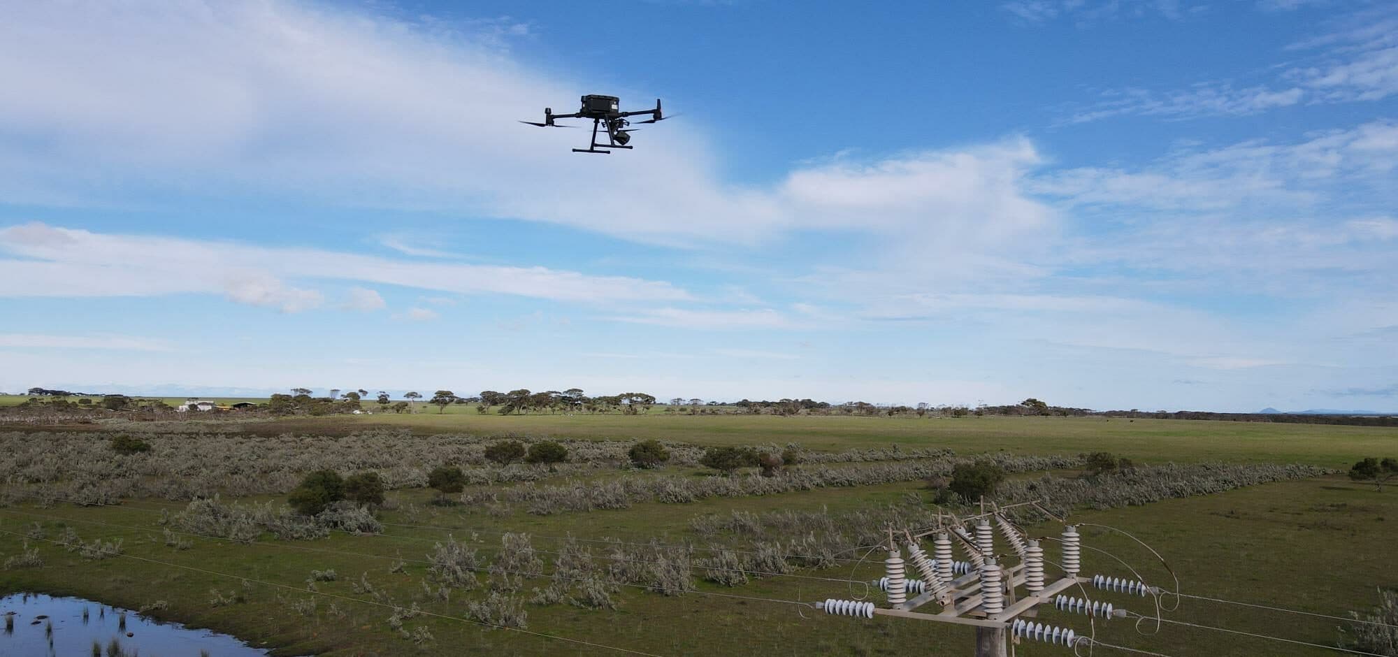
Visual and thermal evidence for roofs, powerlines, towers, solar farms and infrastructure. Give maintenance teams a clearer basis for review and follow-up.
National Drones provides visual and thermal drone inspections for asset owners across Australia. Capture difficult-to-reach components without putting a person beside every asset. We plan the work around site access, operating risks and the evidence your maintenance team needs, while retaining field checks where remote imagery is not sufficient.
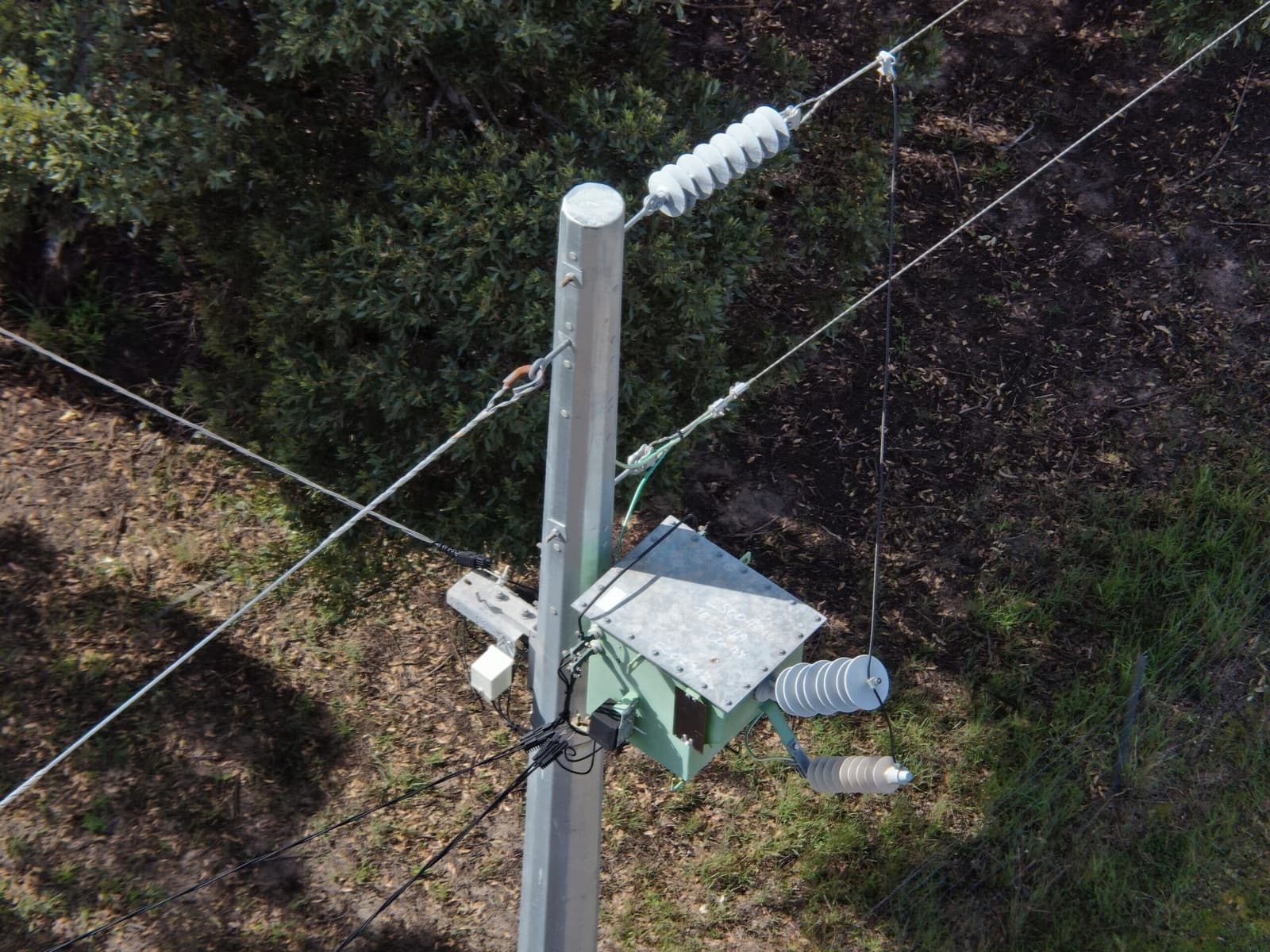
High-resolution aerial photography for examining power stations, electricity lines, telecommunications towers, high-rise constructions, building sites, dams, wind turbines, solar panels, commercial roofs, and industrial infrastructure. We use SmartData software to support comprehensive asset analysis.
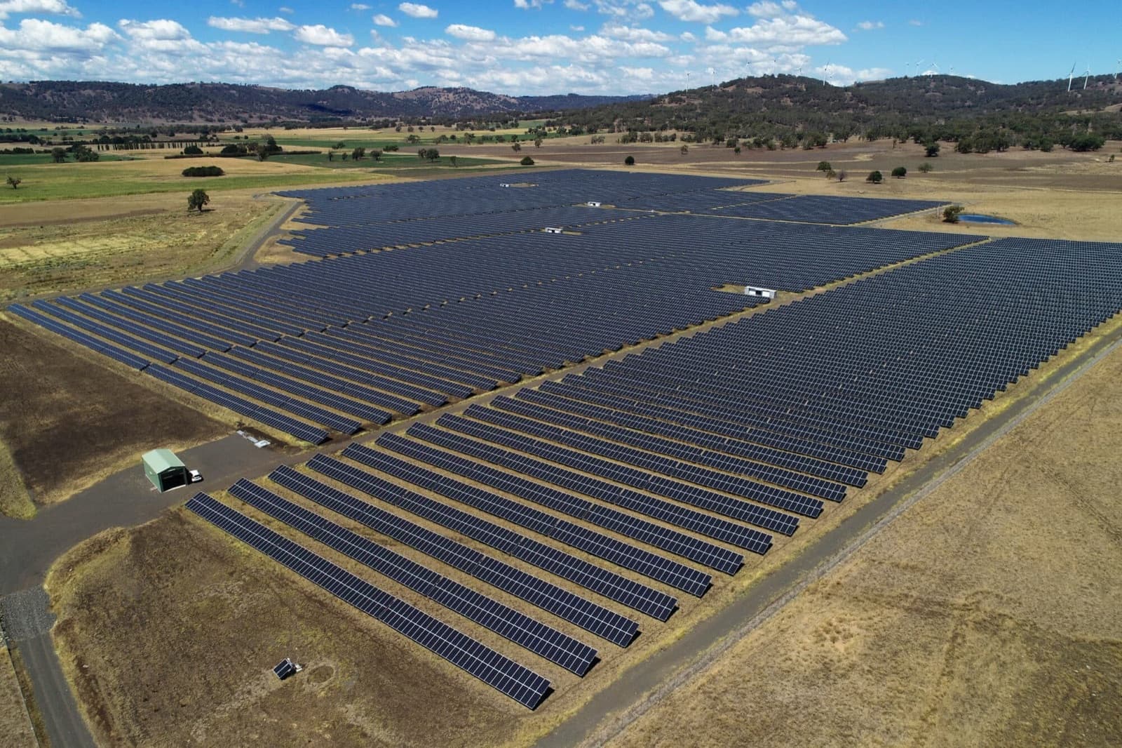
Compare successive inspections of roofs, solar farms and other assets using a consistent capture scope and asset register. Visual images record surface condition; thermal images show temperature patterns for review under suitable conditions. A repeatable evidence set helps your team prioritise follow-up rather than relying on isolated photographs.
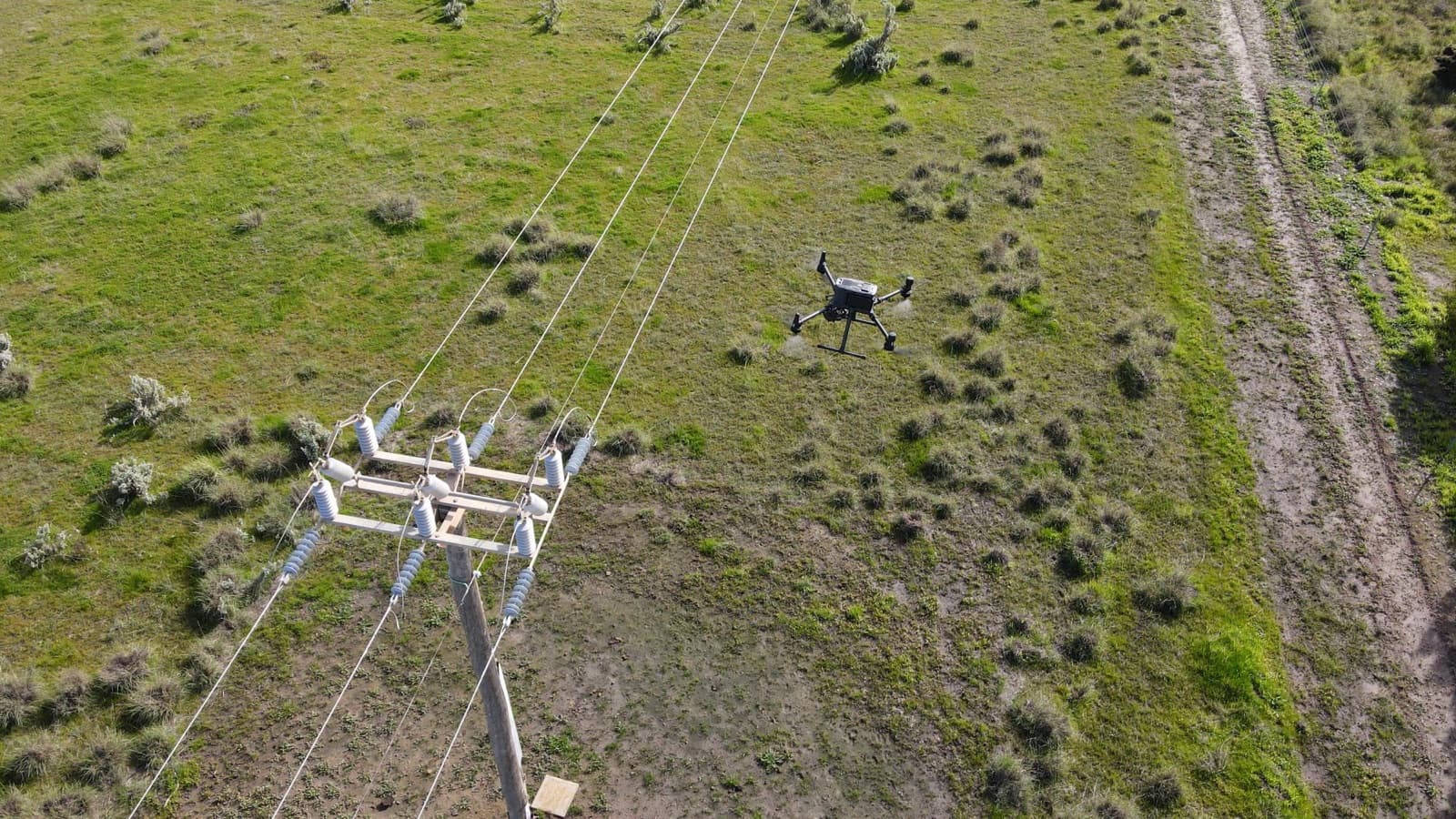
Keep inspection imagery tied to assets and locations so reviewers can find, annotate and share the same evidence. SmartData's Inspection Viewer and 3D tools support review and team access. Agree which observations need a specialist assessment and which outputs must be handed over to your asset-management workflow.
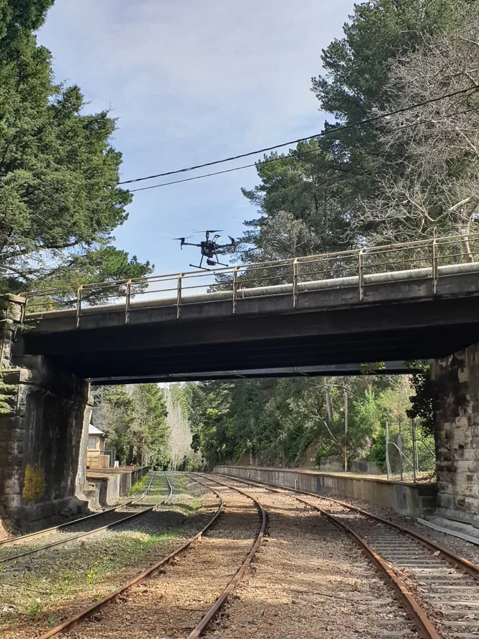
A corridor inspection starts with the asset list, access limits and required views. Plan airspace, site permissions and safe operating positions before capture, then record which surfaces could and could not be inspected.
Keep each image tied to the correct asset. Where imagery cannot establish condition, retain the field check or specialist assessment in the inspection scope.
Define your inspection evidenceMulti-sensor inspection
Bring wide-angle context, close-up detail, zoom and thermal evidence together so asset teams can review the same flight from every useful perspective.
Compare visual context, component detail and thermal signals side by side. The result is a clearer, auditable evidence set for maintenance planning and follow-up inspections.
Thermal imaging drone inspections for solar panels, electrical systems, roofing, and building defects. Identify issues invisible to standard cameras.
Aerial fire-ant surveillance using radiometric thermal and RGB evidence, candidate detection, analyst review, and georeferenced outputs for field follow-up.
Accurate digital terrain models for areas covered fully or partially by trees or vegetation. High-precision 3D point cloud data.
Compare scope and agree the evidence your team needs before booking.
See how we have delivered for clients across Australia.
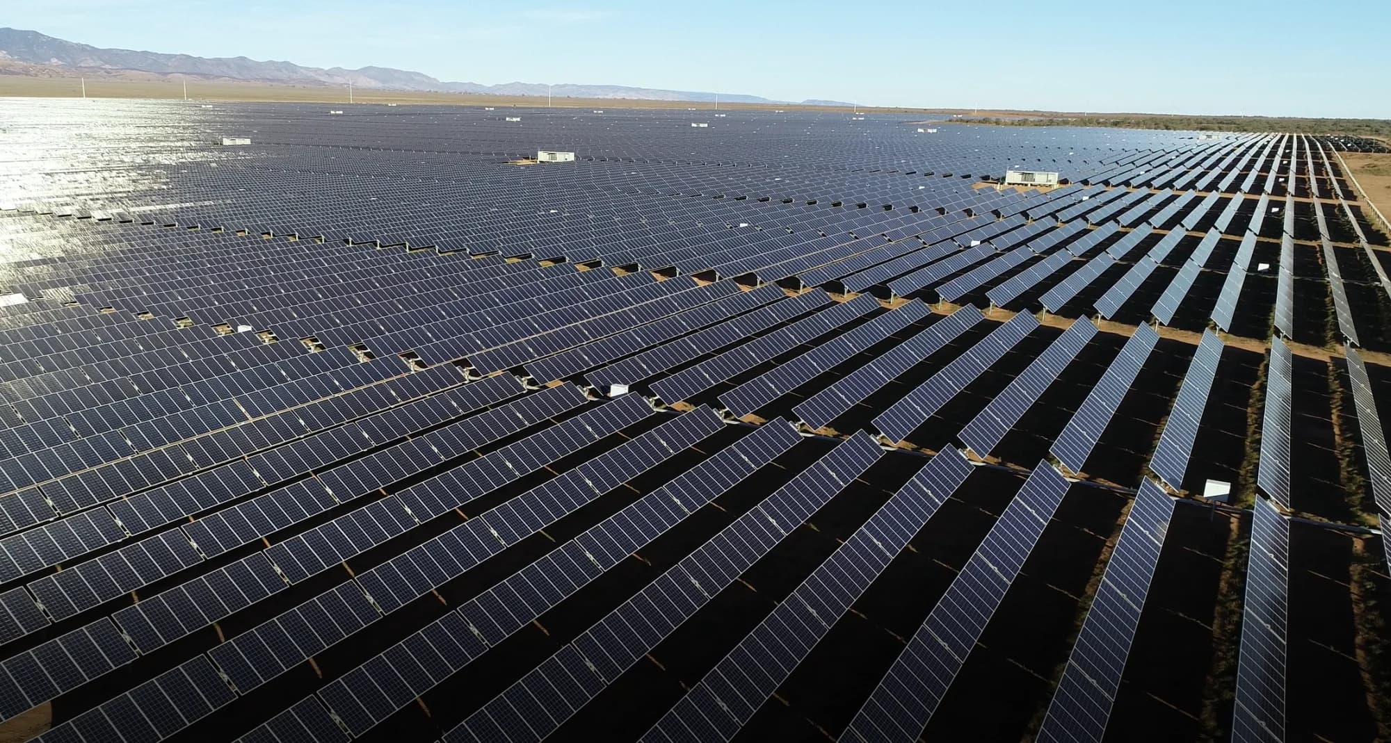
Renewable Energy
Elecnor
A repeatable drone inspection program used thermal imaging and high-resolution RGB mapping to support maintenance planning across Bungala 1 and 2 in South Australia.
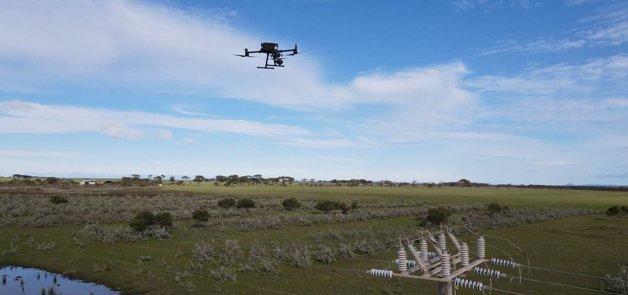
Critical Infrastructure
Confidential Facilities Management Provider
A facilities management provider used LiDAR, RGB and thermal inspection data to improve power pole condition review and vegetation maintenance planning across multiple sites.
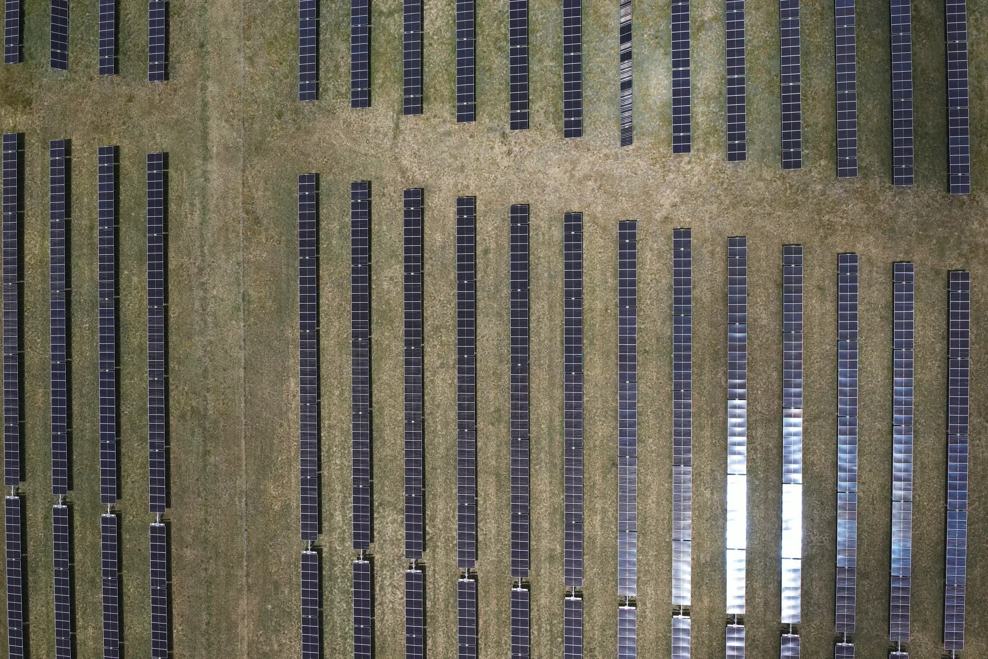
Renewable Energy
Elecnor
National Drones delivered high-volume thermal and RGB aerial data capture for a 520 MW solar farm inspection program in New South Wales.
Send the asset list, site location, access constraints, required visual or thermal evidence and target date. We will agree the capture plan and reporting scope.