
Thermal Imaging to Revolutionise Inspections
National Drones operates FLIR Zenmuse XT thermal imaging cameras, combining the expertise of FLIR in infrared and thermal imaging with advanced drone platforms. Our thermal imaging services reveal temperature variations invisible to standard cameras, identifying damaged equipment and building defects with precision.
How it works
How thermal imaging works
See how thermal cameras reveal surface temperature patterns, and why emissivity, reflections and inspection timing matter.
2 minutes 57 seconds · English captions
The camera and hot-plate illustrations are examples. Reflections can affect readings in either direction. We confirm suitable capture conditions and assessment methods for your assets.
Discuss your thermal inspection
Read the video transcript and visual descriptions
How thermal imaging works.
Everything warmer than absolute zero gives off infrared. Thermal cameras read the long-wave band, roughly eight to fourteen micrometres. Our eyes can't see it.
It's emitted heat, not reflected light. It works in total darkness, but it can't see through walls or glass.
Inside is an uncooled microbolometer: a grid of tiny pixels that warm up, change resistance, and become an image.
Resolution is low: six forty by five twelve, about a third of a megapixel.
Sensitivity, or N E T D, is often fifty millikelvin or better.
Radiometric cameras store a temperature for every pixel. Non-radiometric ones only make a picture.
Emissivity is how well a surface gives off its heat. Here's one hot plate, half painted, half polished.
The paint reads true. The shiny metal reads cold, and mirrors its surroundings.
So set emissivity for the material.
Distance and humidity soak up signal, and sun-heated surfaces skew the picture. A reading can lie.
Palettes only colour the data. White hot, black hot, ironbow: the temperatures don't change.
Tighten the span and level to make small differences pop.
Timing matters. Around dawn and dusk, objects and background can match. That's thermal crossover, and contrast disappears.
Inspect solar under strong, clear sun. Search for people at night, or when it's cool.
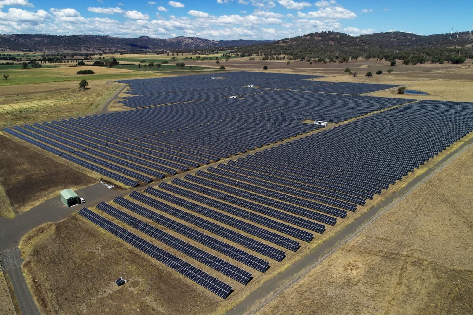
On a solar farm, a faulty cell shows up as a hot spot.
Thermal also finds wet roof insulation after sunset, powerline hot spots, fires, wildlife, crop stress and heat loss.
Fewer pixels means coarser ground detail at the same height. Need detail? Fly lower.
Glass panels reflect like mirrors, so angle the camera off the reflected sun and sky.
Night flying sits outside the standard operating conditions. Check CASA's current rules and your approvals first.
Recap. Thermal sees emitted heat. Emissivity can fool you. Palettes don't change the data. And timing is everything.
Quick check. Same hot plate. Which reading do you trust?
The paint. Shiny metal reflects, so it reads cold.
Visual descriptions
The original narration is accompanied by soft instrumental music.
The animation contrasts visible and thermal views. An illustrated drone thermal sensor uses 640 by 512 pixels and NETD of 50 millikelvin or better. These are example camera figures.
The same hot plate is half matte paint and half polished metal. In the illustrated cooler surroundings, paint appears hot while the reflective metal appears cooler. This illustrates emissivity and reflected radiation; reflective surfaces can also appear too hot in other surroundings.
White-hot, black-hot and ironbow palettes recolour the same data. A dawn and dusk example shows the object and background at similar temperatures, which reduces contrast.
The solar illustration shows a hot spot. Later scenes show thermal applications, pixel size on the ground, reflected sun and sky, and the requirement to check applicable night-flight rules and approvals.
The final check compares polished metal and matte paint on the same hot plate. The choices are polished metal, matte paint, or both. The animation selects matte paint as the more reliable surface in this example.
Comprehensive Defect Detection
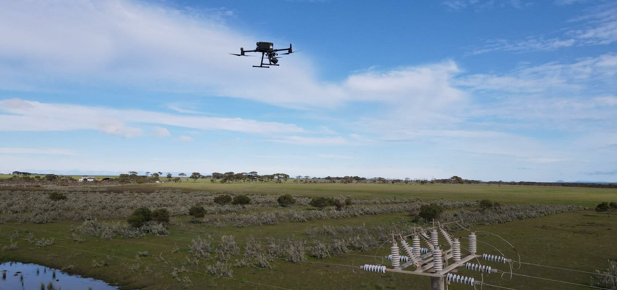
Thermal technology captures defects across expansive areas with precision, enabling detailed analysis and comprehensive reporting that was previously inaccessible or prohibitively expensive. From solar panel hotspots to building envelope failures, our thermal inspections deliver actionable data.
Compare Visual Context With Thermal Patterns
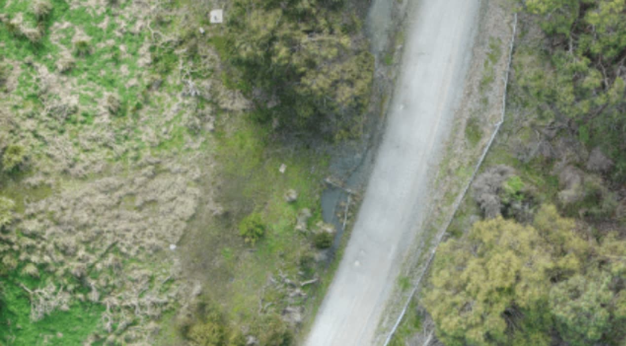
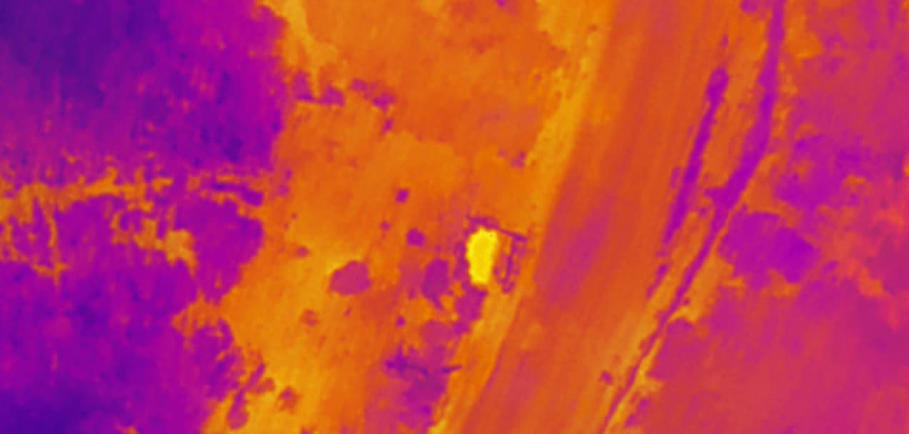
The visual image records the scene. The thermal image shows a different pattern for review. Capture conditions, sensor settings and specialist interpretation matter: a colour difference alone does not confirm a defect or its cause.
Applications Across Industries
Originally developed for military purposes, thermal imaging has expanded across multiple sectors with proven results.
Power Line Maintenance
Detecting overheating joints and connections to prevent equipment failures and costly outages.
Building Management
Identifying heat losses to optimise heating and cooling efficiency, reducing energy costs.
Solar Panel Inspections
Assessing equipment performance and identifying faulty cells across large solar arrays.
Firefighting
Visibility through smoke, locating people, and identifying hotspots for rapid emergency response.
Law Enforcement
Surveillance management, search and rescue operations, and crime scene investigation support.
Roof Inspections
Detecting moisture ingress, insulation deficiencies, and structural issues across commercial roofing.
Specialist thermal application
Thermal fire-ant detection
See how radiometric thermal and RGB capture can support candidate detection, analyst review, and georeferenced field follow-up—along with the conditions and limitations that shape a credible survey.
Real Results
See how we have delivered for clients across Australia.
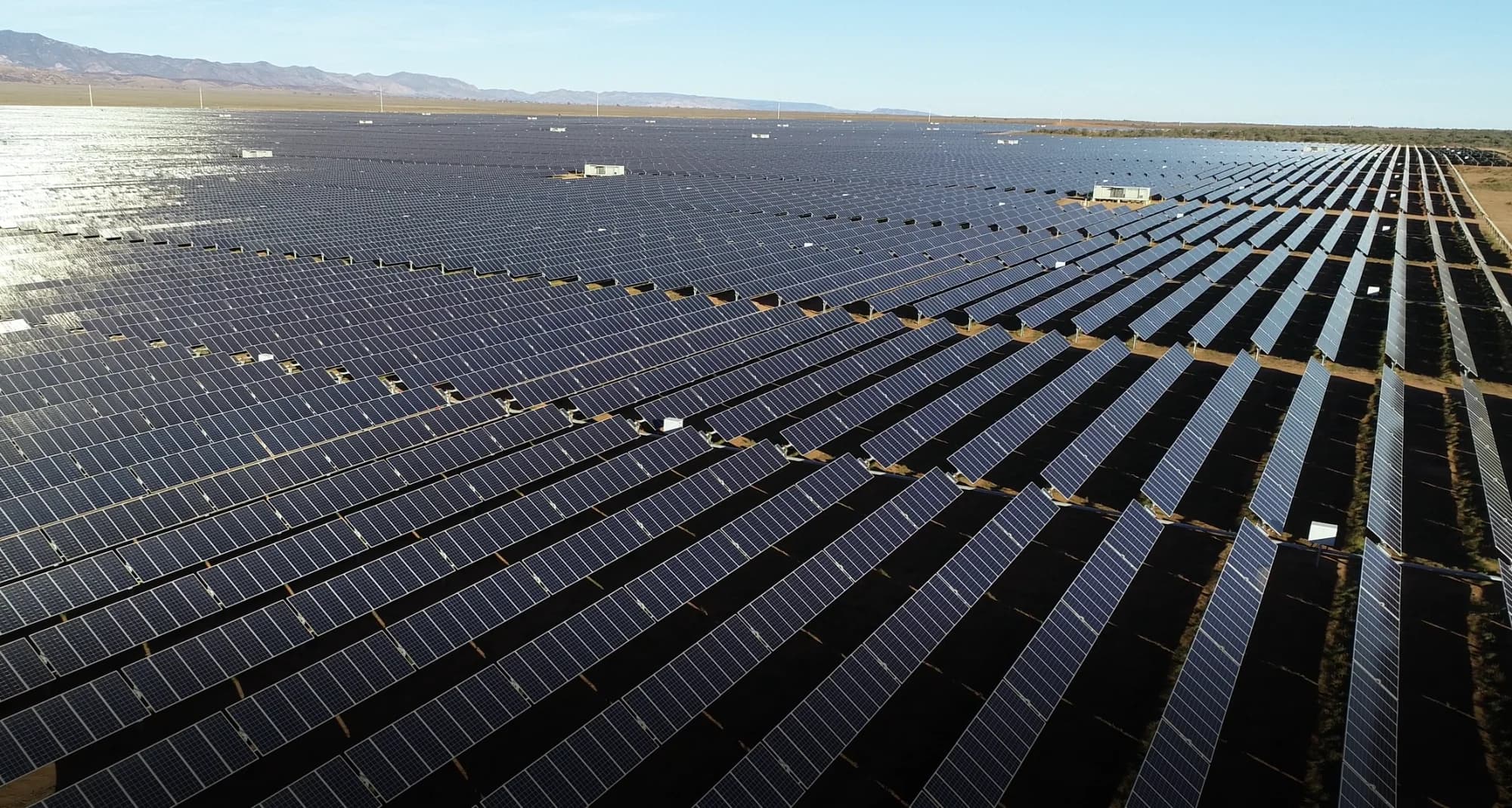
Renewable Energy
Bungala 1 and 2 Solar Farm Drone Thermal Inspections
Elecnor
A repeatable drone inspection program used thermal imaging and high-resolution RGB mapping to support maintenance planning across Bungala 1 and 2 in South Australia.
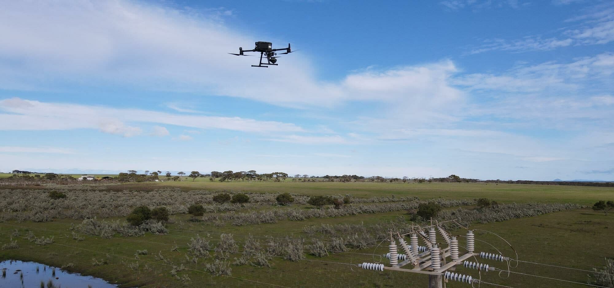
Critical Infrastructure
Multi-Site Power Pole and Vegetation Encroachment Assessment
Confidential Facilities Management Provider
A facilities management provider used LiDAR, RGB and thermal inspection data to improve power pole condition review and vegetation maintenance planning across multiple sites.
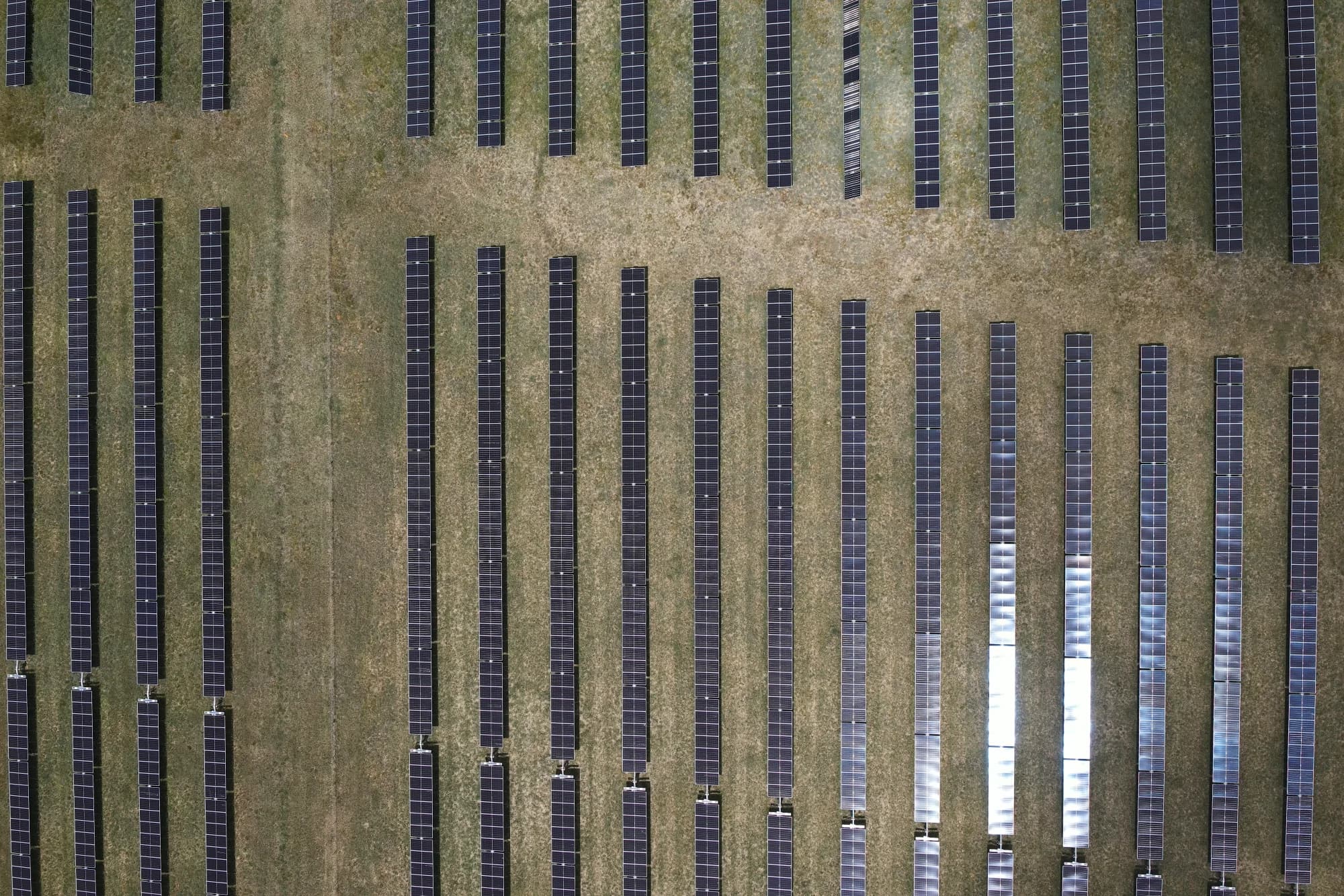
Renewable Energy
New England Solar Farm Drone Thermal Inspection
Elecnor
National Drones delivered high-volume thermal and RGB aerial data capture for a 520 MW solar farm inspection program in New South Wales.
Water & Wastewater
Gippsland Water
National Drones partnered with Gippsland Water to reduce maintenance inspection times and gain greater insights into asset condition via aerial survey, thermal imaging, and NDVI analysis.
Frequently Asked Questions
- What can thermal drone inspections detect?
- Thermal drones detect temperature anomalies invisible to the naked eye, including faulty solar panel cells, overheating electrical connections, moisture ingress in roofs and walls, insulation deficiencies, plumbing leaks, and structural defects. The FLIR Zenmuse XT cameras used by National Drones provide radiometric data for precise temperature measurement at each pixel.
- How does thermal imaging compare to visual inspection?
- Visual inspections identify surface-level damage, while thermal imaging reveals subsurface issues such as heat loss, moisture penetration, and electrical faults that are completely invisible to the eye. Combining both methods provides a comprehensive view of asset condition. Thermal inspections are also non-contact and non-destructive, preserving the integrity of the asset being assessed.
- Which industries benefit most from thermal drone inspections?
- The energy sector (solar farms, power lines, substations), building and construction (roof assessments, envelope testing), mining (stockpile monitoring, equipment checks), emergency services (firefighting, search and rescue), and agriculture (irrigation and crop health) all see significant value from thermal drone inspections.
Ready to See What Drones Can Do?
Tell us about your project and we'll send you a tailored proposal — most quotes are turned around within 24 hours.