
New SmartData processing and analytics workflows
SmartData is expanding from BYO hosting into processing and analytics workflows for DJI L3 LiDAR, Elios confined-space data, ODM photogrammetry, Gaussian Splatting, powerline corridors, contour context, and forestry intelligence.
Processing
L3, Elios, ODM
Views
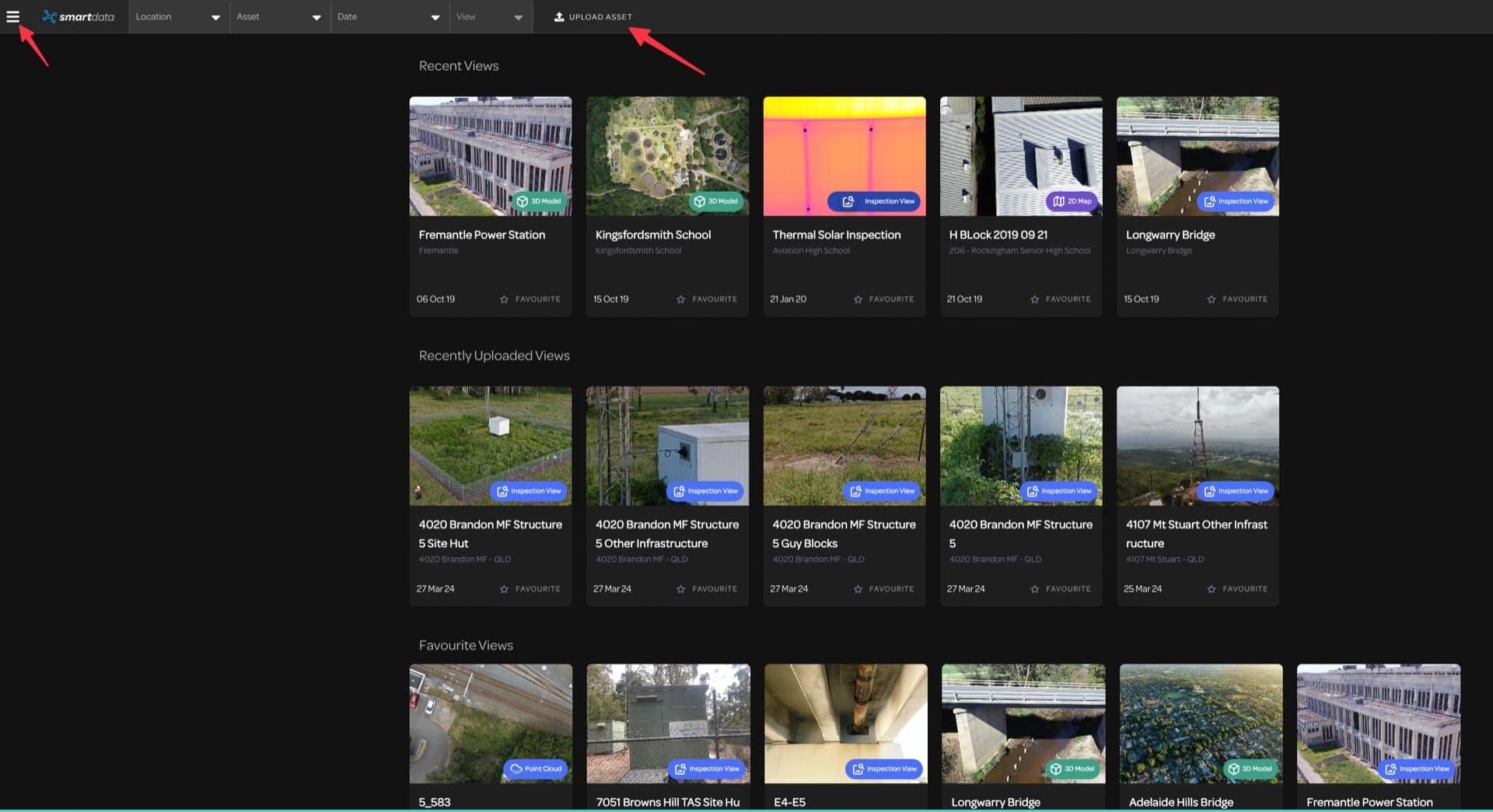
3D Tiles, point cloud, splats
Analytics
Powerline and forestry
New SmartData capabilities
Explore SmartData workflows for processing, hosting, AI-assisted dataset preparation, analysis, and review. Each page shows what is available now, what is in early access, and what is still in development.
AI-Assisted Labelling
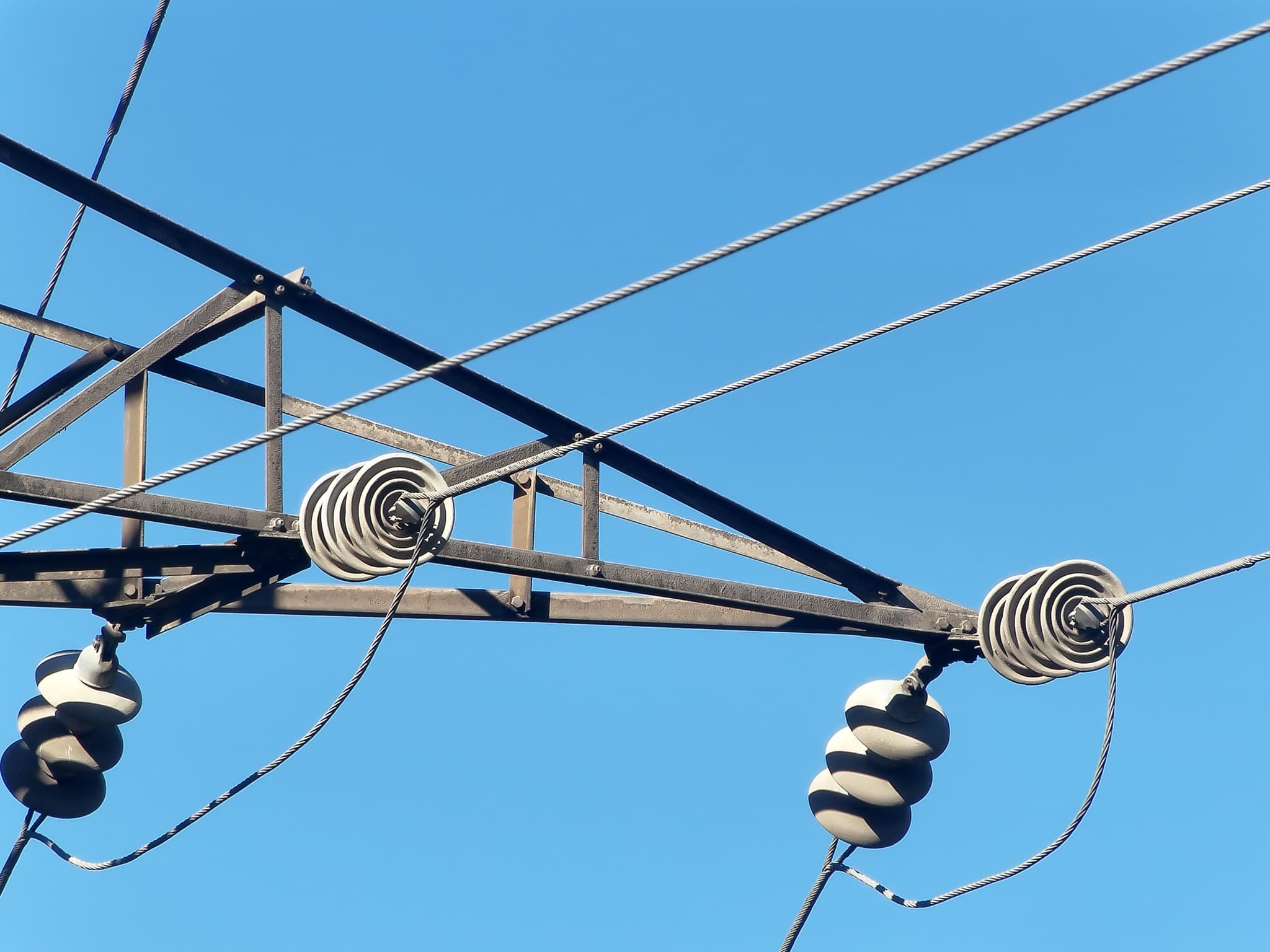
Live demoCreate first-pass infrastructure labels, review every suggestion, and see how a controlled dataset can support your own model.
Try the live workflow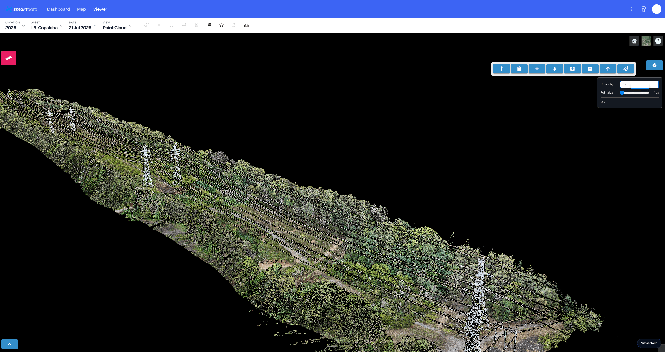
DJI L3 Processing
Early accessEarly access for teams that want to discuss DJI L3 mission processing and review the resulting point cloud in SmartData.
Explore workflow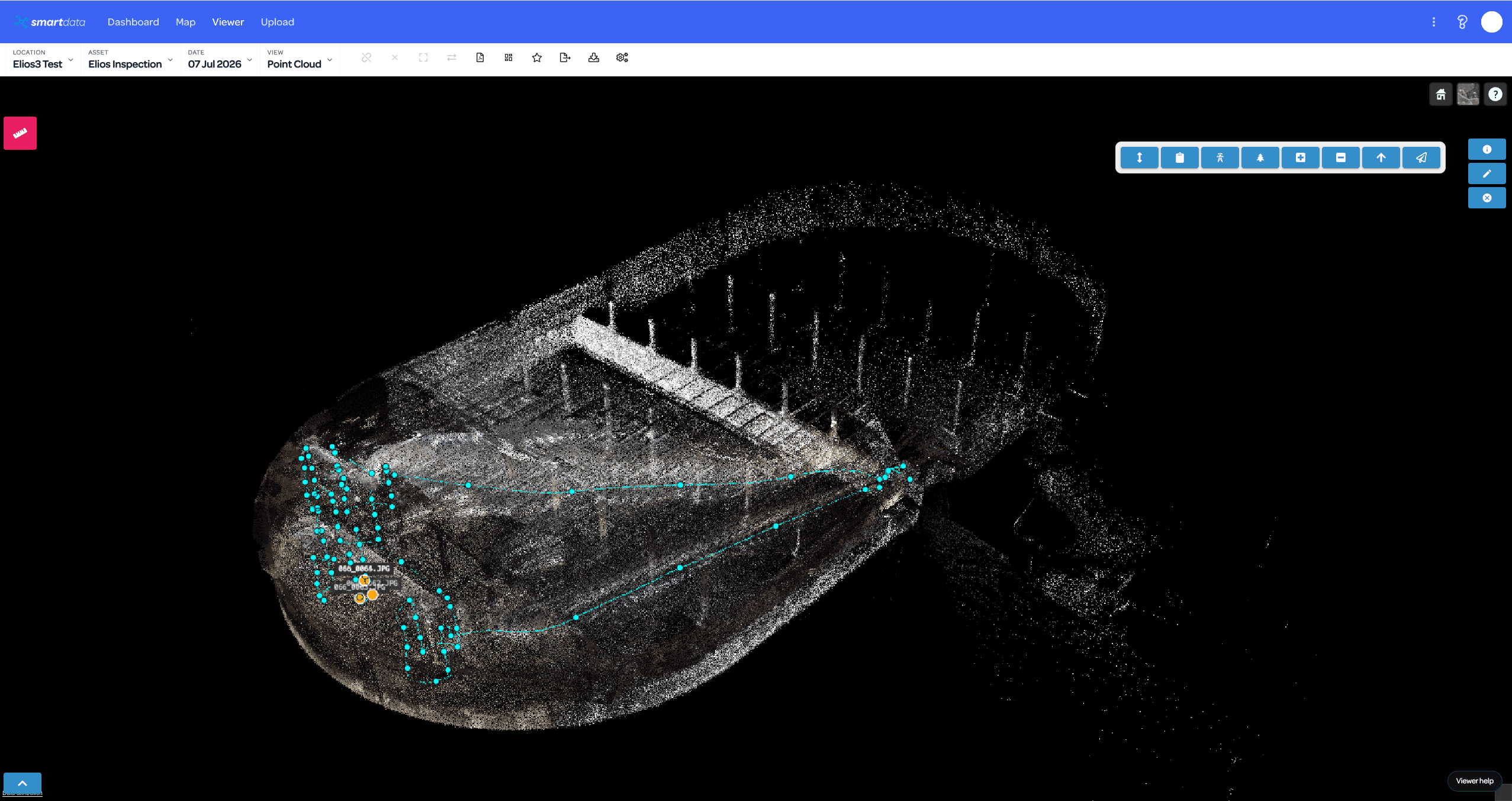
Elios Data Processing
Operational workflowReview Elios inspection data in SmartData with point cloud, flight path, frame markers, and linked imagery when the package is prepared for the workflow.
Explore workflow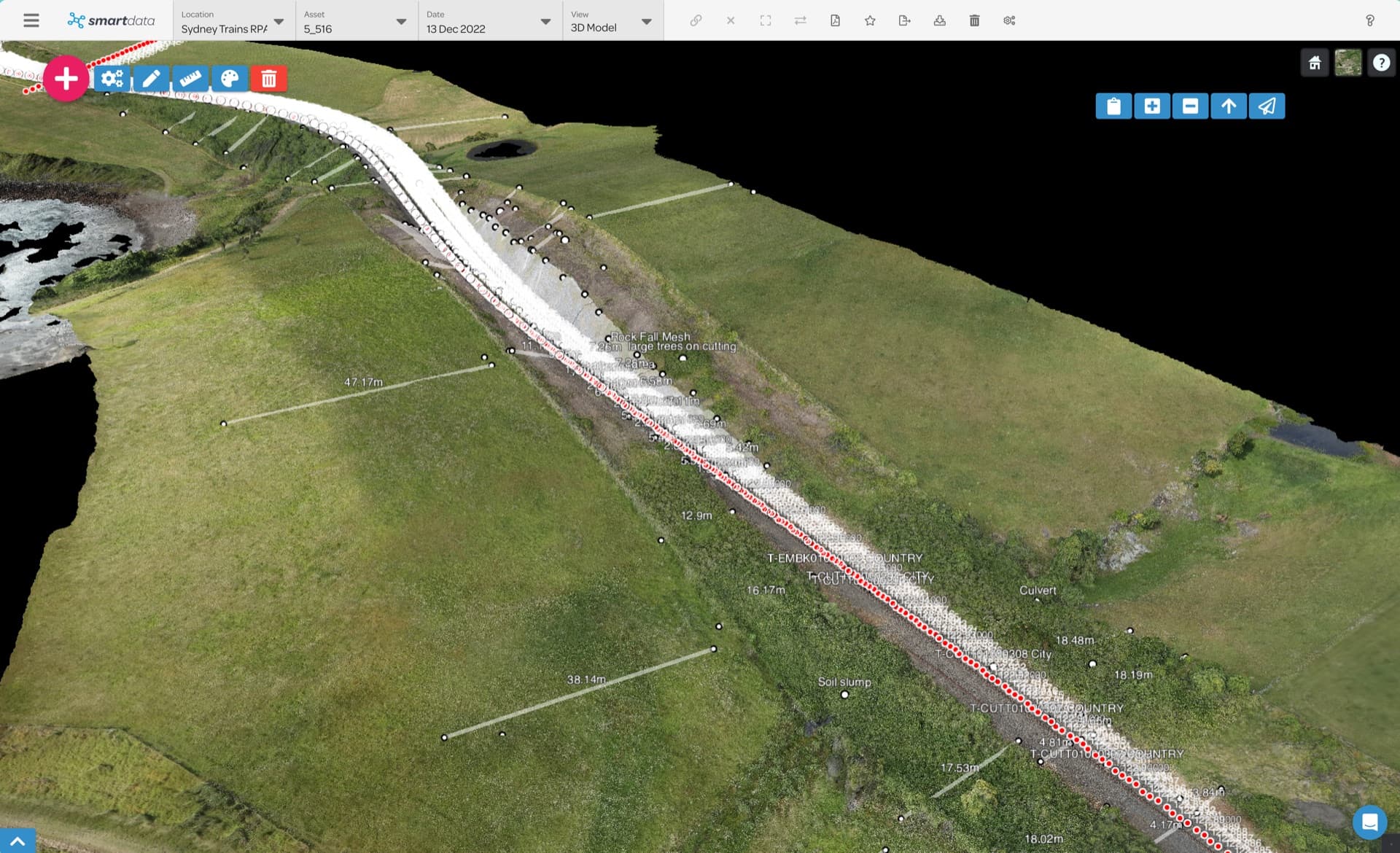
Photogrammetry Engine
In developmentIn development for controlled photogrammetry processing; it is not available as a general self-service workflow.
Explore workflow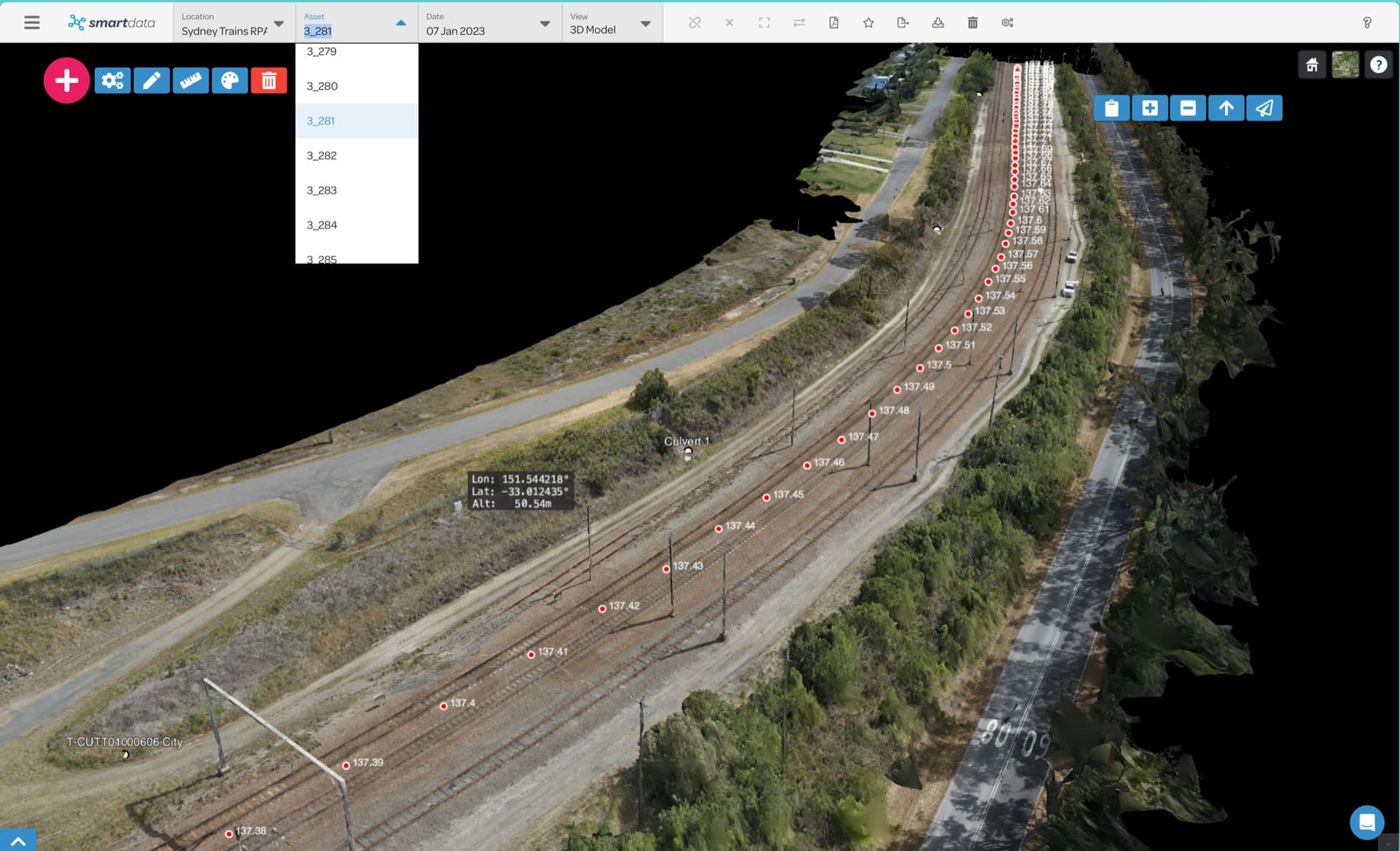
Gaussian Splatting
PreviewHost supported, viewer-ready Gaussian Splat packages, or discuss the processing preview for creating immersive 3D views from imagery.
Explore workflow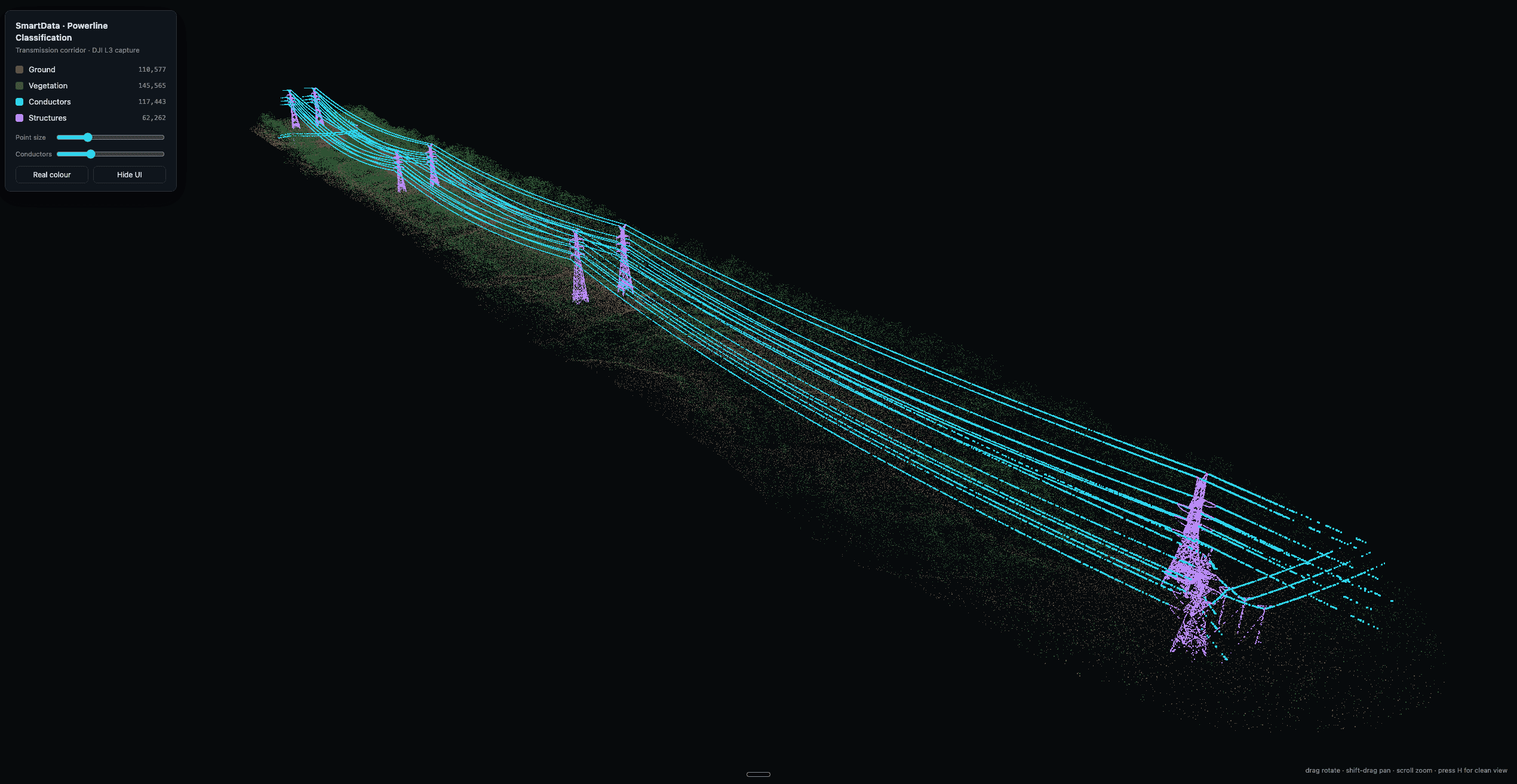
Powerline Analytics
Scoped serviceCapture or supply a corridor scan, then receive expert-QA classification, hosted network review, span analytics, vegetation screening, and clearance-envelope evidence.
Explore workflow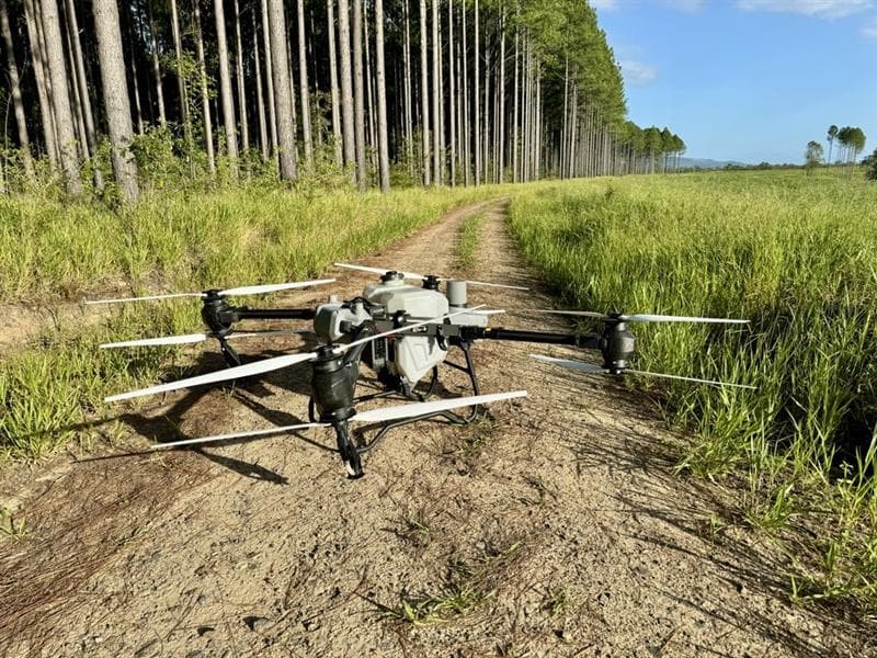
Forestry Intelligence
Active buildoutPlan a forestry pilot using LiDAR and ForestSmart to explore tree detections and relative inventory estimates. These capabilities are in active development.
Explore workflowHow the workflows fit together
BYO hosting remains the low-friction first upload path. Processing workflows give teams a higher-value path when they need SmartData to help turn source data into hosted evidence.
Start with BYO hosting for teams already exporting viewer-ready drone data.
L3, Elios, powerline, and forestry workflows support scoped data pilots.
Contact our team to discuss early-stage processing while self-service checkout is in development.
Real viewer screenshots show exactly what reviewers will see.