From field reality
to decision-ready data.
Every dataset is built on disciplined planning, verified capture and accountable review—so you can act on what the data reveals.
Equipment can fail. Our systems are designed to detect, respond, report and improve.
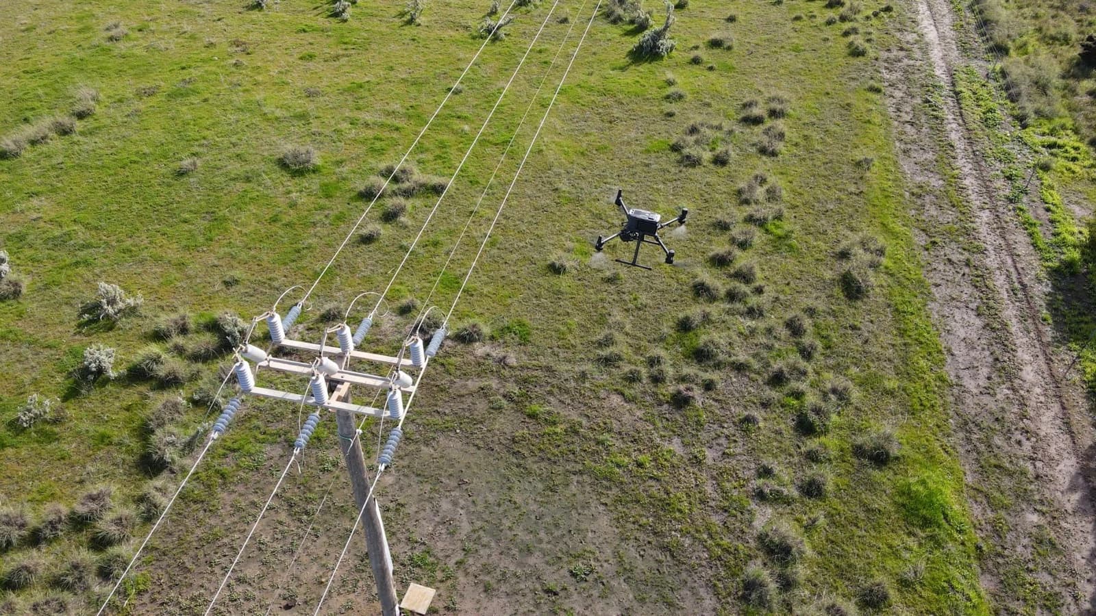
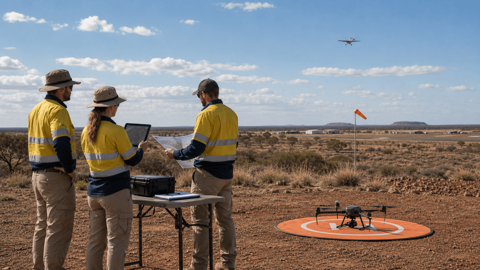
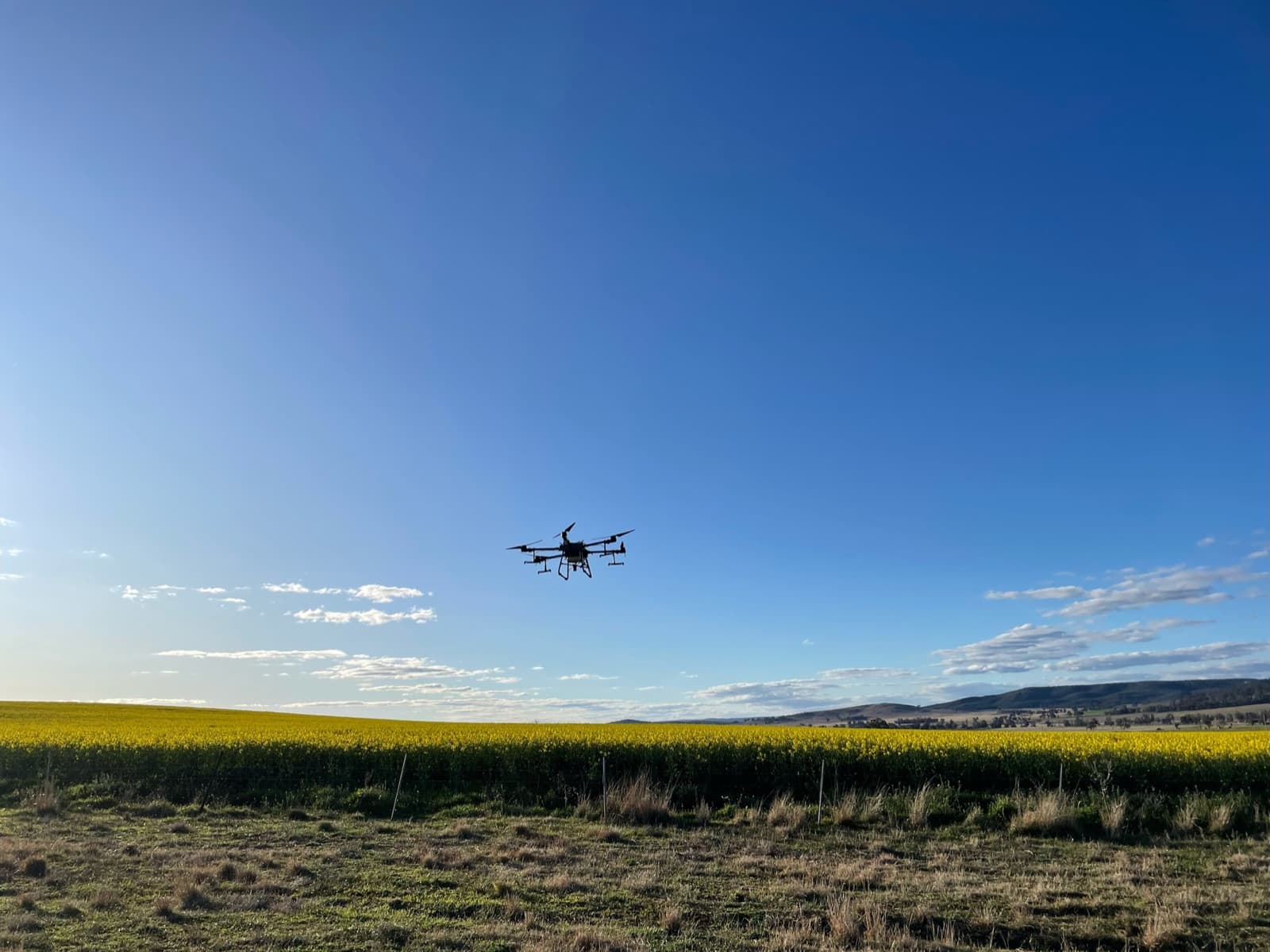
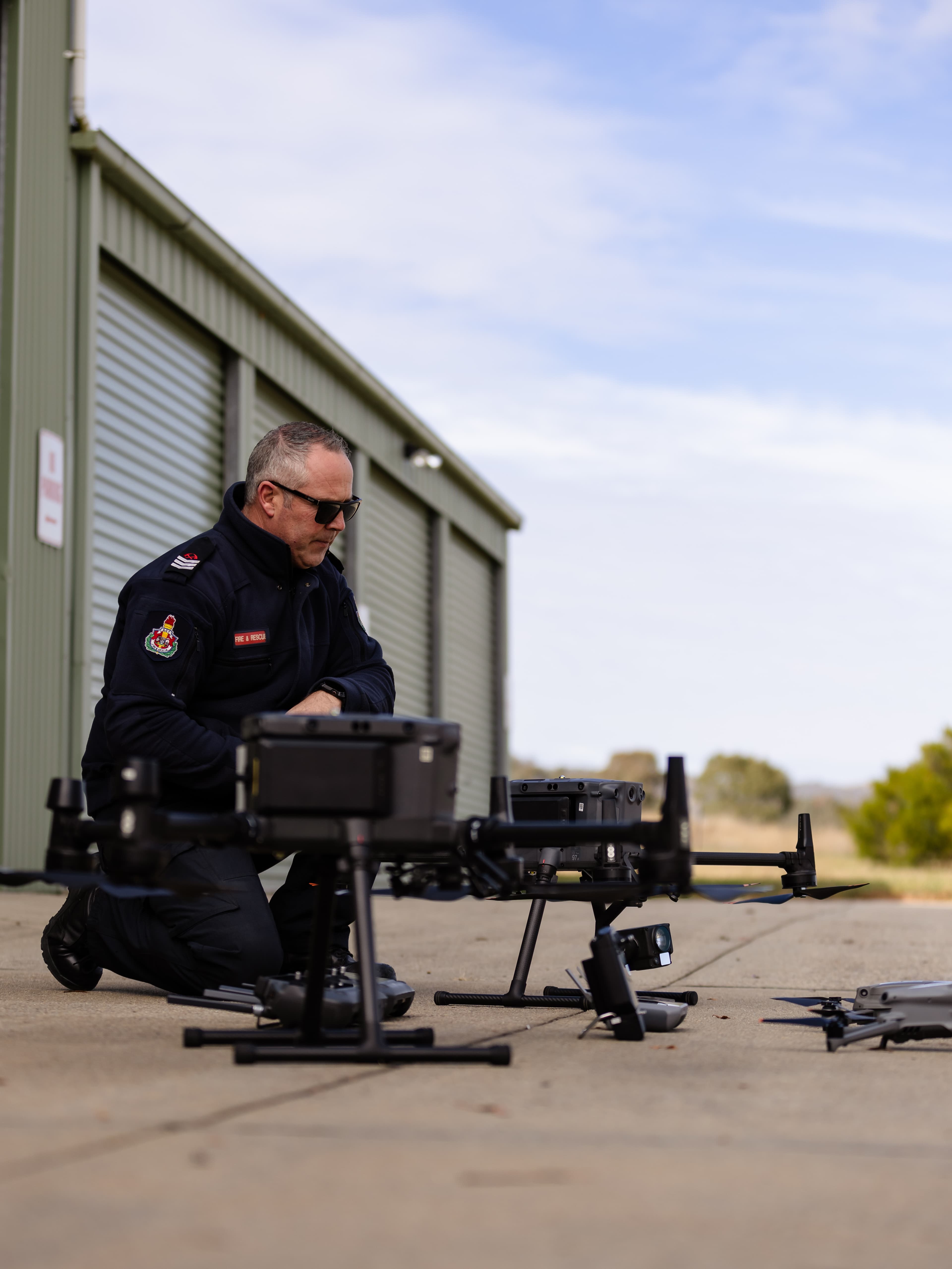
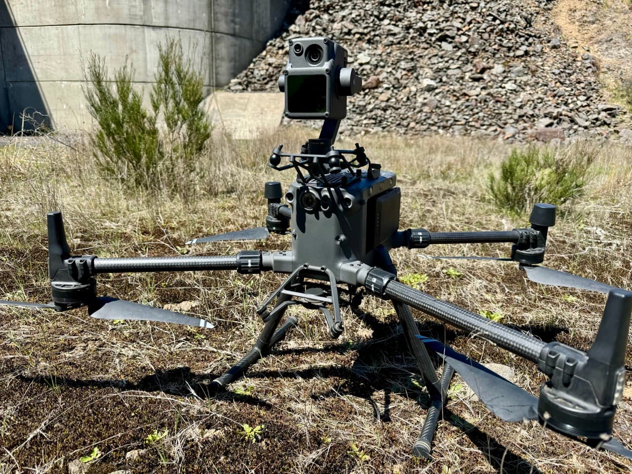
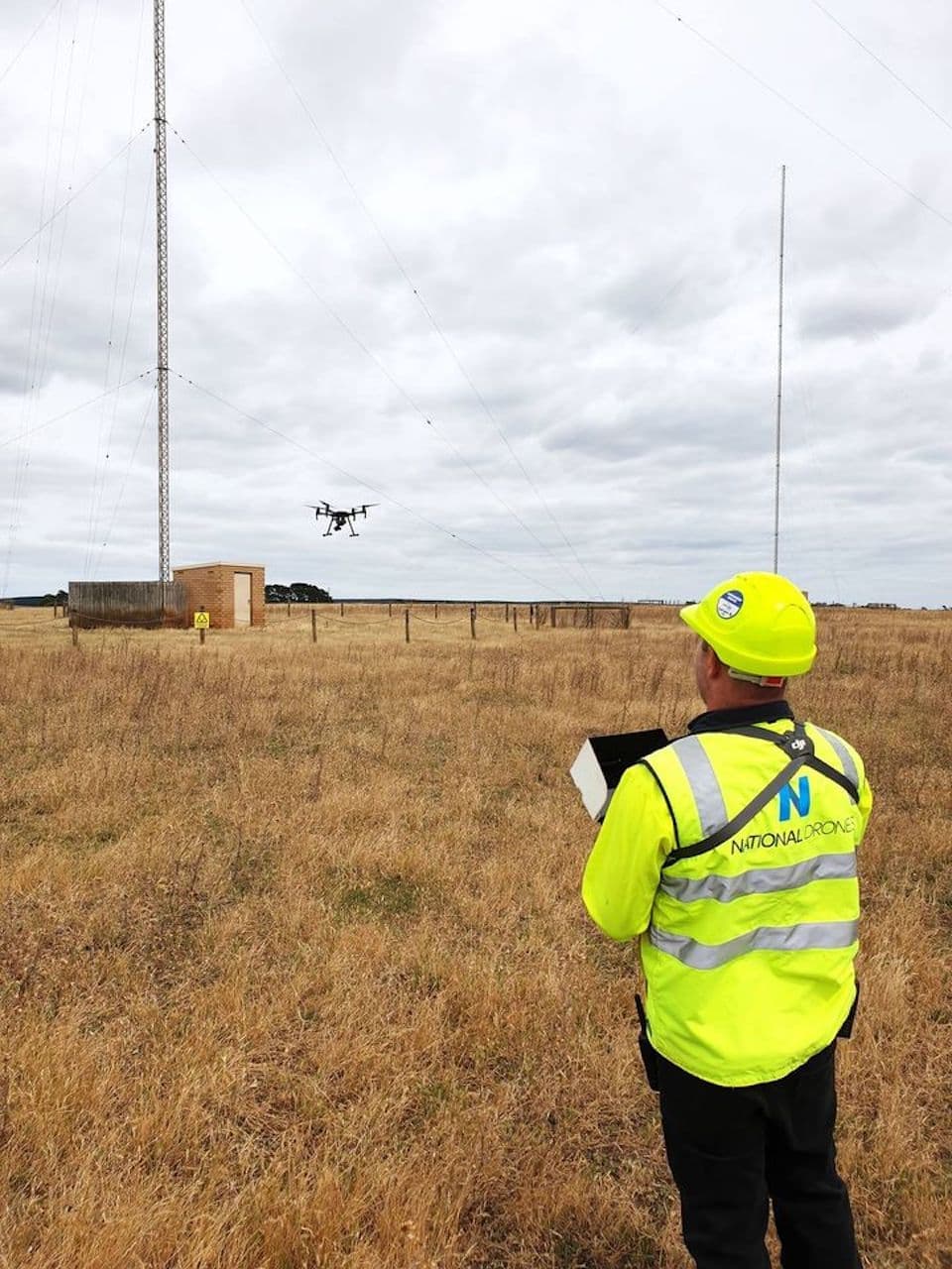
Plan: Assess risk. Design the mission.
Dronecraft Lab
Fly the interactive ND drone challenge
Try a quick third-person drone mission with gates, scan markers, rocket targets, and a live score.
Decision-Ready Data, Delivered Fast
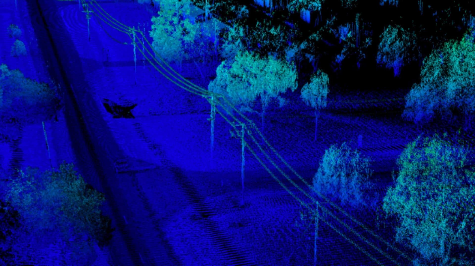
We capture high-resolution imagery, LiDAR, and inspection data, then process it into practical outputs your team can review, share, and act on without waiting on specialist software.
Fast Turnaround
Capture, processing, and delivery timelines built around field decisions.
Useful Outputs
Maps, models, reports, and SmartData workspaces where they fit the job.
Quality Checked
In-house QA keeps deliverables consistent, readable, and easy to trust.
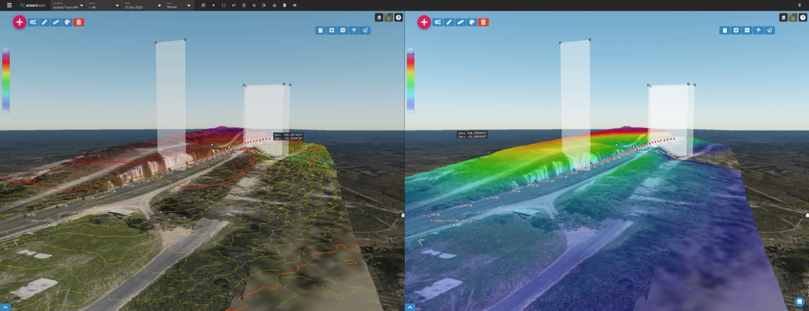
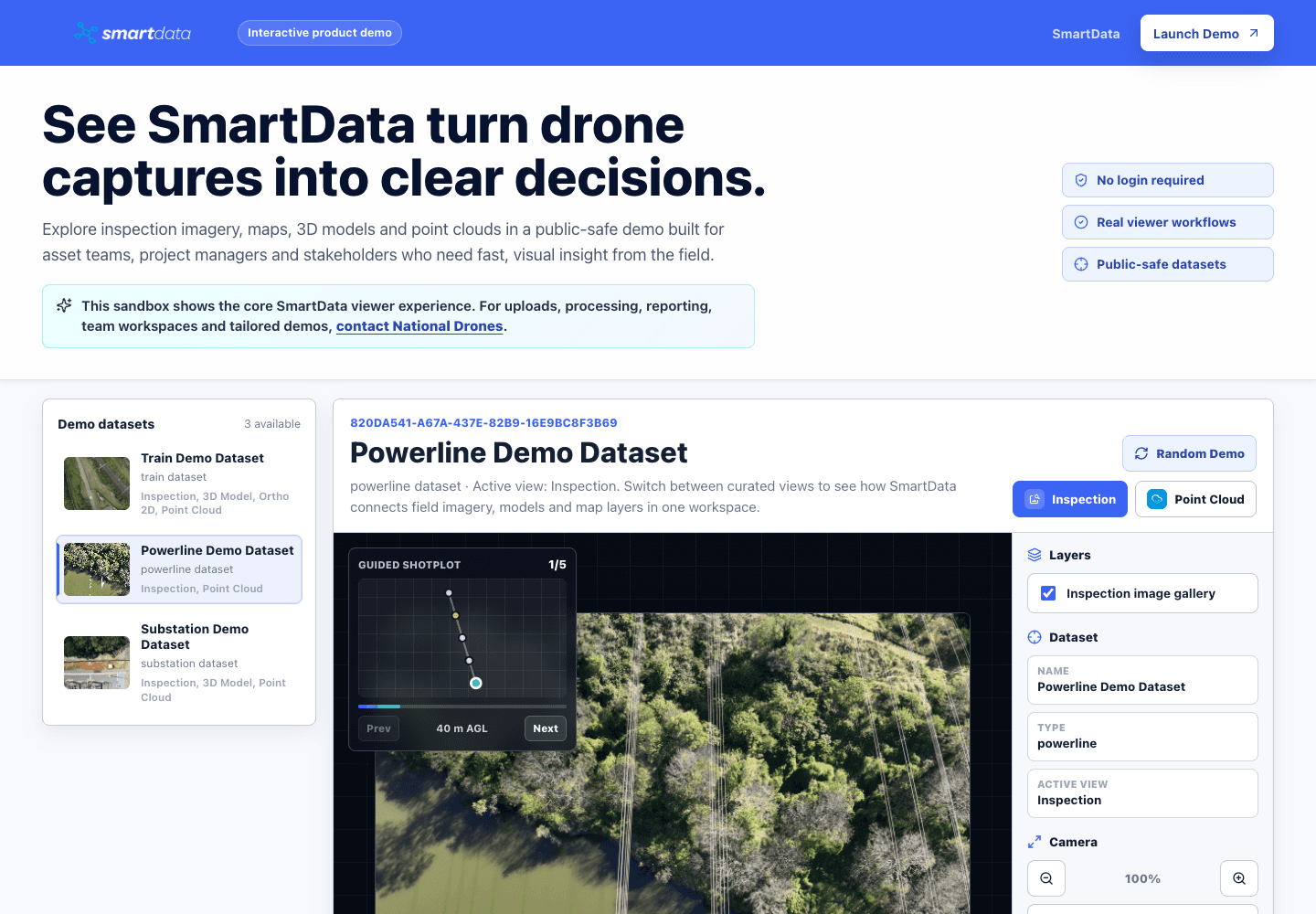
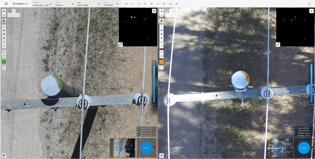
SmartData demo
Put the platform in their hands
Open a public-safe SmartData workspace with inspection imagery, maps, 3D models, and point clouds. It is the fastest way for clients to see how drone data becomes a usable decision tool.
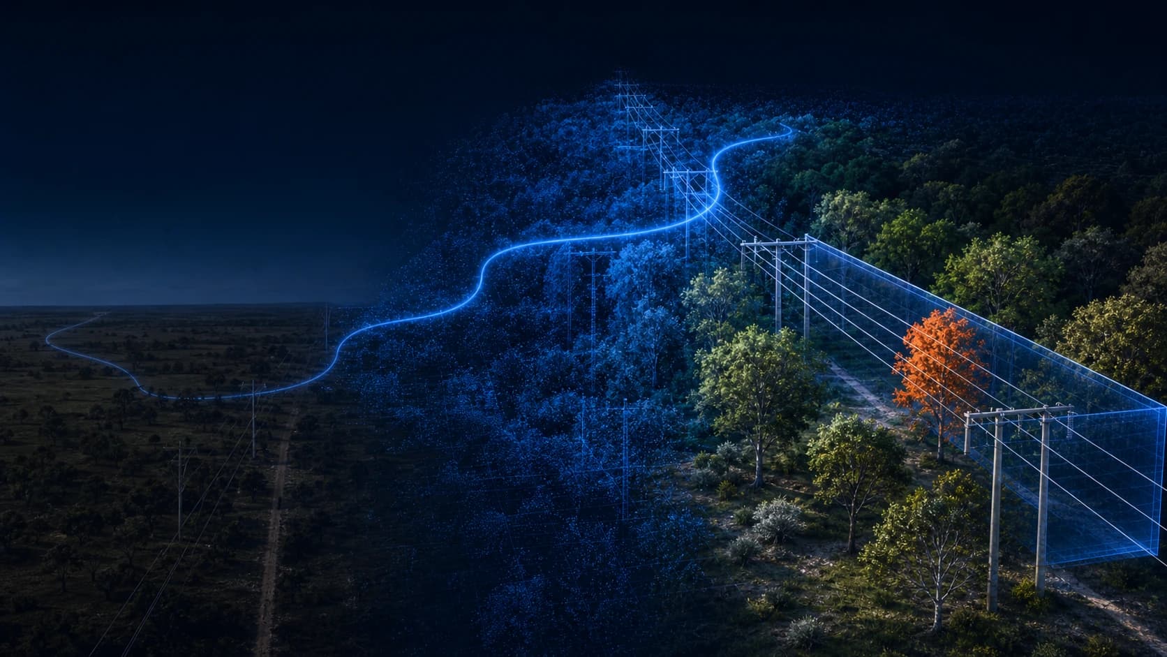
New processing and analytics workflows are coming into SmartData
SmartData is expanding with DJI L3 processing, Elios inspection workflows, our ODM photogrammetry engine, Gaussian Splatting, powerline analytics, contour context, and ForestSmart intelligence.
Early access
DJI L3 Processing
Built for LiDAR programs where DJI L3 raw missions need to become map-aligned, browser-ready evidence without a manual DJI Terra handoff.
Operational workflow
Elios Data Processing
A marketing path for confined-space inspection teams that need Elios data to become reviewable evidence, not just a folder of exported files.
In development
Photogrammetry Engine
The roadmap bridge from today's BYO hosted-view packages to a future capture-to-processing-to-viewer SmartData workflow.
Preview
Gaussian Splatting
A future-facing landing page for teams wanting more photorealistic 3D context than conventional mesh or point cloud outputs can provide.
SmartData BYO and private hosting
Upload your first dataset, or plan private hosting
Already processing data in DJI Terra, Agisoft Metashape, or a similar workflow? Upload supported viewer-ready packages into SmartData, including orthomosaic hosted views, Cesium 3D Tiles, point clouds, and Gaussian Splat datasets.
Start with self-service BYO hosting for a single dataset, then move to Starter, Pro, private cloud, or self-hosted Enterprise when the data needs more control.
1
Dataset Pass
One hosted dataset with 50 GB included storage and 2 seats.
3
Starter
Three hosted datasets for repeat uploads and small teams.
15
Pro
Fifteen hosted datasets with monthly billing for active teams.
Dataset count is the main customer-facing limit. Included storage is the fair-use infrastructure allowance for processed, hosted-view packages. Enterprise can be scoped for private cloud or self-hosted deployment.
Free training resource
Start studying RePL theory
Read the indexed National Drones RePL Study Guide online, with lesson pages, diagrams, practice questions, MOS references and a downloadable PDF generated from the same content.
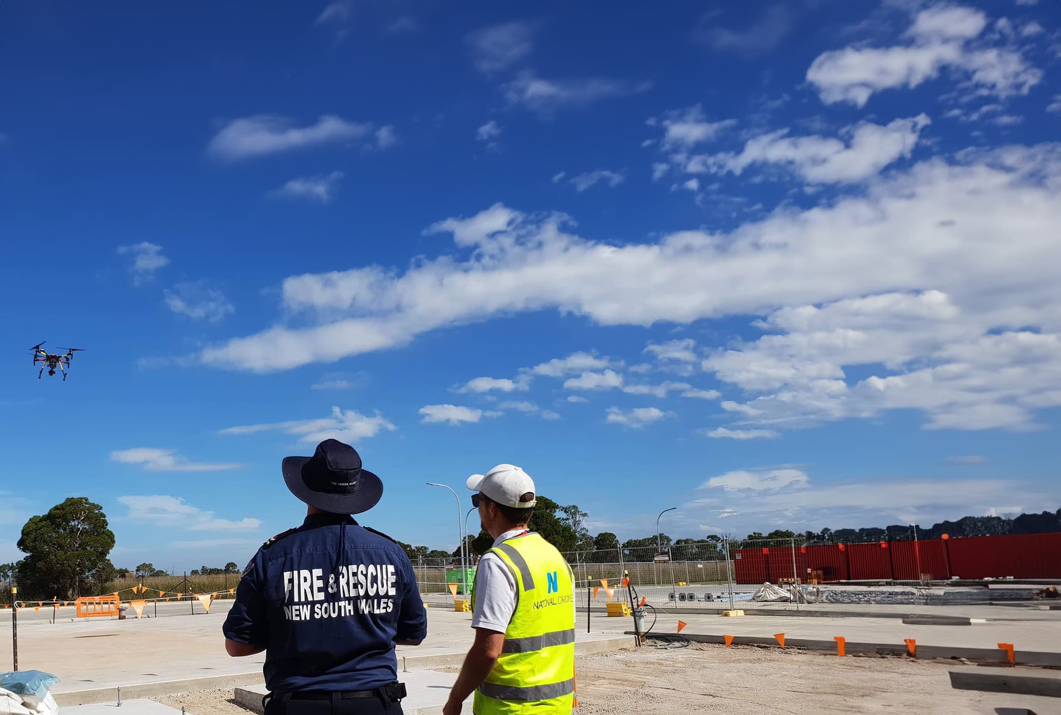
What We Do
End-to-end drone operations — from data capture to deliverables

Why Australia's Biggest Companies Choose Us
The team, certifications, and national reach to deliver at any scale.
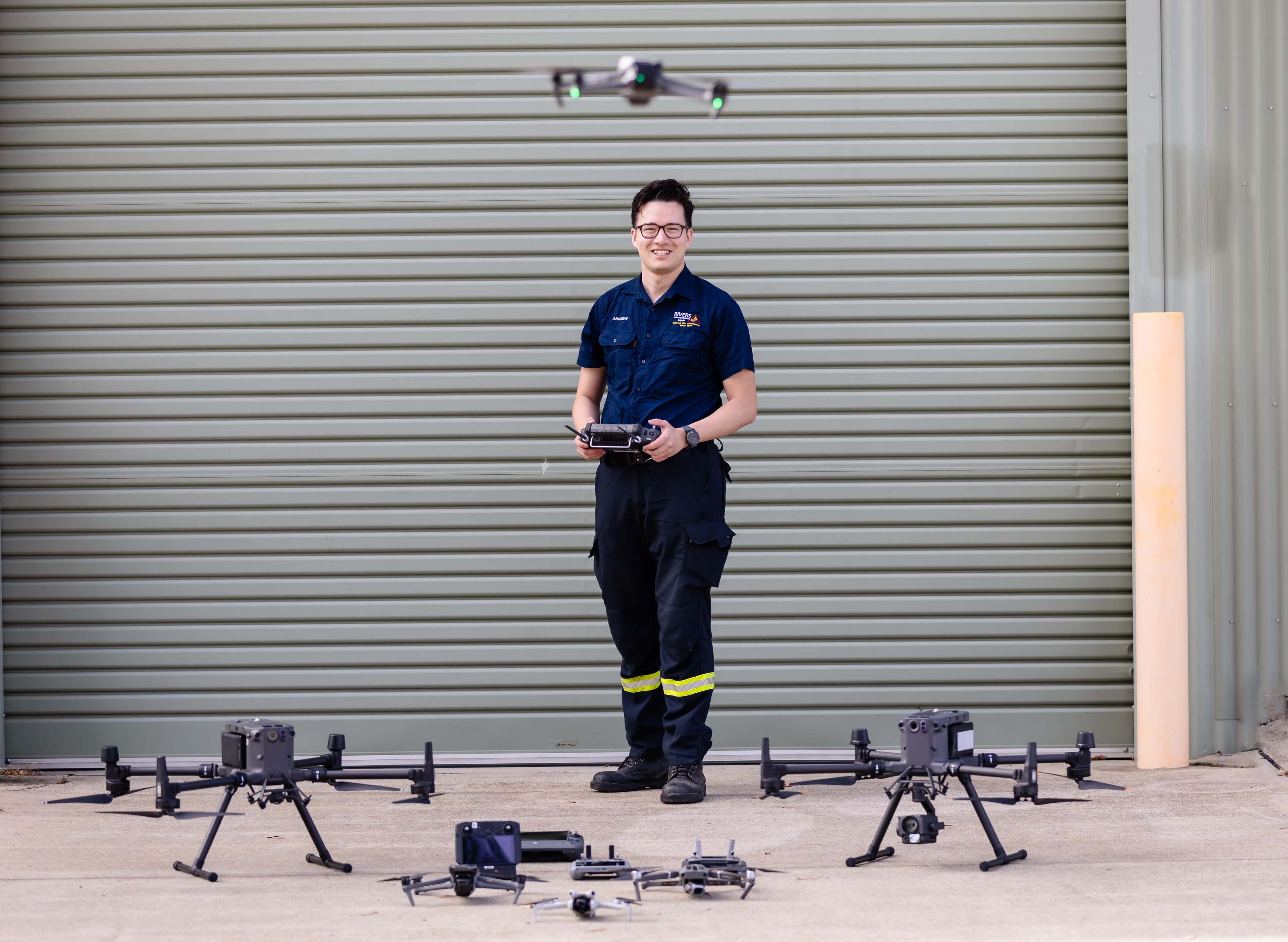
Experience & Expertise
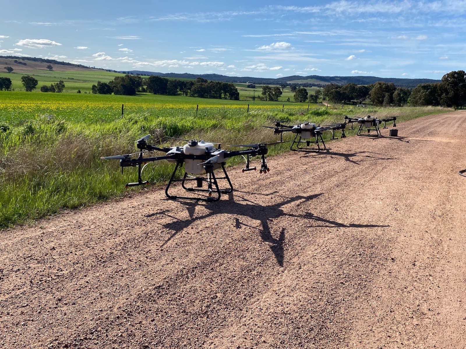
10+ years and thousands of flights across mining, construction, agriculture, energy, and government — backed by mature safety systems and accountable review.
CASA Certified
CASA ReOC holder and Registered Training Organisation — one of the few companies in Australia licensed to both fly and train.
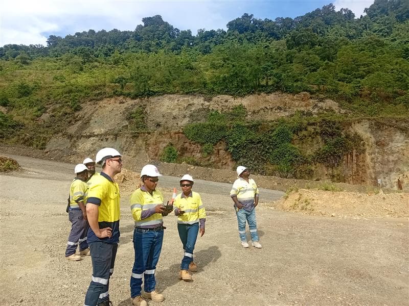
Australia-Wide Service
Teams in QLD, NSW, VIC, and WA — on-site anywhere in Australia within days, not weeks.
From One Site to a Thousand
Whether it's one rooftop or a thousand kilometres of pipeline, we deploy the right aircraft and crew to match the job. Our fleet scales with your program — no subcontractors, no compromises.
See Us in Action
Watch how National Drones delivers results across Australia
Learn to Fly Commercially
CASA-certified courses — online, in-person, and blended options from $199

Real Results from Real Projects
How our clients are using drones to save time, cut costs, and improve safety
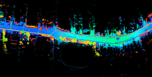
Bridging the Gap: Safer, Smarter Bridge Inspections for Aurecon & Snowy Hydro
National Drones conducted comprehensive bridge inspections for Aurecon and Snowy Hydro, capturing high-resolution LiDAR and photogrammetry data across 38 bridges in NSW and ACT.
Infrastructure Engineering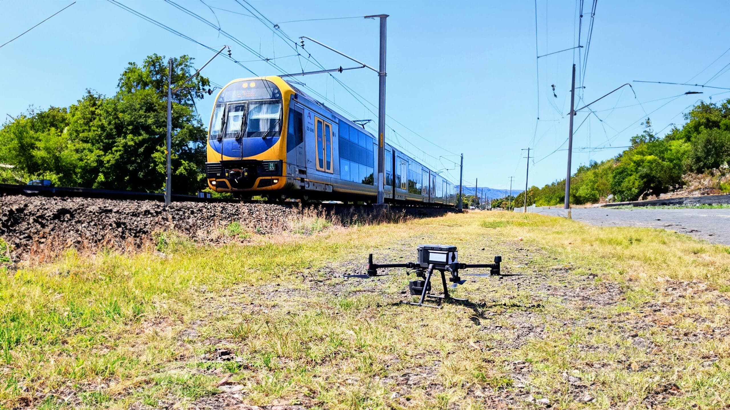
Precision from Above: Drone Inspections Elevate the Sydney Rail Network's Asset Safety and Integrity
National Drones and Aurecon inspected 3,818 rail assets across Sydney's network using drone photogrammetry and LiDAR, covering 438 kilometres of rail corridor.
Rail Infrastructure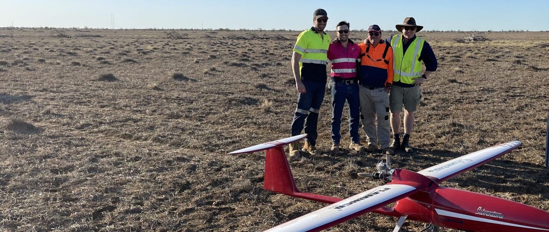
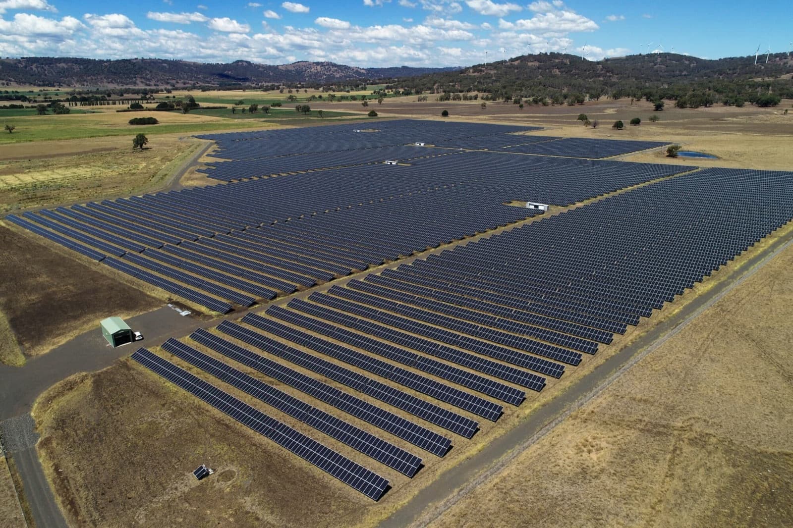
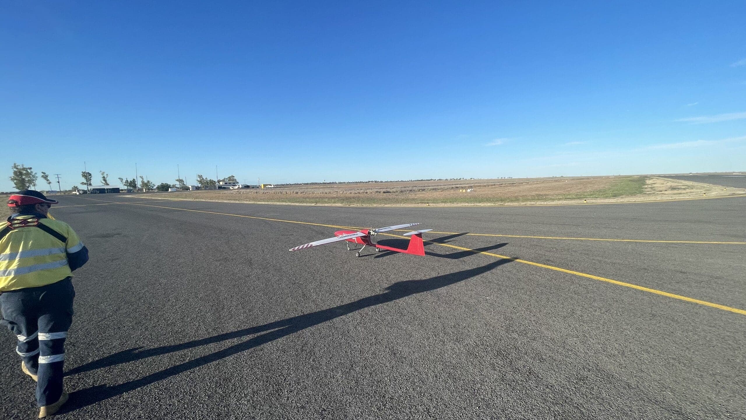
Mapping the Future: A Large Area Drone Survey Covering 250 km²
National Drones partnered with Silvertone and QEM to conduct an extensive BVLOS aerial survey spanning 250 square kilometres, creating detailed orthomosaic and digital elevation models.
Mining & Resource Exploration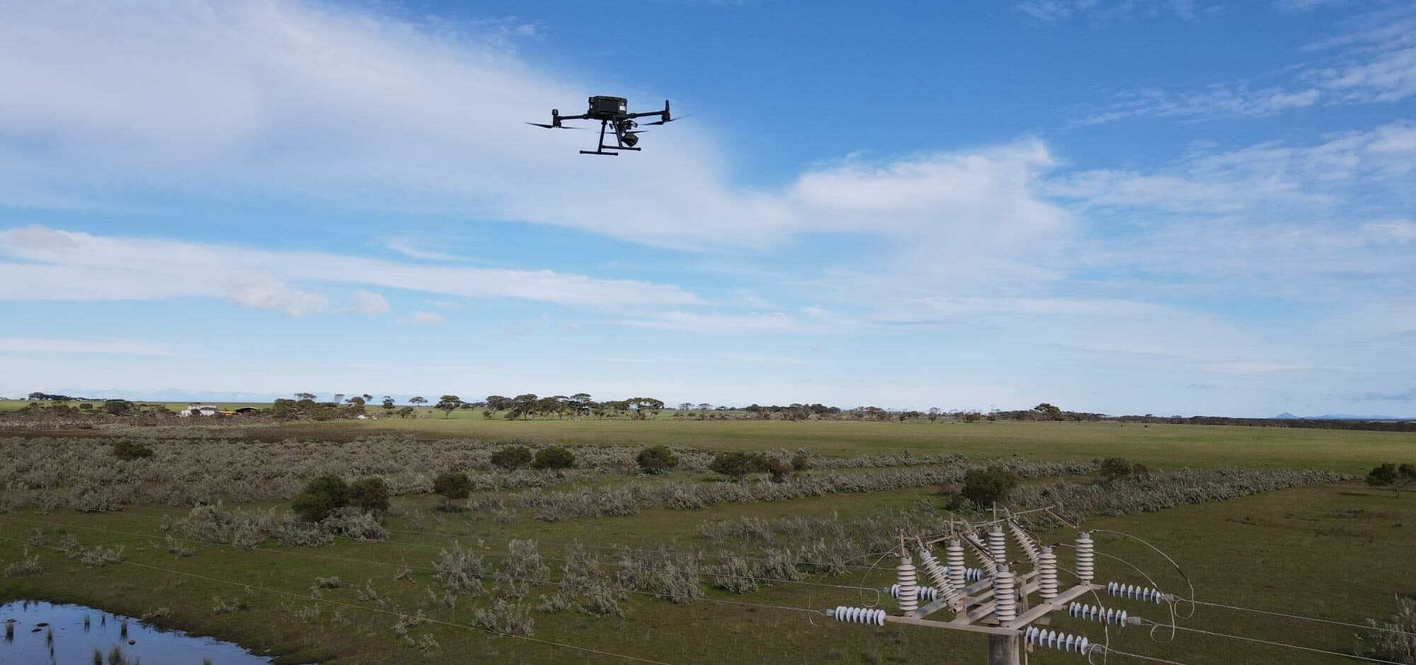
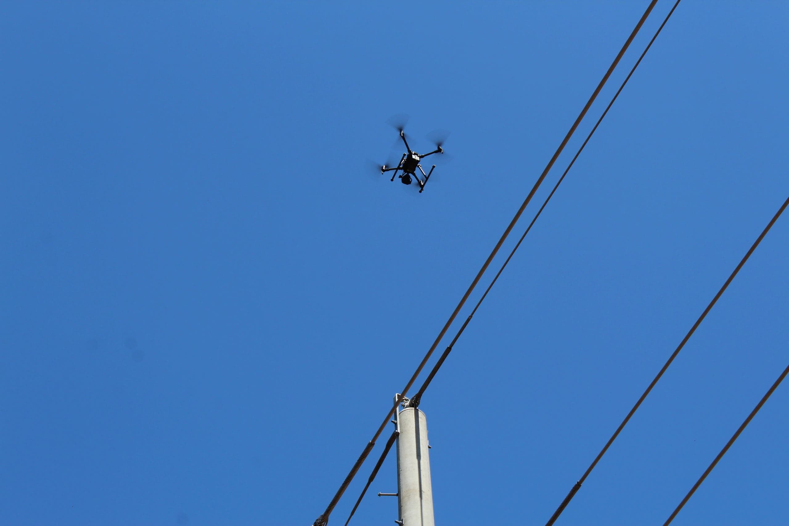
Powering Progress: A Case Study on Drone Inspections of 25,000 Power Poles
National Drones revolutionised utility sector inspection programs by conducting drone inspections of 25,000 distribution poles, improving safety and efficiency.
UtilitiesTrusted by Industry Leaders
Latest Insights
Industry insights and company updates
See What We Can Do for Your Industry
Get our free capabilities guide — case studies, equipment specs, and pricing for every service we offer. Delivered to your inbox in 60 seconds.
Ready to See What Drones Can Do?
Tell us about your project and we'll send you a tailored proposal — most quotes are turned around within 24 hours.
Need a project scoped? Talk to our drone operations team.