
Power Network Analysis
Identify vegetation encroachment threatening electricity infrastructure, measure power pole and tower lean angles, identify power line sag, and check conductor height.
High-precision laser scanning for accurate terrain modelling and infrastructure digitisation
Light detection and ranging (LiDAR) employs pulsed laser technology to measure distances. National Drones integrates this with drone hardware to produce precise 2D maps and scale-accurate 3D models. The technology generates millions of 3D points per second, combining to form rich three-dimensional representations of target objects or areas. Using Inertial Measurement Units (IMU) and GNSS receivers, each data point becomes georeferenced.
How it works
See how laser measurements become a 3D point cloud, and how ground checks help assess the survey results.
2 minutes 54 seconds · English captions
The sensor figures are manufacturer examples under specified test conditions. We agree equipment, coverage and accuracy requirements for your site.
How lidar works. Measuring the world with light.
Lidar means light detection and ranging. It fires a laser pulse and times how long it takes to bounce back.
Distance is the speed of light times that time, halved, because the pulse goes there and back.
It does that hundreds of thousands of times a second.
A distance alone isn't a map point. The system must also know which way the laser was pointing, and where the drone was.
The scanner measures range and angle. G N S S, with R T K or P P K, gives position. The I M U gives attitude.
On site, an R T K base station sends corrections for centimetre-level positioning.
Here's the clever part. The beam spreads as it travels, so one pulse can return from the canopy, a branch, and the ground.
Lidar finds the ground through gaps in the leaves. Photos can't.
Software classifies the points. Top returns make the surface model, the D S M. Ground points make the terrain model, the D T M.
Density is measured in points per square metre. Fly lower, slower, or with more overlap, and it goes up.
An R G B camera then colours each point.
Choose lidar for vegetation, power lines, low light and low texture. Choose photogrammetry for colour detail and lower cost.
Quick check. You need ground levels under thick bush. Which sensor?
Lidar. Its pulses reach the ground through the gaps.
That's why lidar maps mine stockpiles, forests, power line corridors, flood plains and construction sites.
On a corridor job, the route follows the terrain at a constant height above ground, so density stays even.
Before scanning, calibrate the I M U with the manoeuvres your manufacturer specifies.
Check the laser class. Many are Class 1, eye-safe.
Keep the boresight calibration current, and survey ground check points to prove your accuracy.
Recap. Time of flight gives distance. G N S S and I M U place each point. Multiple returns find the ground.
The original narration is accompanied by soft instrumental music.
The animation shows laser pulses leaving a drone, striking objects and returning. Distance equals the speed of light times the round-trip time, divided by two. A worked example uses a 667-nanosecond return for approximately 100 metres.
Illustrated DJI Zenmuse L2 examples show up to 240,000 points per second for a single return, up to five returns per pulse, and 5-centimetre horizontal and 4-centimetre vertical system accuracy at 150 metres. These figures are manufacturer examples under specified test conditions, not a promised project result.
A pulse reaches the canopy, a branch and ground through gaps. The point cloud separates surface points for a DSM from ground points for a DTM. Density and accuracy are different measures.
The short check asks which sensor can obtain ground observations under thick bush. The choices are a camera, LiDAR, or either. The animation selects LiDAR because pulses can reach the ground through gaps.
The corridor example follows the terrain. The final cards show time of flight, GNSS and IMU, multiple returns, and planning, calibration and independent ground checks.
Unlike aerial photogrammetry, LiDAR penetrates dense vegetation, enabling accurate Digital Terrain Models (DTM) for areas partially or fully covered by trees. Ground-level readings become possible where traditional survey methods struggle, making it essential for forestry, environmental, and infrastructure projects.
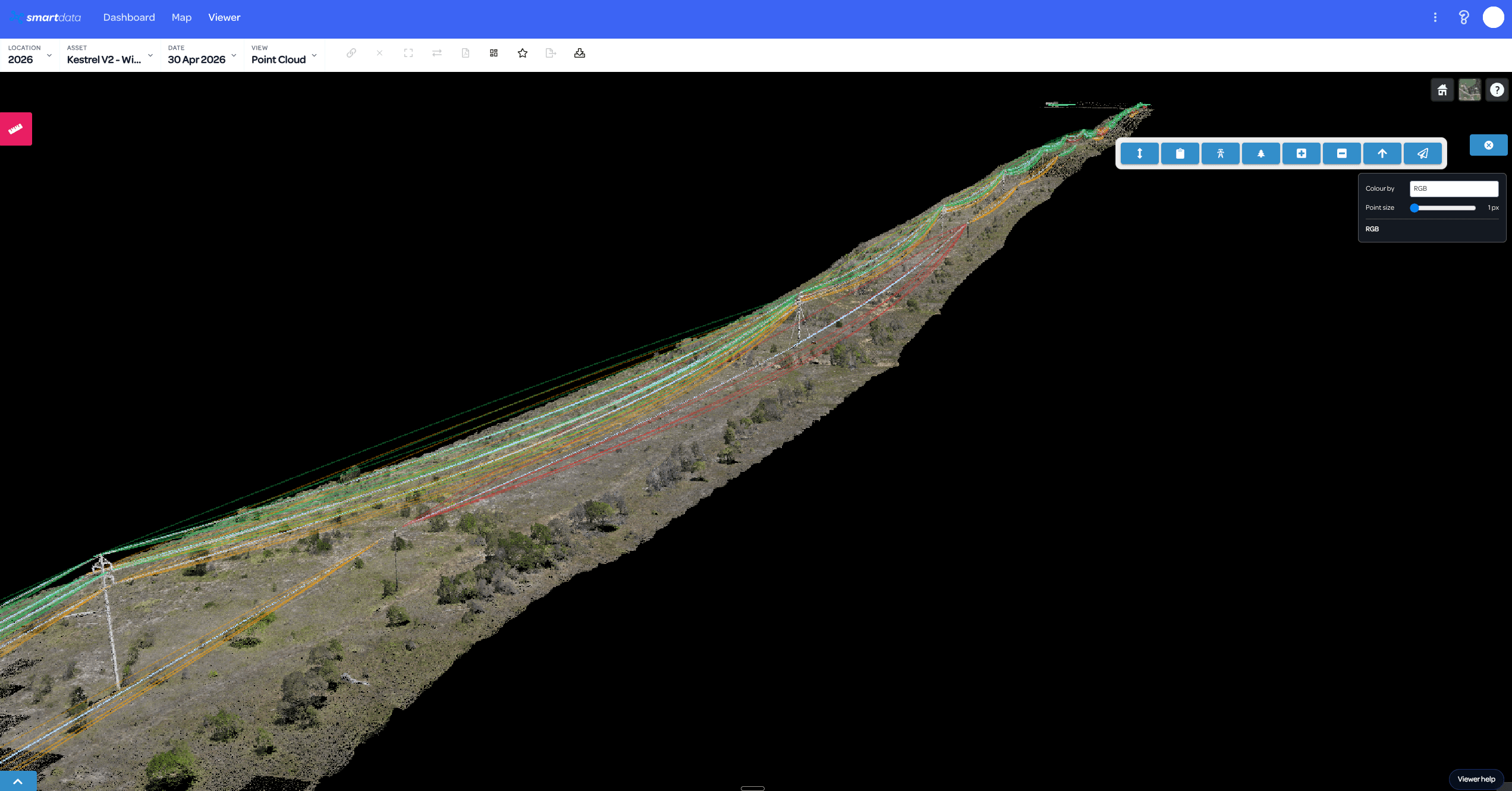
Point cloud data maps entire cities, assesses infrastructure, and verifies tolerances between planned and as-built construction drawings. Data streams through a browser-accessible cloud platform, eliminating on-site infrastructure needs and enabling stakeholder sharing across your organisation.
Power network analytics
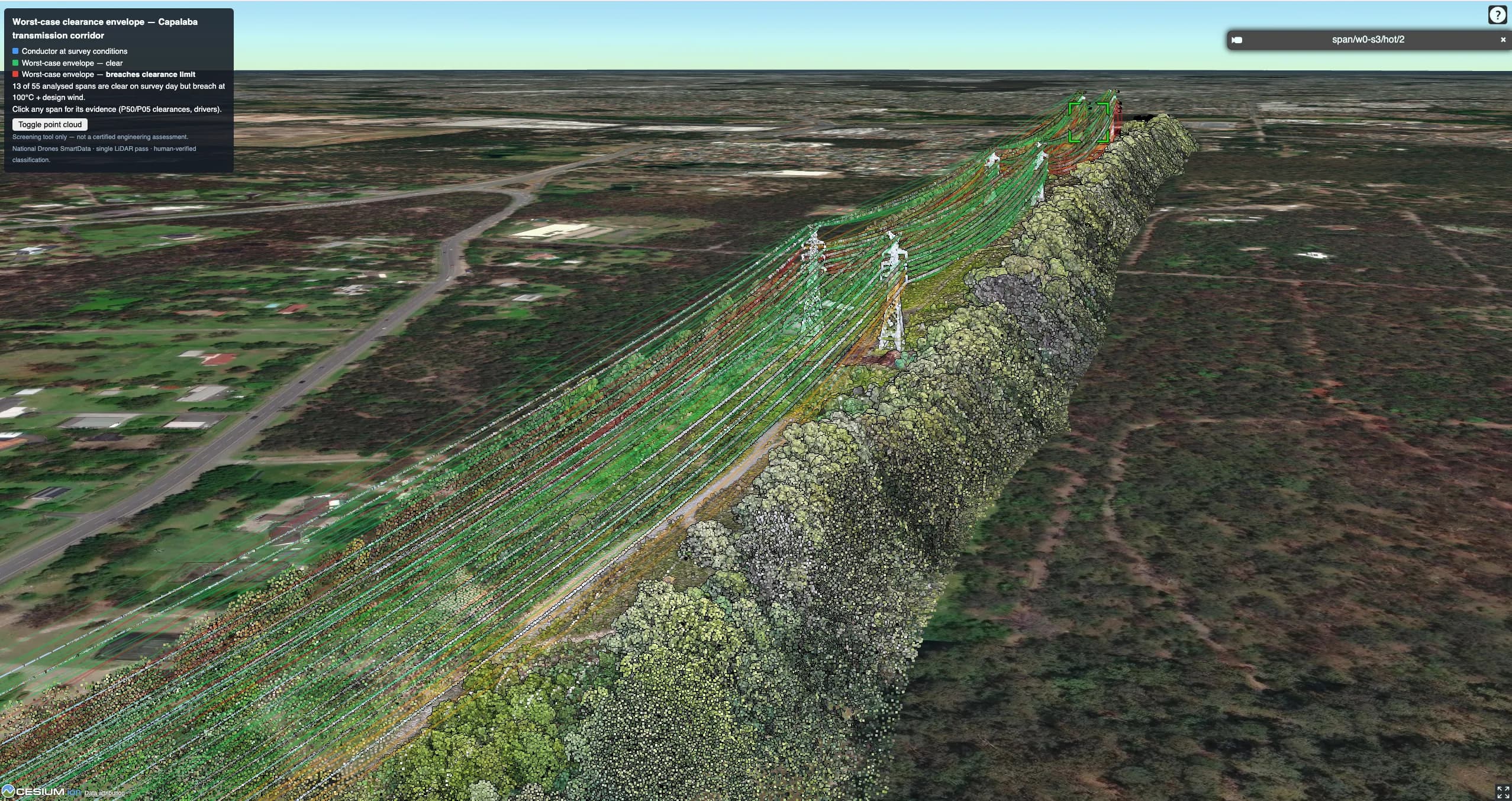
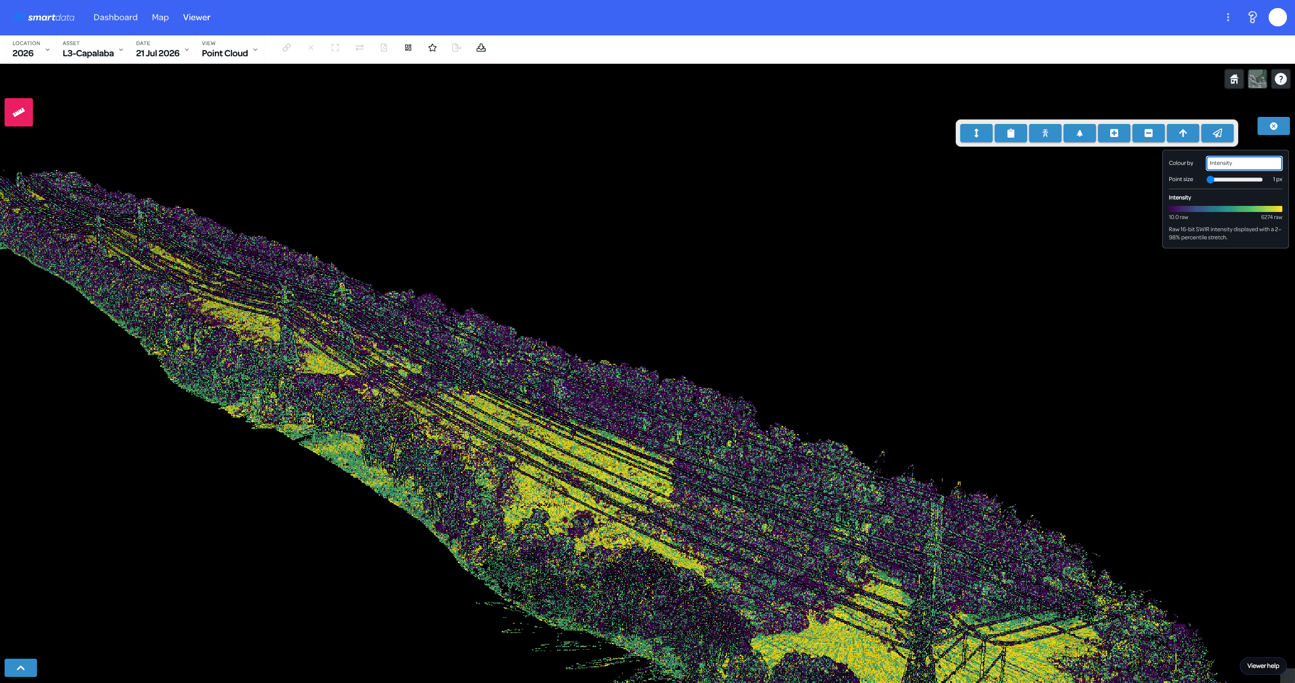
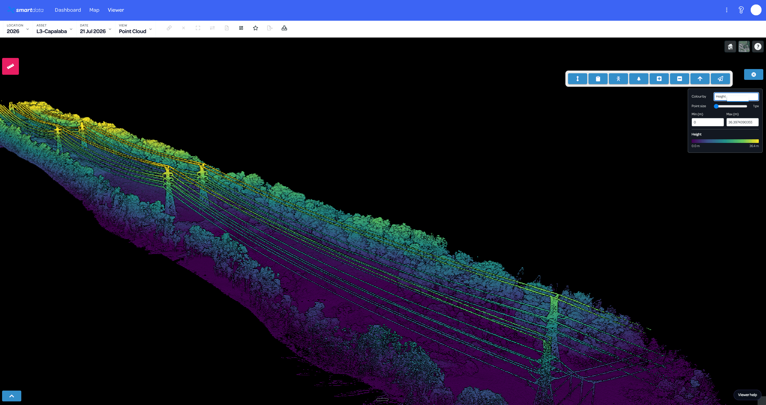
National Drones can capture or ingest a suitable powerline LiDAR corridor, process and classify the point cloud, then deliver reviewable network and vegetation evidence in SmartData. A scoped engagement can include pole locations and lean, conductor geometry, height context, vegetation classification and fuel-screening indicators.
Scope a powerline LiDAR corridor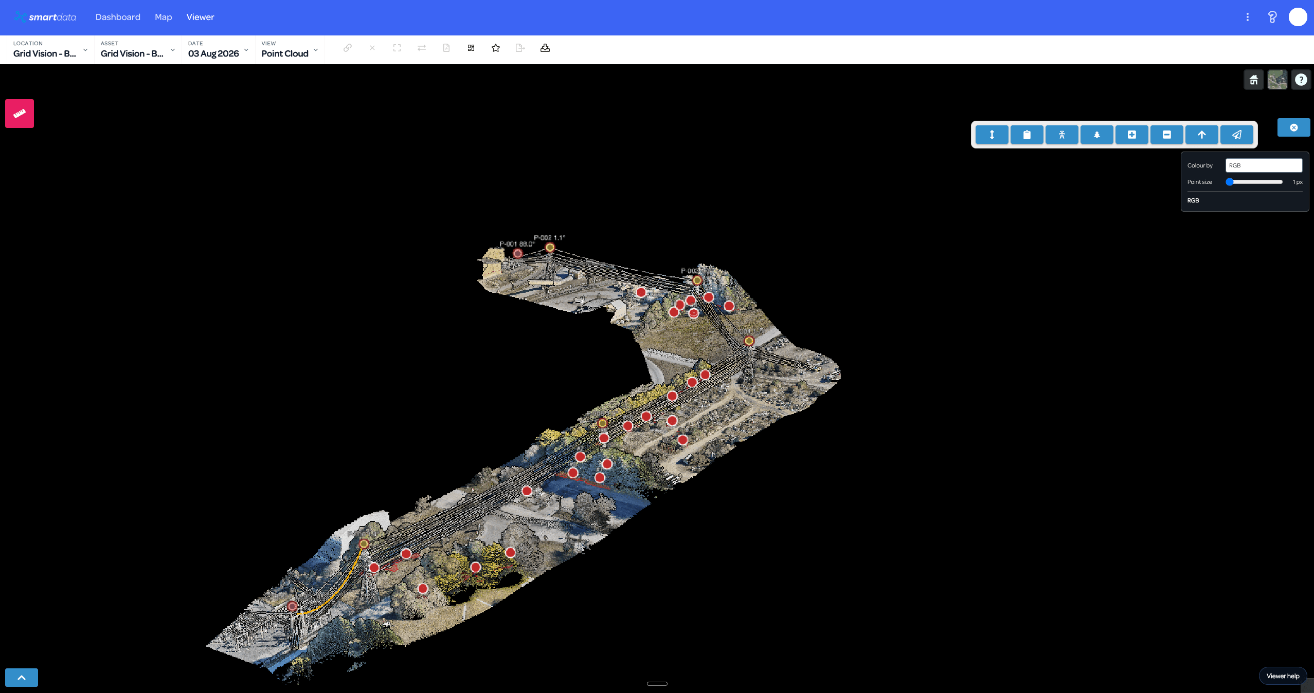
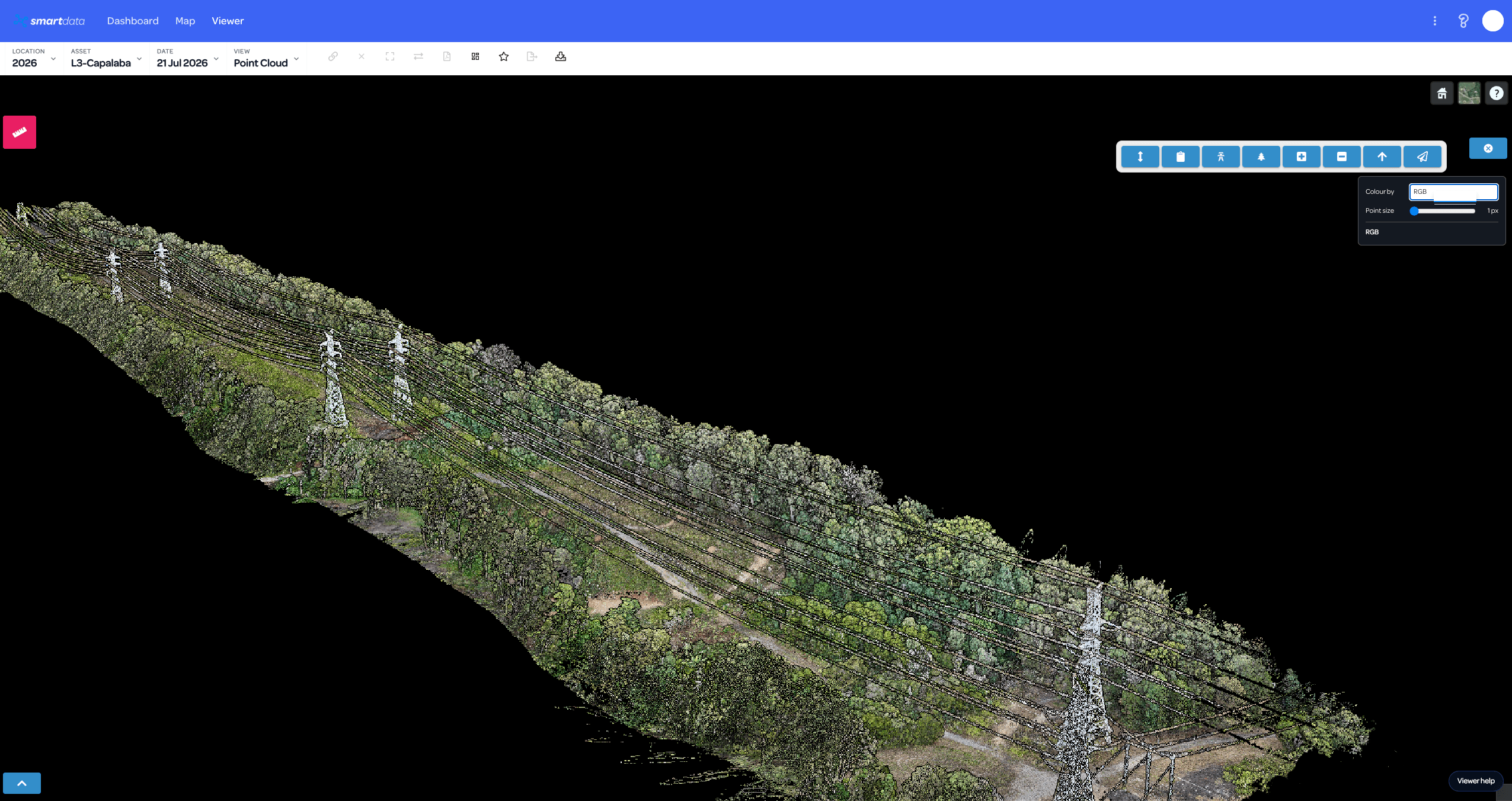
Pole locations and lean in the source corridor
Detected structures, lean labels, conductor geometry and screening markers remain connected to the original RGB point cloud for visual review.
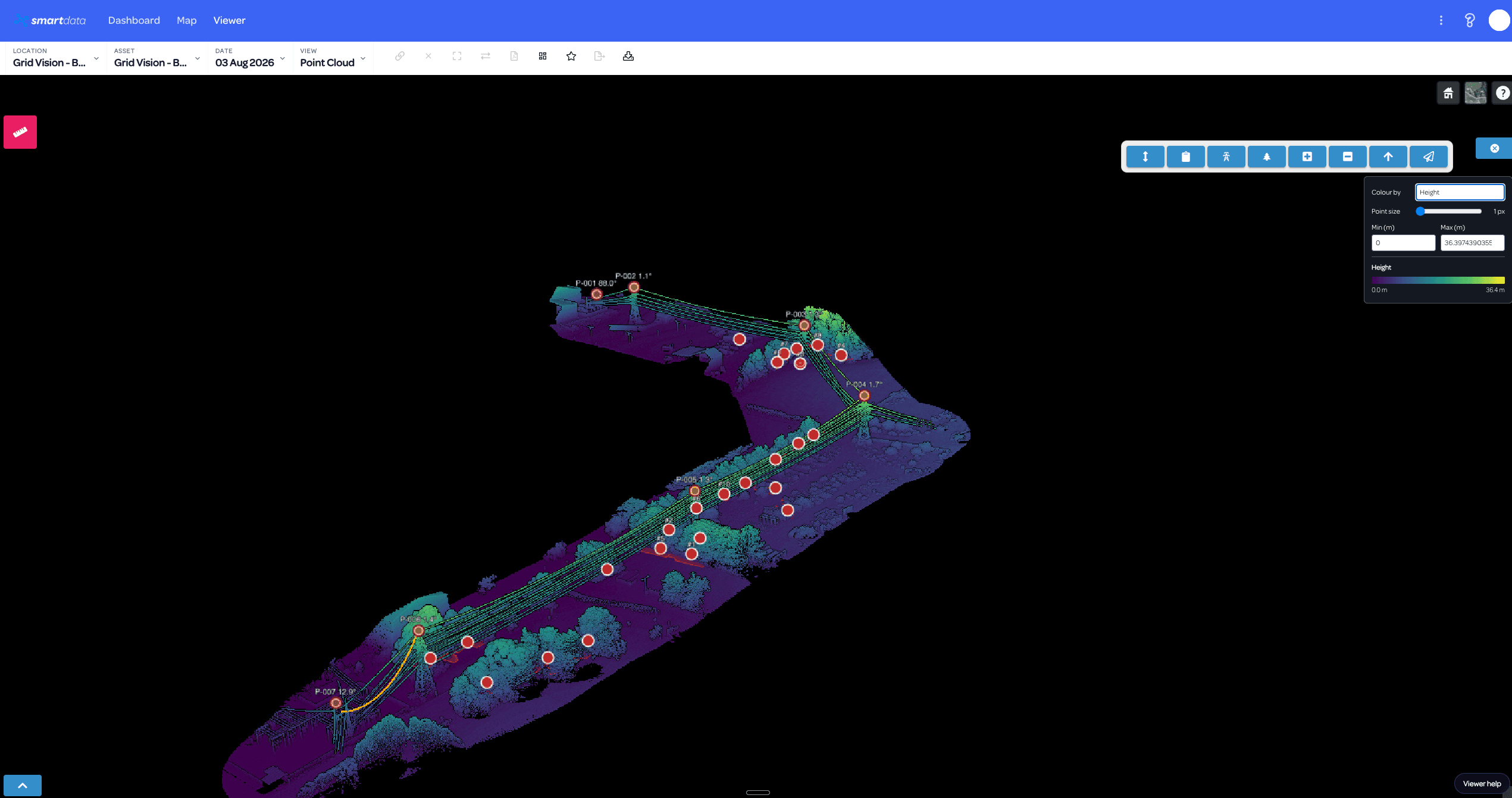
Height context for terrain and vegetation
Colour-by-height makes the relationship between structures, conductors, terrain and surrounding vegetation easier to inspect.
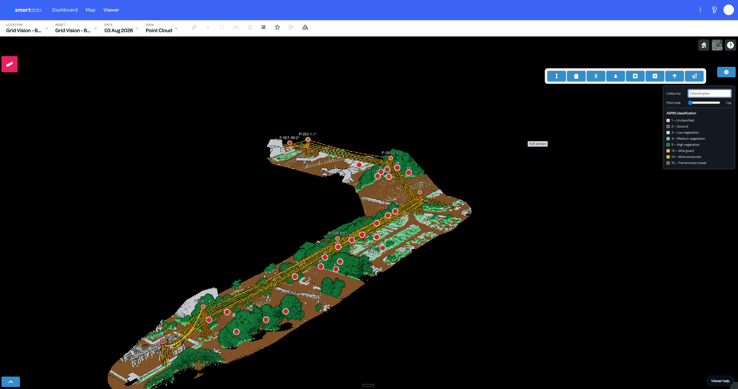
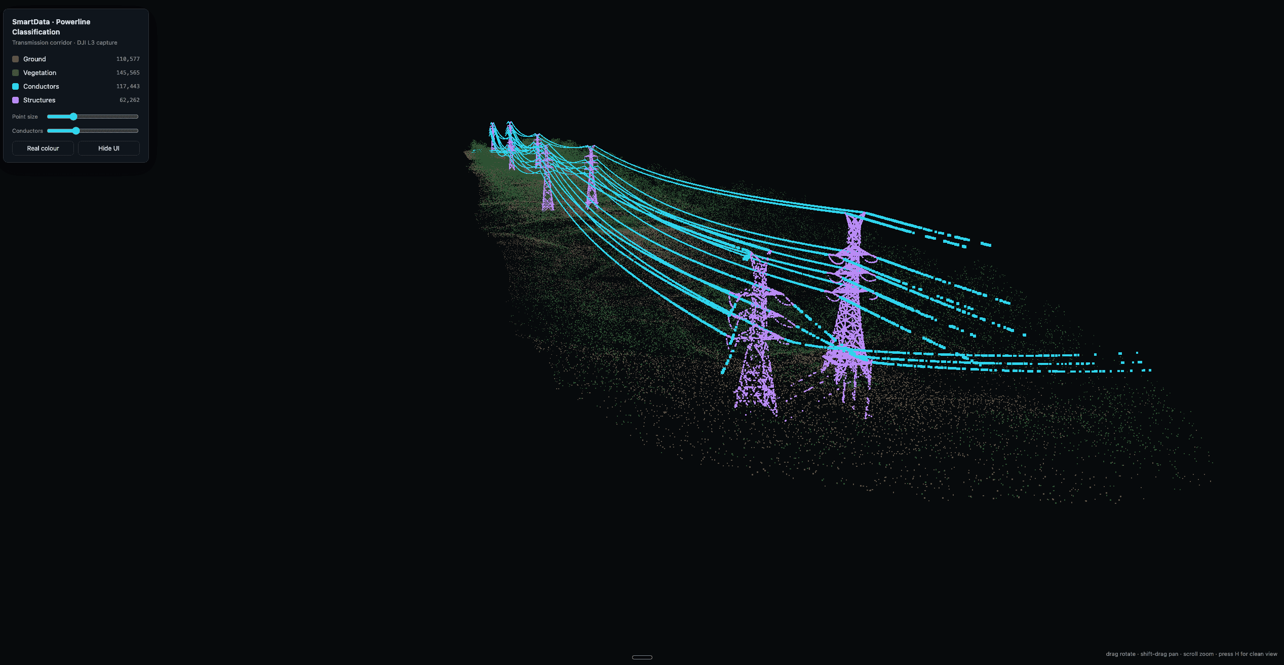
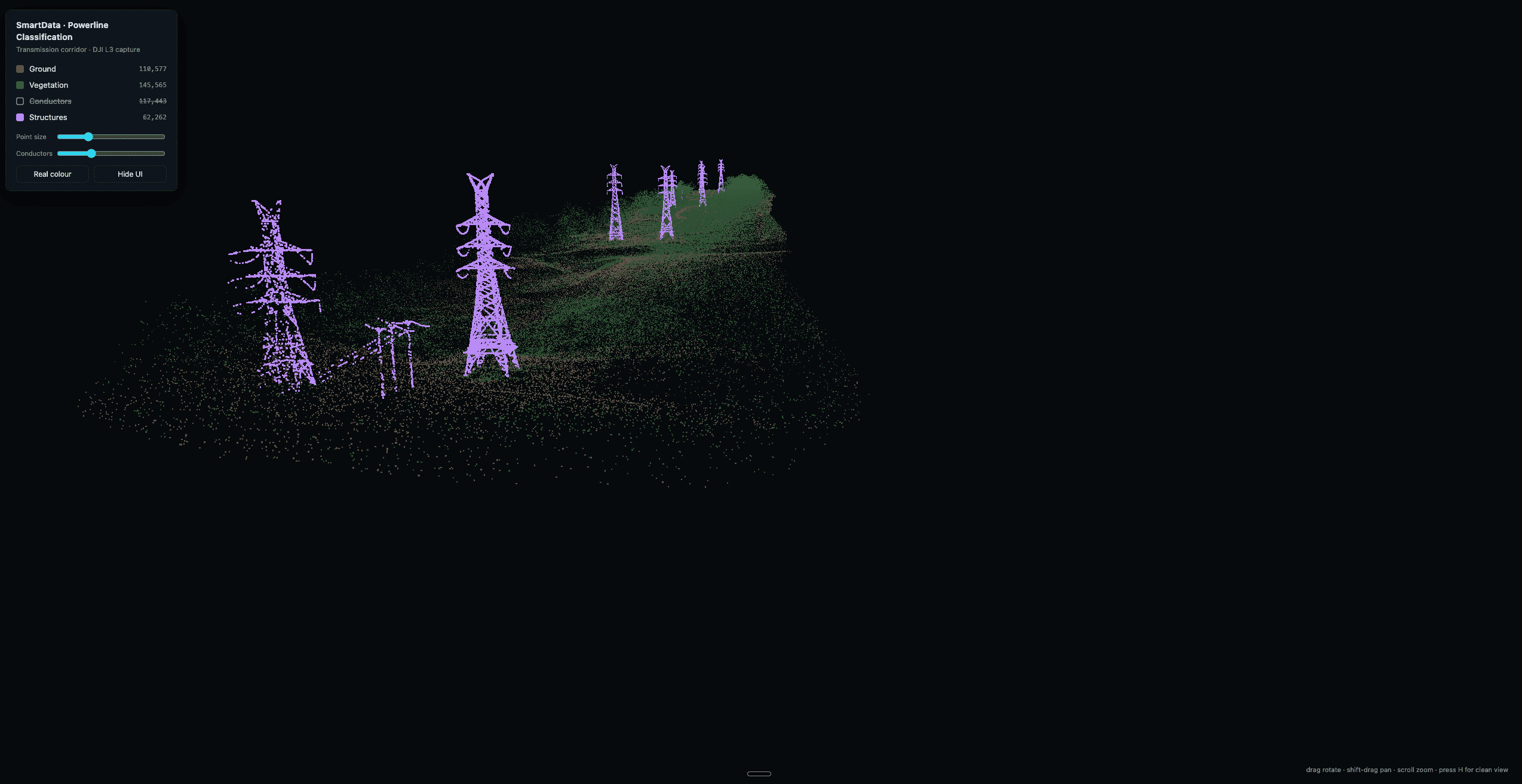
Ground, vegetation, conductors and structures separated
Classification turns the source point cloud into usable network layers for corridor review and downstream analytics.
Identify vegetation encroachment threatening electricity infrastructure, measure power pole and tower lean angles, identify power line sag, and check conductor height.
Unlike photogrammetry, LiDAR captures data in low or no-light conditions. The system mounts to either drones for wide-area coverage or vehicles for corridor scanning.
Produce accurate DTMs for areas covered by vegetation where traditional aerial photography cannot reach the ground surface.
Vehicle-mounted LiDAR for roads, rail corridors, and linear infrastructure with continuous high-resolution data capture.
Verify tolerances between planned and as-built construction drawings with millimetre-precision point cloud data.
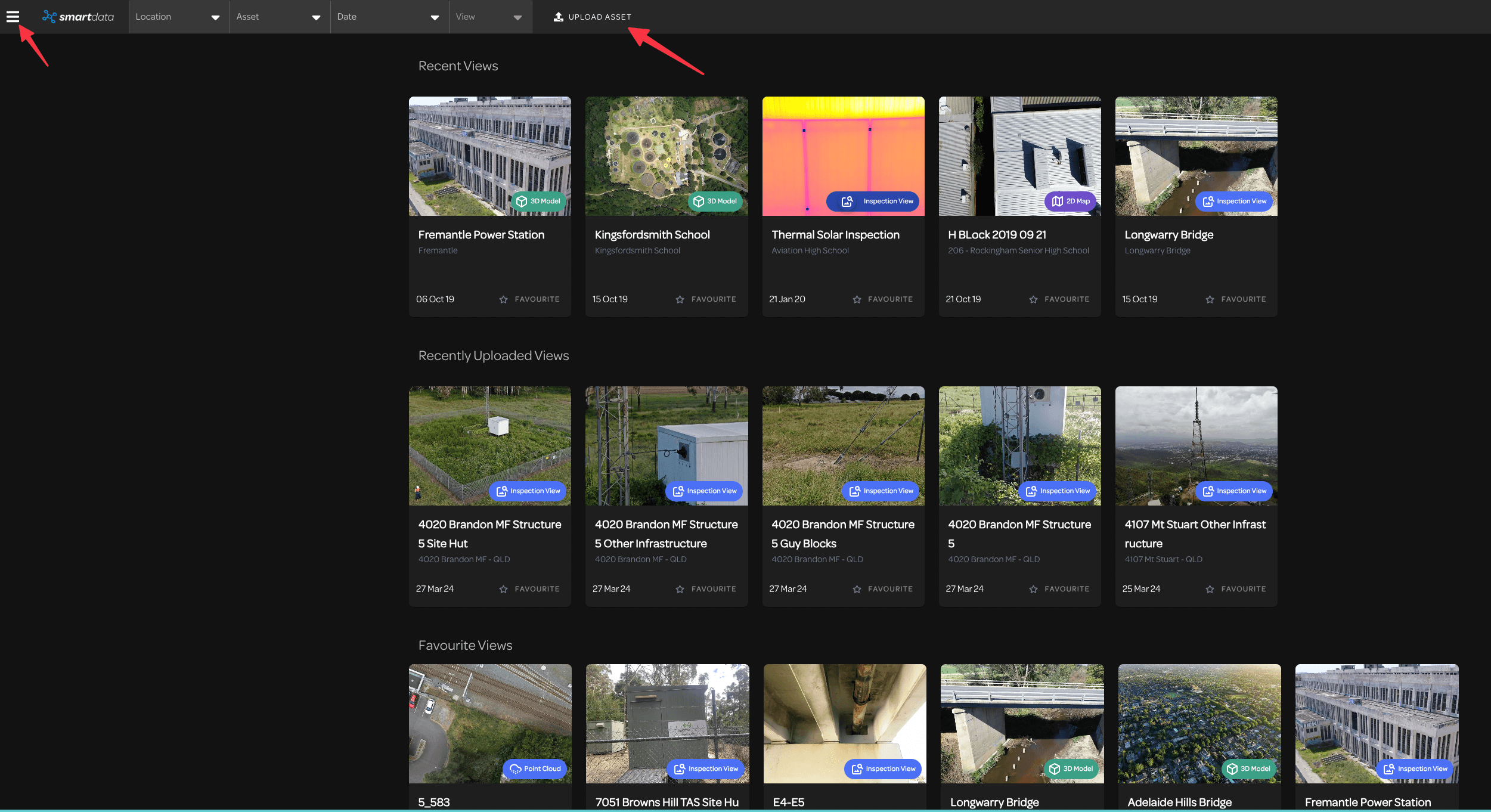
Data streams through a browser-accessible cloud platform, eliminating on-site infrastructure needs and enabling remote stakeholder access.
Define coverage, accuracy checks and deliverables before comparing quotes.
Read the LiDAR survey cost guideSee how we have delivered for clients across Australia.
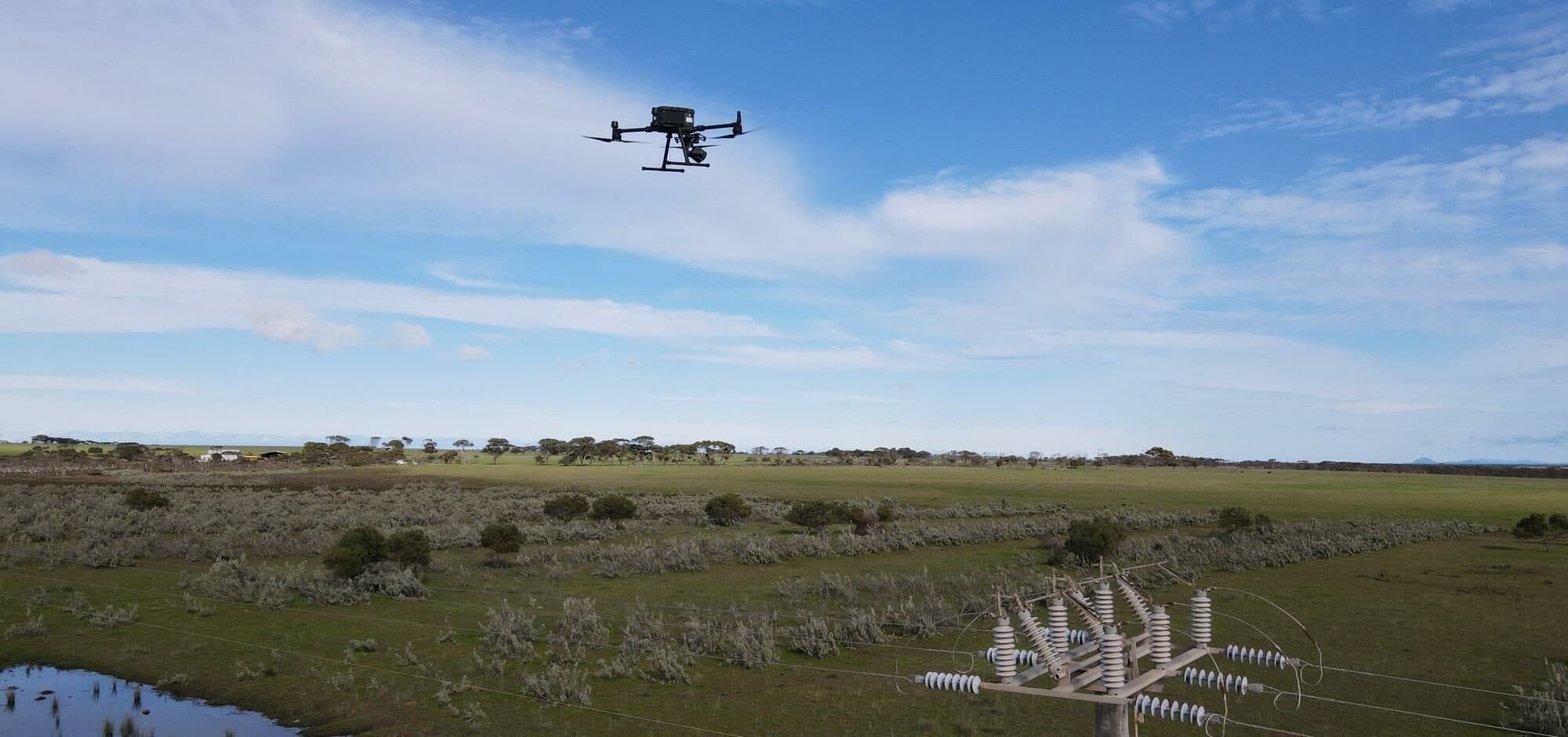
Critical Infrastructure
Confidential Facilities Management Provider
A facilities management provider used LiDAR, RGB and thermal inspection data to improve power pole condition review and vegetation maintenance planning across multiple sites.
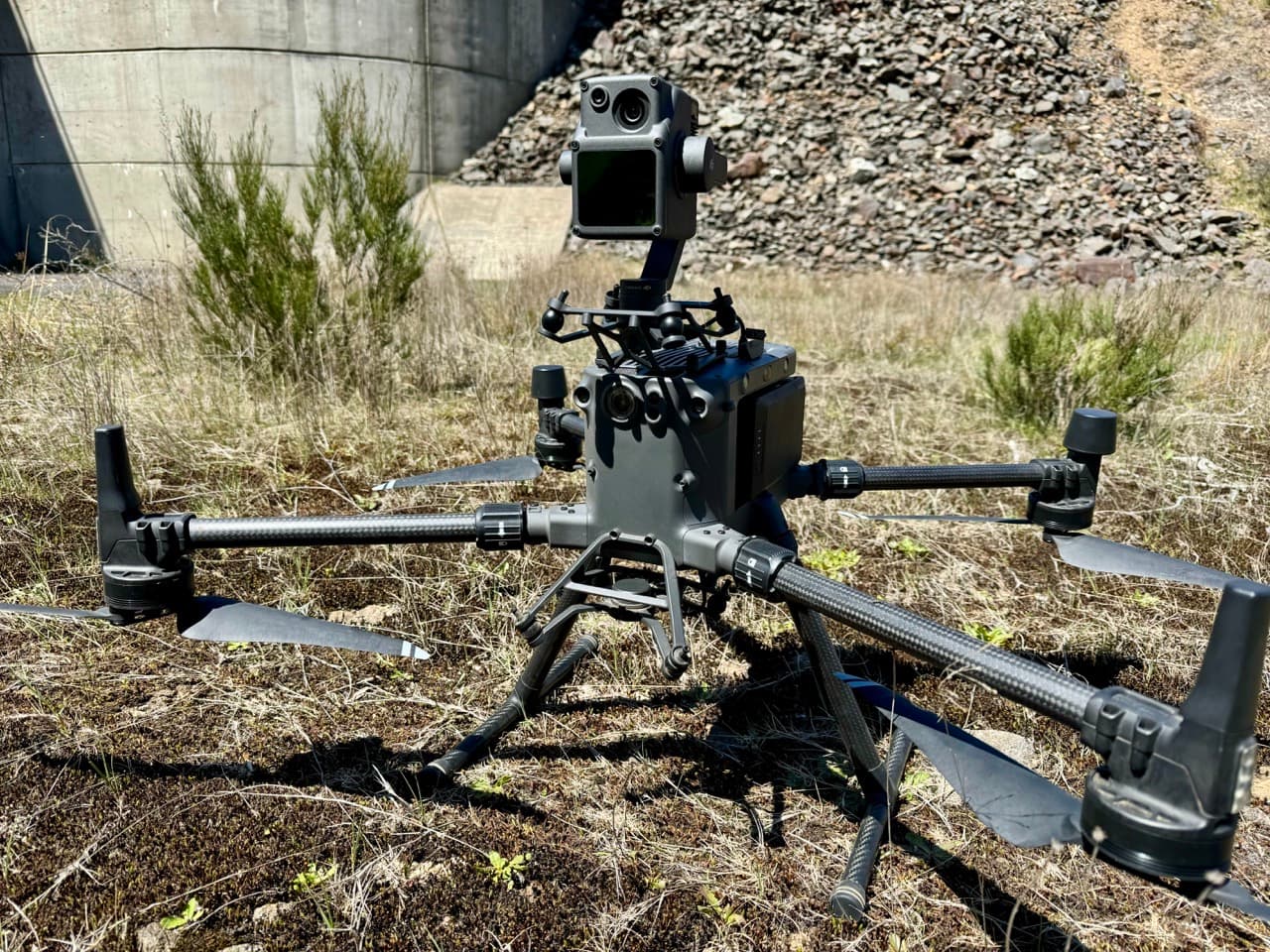
Infrastructure Engineering
Aurecon & Snowy Hydro
National Drones conducted comprehensive bridge inspections for Aurecon and Snowy Hydro, capturing high-resolution LiDAR and photogrammetry data across 38 bridges in NSW and ACT.
Rail Infrastructure
Aurecon (on behalf of Sydney Trains)
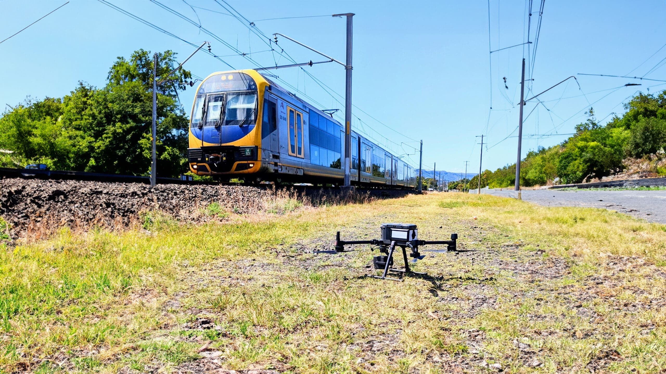
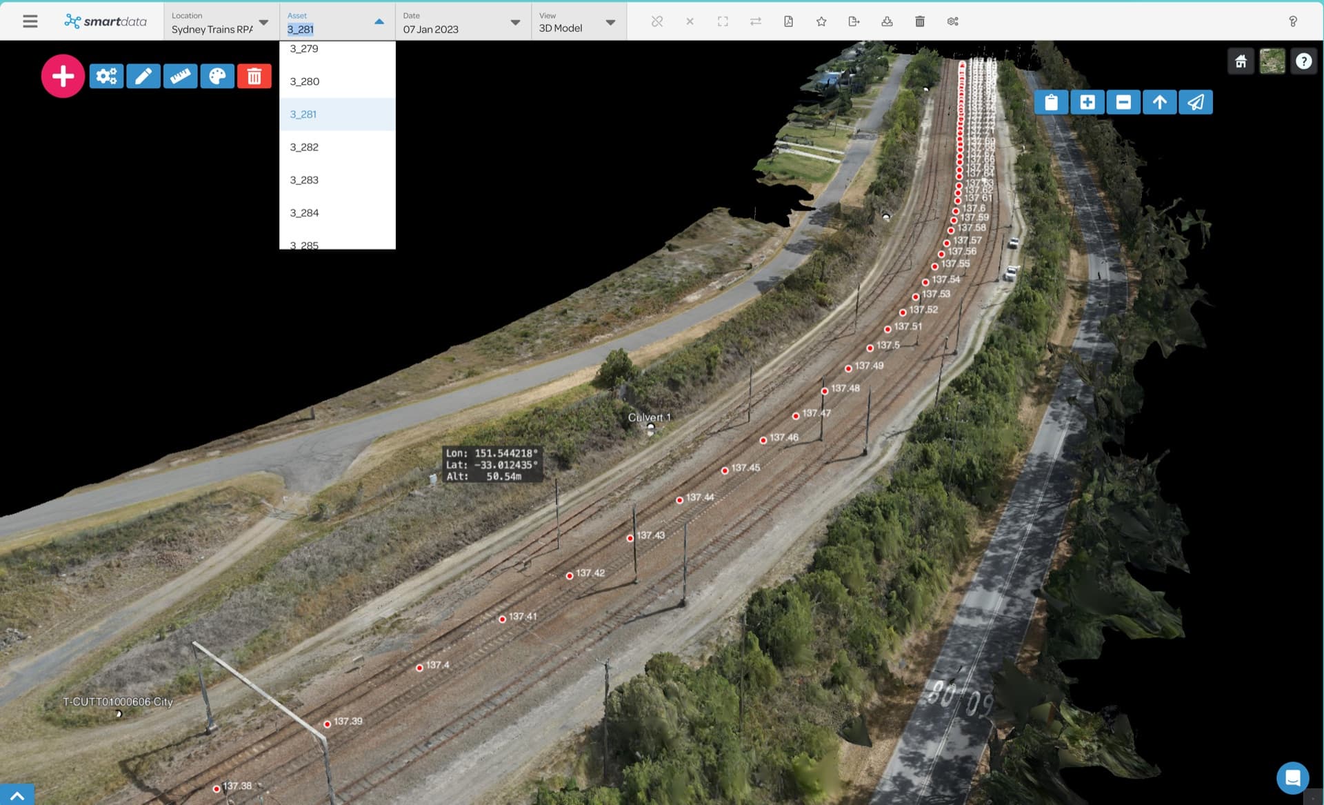
National Drones and Aurecon inspected 3,818 rail assets across Sydney's network using drone photogrammetry and LiDAR, covering 438 kilometres of rail corridor.
Tell us about your project and we'll send you a tailored proposal — most quotes are turned around within 24 hours.