
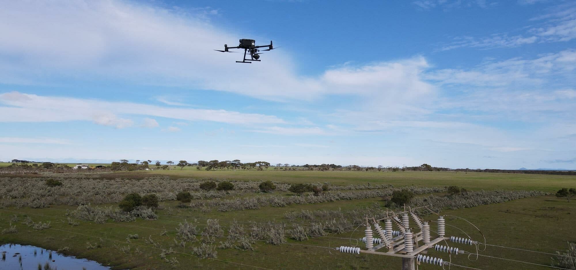
Multi-Site Power Pole and Vegetation Encroachment Assessment
The hero image is representative. The thermal frame below is an actual project image with location metadata withheld.
Overview
A national facilities management provider needed a consistent way to inspect power poles and assess vegetation encroachment across a distributed portfolio of controlled sites.
National Drones combined power pole drone inspection, mobile LiDAR capture, RGB photography and thermal imaging to create an evidence base for condition assessment and vegetation maintenance planning. The project records cover an initial three-site trial and a later delivery package spanning 14 locations.
The Challenge
Power poles are difficult to assess consistently from ground level. Pole-top components can be hard to see, vegetation can obstruct assets, and inspection teams may need to work near energised infrastructure or in areas with controlled access.
The client also needed more than photographs. Each issue had to be connected to a pole identifier and location, assigned a response priority and translated into a practical maintenance recommendation.
The Integrated Inspection Solution
National Drones used complementary sensors and data products for two different maintenance questions:
- RGB drone imagery provided close visual evidence of pole-top assets and visible condition
- Thermal imagery supported review of potential heat-related anomalies in electrical components
- Mobile LiDAR created three-dimensional evidence of vegetation and its proximity to electrical assets
- KML and KMZ files connected findings to mapped locations
- Pole identifiers and inspection records created a traceable asset-level register
- SmartData delivery provided a central place to review inspection information
Vegetation was classified against the nominated tree-management criteria. Reports assigned response priorities and included recommended actions so the client could move from raw capture to a planned maintenance response.
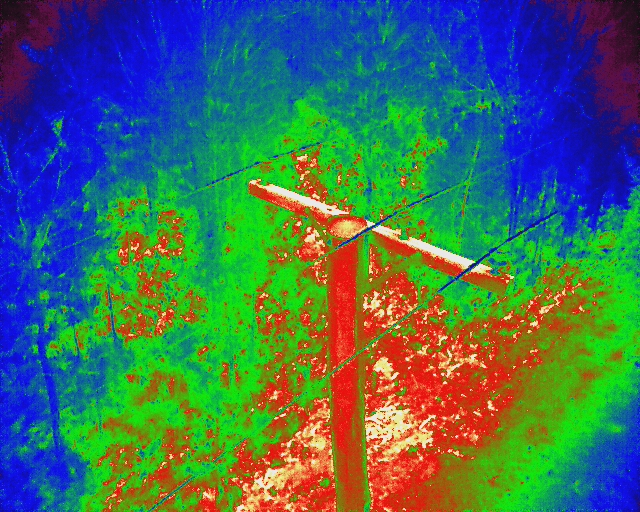
Thermal frame from the multi-site power pole inspection program. Location details and embedded metadata have been withheld. The image documents the capture method and is not presented as a confirmed electrical fault.
Turning LiDAR Into Vegetation Maintenance Priorities
LiDAR records the three-dimensional relationship between poles, conductors, terrain and surrounding vegetation. This makes it well suited to vegetation encroachment assessment, where a two-dimensional photograph may not show clearance clearly.
In one reviewed site report, the analysis identified six Priority 1 vegetation actions with a recommendation to remove the vegetation. The report linked each action to mapped coordinates and pole information, giving the maintenance team a clear, auditable work list.
The Result
The program produced a structured inspection package across multiple sites rather than a collection of disconnected images. Deliverables included asset imagery, LiDAR data, mapped files, pole records, response priorities and recommended actions.
The combined approach provided four practical benefits:
- Improved visibility: pole-top components and surrounding vegetation could be reviewed from the office
- Maintenance prioritisation: urgent vegetation actions were separated from lower-priority findings
- Reduced field exposure: aerial and mobile capture reduced the need for repeated close-access inspection
- Consistent evidence: standardised records supported comparison across a distributed site portfolio
For asset owners and facilities managers, combining drone powerline inspection with LiDAR drone inspection creates a clearer path from capture to maintenance action. Teams can review the resulting imagery, maps and findings in the SmartData inspection viewer.
For a large distribution-network example, see the 25,000 power pole inspection case study.
Planning a Multi-Site Asset Inspection?
National Drones delivers power pole imagery, thermal inspection and LiDAR vegetation assessment programs across Australia. Talk to our team about your inspection requirements.