
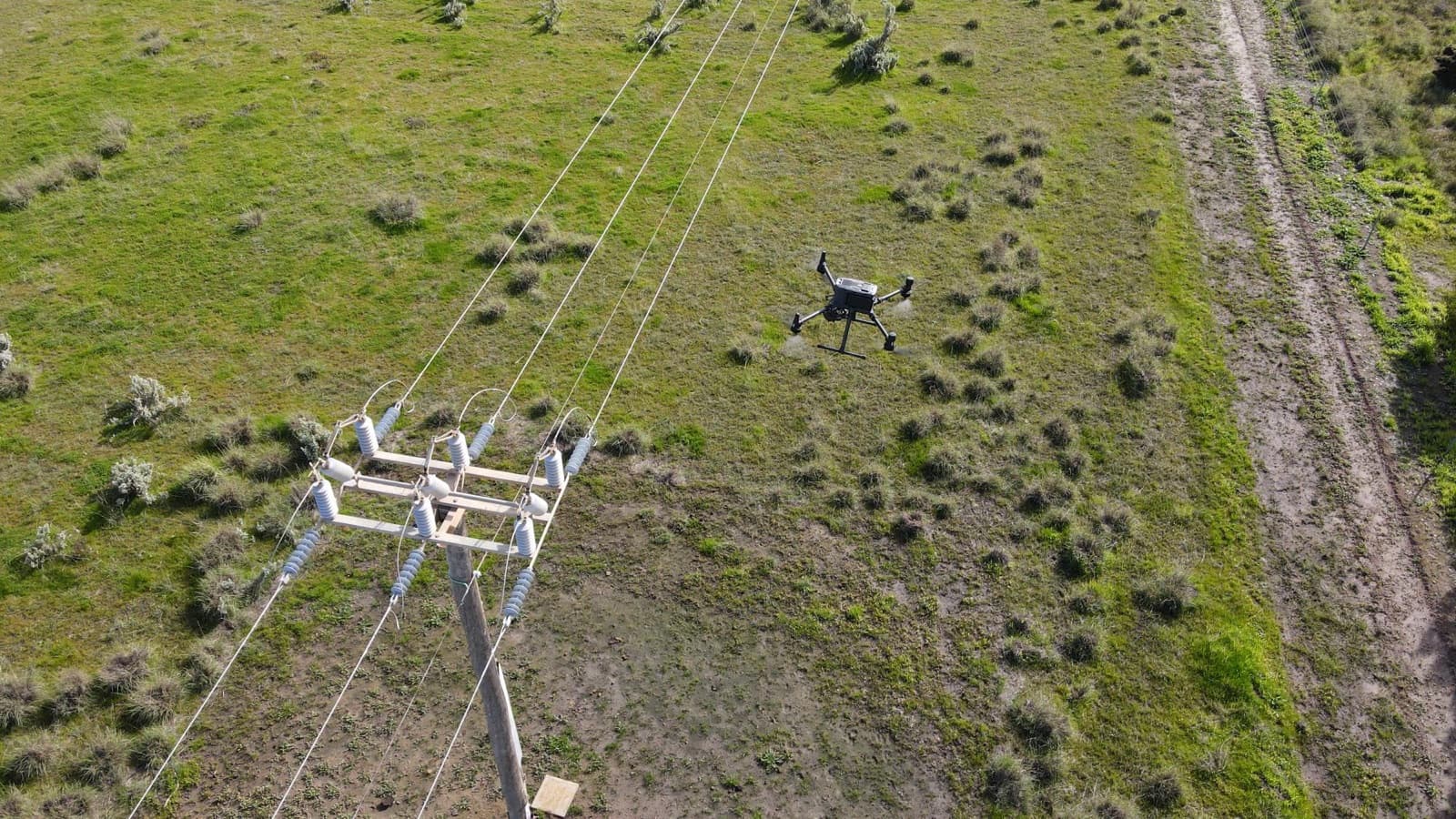
Start with the decision, not the drone. Do you need to identify a maintenance issue, compare an asset over time, or give an engineer evidence to review? The answer determines what you should buy.
A quote for a folder of photographs is not the same as a quote for an asset register with reviewed findings. Both may involve a similar flight, but the work after landing can be very different.
This guide explains how to compare scope and avoid paying for data your team cannot use. It does not set a national price list: site-specific quotes are more reliable than unsupported dollar ranges.
Need a quote for your site? Send the asset count, location and reporting requirements. Discuss your inspection scope.
What are you actually buying?
Separate capture, processing and review. Confirm who performs each part and what your team receives.
| Inspection need | Specify in the quote | Check before booking |
|---|---|---|
| Visual condition review | RGB photographs, required views, asset identifiers and a findings register | Which surfaces will be visible, and which will not? |
| Thermal investigation | Thermal files, matching RGB images, capture conditions and interpretation | Is specialist review included, or is this capture only? |
| Clearance or geometry assessment | LiDAR or photogrammetry, coordinate requirements and defined measurements | How will accuracy and coverage be checked? |
| Repeat inspection | Comparable asset IDs, viewpoints and delivery structure | Can your team compare this inspection with the previous one? |
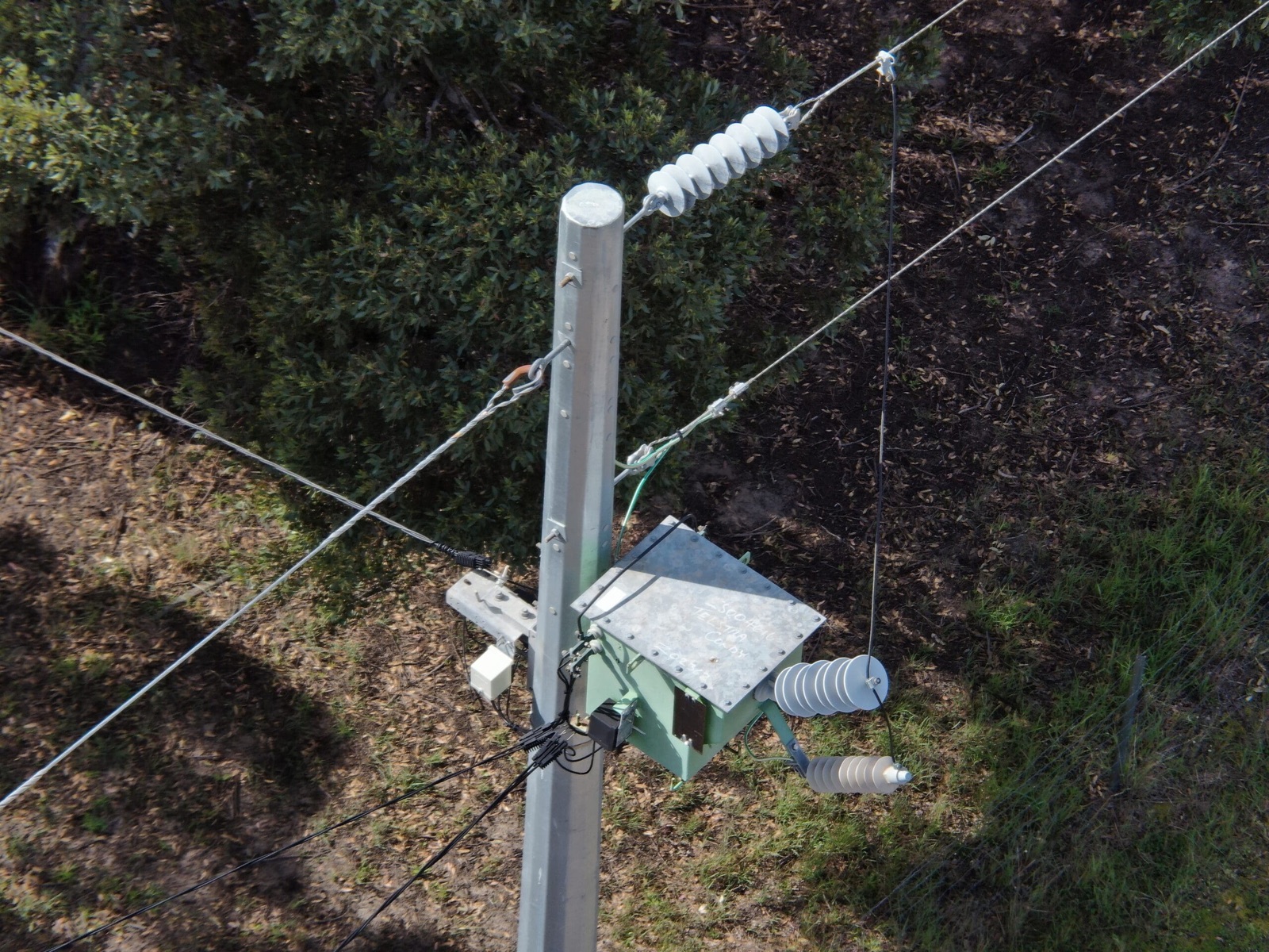
A useful inspection image shows the component your reviewer needs to assess. Agree the asset views before capture, not after the files arrive.
The six things that move the price
1. Asset count and site layout
One accessible building is different from a dispersed network of poles. Travel between assets, setup locations and site boundaries can matter as much as the number of photographs. Supply an asset list and a map when requesting a quote.
2. Access and flight constraints
Controlled sites, inductions, nearby people, airspace constraints and coordination with other work can add planning time. Drone capture does not remove the need for safe access or required permissions. Ask who is responsible for site access and operational approvals.
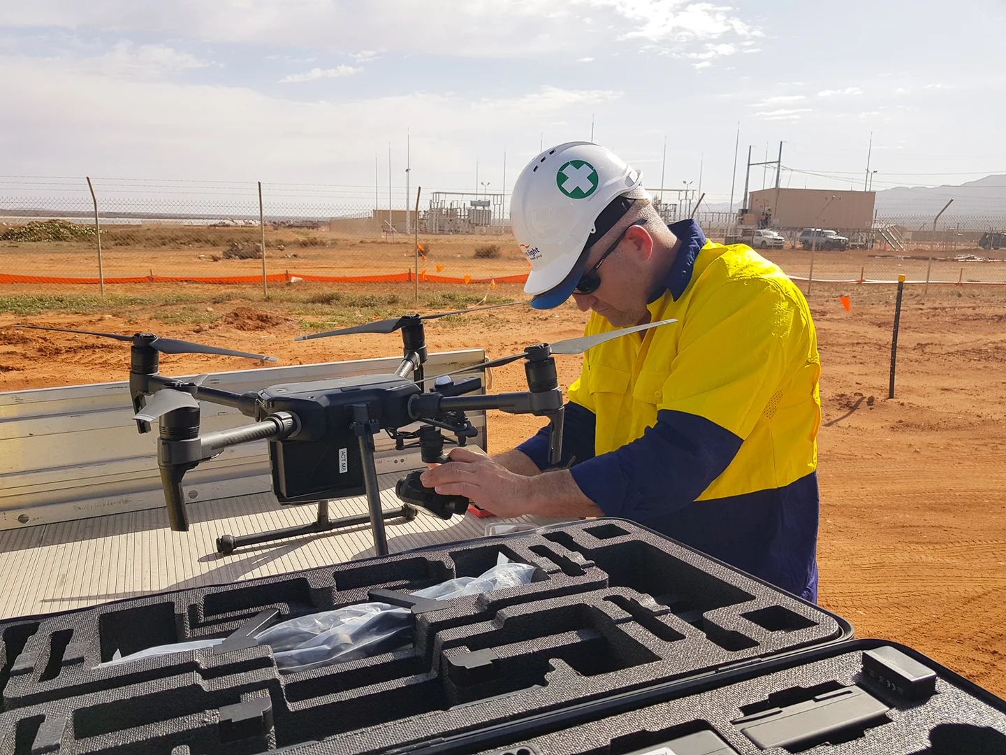
Preparation is part of the scope, not just the flight. Allow for equipment checks, safe setup and site coordination. Archive example; no named project or customer is implied.
3. The sensor and capture specification
RGB, thermal and LiDAR answer different questions. Thermal imagery can show temperature patterns; it does not, by itself, establish the cause of a fault. LiDAR records geometry, but it is not a substitute for detailed visual evidence of every surface defect.
For terrain, vegetation or clearance work, use the separate LiDAR survey cost guide to define the data requirements.
4. Processing and quality checks
An organised dataset, a 3D model and a reviewed report require different processing effort. Specify the delivery formats, coordinate system where relevant, quality checks and turnaround. Ask what happens if the agreed coverage is incomplete.
5. Reporting and professional review
Who turns the evidence into a decision? A capture operator, an asset inspector and an engineer may have different responsibilities. A photograph is not a structural certification. Define the required reviewer and sign-off separately.
6. Mobilisation, weather and repeat visits
Travel, accommodation, weather delays and site readiness can affect the total. Check the quote's assumptions, cancellation terms and revisit charges. For repeat work, ask whether grouping nearby assets changes mobilisation costs.
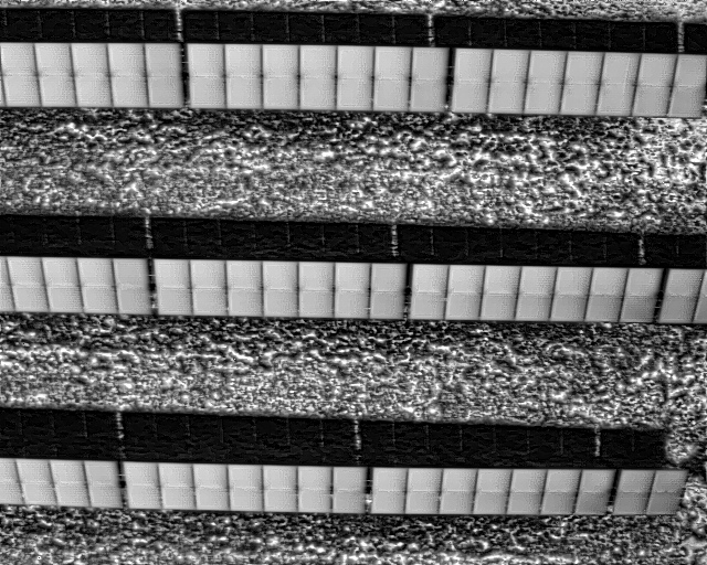
Thermal capture from the New England Solar Farm inspection. Capture conditions and interpretation belong in the scope; this frame alone is not a fault diagnosis.
Compare two quotes without comparing the wrong work
Consider an illustrative roof inspection brief. Quote A supplies aerial photographs. Quote B also maps each finding to a roof zone, includes annotated evidence and records areas that could not be inspected. A lower price for A does not prove better value if your maintenance team needs B's report.
Ask both providers to price the same brief:
- Coverage: buildings, assets and required views, with known exclusions.
- Evidence: image resolution, thermal files or spatial data appropriate to the task.
- Review: who assesses the evidence and what qualifications or client criteria apply.
- Delivery: file formats, report structure, access period and download rights.
- Commercial terms: travel, GST, approvals, turnaround and revisit conditions.
For the reporting part, use our commercial drone inspection report checklist.
What changes when your team can review the data?
An inspection should not end with a link to an unlabelled folder. Asset IDs and location context help reviewers return to the source image, discuss a finding and plan the next action.
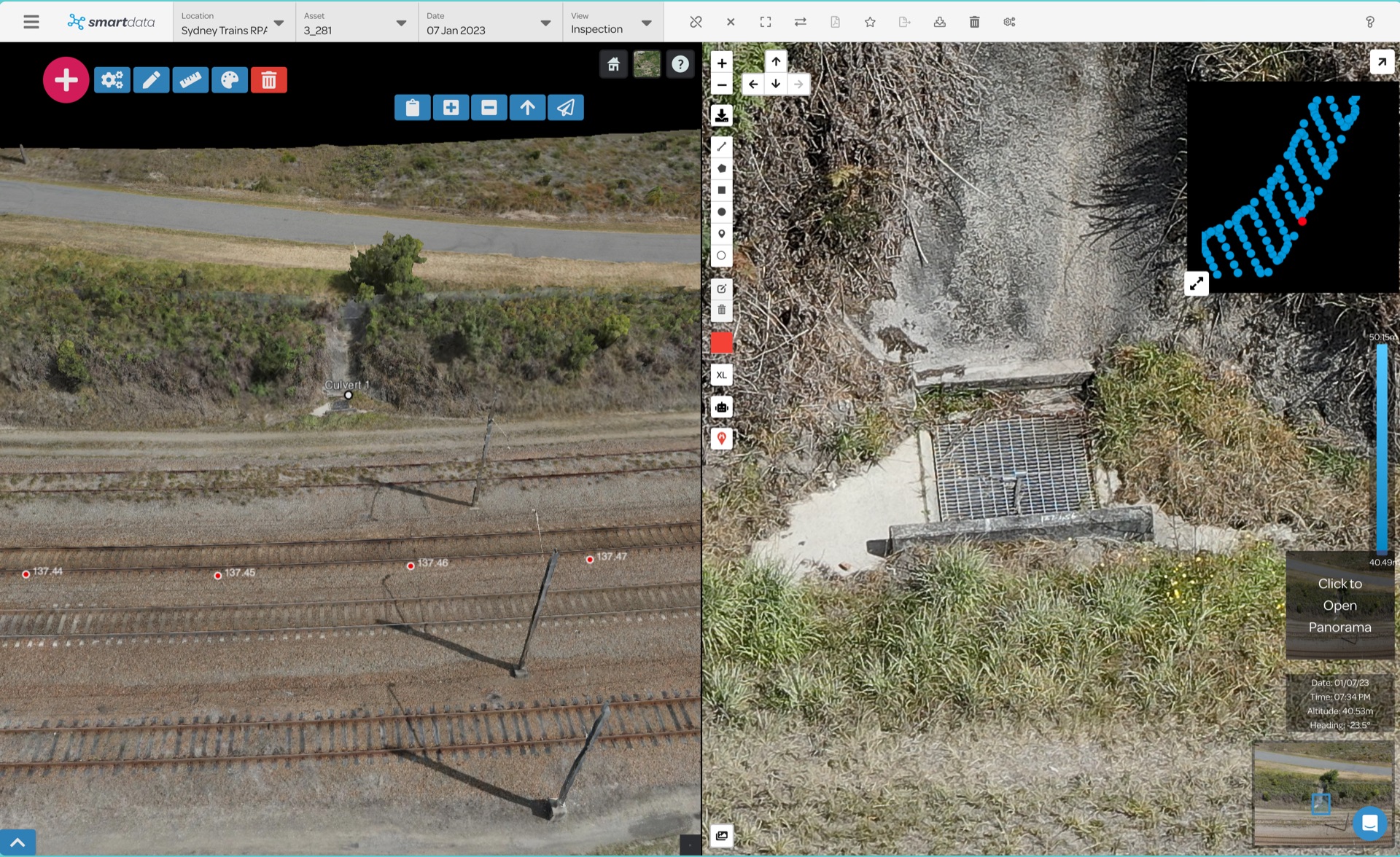
SmartData links a wider asset view with source imagery. This is an example of the review environment, not a promise that hosting is included in every quote.
National Drones has used imagery, LiDAR and mapped findings in its multi-site power pole and vegetation assessment. For an engineering asset example, see the bridge inspection case study. These show delivery approaches, not price benchmarks for a different site.
Send a brief that gets a useful quote
Include a site address or boundary, the asset count, your required decision, the deadline and any known access restrictions. Attach an example report if your organisation uses a set format. If you do not know which sensor or output you need, say so.
Then ask: "What will we receive, what will remain unverified, and what additional work might we need?" That is a better starting point than asking for the cheapest flight.
Discuss your inspection scope with National Drones, or compare our visual, thermal and LiDAR inspection services.