BYO and Private Drone Data Hosting
Bring processed drone datasets into SmartData, then choose the right path for your team: self-service hosting, private cloud, or a scoped self-hosted deployment.
Turn Processed Drone Data Into Controlled Asset Evidence
SmartData gives customers and partners a practical way to publish processed drone datasets without scattering outputs across file stores, screenshots, spreadsheets, and static reports. Each hosted view stays tied to your company account, team permissions, asset context, and review workflow.
Start with self-service BYO hosting when you need speed. Move to Enterprise when your organisation needs private storage, custom access controls, integration planning, or a self-hosted deployment model.
The main customer-facing limit is hosted dataset count, while included storage acts as a fair-use infrastructure allowance for supported hosted-view packages.
Supported BYO Package Types
SmartData BYO hosting is designed for processed, viewer-ready packages rather than raw capture files.
Orthomosaic Hosted Views
Host processed 2D map outputs packaged for web-based review, measurement, annotation, and team sharing.
Cesium 3D Tiles
Bring processed 3D Tiles datasets into SmartData for browser-based 3D visualisation.
Point Clouds
Upload supported tiled point cloud packages for asset review, inspection context, and future analytics workflows.
Gaussian Splat Packages
Host emerging 3D visualisation packages where the dataset has been prepared for SmartData viewing.
Built Around the Drone Data Pipeline
SmartData is not limited to one capture tool or one viewer output. It is designed to sit after processing and keep the evidence useful for asset teams.
Capture and Processing
- DJI Terra
- Agisoft Metashape
- RealityCapture
- Pix4D
- OpenDroneMap
- 3DF Zephyr
Viewer-Ready Outputs
- Orthomosaics
- Cesium 3D Tiles
- Point clouds
- Gaussian splats
- Terrain outputs
- Thermal imagery
Spatial Context
- GeoTIFF
- KML
- GeoJSON
- DXF overlays
- Asset registers
- Inspection records
Stakeholder Outputs
- Review status
- Annotations
- Measurements
- Exports
- Shared links
- PDF reports
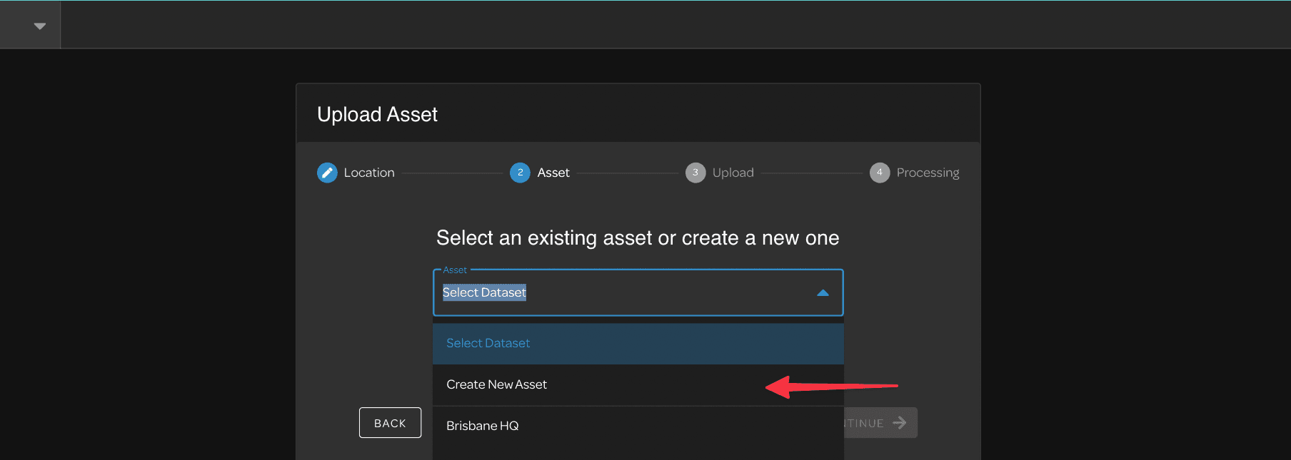
How BYO Upload Works
The flow starts with a paid SmartData account and carries plan context through upload validation, dataset limits, and viewer access.
Choose a BYO hosting plan
Use Dataset Pass for the first hosted dataset, Starter or Pro for larger self-service libraries, or speak with us about Enterprise.
Prepare your processed data
Export or package supported outputs from DJI Terra, Agisoft Metashape, or your processing workflow.
Upload into SmartData
SmartData associates the hosted-view package with your company account, dataset allowance, and selected team permissions.
Visualise and share
Your team can open the dataset in the SmartData viewer, manage access, and use the hosted asset over time.
Why Asset Teams Use SmartData
General 3D viewers help people look at a model. SmartData is built for teams that need to review, prove, share, and revisit inspection evidence.
Inspection Evidence
Keep source imagery, maps, models, point clouds, thermal context, annotations, and review status tied to the asset or site.
Private Sharing
Give internal teams, contractors, and asset owners controlled access without passing large files through ad hoc folders.
Repeat Programs
Preserve inspection history across recurring captures so teams can compare conditions, validate progress, and audit decisions.
Operational Handoff
Turn drone deliverables into reports, exports, and work-ready evidence for maintenance, compliance, and planning teams.
How the BYO Limits Work
The plans are built around how many processed hosted-view datasets you need to keep online, with storage included to keep uploads and hosting practical.
Dataset count is the main plan limit
Each plan is easiest to compare by hosted dataset count: one dataset on Dataset Pass, three on Starter, and fifteen on Pro.
Storage is included fair-use capacity
Included storage protects hosting infrastructure and upload reliability. It is not sold as automatic pay-as-you-go storage.
Add-ons are quoted separately
Processing, ForestSmart, Powerline, inspection AI, analytics, and reporting are add-ons unless they are included in a separate quote.
Overage is handled by manual review during the MVP. We will review account usage, recommend a plan change, or quote additional scope before any overage invoice.
BYO Hosting Plans
Dataset Pass, Starter, and Pro are built for self-service signup. Enterprise is a contact-led platform arrangement and is not normal checkout.
BYO Dataset Pass
AUD 149/year
The low-friction first upload option for one processed, viewer-ready dataset and a small review group.
- 1 hosted dataset
- 50 GB included storage
- 2 seats
BYO Starter
AUD 249/year
For small teams or repeat customers with a few hosted datasets that should stay accessible over time.
- 3 hosted datasets
- 150 GB included storage
- 5 seats
BYO Pro
AUD 249/month
For active teams managing recurring uploads, larger hosted datasets, and wider viewer access.
- 15 hosted datasets
- 500 GB included storage
- 10 seats
BYO Enterprise
Custom pricing
For asset owners that need a private, governed, or self-hosted SmartData platform arrangement rather than normal self-service checkout.
- 5 TB baseline storage
- Custom or unlimited hosted datasets
- Custom or unlimited seats
- Private cloud, region-controlled, or self-hosted options
Choose the Right Deployment Model
Use the same SmartData story for small teams and enterprise buyers, with the level of control matched to the risk of the data.
Self-service
SmartData Hosted
Best for teams that want to upload processed datasets, invite reviewers, and use SmartData without managing infrastructure.
- Dataset Pass, Starter, and Pro plan options
- SmartData-managed hosting and viewer access
- Company account, seats, storage, and dataset allowances
Enterprise
Private Cloud
For organisations that need a dedicated platform arrangement, controlled storage location, custom users, and support commitments.
- Custom storage and user commitments
- Optional API, export, reporting, and analytics packages
- Data residency and governance discussions during scoping
Enterprise
Self-Hosted or On-Premises
For larger asset owners with strict security, procurement, or network requirements who need SmartData deployed under their control.
- Contact-led deployment design
- Security, backup, and access requirements scoped upfront
- Support, upgrades, and operating model agreed before rollout
Prepared for Terra and Metashape Workflows
If your team already processes drone data in DJI Terra, Agisoft Metashape, or a specialist photogrammetry pipeline, BYO hosting gives you a way to make those outputs accessible to asset managers, engineers, contractors, and reviewers through SmartData.
The key is to upload the packaged hosted-view output, not the raw capture project. SmartData keeps each hosted view as a separate ZIP so upload validation, publishing, storage allowance, and viewer access stay tied to the paid company account.
Processing, ForestSmart, Powerline, inspection AI, analytics, and reporting can be added when quoted, but they are not bundled into the standard BYO hosting tiers.
Before you upload
- Export a processed, viewer-ready package from DJI Terra, Agisoft Metashape, or an equivalent workflow.
- Create one ZIP per hosted view instead of mixing orthomosaic, point cloud, and 3D model outputs in one archive.
- Use the SmartData root folder for the selected view: cesiumtiles-view/, ortho-view/, pointcloud-view/, or gaussiansplat-view/.
- Keep required metadata in the package, such as model.json and tileset.json for 3D Tiles, or model.json plus .pnts payloads for tiled point clouds.
- Use SmartData processing or a conversion service for raw image sets, GeoTIFF-only orthomosaics, LAS/LAZ-only point clouds, loose OBJ/FBX models, or arbitrary folder structures.
- Check the hosted dataset allowance first, then storage allowance as the included fair-use infrastructure limit for each plan.
Frequently Asked Questions
- Can I upload DJI Terra or Agisoft Metashape outputs?
- Yes, provided the data has been processed and packaged into a SmartData-supported hosted-view ZIP. DJI Terra, Agisoft Metashape, and similar workflows can be good sources for exports, but SmartData still needs a supported upload package such as an orthomosaic hosted view, Cesium 3D Tiles, tiled point cloud, or Gaussian Splat package.
- Do invited users each need to pay individually?
- No. BYO hosting is tied to the company or team billing account. Invited users can access the datasets they are entitled to under that paid company account.
- What is the difference between Dataset Pass and Starter?
- Dataset Pass is the low-friction first upload option for one hosted dataset and two seats. Starter is the better fit when you expect to keep up to three datasets online, invite up to five seats, or come back with additional uploads.
- Can I upload raw drone photos, LAS files, or GeoTIFFs directly?
- BYO hosting is intended for processed viewer-ready packages. Raw capture files, LAS/LAZ-only point clouds, GeoTIFF-only orthomosaics, loose model files, or unprepared geospatial files need SmartData processing, conversion, or packaging before they can be hosted and visualised.
- What happens if we exceed the dataset or storage allowance?
- Dataset count is the main customer-facing limit. Included storage is a fair-use infrastructure allowance for hosted-view packages. For the MVP, overage is handled by manual account review, upgrade discussion, or a separate quote rather than automatic overage billing.
- Are processing, analytics, and reports included?
- No, not by default. Processing, ForestSmart, Powerline, inspection AI, analytics, and reporting are add-ons unless they are quoted separately as part of your SmartData arrangement.
- What if we have a large enterprise asset base?
- Larger utilities, infrastructure owners, mining groups, and government teams can use SmartData as a premium platform with a 5 TB baseline, custom or unlimited dataset and seat allowances, and contact-led commercial terms. Enterprise can be scoped as managed hosting, private cloud, or a self-hosted deployment rather than normal self-service checkout.
- Can SmartData be self-hosted or deployed in a private cloud?
- Yes, for Enterprise customers. Self-hosted and private cloud arrangements are contact-led because security, storage, backups, updates, support, and integration requirements need to be scoped before deployment.
- How is SmartData different from a general 3D viewer?
- SmartData is designed around drone inspection and asset evidence workflows, not just visualisation. It connects maps, 3D views, point clouds, Gaussian splats, source imagery, review status, annotations, exports, reports, and team handoff in one workspace.
Ready to Host Drone Data Under Your Control?
Start with a one-dataset pass, move up to Starter or Pro as your hosted library grows, or plan a private deployment for larger asset owners.
Ready to See What Drones Can Do?
Tell us about your project and we'll send you a tailored proposal — most quotes are turned around within 24 hours.