


1Thermal layer
Radiometric
Temperature evidence
Specialist biosecurity surveillance
Aerial surveillance that turns radiometric thermal and RGB imagery into review-ready evidence for targeted field follow-up.
Temperature evidence
Visible-light context
Human judgement
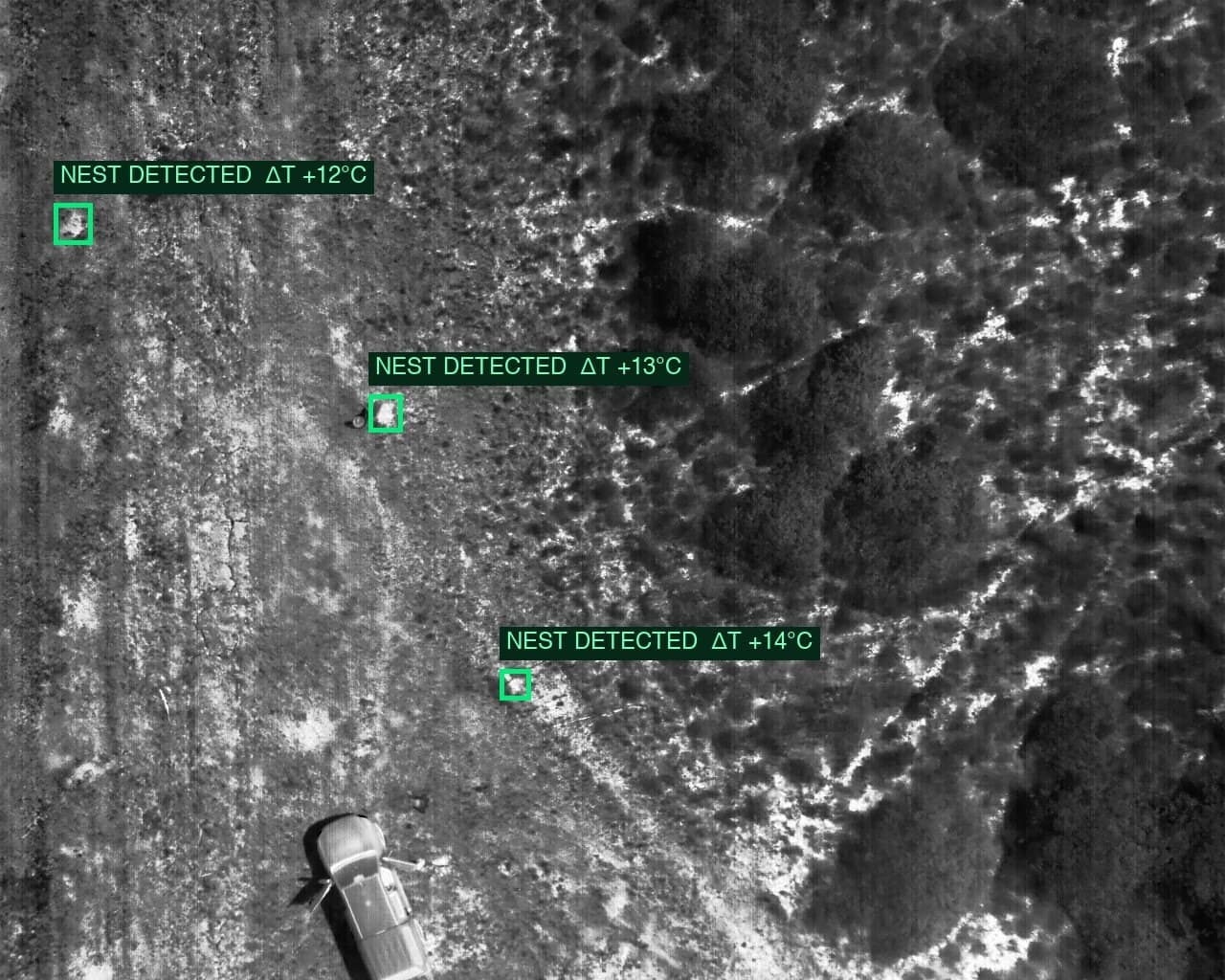
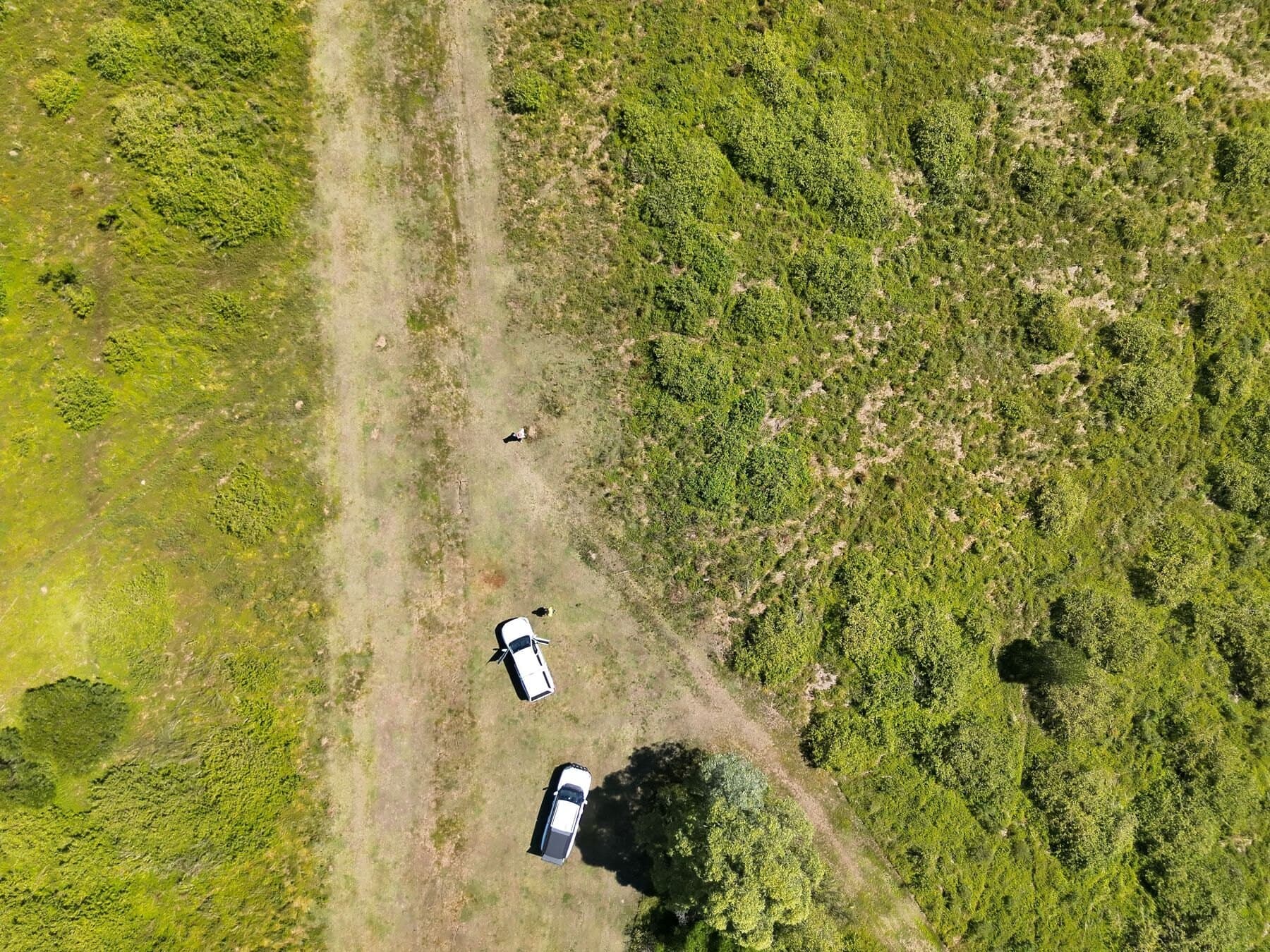
Background: paired RGB and annotation-free radiometric context from a known-nest evaluation sequence.
Specialist inspection capability
Under suitable conditions, fire-ant mounds can appear as local thermal anomalies. National Drones combines controlled capture, local background modelling, RGB context, and human review to prioritise evidence for field follow-up.
The output supports surveillance and prioritisation. It does not replace field confirmation, statutory inspection, or treatment decisions.
Five connected stages turn field imagery into review-ready locations—without removing the need for expert judgement.
Design the flight around terrain, weather, overlap, and useful ground detail.
Compare radiometric pixels with the ground immediately around them.
Screen warm regions by contrast, size, shape, and image context.
Pair thermal candidates with RGB imagery for analyst assessment.
Prepare reviewed locations and evidence for field verification.
The sequence prioritises evidence for review. It does not confirm species or guarantee that every nest will be visible.
The capture plan, radiometric processing, candidate logic, and review workflow have to work together.
Soil, vegetation, rocks, shade, and moisture can all create warm or cool patterns in one frame.
A mound may occupy only a small group of pixels. Capture height, focus, overlap, and surface conditions matter.
Thermal contrast does not identify a species. RGB context, analyst judgement, and field verification remain essential.
Example evidence
This matched pair is one frame from a known-nest evaluation flight. It demonstrates the evidence format, not a general performance rate.
Queensland programme case study
See how National Drones delivered aerial baiting and, as separate workstreams, prepared surveillance support and programme reporting for approximately 5,000 hectares of Queensland state-government work.
Suitable applications
Screen
Accessible open ground and corridors
Prioritise
Candidate locations for field teams
Repeat
Georeferenced inspection evidence
Deliver
Thermal, RGB, map, and review context
Operating envelope
Sun & shade
Surface heating
Wind & rain
Contrast loss
Ground cover
Visibility
Flight design
Image detail
Detection supports surveillance. It does not prove a nest is present, replace statutory inspection, or guarantee every nest will be found.
Explore National Drones' thermal inspection services for assets, infrastructure, buildings, and other temperature-anomaly use cases.
Tell us about the site, terrain, operating window, and field workflow. We’ll assess whether thermal capture is a suitable surveillance method before recommending a scope.