
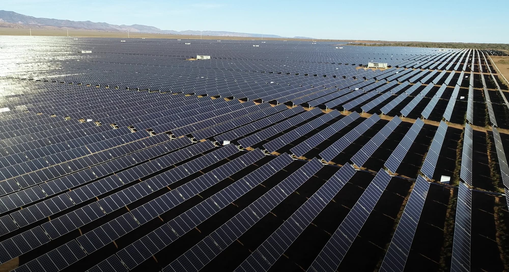
Bungala 1 and 2 Solar Farm Drone Thermal Inspections
Overview
Bungala 1 and 2 form one of Australia's major utility-scale solar developments. Together, the two sites contain approximately 800,000 solar panels across a large operating footprint near Port Augusta, South Australia.
National Drones has supported Elecnor with a multi-year solar farm drone inspection program. The work combines aerial thermography, high-resolution RGB imagery and orthomosaic mapping to create consistent visual evidence for solar asset maintenance teams.
The Challenge
Inspecting hundreds of thousands of photovoltaic modules from the ground is slow and difficult to standardise. A manual infrared inspection can take weeks, while the operating team still needs reliable coverage, traceable locations and imagery that can be reviewed after the field campaign.
Solar inspection data also depends on environmental conditions. Irradiance, wind, cloud cover, panel angle and reflections can affect the quality of thermal imagery. A successful program therefore needs more than a thermal camera: it needs controlled flight planning, live quality checks and repeatable capture rules.
The Drone Inspection Solution
National Drones designed a repeatable workflow for full-site thermal and RGB capture across Bungala 1 and 2. The field method included:
- Radiometric thermal imaging to identify temperature differences across modules and strings
- High-resolution RGB imagery for visual context and condition review
- RGB orthomosaic mapping at 3.5 centimetres per pixel or better
- Capture during suitable solar conditions, with at least 600 W/m² irradiance and 700 W/m² preferred
- Two-person flight teams with a remote pilot and visual observer
- In-field sample checks to confirm image quality before the team left each capture area
- Structured data upload for review in Raptor Maps
This approach compressed a weeks-long manual task into a shorter field campaign while maintaining a consistent record across the two solar farms.
From Thermal Data to Maintenance Evidence
Thermal drone inspection gives asset teams a fast way to review large solar arrays for potential anomalies. When combined with RGB imagery and mapped locations, the dataset can support investigation of:
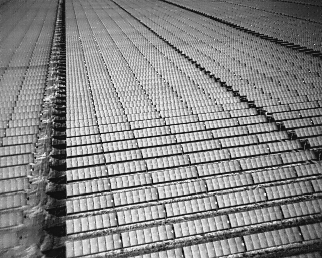
Radiometric thermal capture from the Bungala inspection program. Differences in tone represent measured temperature variation; diagnosis requires review of the source radiometric data and operating conditions.
- Module, cell and diode anomalies
- String and inverter issues
- Tracker position or alignment concerns
- Cracked or visibly damaged modules
- Soiling, debris and site-condition issues
- Potential polarity or connection faults
The imagery does not replace electrical testing. It helps maintenance teams locate areas that need closer review and direct ground crews to the right part of a very large site.
The Result
National Drones created repeatable, site-wide thermal and RGB datasets across multiple inspection campaigns. Each dataset provided georeferenced evidence that could be reviewed, compared and used to plan targeted follow-up work.
The program delivered four practical benefits:
- Faster coverage: large areas were captured in days rather than through a weeks-long handheld inspection program
- Safer inspection: fewer personnel needed to move through operating arrays with handheld equipment
- Consistent records: mapped RGB and thermal imagery created a traceable point-in-time record
- Better maintenance planning: potential issues could be reviewed by location before technicians were sent into the field
For operators managing large photovoltaic assets, a repeatable drone solar panel inspection program can turn a difficult field task into structured maintenance evidence. National Drones also provides thermal drone inspection services for solar, electrical and industrial assets.
For another utility-scale example, see the New England Solar Farm drone inspection.
Planning a Utility-Scale Solar Inspection?
National Drones provides thermal drone inspections, RGB aerial mapping and structured data delivery for solar farms across Australia. Talk to our team about your solar asset inspection program.