
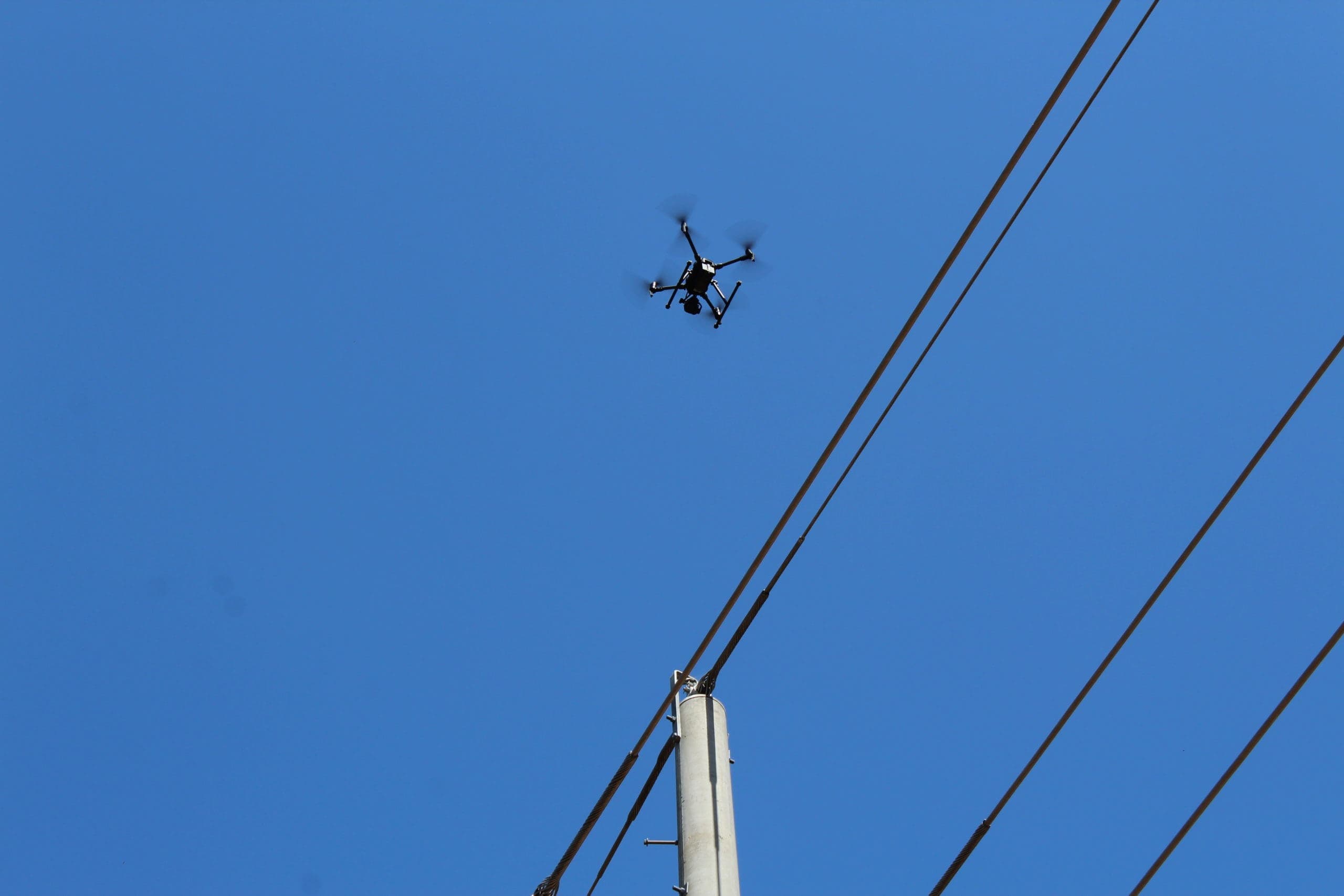
Commercial Drone Services
Aerial surveys, asset inspections and specialist data capture for mining, construction, energy and infrastructure projects across Australia.
Choose the Service for Your Project
Start with the result you need: a measured map, evidence of asset condition, terrain data or a targeted treatment. We agree the scope, capture method and deliverables before flying.
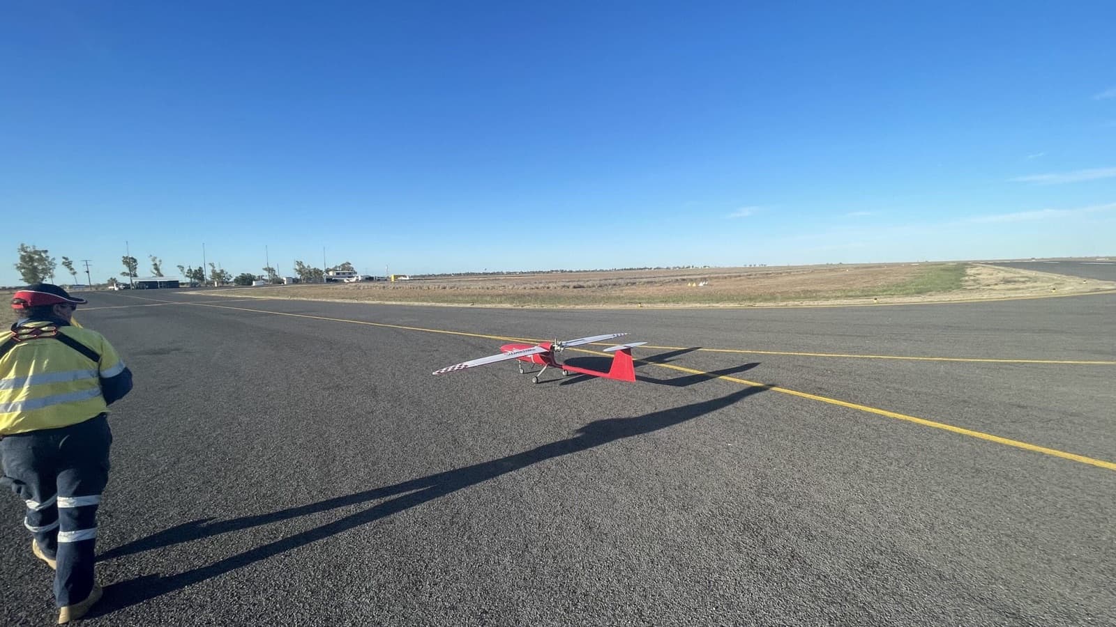
Aerial Surveys & Mapping
Aerial surveys, georeferenced maps and 3D site data for construction, mining and infrastructure planning.
Inspections
Visual and thermal evidence for roofs, powerlines and infrastructure, with a site-specific capture and reporting plan.
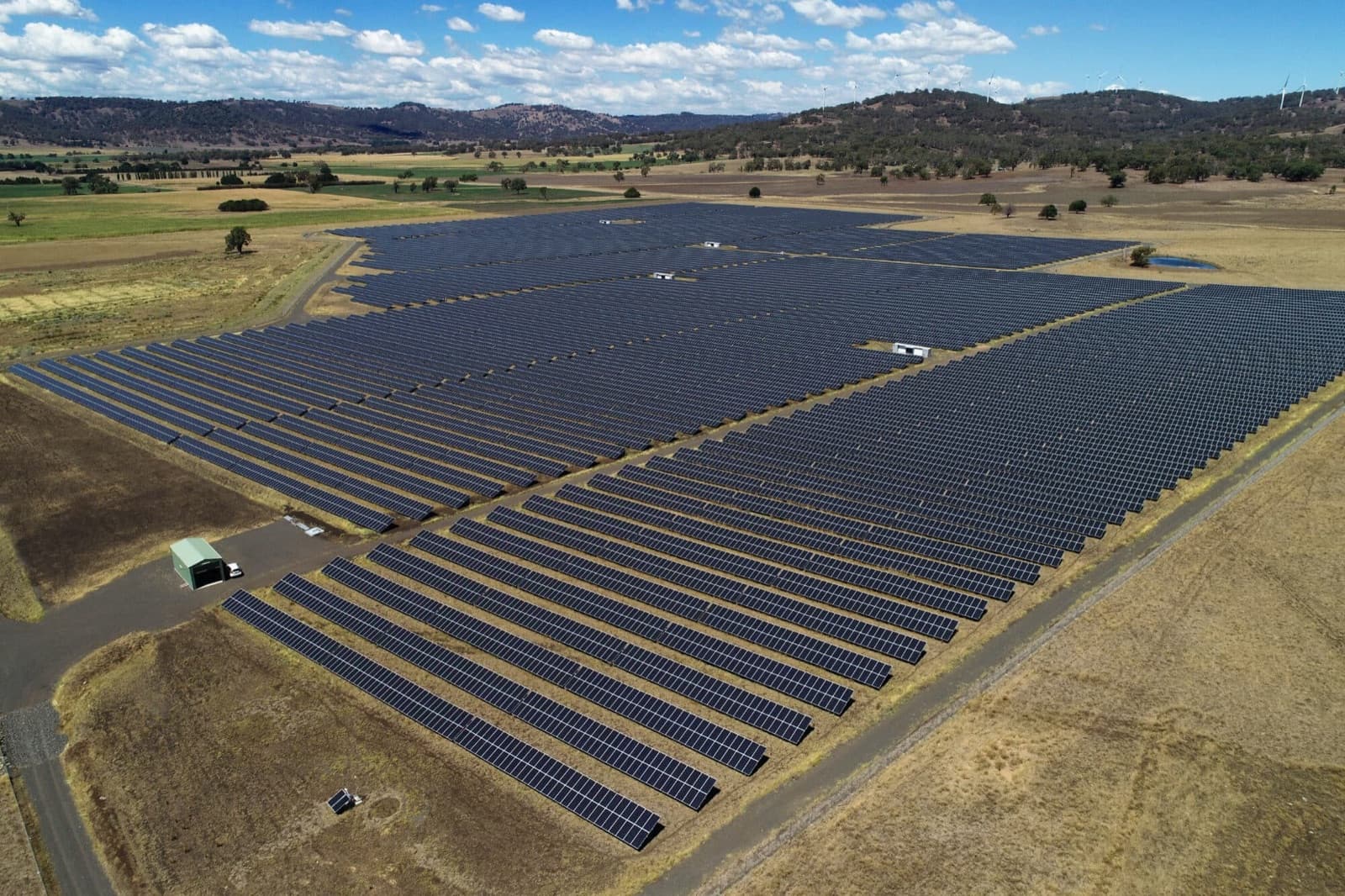
Thermal Inspections
Find faults invisible to the eye — thermal imaging for solar panels, electrical systems, and building envelopes.
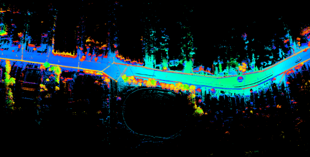
LiDAR Surveys
High-detail 3D terrain models through vegetation — ideal for forestry, corridors, and earthworks.
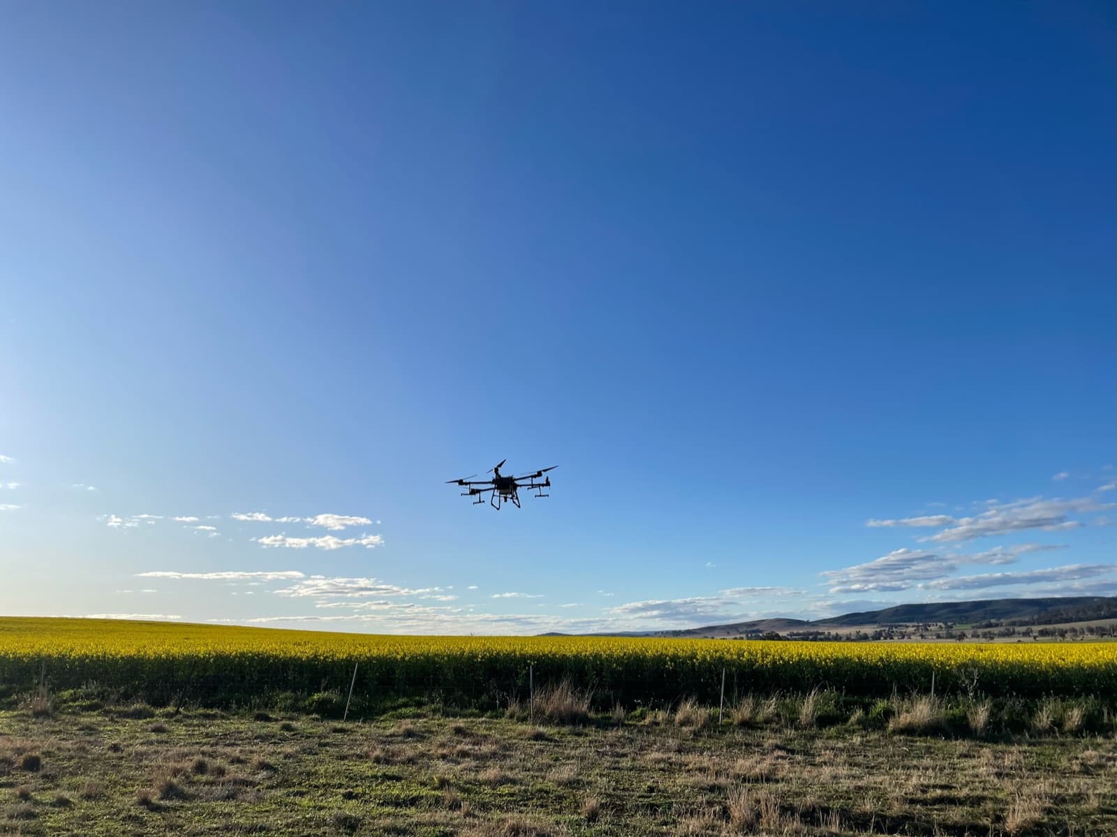
Drone Spraying
Targeted crop treatment and weed management with a site-specific drone spraying plan.
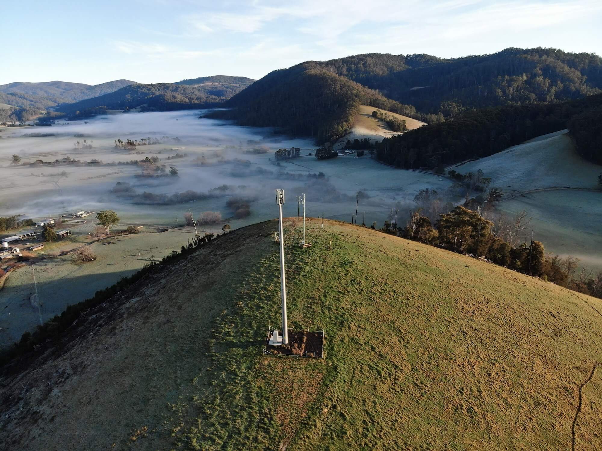
Industries
Purpose-built drone programs for mining, construction, agriculture, energy, and government — from pilot projects to nationwide rollouts.
Why Choose National Drones?
Aerial Surveys & Mapping
Map site conditions, measure stockpiles and compare progress. Specify orthomosaics, terrain models, point clouds and volumes to suit your planning or engineering workflow.
Drone Inspections
Capture visual and thermal evidence for roofs, towers, powerlines, solar panels and bridges. Locate observations against assets so maintenance teams can review and follow up.
LiDAR & Specialist Capture
Use LiDAR for detailed 3D geometry, thermal imaging for temperature patterns, or BVLOS surveys for suitable large-area projects, subject to the required operational approvals.
Certified & Compliant
National Drones operates under rigorous quality and safety management systems, ensuring compliance and reliability across all projects.
ISO 45001
ISO 9001:2015
ISO 14001:2015
Drone Services in Practice
See how we have delivered for clients across Australia.
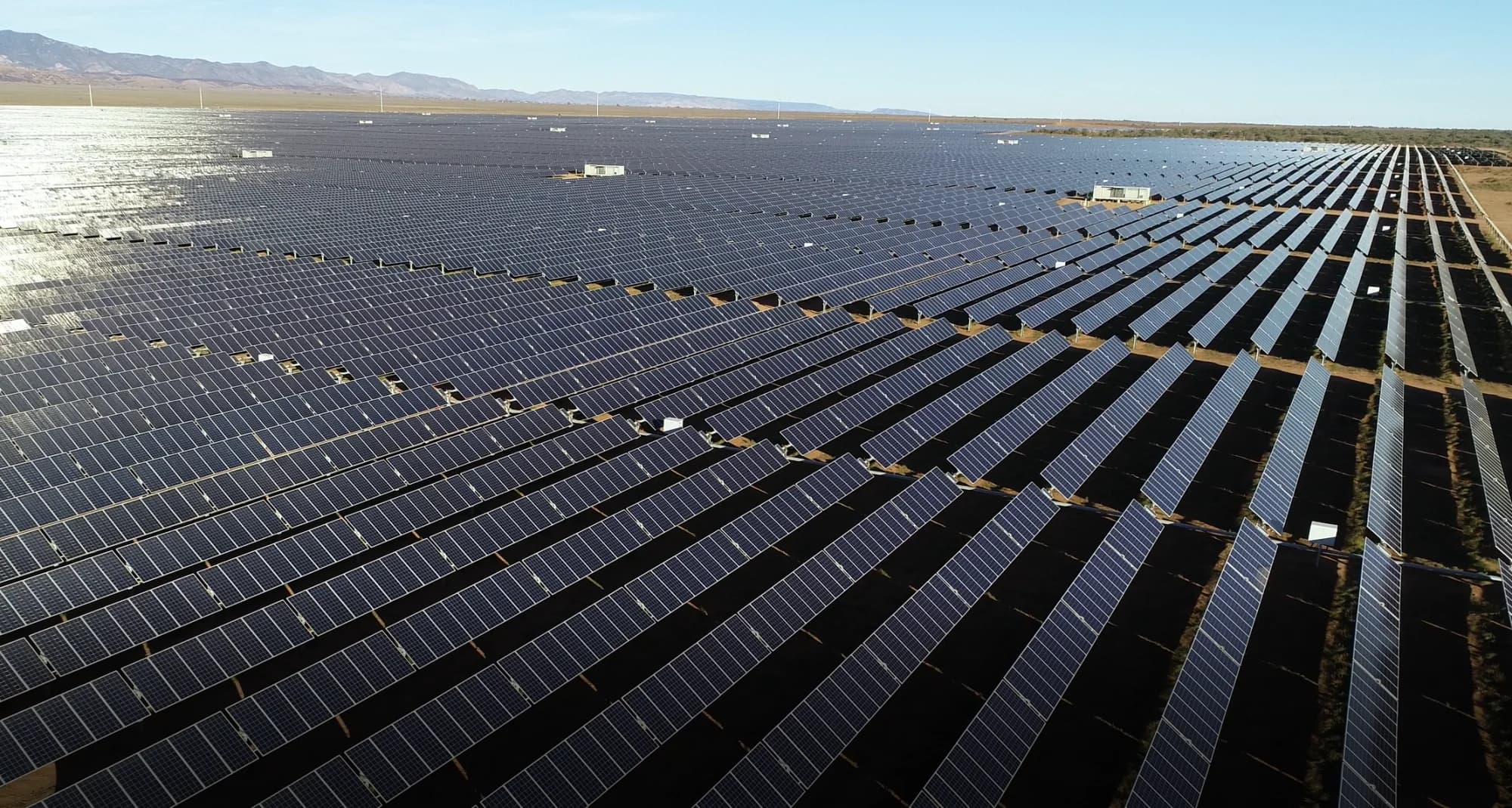
Renewable Energy
Bungala 1 and 2 Solar Farm Drone Thermal Inspections
Elecnor
A repeatable drone inspection program used thermal imaging and high-resolution RGB mapping to support maintenance planning across Bungala 1 and 2 in South Australia.
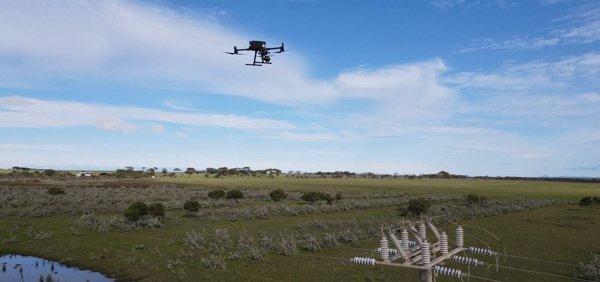
Critical Infrastructure
Multi-Site Power Pole and Vegetation Encroachment Assessment
Confidential Facilities Management Provider
A facilities management provider used LiDAR, RGB and thermal inspection data to improve power pole condition review and vegetation maintenance planning across multiple sites.
Renewable Energy
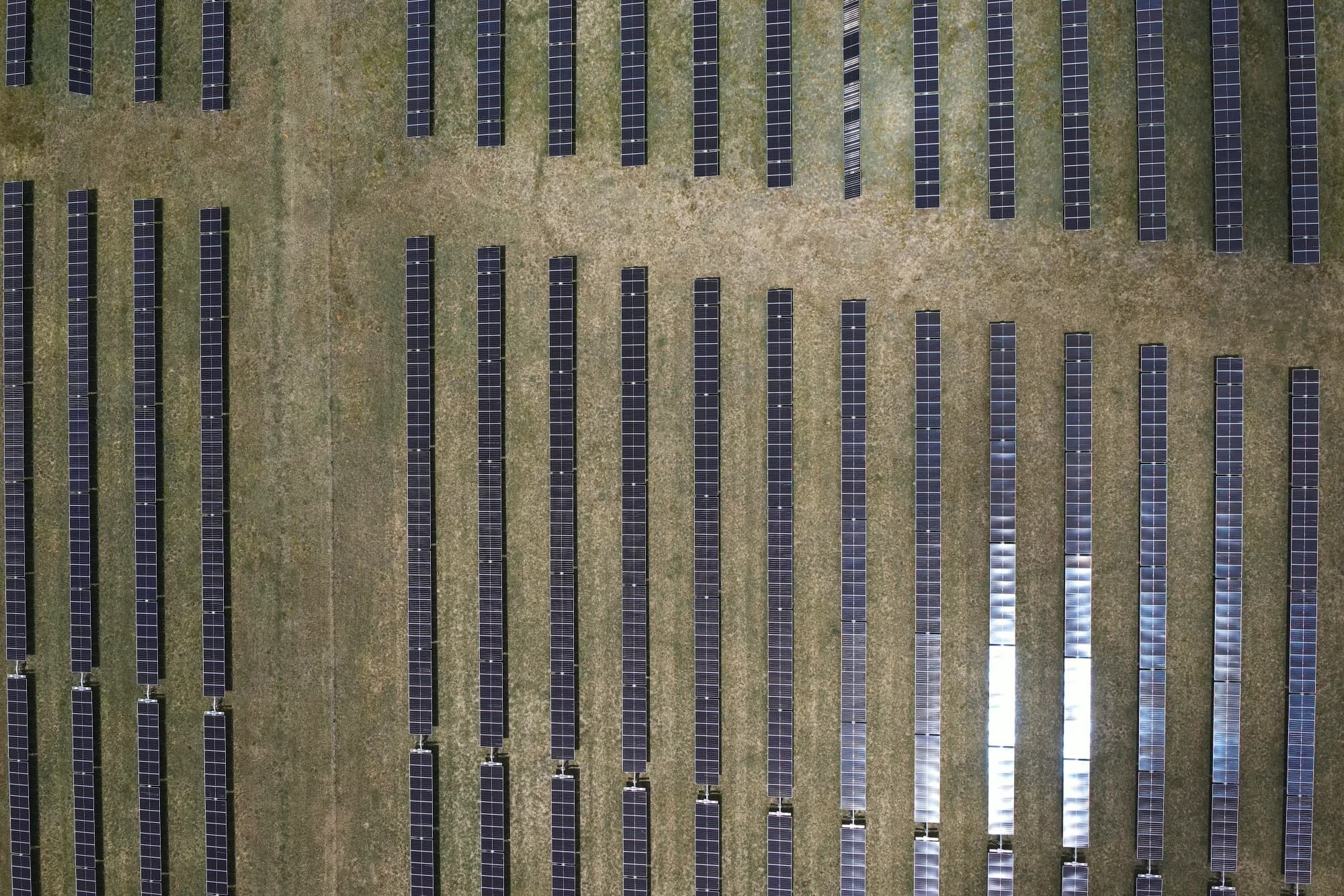
New England Solar Farm Drone Thermal Inspection
Elecnor
National Drones delivered high-volume thermal and RGB aerial data capture for a 520 MW solar farm inspection program in New South Wales.
Frequently Asked Questions
- Which commercial drone service does my project need?
- Choose aerial surveying for maps, terrain and volumes; visual or thermal inspection for asset condition; and LiDAR for detailed 3D geometry and terrain beneath suitable vegetation cover. Tell us what decision the data must support so we can select the capture method and outputs with you.
- What information is needed for a drone services quote?
- Send the site location, survey boundary or asset list, access restrictions, required outputs and target date. Include any coordinate system, accuracy specification or reporting standard. We assess airspace, permissions and site risks before confirming scope and price.
- Can you support projects at more than one site?
- National Drones delivers projects across Australia. For multi-site work, we agree consistent capture requirements, asset naming, reporting and data access. Scheduling depends on each site's access, airspace, weather and approval requirements.
Plan Your Drone Project
Send your site location, assets or survey area, required outputs and target date. We will confirm the capture method, access requirements and project scope.