
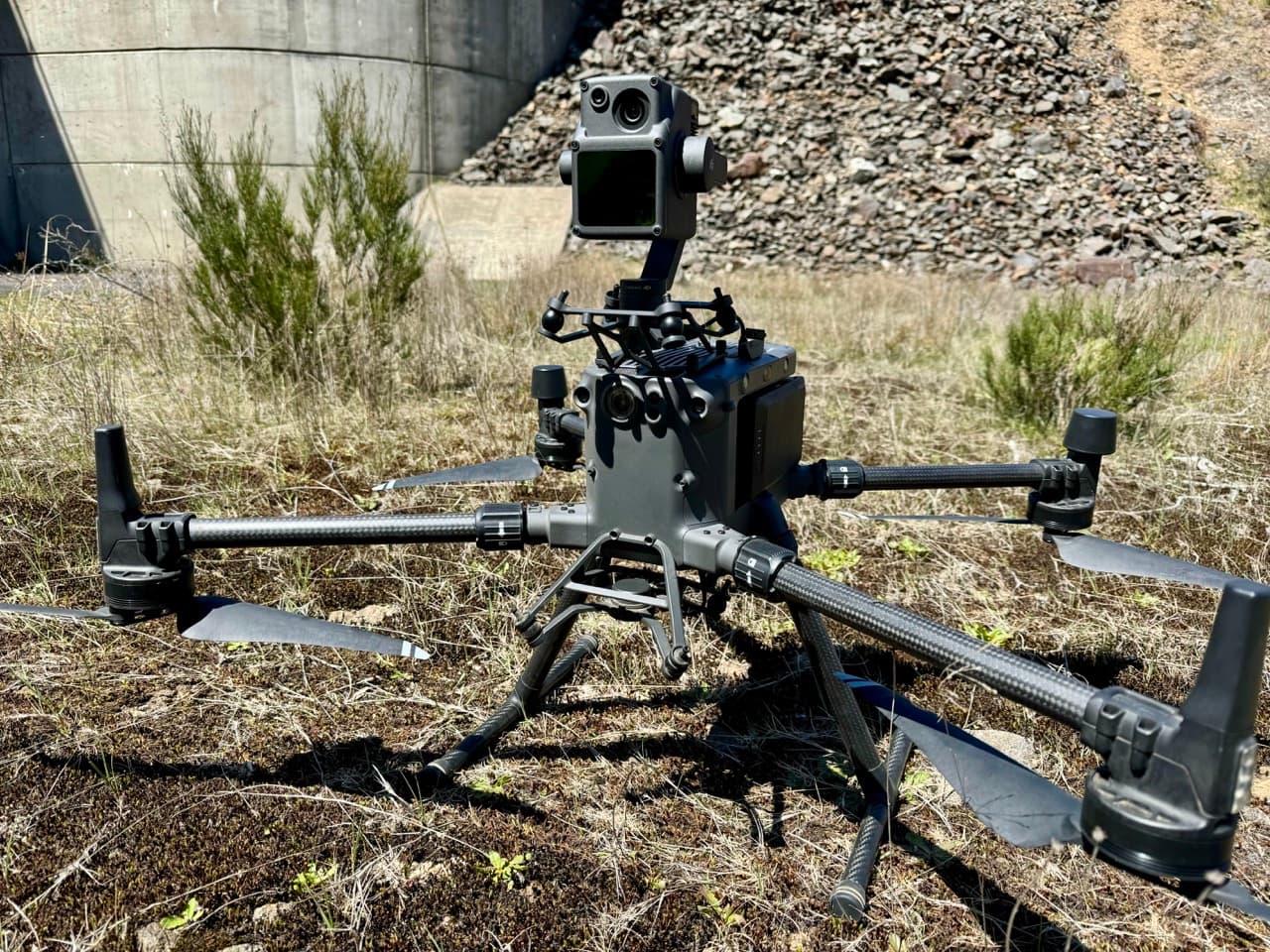
Price the deliverable, not just the flight. A point cloud for visual review and a checked terrain model for design are different products. Start with the question your engineer, surveyor or asset team needs to answer.
There is no single LiDAR drone survey price that applies to every Australian site. The same area can require different capture, control and processing work depending on its terrain, vegetation and intended use.
This guide shows what moves the cost and how to request comparable quotes for LiDAR survey and inspection services. It does not publish a fixed rate without a defined site and specification.
The scope that determines your quote
| Cost component | What changes the work | What to put in your brief |
|---|---|---|
| Mobilisation and access | Distance, inductions, access points and dispersed sites | Site boundary, access contact and known restrictions |
| Capture | Terrain, vegetation, flight constraints and required coverage | Area or corridor, target features and deadline |
| Positioning and checks | Required accuracy, available control and verification method | Horizontal and vertical requirements, datum and end use |
| Processing | Classification, terrain modelling and manual review | Required classes, surfaces and treatment of gaps |
| Delivery | File formats, analysis, reporting and hosted access | Software used by your team and acceptance criteria |
Why area alone is not enough
A compact open site and a narrow corridor of the same area may require different mobilisation and flight planning. Dense vegetation can also increase the difficulty of producing a reliable ground model.
Use hectares or corridor length to describe the boundary, but also include the terrain, vegetation, target features and access. Where relevant, identify buildings, water, overhead infrastructure and steep slopes.
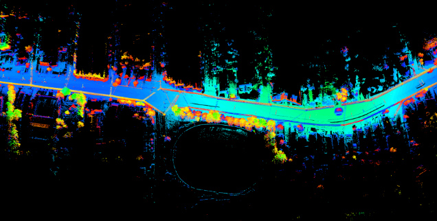
LiDAR records three-dimensional geometry. Point density describes sampling; it does not prove positional accuracy or complete ground coverage.
Ask for the accuracy your end user needs
"Survey-grade" is not a complete specification. Agree the required horizontal and vertical accuracy, coordinate reference system, control approach and independent checks. Ask how the provider will report the check results and identify areas that do not meet the agreed requirement.
Dense points can still be displaced. Likewise, a visually impressive model may not meet a design or measurement specification. Your engineer or surveyor should confirm the acceptance criteria before capture.
If the work is for cadastral boundaries or a regulated surveying purpose, confirm the applicable professional requirements. Drone capture alone is not a cadastral survey.
Choose the outputs before the aircraft flies
- Point cloud: LAS or LAZ files, agreed classes and coordinate information.
- Terrain or surface model: define whether you need ground terrain, the top surface, or both; specify resolution and gaps.
- Engineering outputs: contours, sections or other agreed products in formats your team can use.
- Asset analysis: defined measurements, thresholds, review responsibilities and uncertainty.
- Quality record: coverage, control and check results, processing notes and known limitations.
- Hosted review: confirm the access term, users, export rights and any ongoing fees.
Not every project needs every output. Removing an unnecessary deliverable can be more useful than choosing a lower-cost quote that omits a required one.
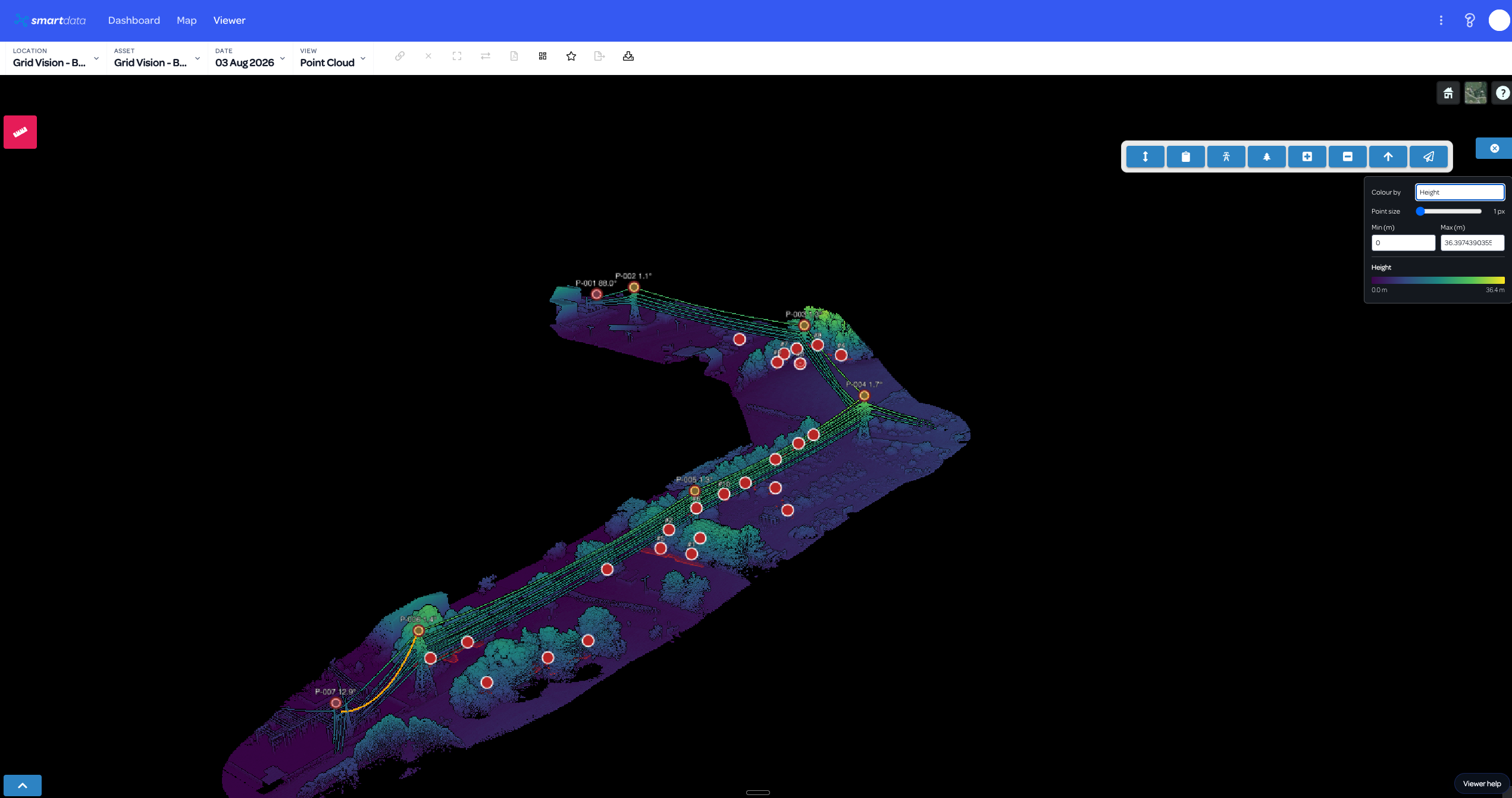
A SmartData powerline analysis example. Measurements and vegetation criteria need a defined scope and review process; this screenshot is not an accuracy certificate.
A simple scope comparison
Imagine two briefs for the same site. The first requests a point cloud for general visual review. The second requests classified ground data, a terrain model, independent check results and engineering file formats. The second brief adds processing and verification work even if the capture boundary is unchanged.
Ask the provider to separate mobilisation, capture, control, processing and optional analysis. This makes it easier to see which costs are fixed, which depend on area, and which come from the deliverables.
For a real asset workflow, read the multi-site power pole and vegetation assessment. For combined LiDAR and imagery, see the bridge inspection program. Neither case study is a price benchmark for your site.
What to send for a LiDAR quote
Send a marked boundary, the approximate area or corridor length, the required deadline and a short statement of end use. Add your accuracy requirements, datum, preferred file formats and access constraints. If those specifications are not yet known, involve the person who will use the data.
Discuss your LiDAR survey scope with National Drones. If your task is primarily condition assessment, compare the inspection cost guide and report checklist before selecting the capture method.