
Is this a field-calibrated inventory replacement?
Not by default. Treat it as relative inventory unless field calibration has been supplied and validated for the project.
SmartData forestry workflows are moving beyond tree detection into stand summaries, per-tree stem metrics, sawlog and pulpwood assortment, and Cesium overlays for review.
Status
Active buildout
Best-fit audience
Forestry asset managers
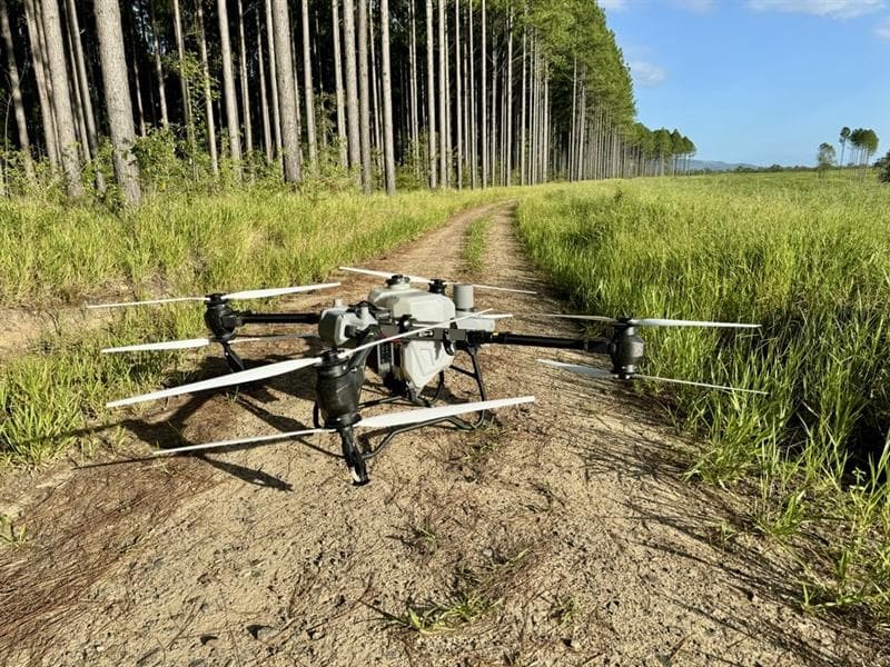
Plan a forestry pilot using LiDAR and ForestSmart to explore tree detections and relative inventory estimates. These capabilities are in active development.
Connect source data, SmartData processing, hosted views, and review outputs so operational teams can move from capture to decisions with less file handling.
Forestry-flagged datasets and controlled analysis actions
Per-tree detections with DBH, height, taper, and QA state
Stand roll-ups: stems per hectare, merchantable volume, sawlog and pulpwood split
Grade-spec driven re-runs without overwriting old runs
Cesium markers, heatmaps, legends, and run history
Relative inventory labelling until field calibration is supplied
Capture or process a georeferenced forestry point cloud, ideally from DJI L3 where appropriate.
Run ForestSmart detection and inventory analysis on forestry-flagged datasets.
Review stand summary cards, assortment charts, and per-tree tables.
Use Cesium overlays to inspect tree markers, sawlog value zones, and QA states.
Export inventory summaries and rerun with different grade specs when needed.
SmartData gives this team a hosted workflow for turning complex capture outputs into reviewable evidence.
SmartData gives this team a hosted workflow for turning complex capture outputs into reviewable evidence.
SmartData gives this team a hosted workflow for turning complex capture outputs into reviewable evidence.
Straight answers about inputs, availability, outputs, and where human review still matters.
Not by default. Treat it as relative inventory unless field calibration has been supplied and validated for the project.
ForestSmart adds assortment and value context: DBH, height, taper, merchantable volume, sawlog and pulpwood split, quality status, and stand summaries.
Georeferenced L3 point clouds give ForestSmart richer multi-return LiDAR inputs for canopy, stem, and ground context where the capture supports it.