
Is SmartData already a raw-photo processing checkout?
No. BYO hosting remains available for supported processed packages. Raw-photo processing is in development and is limited to controlled workflows.
SmartData is moving toward an end-to-end pipeline that can process drone imagery into 3D Tiles, point clouds, and downstream Gaussian Splat packages for hosted review.
Status
In development
Best-fit audience
Drone processors who want repeatable hosted delivery
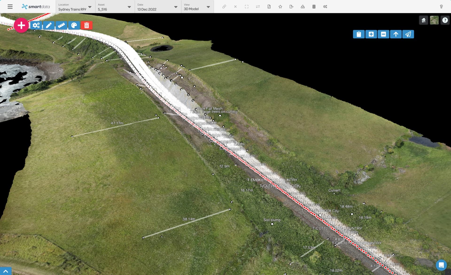
In development for controlled photogrammetry processing; it is not available as a general self-service workflow.
Connect source data, SmartData processing, hosted views, and review outputs so operational teams can move from capture to decisions with less file handling.
ODM/NodeODM baseline for aerial photogrammetry
3D Tiles and georeferenced point cloud outputs
Higher-quality splat processing is planned through COLMAP
Quality reports and automated delivery into SmartData
Outputs packaged for supported SmartData views
Raw imagery to hosted viewer delivery is in development
Capture imagery with the required overlap, metadata, and ground-control expectations.
Submit the imagery through a controlled processing workflow.
Generate 3D Tiles, point cloud, and QA artifacts.
Package outputs into SmartData-compatible hosted-view roots.
Publish the dataset into SmartData for team review, sharing, and reporting.
SmartData gives this team a hosted workflow for turning complex capture outputs into reviewable evidence.
SmartData gives this team a hosted workflow for turning complex capture outputs into reviewable evidence.
SmartData gives this team a hosted workflow for turning complex capture outputs into reviewable evidence.
Straight answers about inputs, availability, outputs, and where human review still matters.
No. BYO hosting remains available for supported processed packages. Raw-photo processing is in development and is limited to controlled workflows.
ODM/NodeODM is the planned aerial photogrammetry method, with separate processing for higher-quality splats where needed.
Future processing jobs will produce the same supported SmartData view packages used by BYO hosting.