Basic Meteorology
for RPAS
Remote Pilot Licence — Unit 4 RBMO

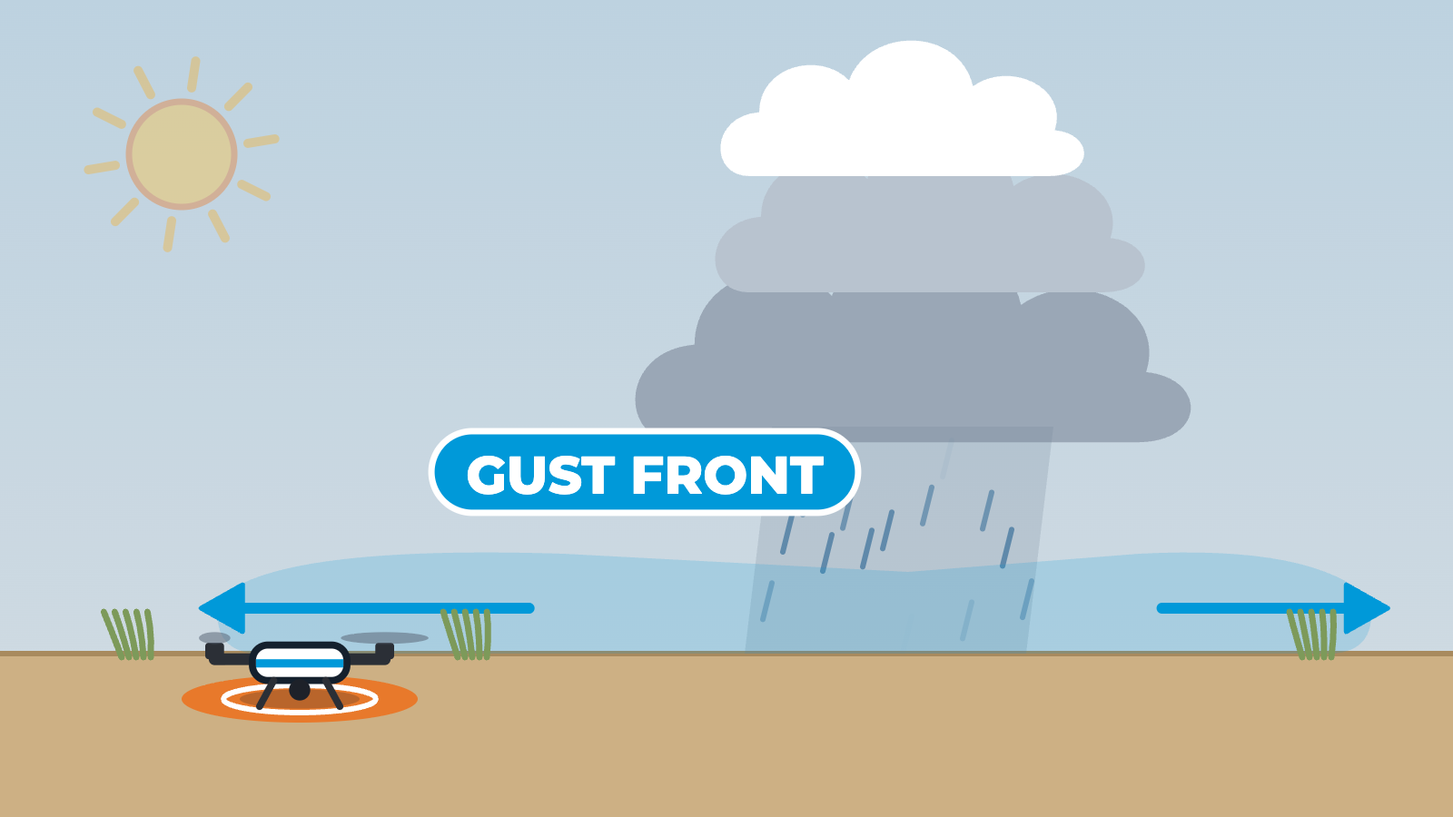
Side-view cross-section of flat country under a low sun. Warm thermals rise from the heated ground and a small cumulus cloud forms where they cool. The cloud keeps growing into a towering storm cloud. A drone that was hovering to the left lands on its pad while the cloud is still building. Rain then falls from the cloud, and the gust front, a wedge of cold outflow air, spreads along the ground ahead of the rain and passes the landed drone. The cloud then fades and the cycle repeats. One label at a time: Thermals, Cumulus, Gust front.
Learning Objectives
By the end of this unit, you will be able to:
- Explain what air pressure is, how it is measured, and how it changes with altitude
- Describe high and low pressure systems and how the Coriolis effect influences wind direction in the Southern Hemisphere
- Interpret synoptic charts, isobars, and pressure gradients to assess wind conditions
- Explain gradient flow, surface wind friction effects, and local wind patterns (sea and land breezes)
- Identify major cloud types by altitude and shape, and understand how clouds form
- Recognise the stages of thunderstorm development and the hazards they pose to RPAS operations
- Explain humidity, relative humidity, dew point temperature, and their effects on visibility
- Describe temperature inversions (radiation and frontal) and their impact on flight conditions
- Understand how wind and visibility are described in aviation weather reports
- Describe air masses, frontal systems, and key meteorological hazards including radiation fog and advection fog