LiDAR
Accurate Digital Terrain Models for areas covered fully or partially by trees or vegetation
Let us help you transform and upgrade your operations with advanced drone technology and aerial data capture. By removing the need for time-consuming manual inspection, you can examine and analyse your commercial and industrial site assets more frequently, and in greater detail. This effectively removes a number of serious risks to you and your employees while lowering your operating and staffing costs.
Aerial examination isn’t only a safer option for asset inspection and monitoring, but it will allow you to reduce expenditure on physical equipment and staffing costs. Our drones can reach dangerous heights and check high-voltage structures in a matter of minutes, while previous methods of elevated exploration could take days or weeks. Our operators are fully trained to capture the necessary data to meet OH&S compliance.
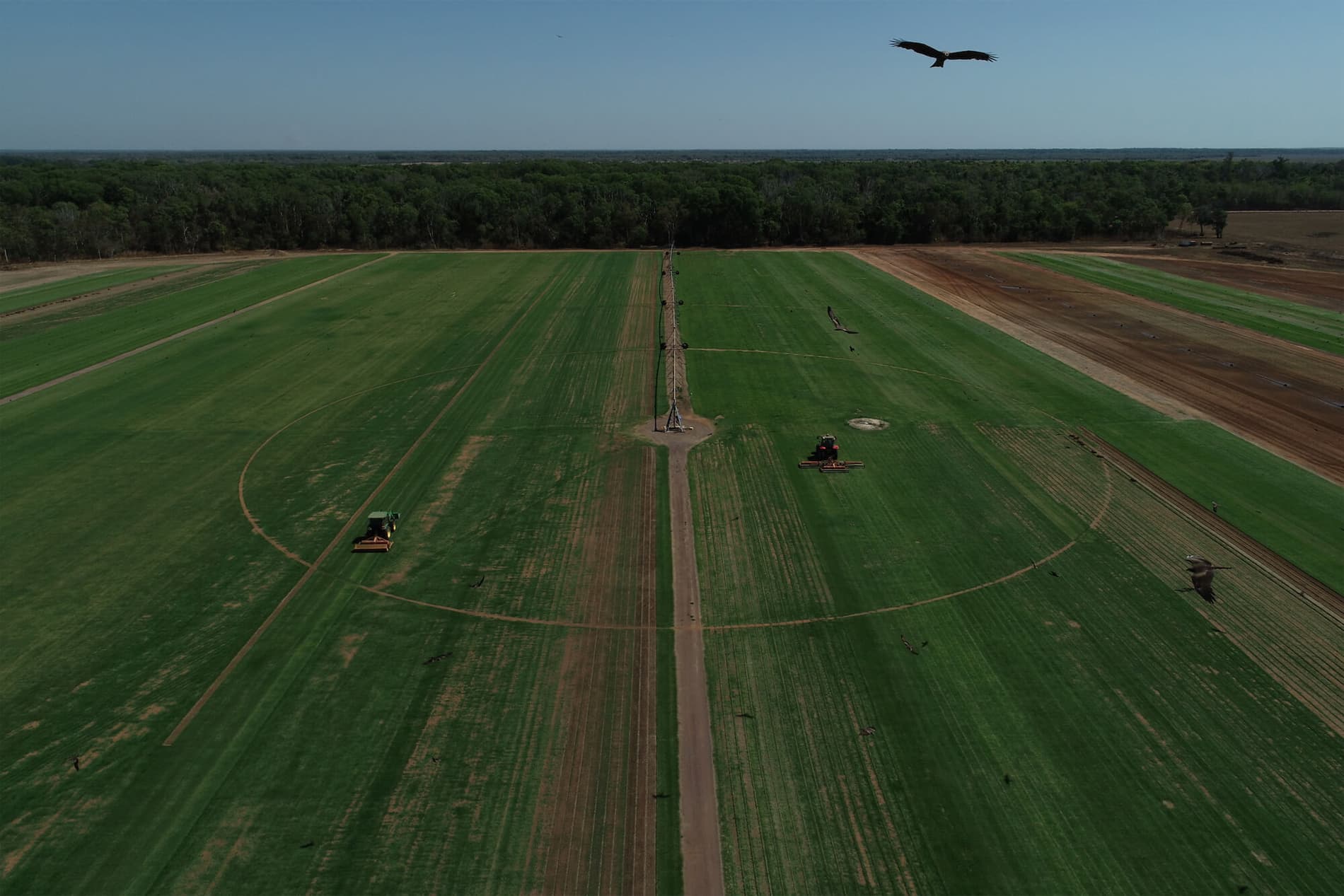
The advent of drone technology in agriculture marks a new epoch for the agribusiness sector. Where once vast fields stretched beyond the limits of easy observation and where the intricacies of crop health could be lost in the sheer scale, drones have introduced a new era of visibility and precision. Our state-of-the-art drones and software platform provide comprehensive aerial datasets that reveal detailed insights into crop health, irrigation needs, and field conditions with unparalleled accuracy and efficiency.
With drones, farmers can now inspect and manage their fields without the constraints of ground-level obstacles, effectively minimising the risks associated with traditional farming practices. This eye in the sky delivers high-resolution imagery for photogrammetry, enabling farmers to map their fields in 3D and plan their operations with precise data on crop health, soil moisture levels, and more.
The synergy between high-tech aerial imaging and SmartData software opens a world of possibilities for the modern farmer. By providing actionable insights through advanced imaging techniques, our drones empower farmers to make informed decisions that bolster productivity and sustainability. SmartData’s intuitive interface offers a multi-dimensional view of your agricultural assets, with features like inspection views, 2D orthomosaics, and digital elevation models, all designed to enhance the management of your farming operations.
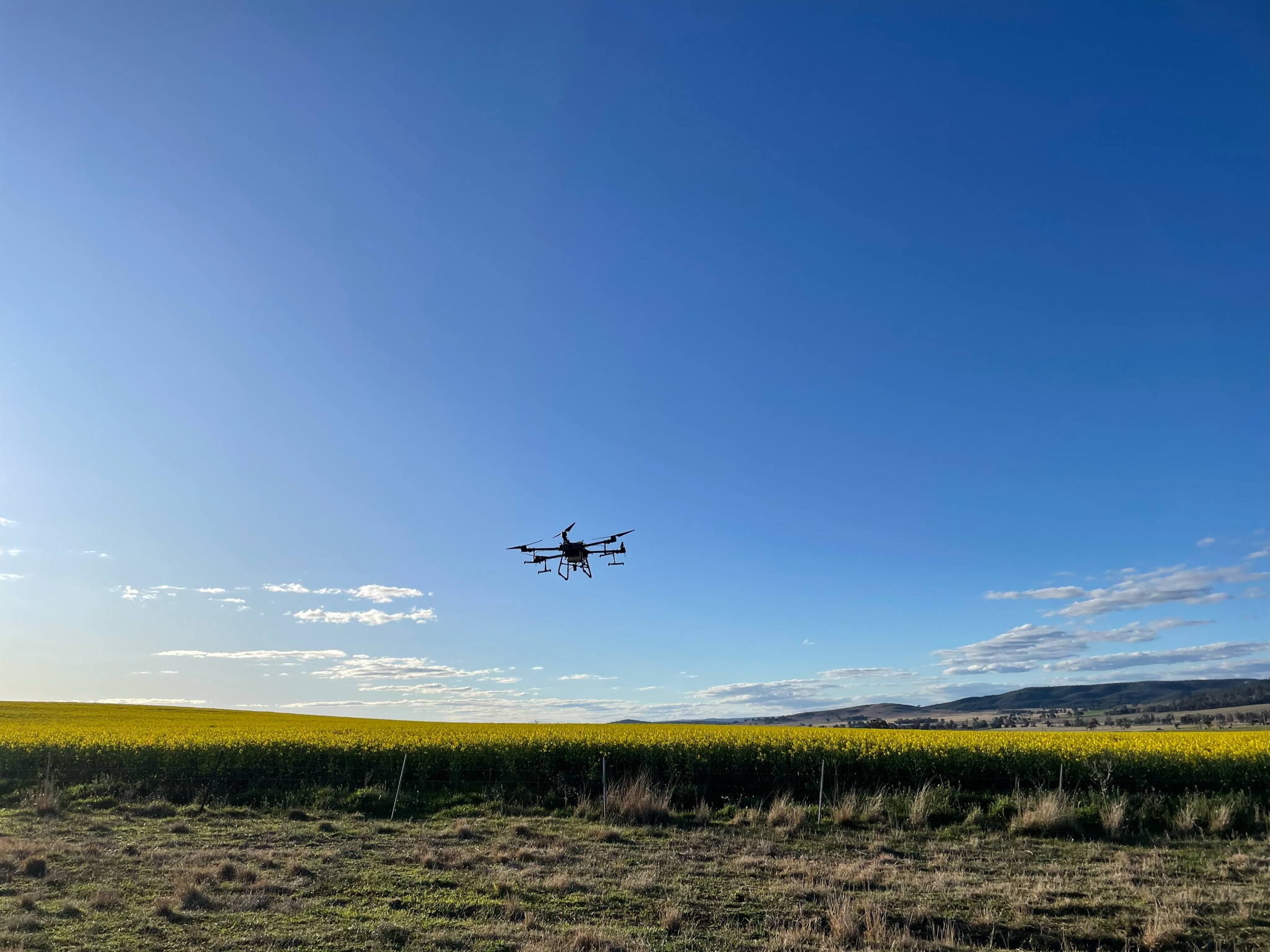
Our drones go beyond mere observation; they actively participate in farm management through precise spraying operations. Equipped with the latest in spray technology, our drones deliver pesticides, herbicides, and fertilizers in a targeted manner, reducing waste and ensuring that each plant receives the care it needs. This precision not only improves the effectiveness of these substances but also significantly cuts down on the runoff that could affect the surrounding ecosystem.
In the pursuit of agricultural excellence, understanding the health of crops down to the smallest detail is imperative. National Drones brings this clarity to agribusiness through high-resolution aerial imaging, which provides farmers with critical insights into their crops’ health and vitality. Our drones, equipped with sophisticated cameras, fly above the fields, capturing detailed images that reveal variances in plant health, signs of pest infestation, and nutrient deficiencies. This data is vital for early detection of issues, allowing for prompt intervention and better crop management.
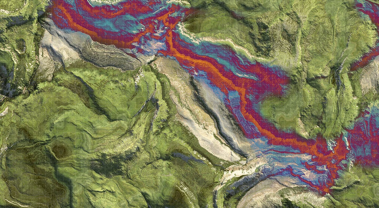
The images gathered are processed to produce vivid, detailed maps of farmlands – known as Normalized Difference Vegetation Index (NDVI) maps – that indicate the density and health of plant life. These visual tools help farmers monitor growth, optimize crop management, and improve yield predictions with a level of detail previously unattainable. By leveraging such high-resolution imaging, farmers can enhance their understanding of crop health across vast areas with precision and ease, making informed decisions that lead to healthier crops and increased productivity.
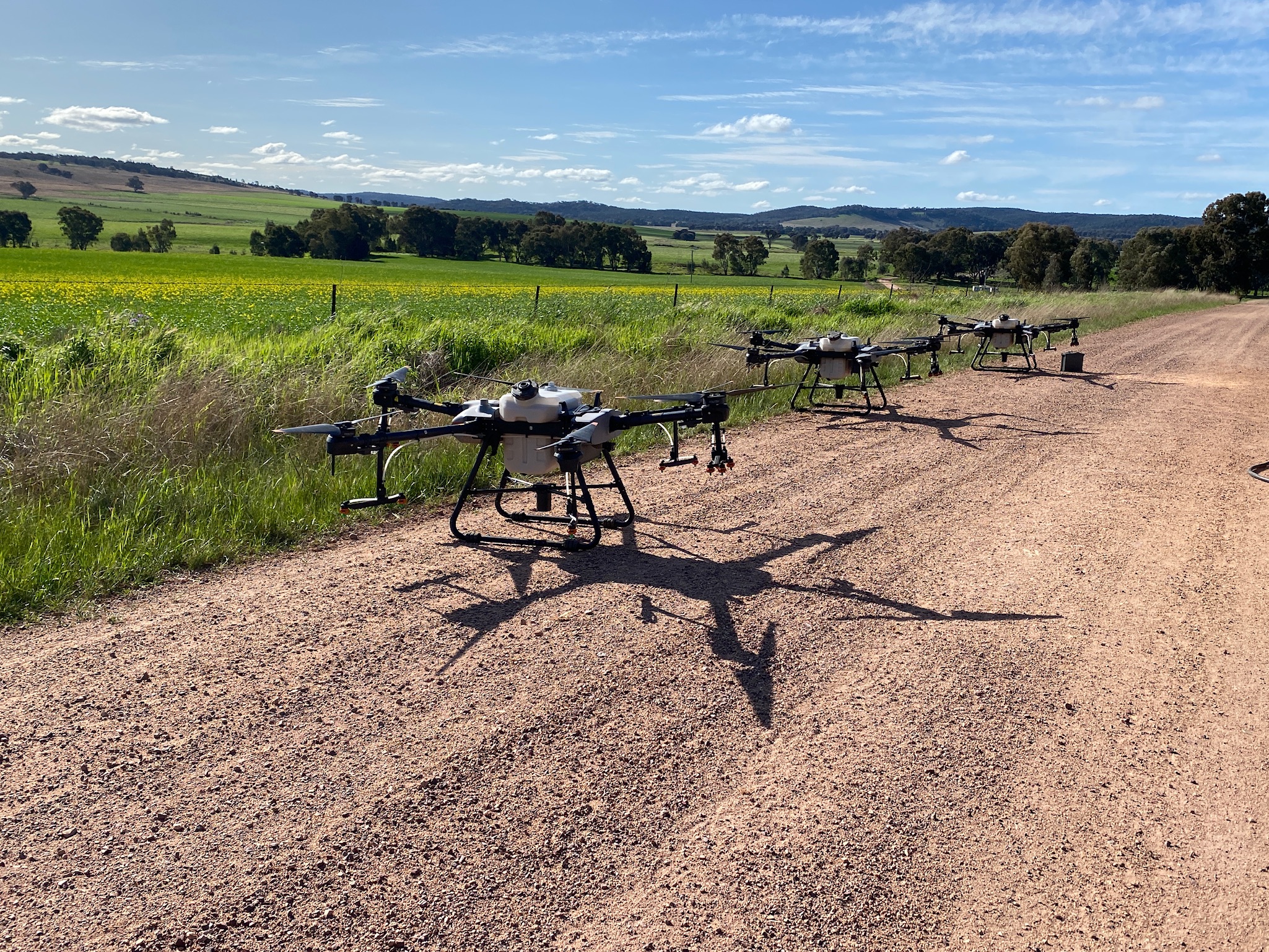
SmartData Platform SmartData SoftwareNational Drones takes agricultural spraying operations to new heights with drone technology that enables precise application of treatments to specific areas in need. This method, known as spot spraying, stands in stark contrast to the traditional blanket approach. Rather than treating an entire field uniformly, our drones target areas with pinpoint accuracy, applying pesticides, herbicides, and fertilizers only where they are needed. This targeted approach significantly reduces chemical use, leading to cost savings and minimizing the environmental impact.
The benefits of spot spraying extend beyond economic and ecological advantages. By applying treatments only where necessary, farmers can avoid over-saturating plants, which can lead to better growth and higher yields. Furthermore, by sparing unnecessary exposure to chemicals, beneficial insects and soil microorganisms are preserved, promoting a healthier and more sustainable farm ecosystem. With spot spraying, National Drones not only optimizes resource use but also supports the well-being of the entire agricultural environment, ensuring that every drop of spray contributes to the success of the crop.
Through these advanced applications of drone technology, National Drones provides farmers with the tools to understand and nurture their crops with unprecedented precision, ushering in a new era of smart, sustainable agriculture.
To discuss your agricultural requirements or our SmartData platform – simply contact us using the form below