
Drone Powerline Inspections
28 August 2023
Safer, efficient inspections that reveal the condition of your network. We capture high-resolution visual, thermal and LiDAR data, turn it into actionable evidence, and help you prioritise what matters.
Discuss your inspection program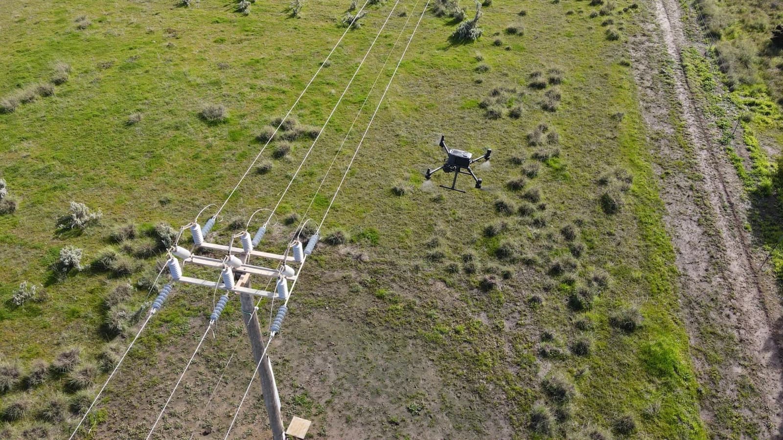 Field capture
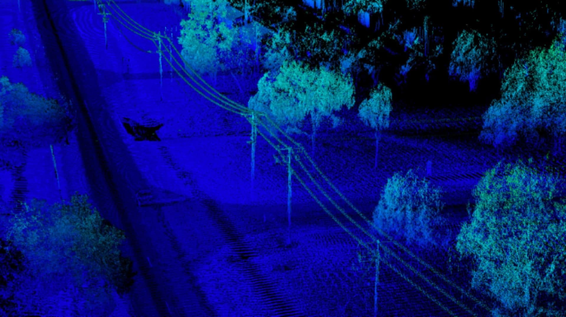 LiDAR intelligence
From inspection to action
Inspect
Capture detailed visual, thermal and LiDAR data across the corridor safely and efficiently.
Understand
Reveal asset condition, conductor geometry, vegetation proximity and terrain context.
Act
Deliver georeferenced findings your team can use to prioritise maintenance and manage risk.
Corridor intelligence
See more. Know more. Risk less.
Move from a visual record of the corridor to measurable 3D evidence.
- Conductor sag
- Vegetation clearance
- Structure position
- Corridor terrain
Why inspect powerlines?
Protect network reliability before faults become failures.
Australia's electrical network crosses vast distances and diverse environments. Regular, data-rich inspections help you identify issues early, manage risk and maintain reliable supply.
- Weather — Wind, rain, hail, lightning and extreme heat
- Vegetation — Trees and branches growing into clearance zones
- Corrosion — Salt air, industrial pollutants and moisture
- Wildlife — Birds nesting on structures or contacting conductors
- Ageing — Deterioration of poles, crossarms and insulators
- Mechanical damage — Vehicle strikes, falling trees and construction activity
Drone inspections reduce the need to work at height or near energised conductors while producing a repeatable record for maintenance and compliance.
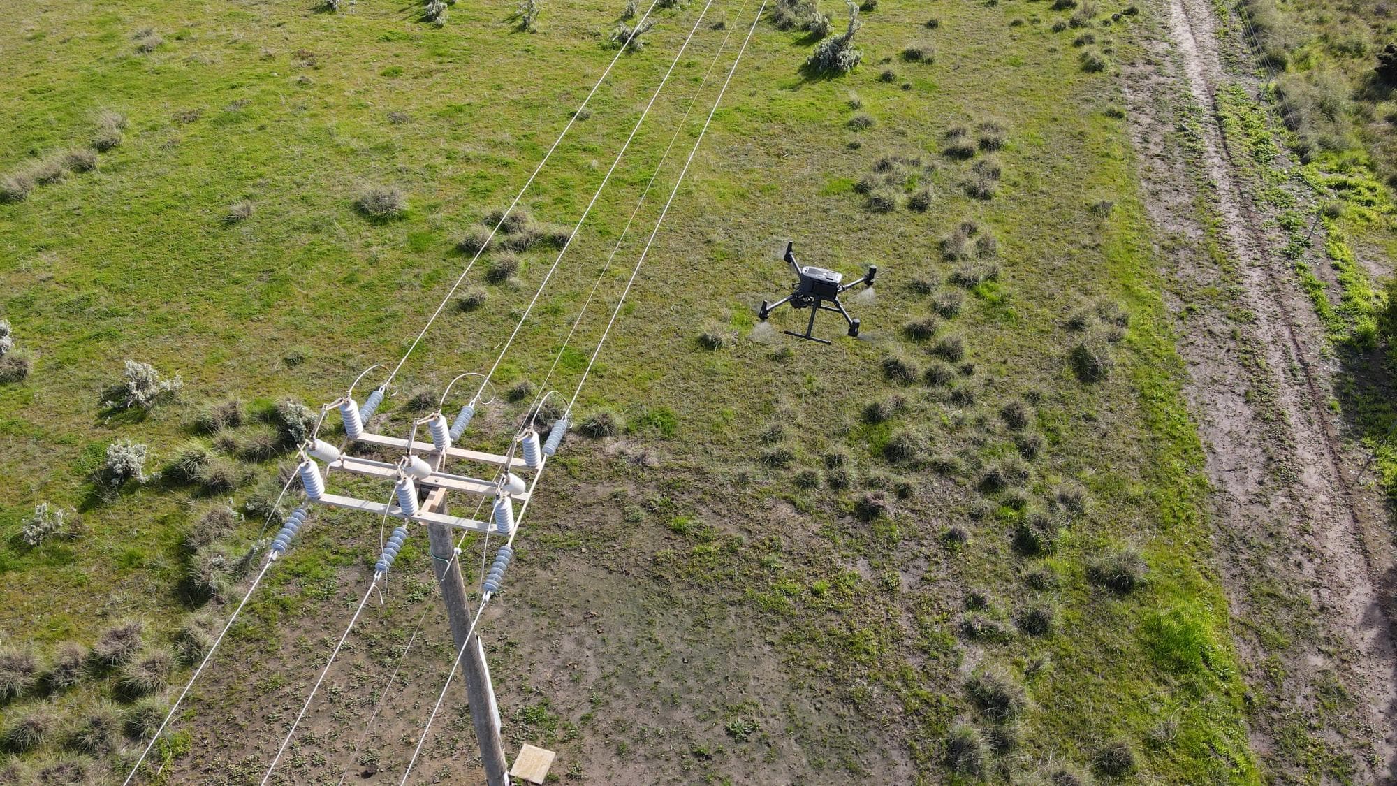
Capture, measure, understand
See every detail in its context.
Combine detailed imagery with thermal capture and LiDAR analysis to reveal what is hidden from the ground and understand it in 3D.
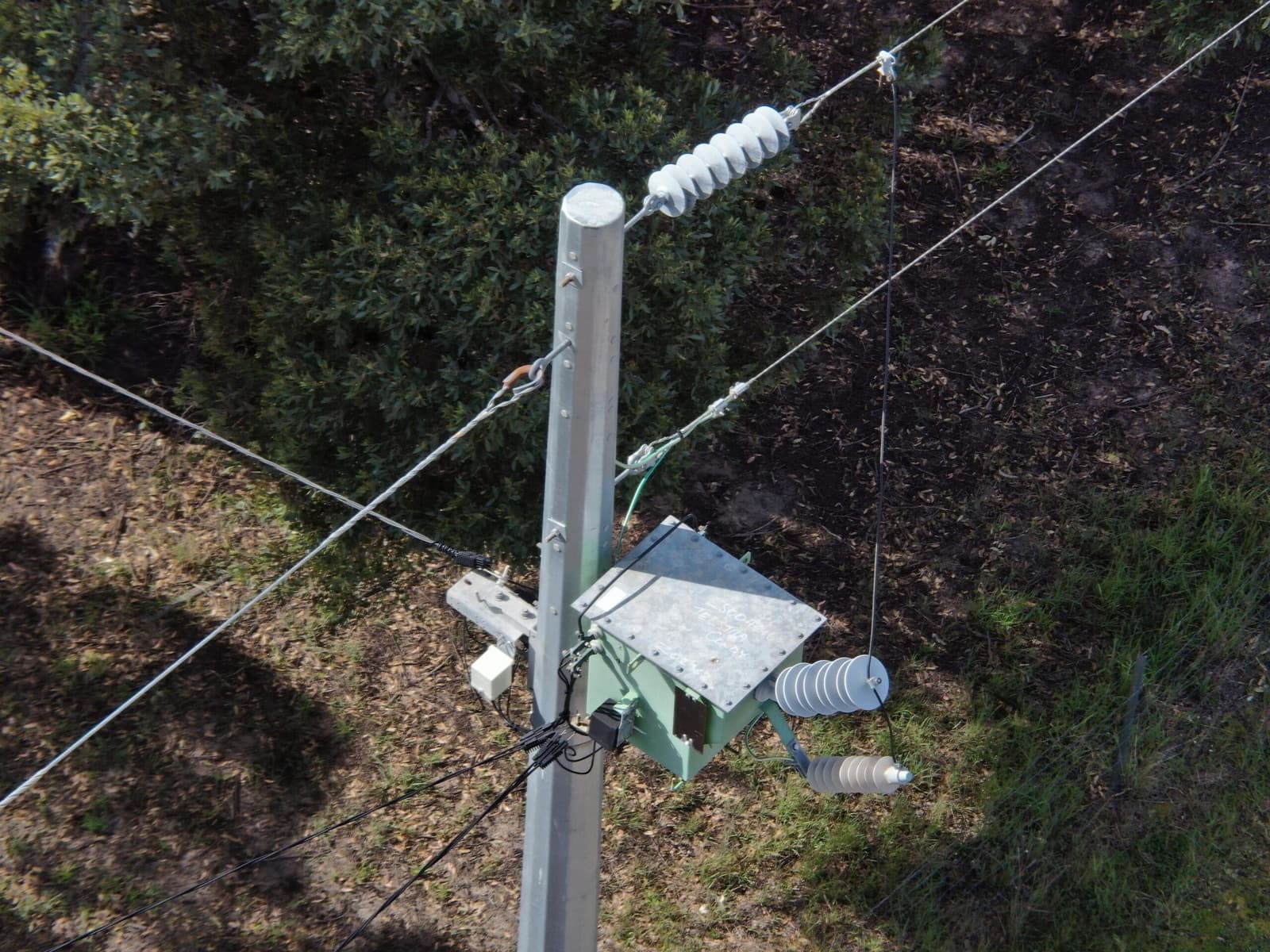
Visual inspection
Detailed imagery reveals the condition of poles, crossarms, insulators, conductors and hardware.
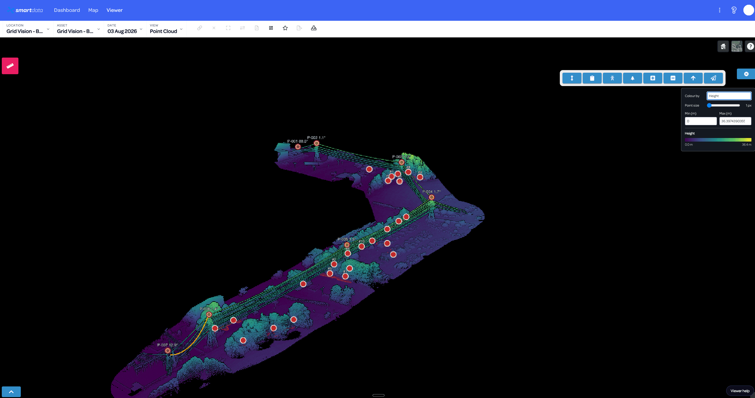
LiDAR height analysis
Height-coloured point clouds make conductor geometry, structure lean and terrain relationships measurable.
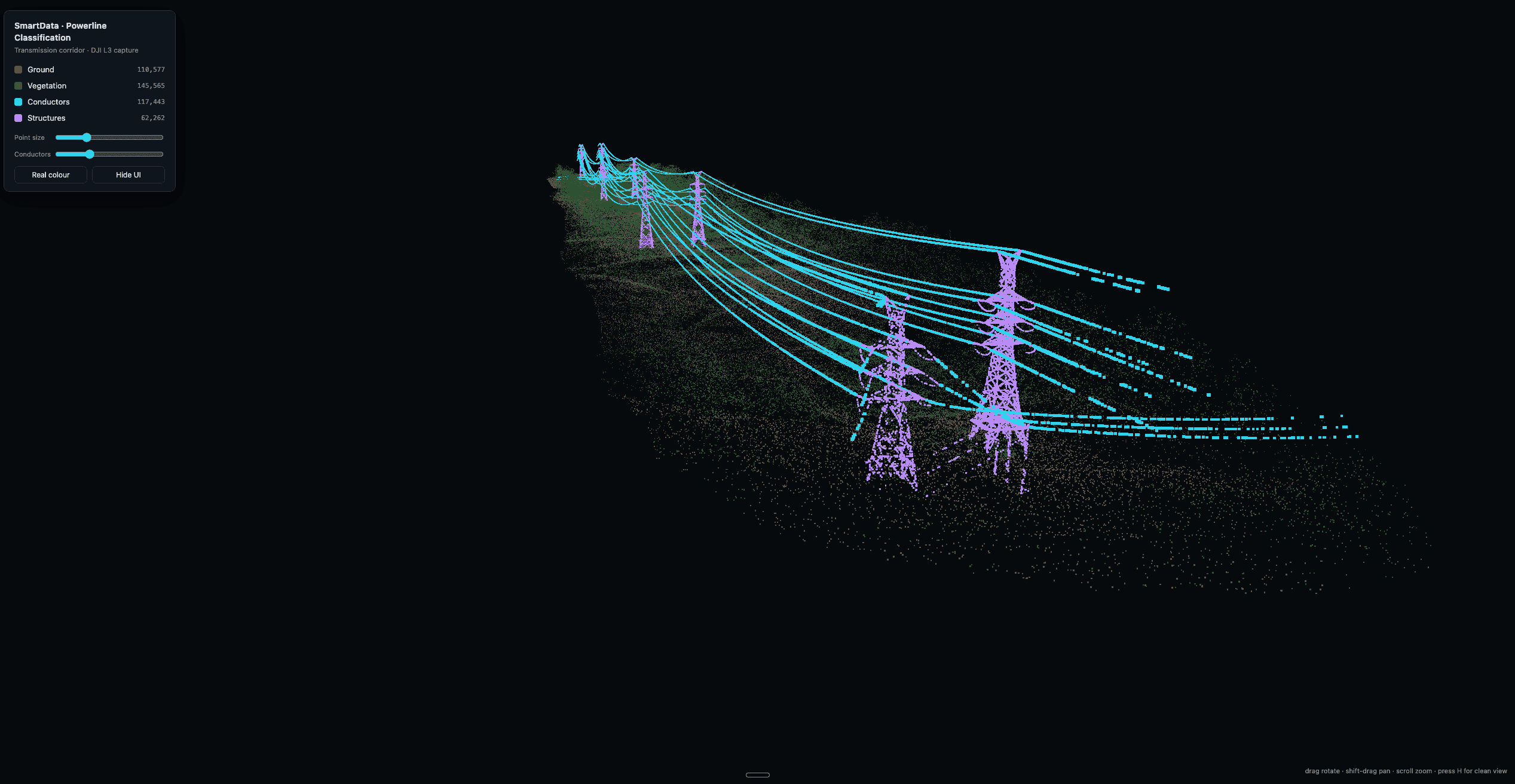
Classified corridor data
Classified conductors, structures, vegetation and ground turn a dense point cloud into usable network evidence.
From data to decisions
Put inspection evidence to work in SmartData.
SmartData brings imagery and LiDAR together so your team can explore the corridor, measure clearances, review findings and move from capture to action with confidence.
Georeferenced findings
Measurements and 3D context stay aligned to the asset location.
Integrate with your systems
Outputs can support GIS and asset-management workflows.
Track condition over time
Consistent data supports maintenance planning, reporting and review.
Related case study
Powerpole inspection
Compare a 25,000-pole distribution program with a multi-site power pole and vegetation assessment that used RGB, thermal and LiDAR data.
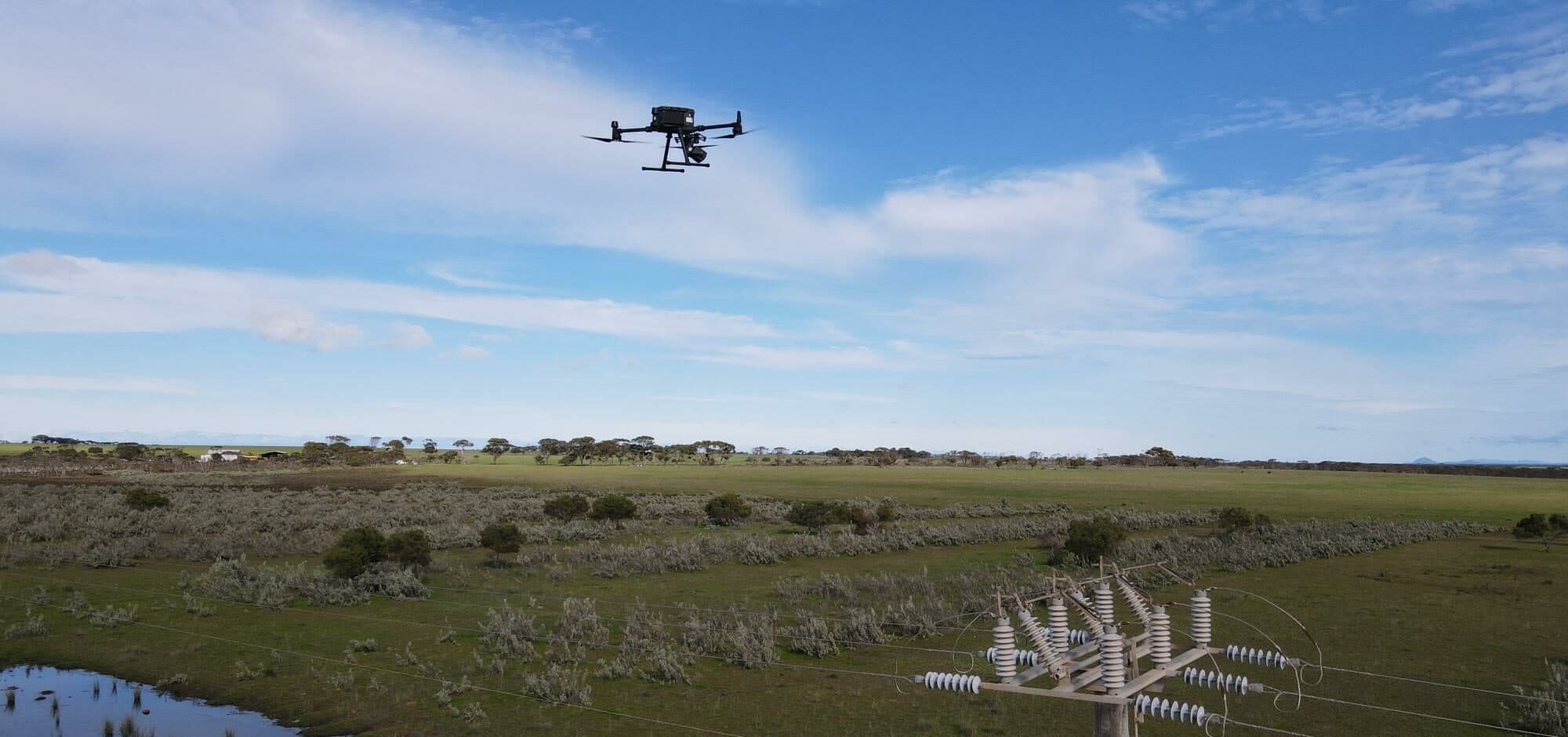
Ready to talk about your network?
We'll help you design an inspection program that fits your assets, environment and maintenance priorities.