
Plan the treatment programme
Translate nominated treatment areas into practical flight blocks, mobilisation plans, and a repeatable field workflow.
Queensland biosecurity case study
National Drones supported state-government fire-ant work across approximately 5,000 hectares, combining aerial baiting operations with a dedicated reporting workflow.
~5,000
hectares in the supplied project scope
3
connected delivery workstreams
1
consolidated reporting view
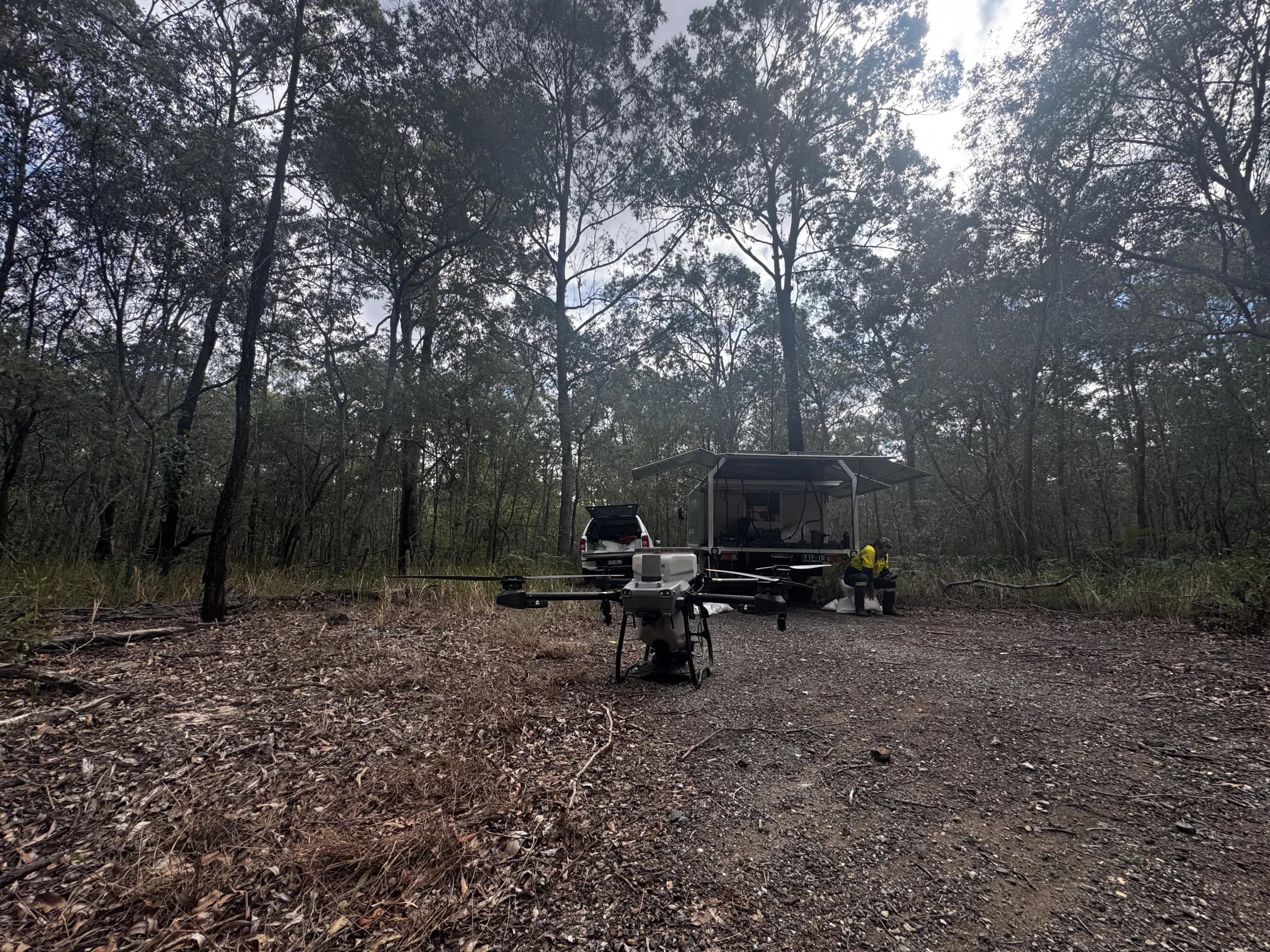
National Drones application team mobilised for field delivery in Queensland.
The programme need
Large-area baiting brings together treatment planning, mobile field teams, aircraft, site controls, and records from many operating areas. For this Queensland programme, the supplied scope covered approximately 5,000 hectares.
National Drones supported the aerial baiting work and built a reporting dashboard to make programme information easier to review. A separate Fire Ant Model app workflow was also prepared to support aerial surveillance activity.
Connected delivery
Three connected workstreams created a practical pathway from planned areas and field activity to consolidated reporting.
Translate nominated treatment areas into practical flight blocks, mobilisation plans, and a repeatable field workflow.
Use drone application teams across varied operating environments while retaining the records needed for programme reporting.
Bring treatment status, mapped areas, and field records into a dashboard designed for programme-level review.
Field delivery
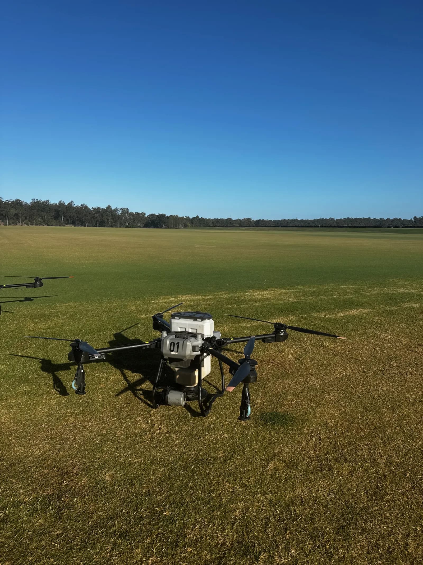
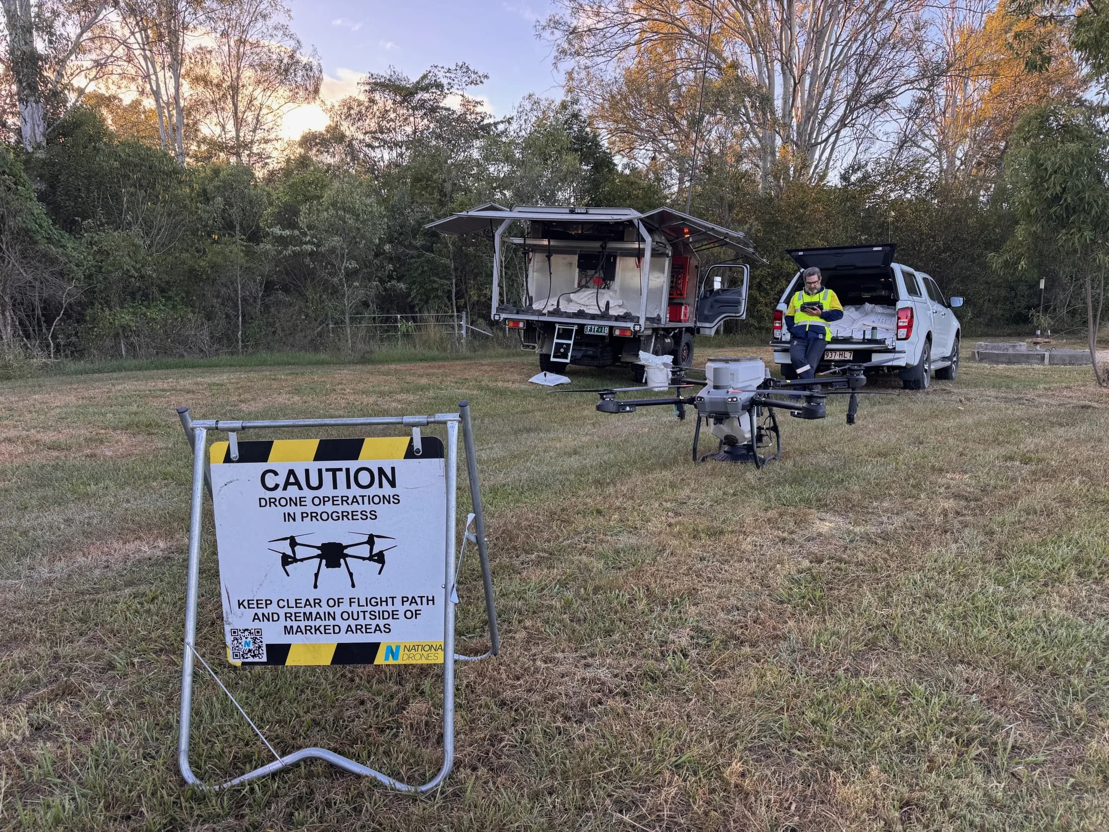
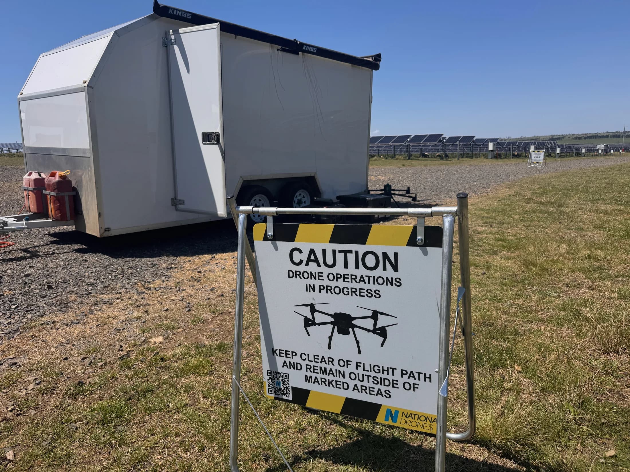
Treatment areas ranged from open turf to bushland and active infrastructure environments. Mobile support vehicles, prepared aircraft, controlled operating areas, and clear field records helped the same delivery method move between those conditions.
Close view of the field setup
Aerial footage showing the mobile support vehicle, two application aircraft, and the operating area prepared for delivery.
The operating footprint in context
A wider approach shows how a compact field team can establish within a large treatment area while keeping the support footprint contained.
Programme reporting
The reporting dashboard connected treatment status and mapped programme information with the underlying site record. Programme users could move from a portfolio view of treatment areas into individual sites, where planned area, completed flight coverage, flight lines, and aircraft records remained visible together.
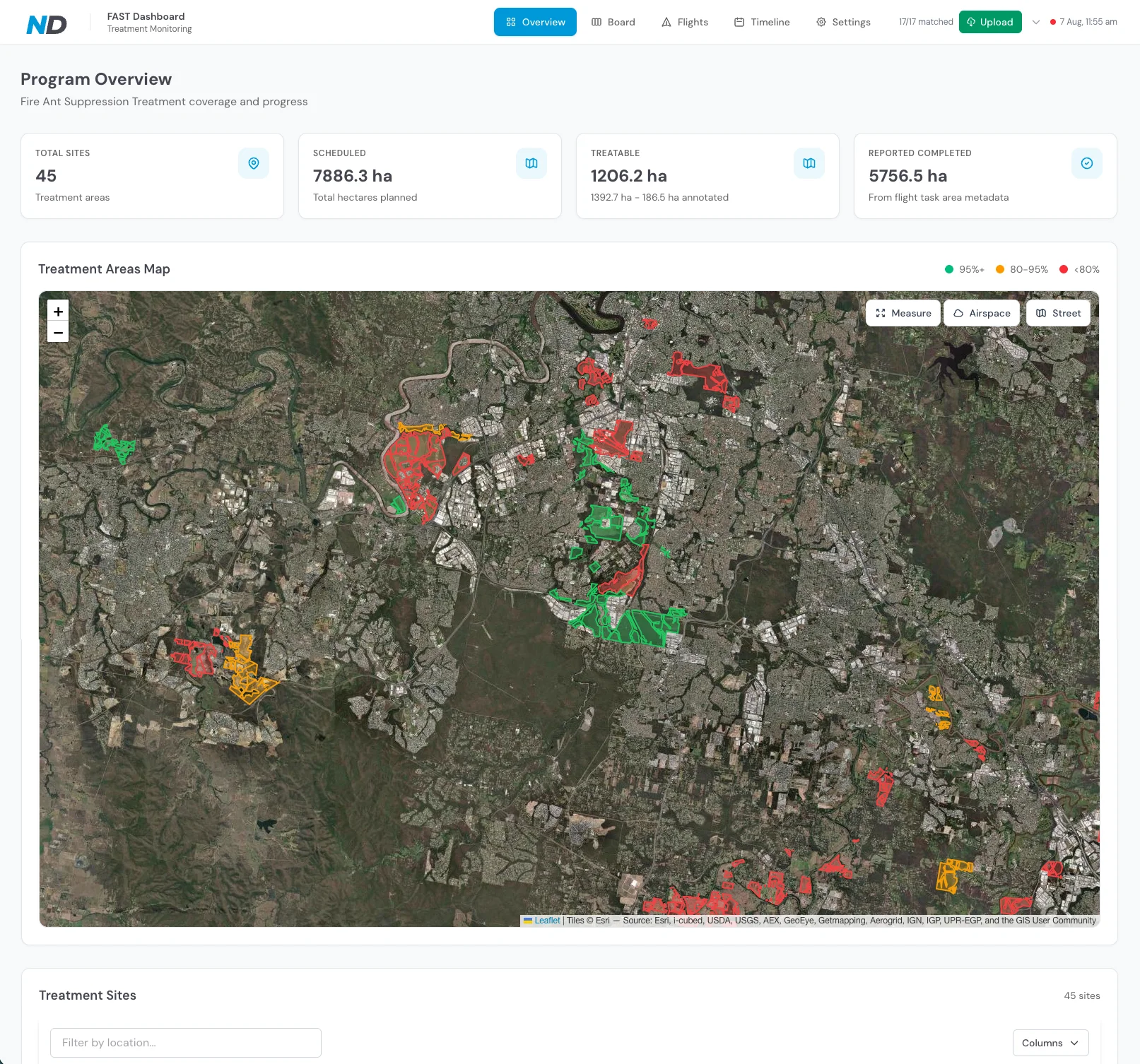
Programme overview
A portfolio-level view brings sites, treatment-area status, and mapped progress into one review surface.
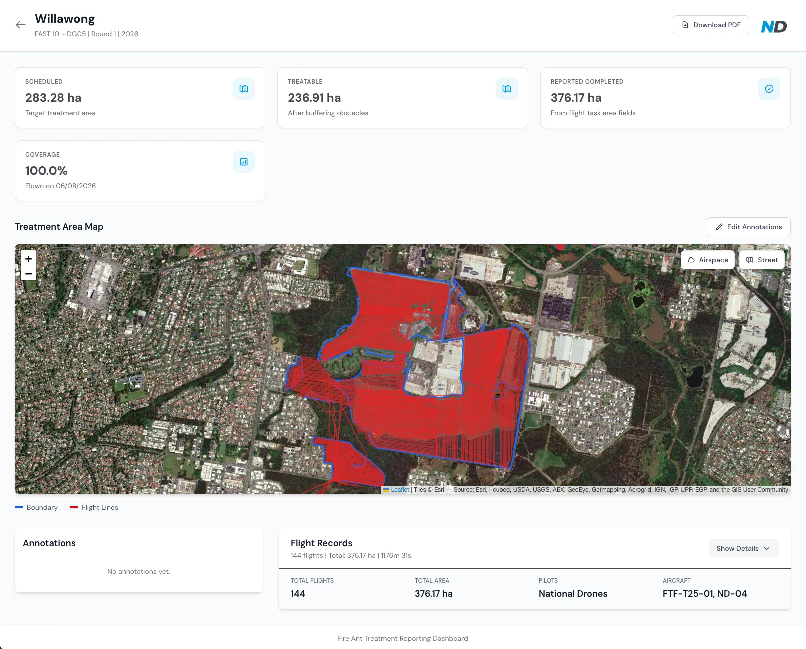
Site-level traceability
Individual site records connect scheduled and treatable areas with completed flight coverage and the underlying flight record.
Dashboard values shown are point-in-time operational records. They are presented to demonstrate the reporting workflow, not as final published programme outcomes.
Separate surveillance support
The Fire Ant Model app was prepared to organise thermal and RGB evidence across a mission. Rather than treating a model score as a confirmed nest, the workflow keeps candidate locations, paired imagery, confidence indicators, and analyst decisions connected for review.
Read about the state programme's thermal fire-ant surveillance work →Collect thermal and RGB imagery with location context retained for review.
Use the model workflow to prioritise thermal anomalies for closer inspection.
Compare each thermal candidate with its paired RGB evidence and site context.
Pass review evidence into the authorised programme process for field decisions.
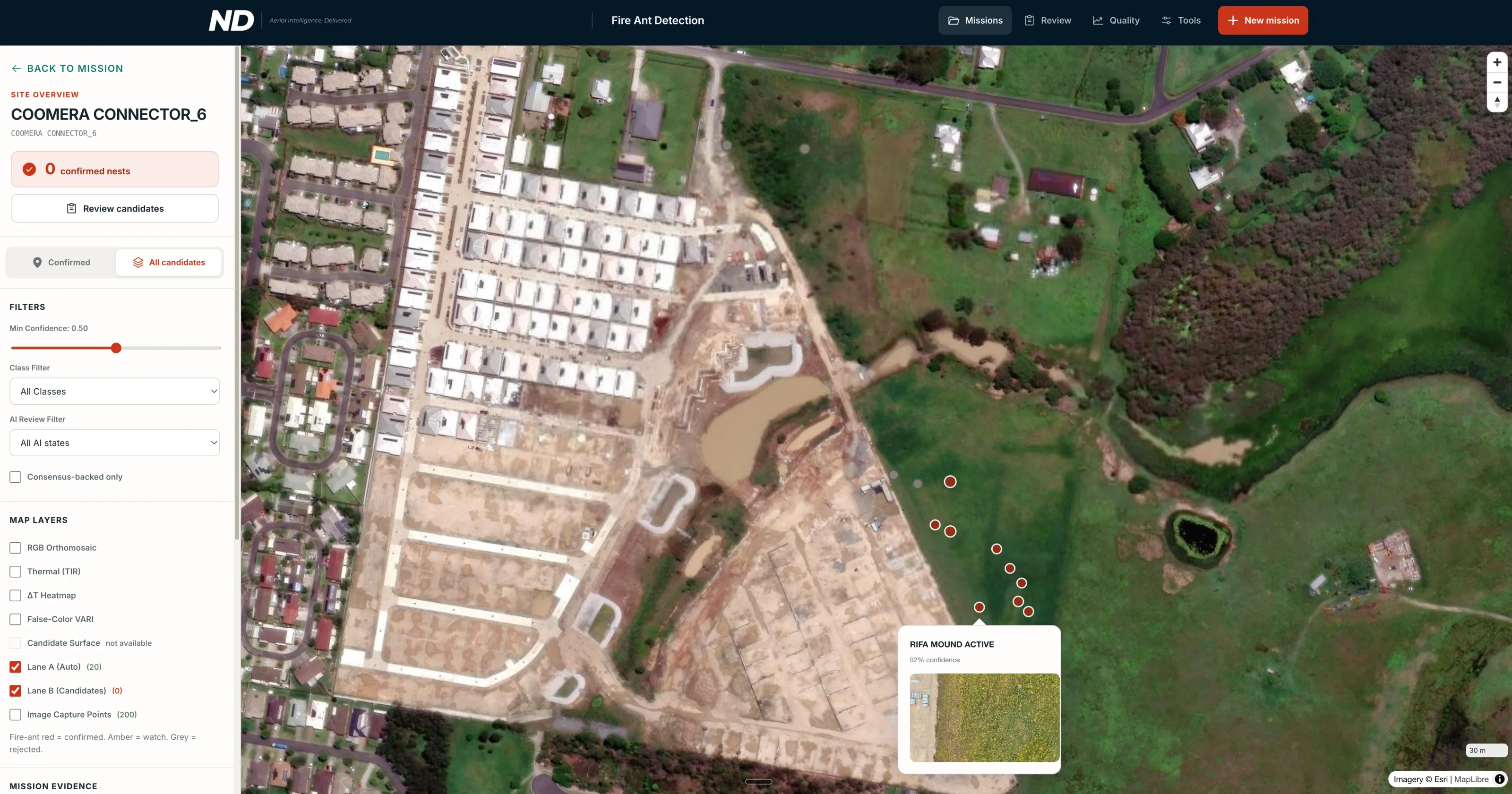
Mission and candidate overview
Candidate markers are organised against the wider site, with filters and evidence layers available for review. A candidate is a prioritised location—not a confirmed nest.
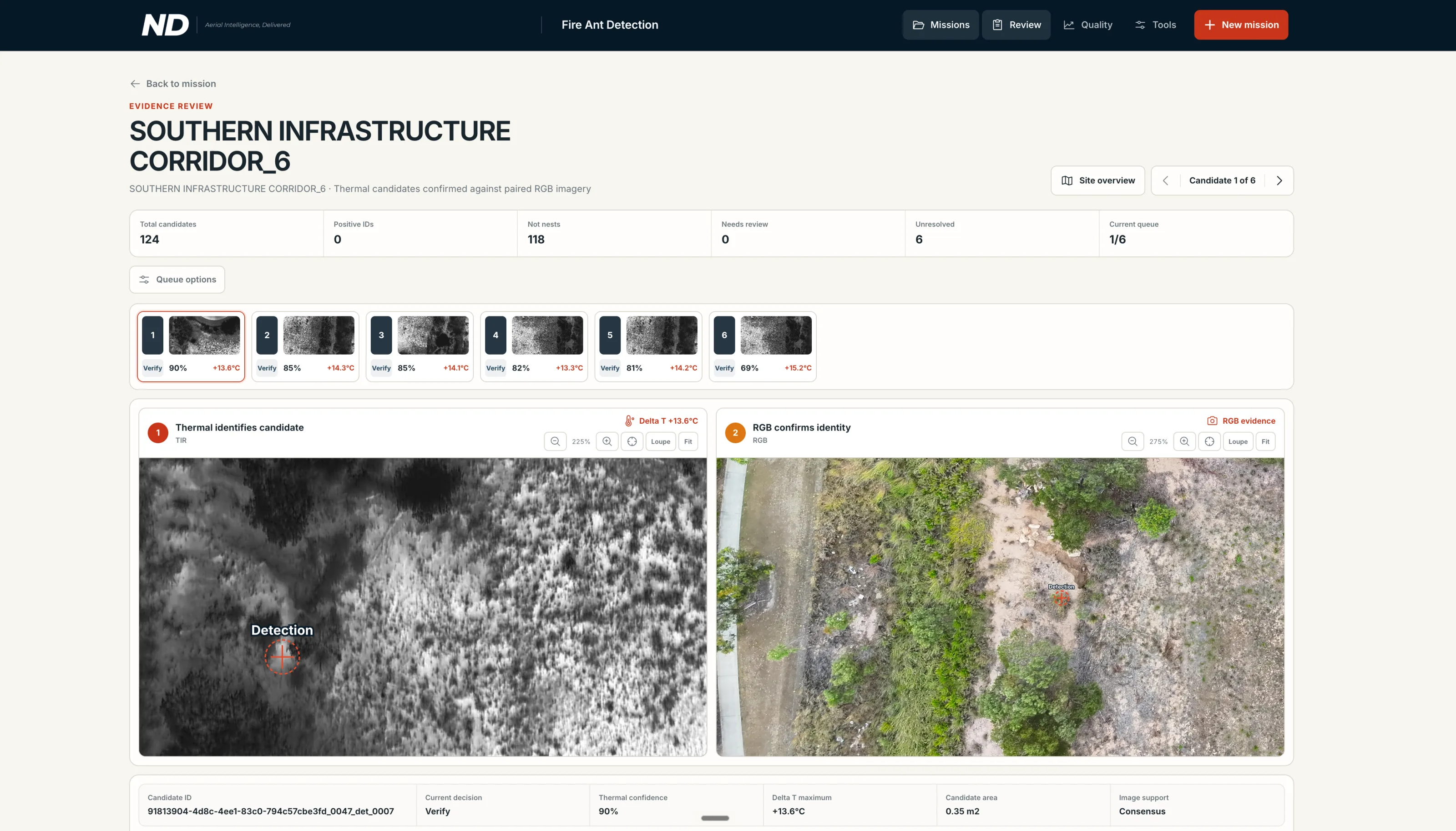
Paired thermal and RGB evidence
The analyst can compare the thermal signature with its RGB context, work through the candidate queue, and retain a review decision with the mission evidence.
Scope boundary
Baiting
Planned aerial application and operational records
Surveillance
Aerial evidence prioritised for review and follow-up
Reporting
Consolidated programme status and mapped context
Field decisions
Remain with the authorised programme process
For Queensland councils
Councils can discuss a programme built around their nominated areas, reporting needs, operating environment, and role within the broader biosecurity response.
Defined treatment areas and a delivery plan suited to local operating conditions
Aerial application records organised for programme reporting
A shared view of progress for operational and programme stakeholders
Optional surveillance-support workflows scoped separately from treatment
Talk with National Drones about your treatment areas, operational constraints, surveillance needs, and reporting requirements.
Queensland programme enquiries are reviewed and scoped individually.