
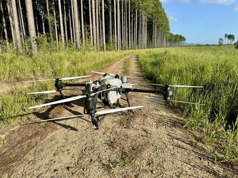
Forestry drone services
Map your plantation, survey terrain beneath the canopy and plan targeted weed control.
What we can help you do
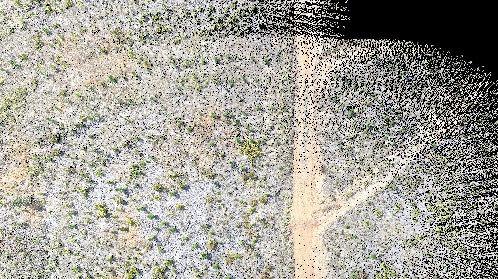
Map plantation blocks
Use georeferenced aerial maps to see access tracks, review block boundaries and plan field work. Repeat the survey to compare changes over time.
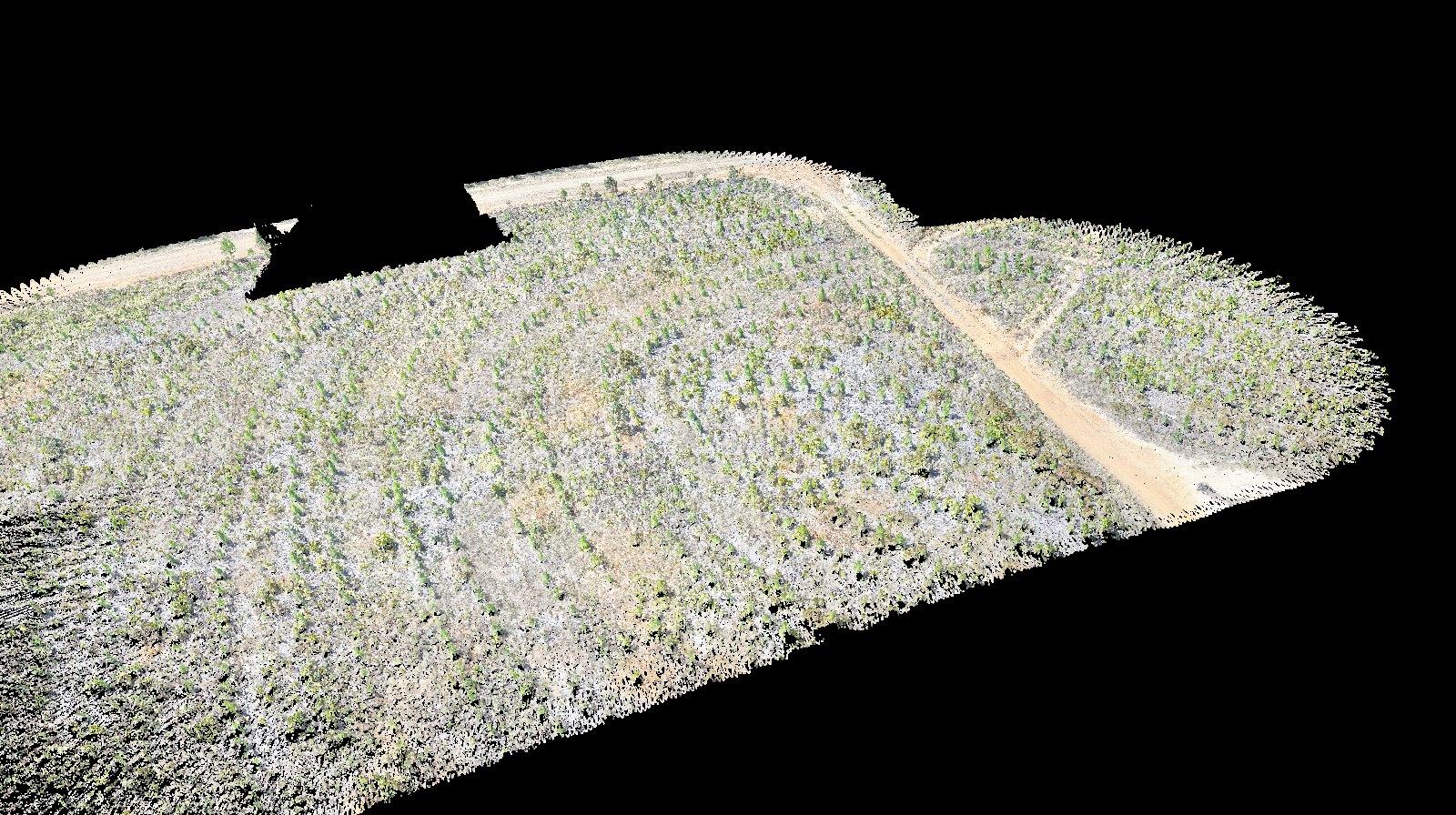
Survey terrain with LiDAR
Capture 3D point clouds and use ground returns beneath the canopy to model slopes and drainage.
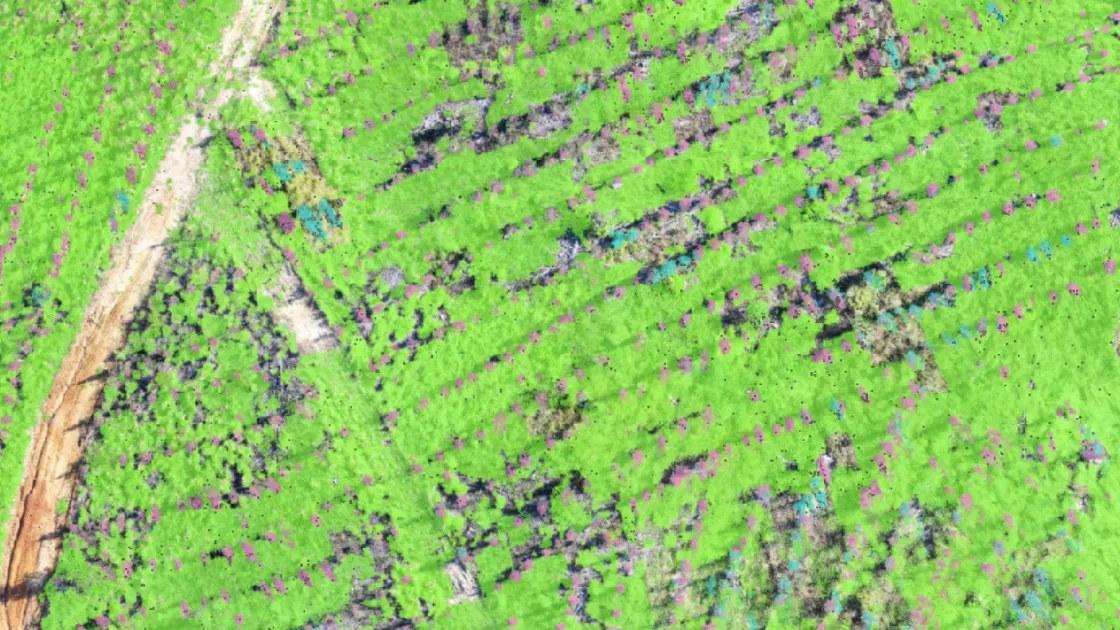
Target plantation weeds
Plan drone spraying for selected zones before or after planting. We review site conditions, treatment boundaries and exclusions with you before work starts.
Forestry Intelligence in SmartData
Explore real trial data, including stem maps, tree measurements and sapling and weed overlays. See what a ForestSmart pilot can give your team.
Tell us about your plantation
Share your block boundary or site location, approximate area and what you need to map, measure or treat. We’ll discuss access, timing and what we can deliver.