
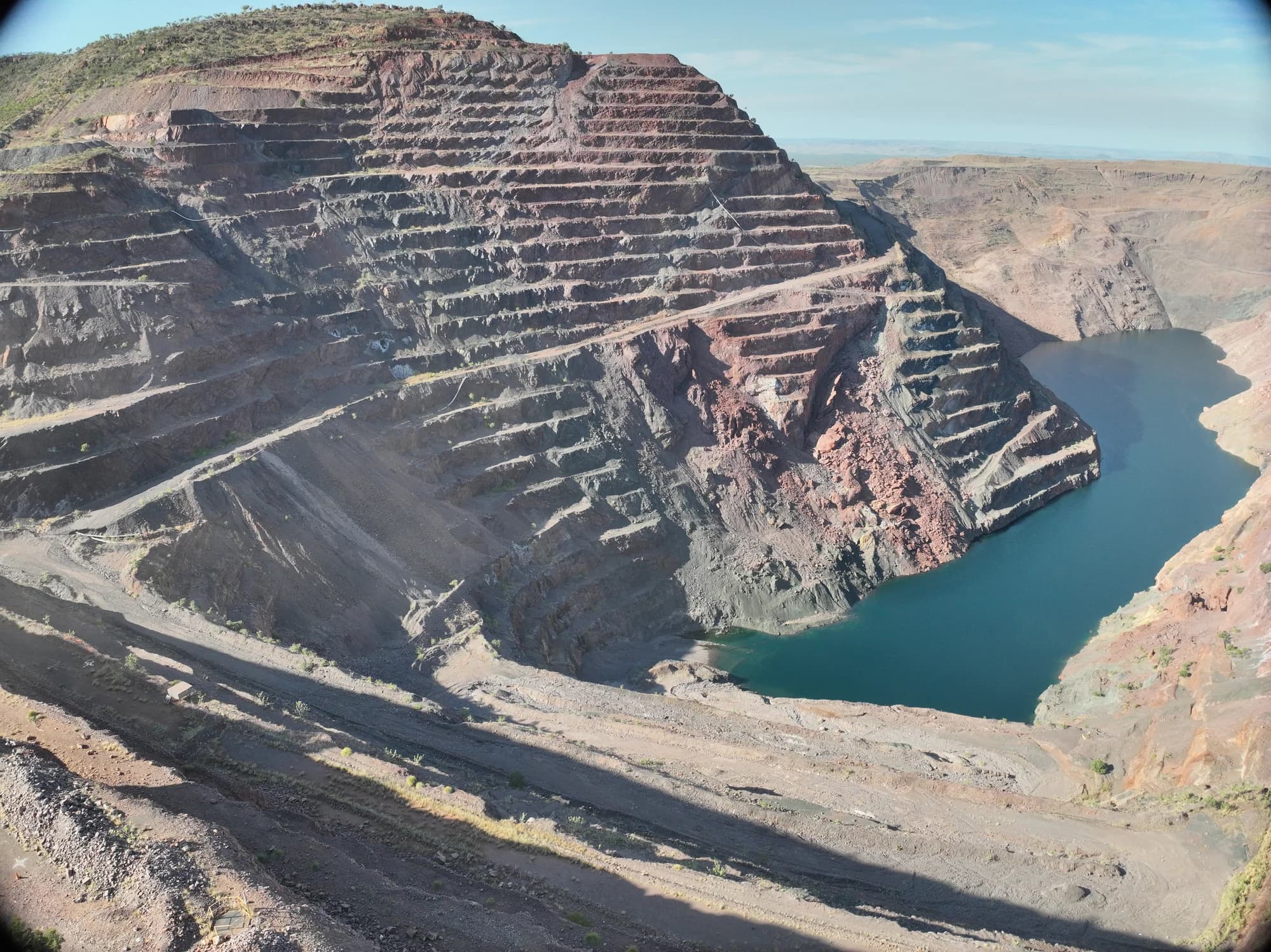
Drone Weed Control for Mine Rehabilitation at Rio Tinto’s Argyle Diamond Mine
Project campaign: July 2025
National Drones combined aerial mapping and drone herbicide application to support mine rehabilitation at Rio Tinto's Argyle Diamond Mine. The July 2025 campaign focused on invasive weeds in rehabilitation areas and around the AK1 pit, using both blanket spraying and targeted treatment.
The work brought together an updated aerial view of the site, planned application methods and spatial records of field operations. This gave the project a practical connection between treatment planning, work in the field and the information needed for future weed management.
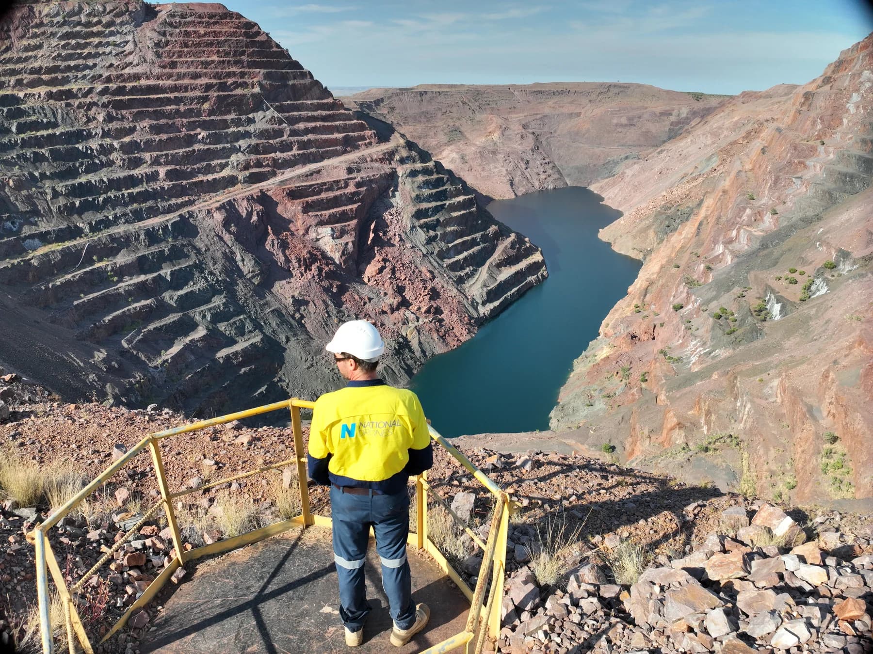
National Drones at the Argyle pit lookout during the July 2025 site campaign.
Weed management within the Argyle mine closure programme
Argyle Diamond Mine is located in Western Australia's East Kimberley region, approximately 110 kilometres south-west of Kununurra. Following the end of mining in November 2020, rehabilitation work has included earthworks, landform preparation and revegetation with native species.
Weed management supports that process. Invasive plants can compete with establishing native vegetation for water, nutrients and space. Controlling infestations helps address this competition while rehabilitation progresses.
The Argyle campaign focused on rubber bush and bellyache bush. Treatment requirements varied across the site: some areas called for blanket application within defined boundaries, while others required individual plants and clusters to be targeted. The methods had to suit the vegetation, terrain and access conditions in each management zone.
The challenge: access, terrain and nearby rehabilitation
Mine site weed control requires careful planning around both environmental and operational constraints. At Argyle, the team worked across rehabilitation areas and the subsidence exclusion zone around the AK1 pit.
Steep topography and dense vegetation affected visibility during targeted spraying. Unstable ground restricted access to some outlying weed patches. Communication blackspots also required the team to reposition ground control stations during operations.
These conditions made site-specific planning important. Treatment boundaries, surrounding vegetation, flight arrangements and communication coverage all needed to be considered before and during the work. Some patches could not be accessed safely and were documented for future attention.
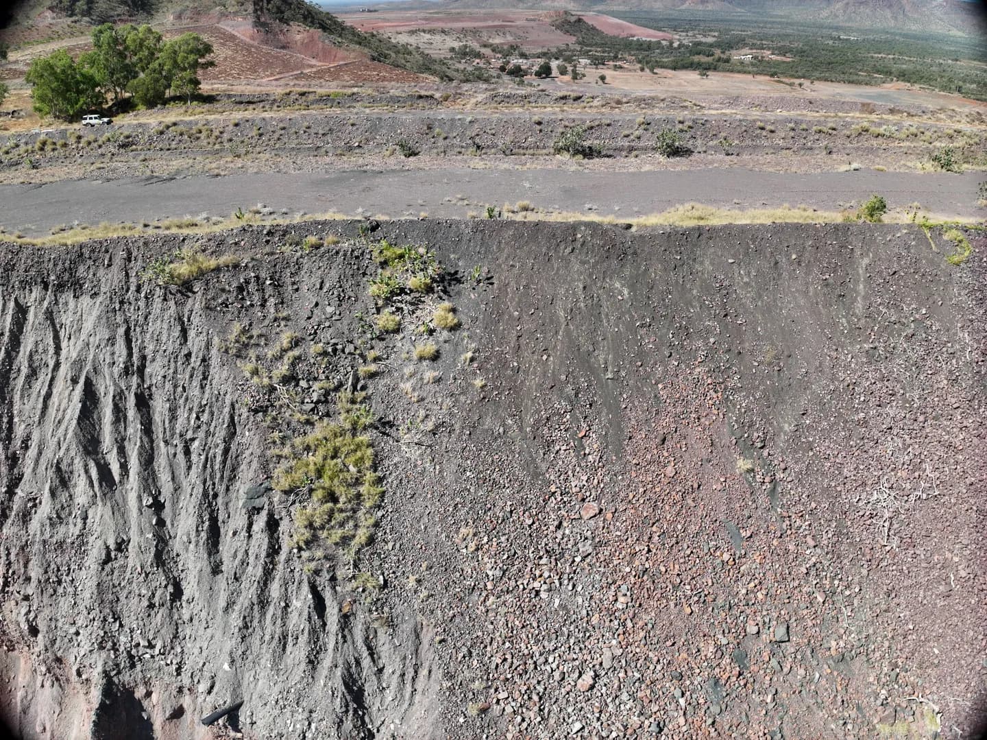
An oblique survey view shows the steep mine face and access road above it.
Aerial mapping to support treatment planning
National Drones used supplied treatment boundaries together with aerial imagery captured during mapping flights to prepare the campaign.
The imagery provided an updated view of terrain and vegetation within the project areas. Combined with the supplied spatial boundaries, it helped the team prepare flight paths and plan application within the designated zones.
This illustrates how drone surveying and mapping can support rehabilitation operations. A mapped view gives the team a common reference for discussing work areas, access constraints and treatment locations.
At Argyle, mapping formed part of the operational workflow. It supported the transition from a defined scope of work to flight planning and field treatment.
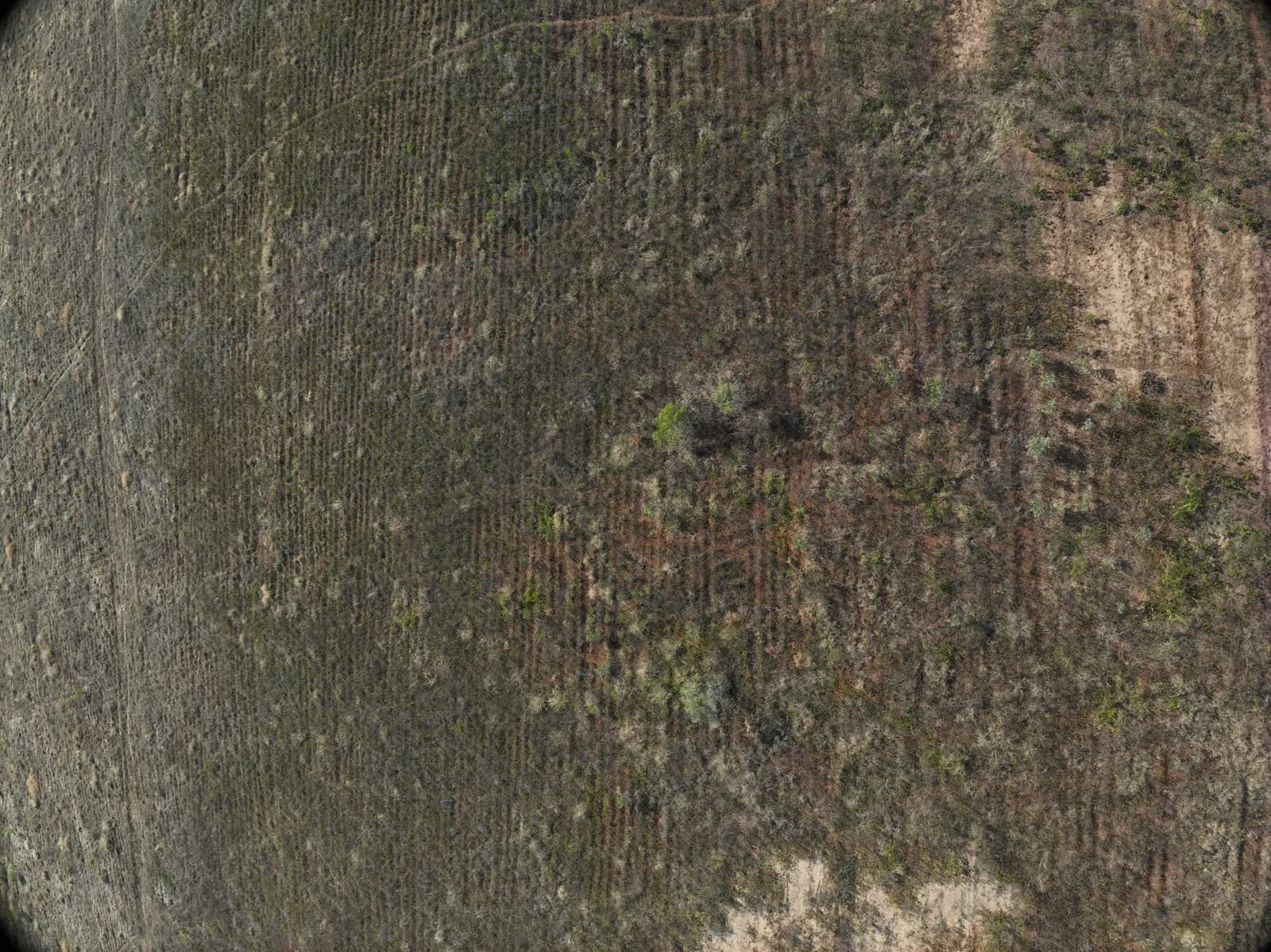
Survey imagery shows vegetation and prepared ground within the project area. This is site context, not a before-and-after assessment of treatment.
Combining blanket spraying and targeted weed control
National Drones deployed multirotor aircraft equipped for herbicide application. The campaign used two treatment approaches, selected according to the infestation and the requirements of each area.
Blanket spraying within defined areas
Blanket spraying was used where the project required application across a defined treatment area. At Alluvial Tailings Dam 4, this approach supported weed management in the rehabilitation area. It was also used for bellyache bush infestations within AK1 Areas 1-4.
The treatment polygons provided boundaries for planning the application. Operations were organised around those areas, with attention to nearby rehabilitation works and vegetation.
Targeted spraying of plants and clusters
Around the AK1 pit and within the subsidence exclusion zone, treatment focused on rubber bush plants and clusters. This required a different approach from spraying an entire management zone.
The distinction matters when describing project scale. A large zone can contain scattered weeds, dense patches and areas requiring no application. Targeted treatment addresses the identified plants within that zone.
The Argyle campaign therefore combined broad-area application with plant-level treatment, rather than applying one method uniformly across the site.
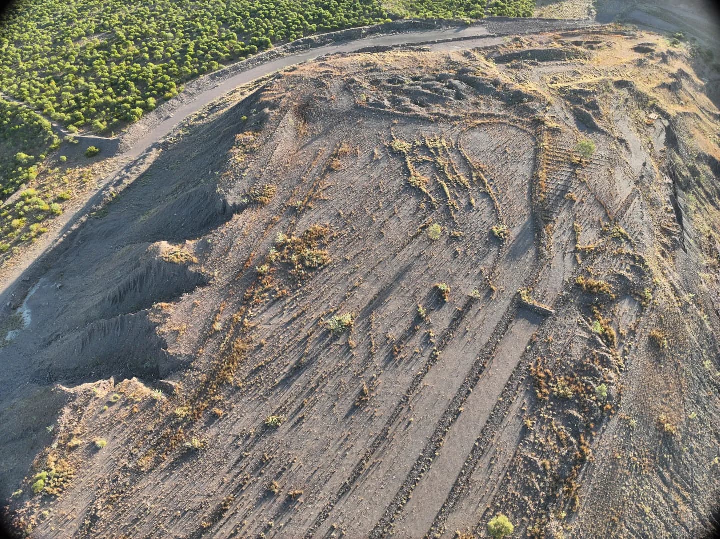
The southern site survey shows prepared landforms, access routes and surrounding vegetation.
Three priority weed management zones
| Management zone | Zone extent | Treatment approach |
|---|---|---|
| Alluvial Tailings Dam 4 rehabilitation area | 88 hectares | Blanket spraying |
| AK1 pit surrounds and subsidence exclusion zone | 220 hectares | Targeted rubber-bush treatment |
| AK1 Areas 1-4 | 17 hectares | Blanket treatment of bellyache bush infestations |
Together, these management zones covered 325 hectares. These figures describe zone boundaries; they are not a measure of uniform spray coverage. In particular, the 220-hectare AK1 zone involved targeted treatment of plants and clusters.
Planning and adapting field operations
The campaign was supported by site inductions, risk assessments and daily pre-start planning. Personnel reviewed weather, flight arrangements, health and safety requirements, and communication procedures.
Field operations also needed to respond to actual site conditions. Where terrain or communication coverage affected a mission, the team adjusted its arrangements. Areas that could not be accessed safely were recorded for future treatment planning.
This ability to adapt is relevant to remote mine rehabilitation projects. A flight plan provides a starting point, while field observations help determine how work can proceed within the site's constraints.
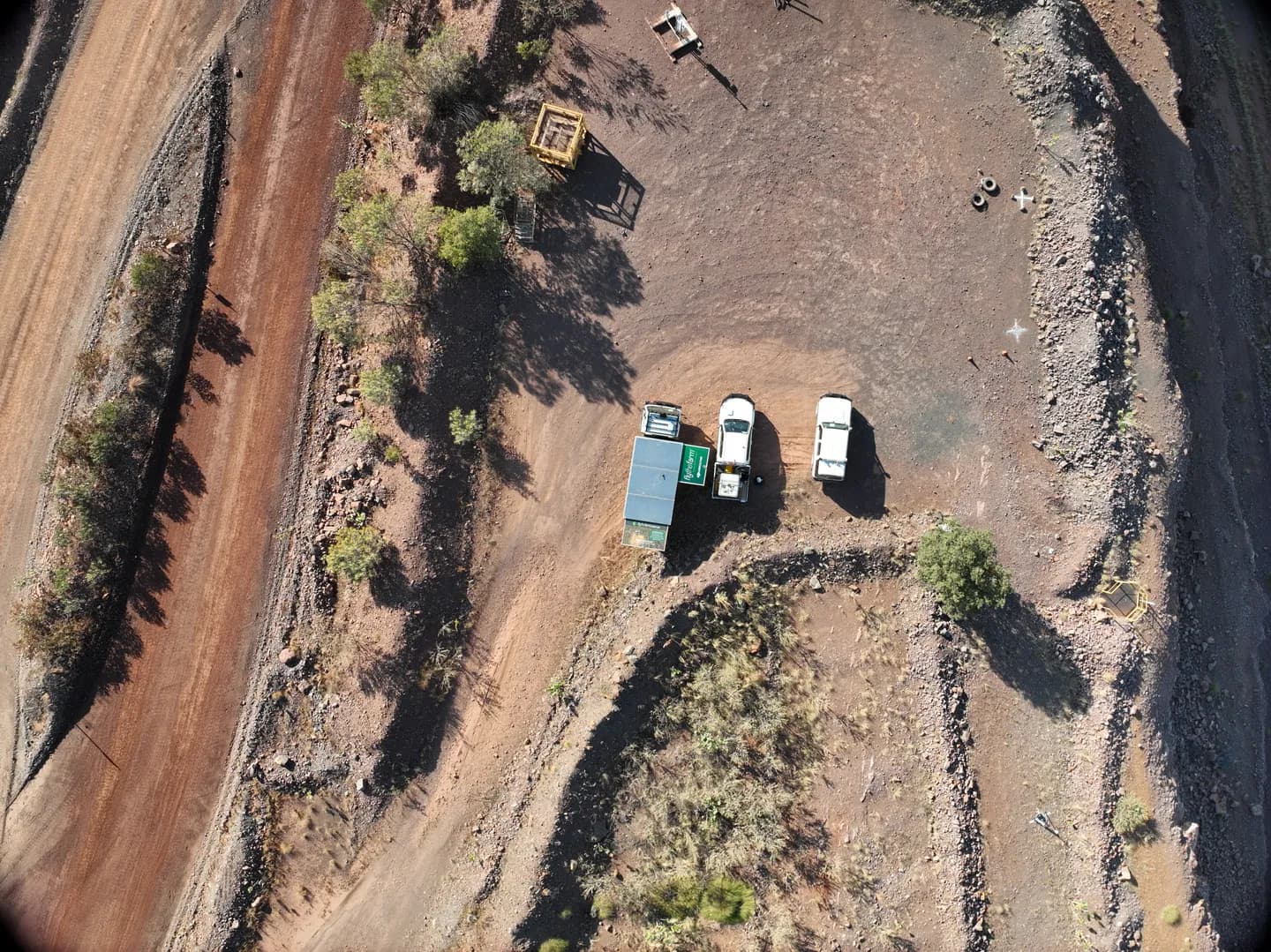
Vehicles parked on cleared ground beside the haul road, captured during the site survey.
GIS records for reporting and future monitoring
The project combined aerial imagery with flight tracks, treatment locations and GIS records. The reporting approach included a weed-control register and spatial data describing field operations.
These records connected the treatment work to locations across the site. They provided a reference for reviewing activity and planning subsequent visits.
Spatial records can support follow-up questions such as:
- Where was treatment undertaken?
- Which areas received blanket application or targeted treatment?
- Which locations require another inspection?
- Where did access constraints prevent work?
For mine rehabilitation teams, retaining this connection between field activity and location supports continuity between campaigns. It also helps future monitoring focus on the areas relevant to the work.
Supporting ongoing mine rehabilitation
The Argyle project demonstrates a practical role for drones within a mine rehabilitation programme: aerial mapping supports planning, spraying addresses weed infestations, and spatial records support reporting and follow-up decisions.
Treatment is one stage in ongoing vegetation management. Monitoring is needed to assess effectiveness, identify regrowth and determine whether further application is required.
By combining mapping, application and field records, the campaign supported Rio Tinto's weed-management work while preserving information for the next stage of rehabilitation.
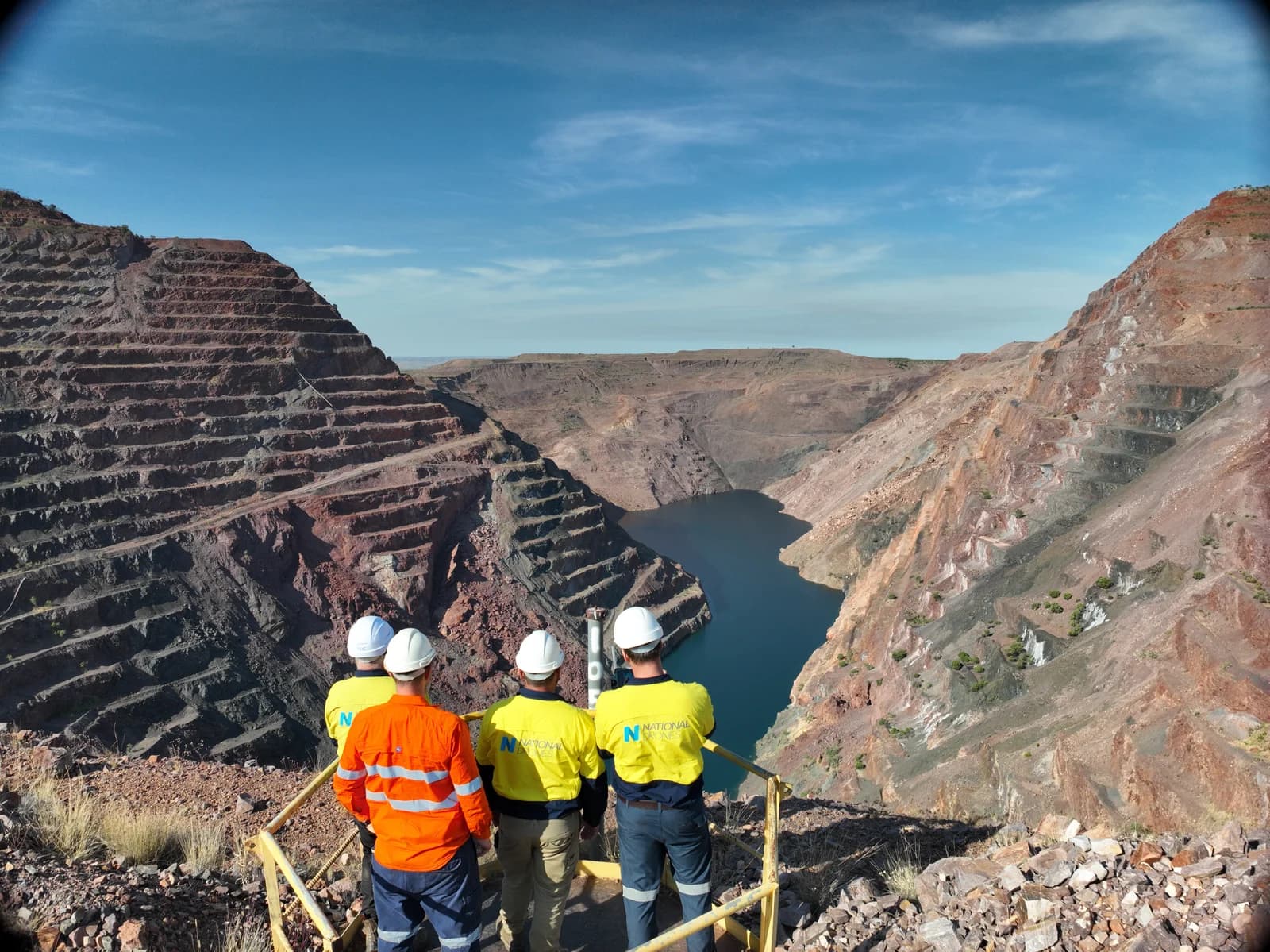
The site team at the Argyle pit lookout. Field planning accounted for terrain, access and communication coverage.
Questions about drone weed control for mine rehabilitation
Can drones treat weeds around restricted mine areas?
The Argyle campaign included targeted treatment within the AK1 subsidence exclusion zone. Operations still depended on site approvals, flight planning, visibility and communication coverage. Some outlying patches remained inaccessible and were documented for future attention.
Why combine mapping with drone spraying?
Mapping provides a spatial reference for planning treatment. Flight tracks and treatment records then help connect field activity to locations that can be reviewed during later monitoring.
Does spraying complete the rehabilitation process?
Weed treatment supports rehabilitation by addressing invasive plants. Continued monitoring, weed management and native revegetation remain part of the wider recovery process.
Discuss your mine rehabilitation requirements
National Drones can help plan drone spraying and weed-control services alongside aerial mapping for your site.
If your project involves rehabilitation areas, difficult terrain or restricted access, contact our team to discuss the treatment scope, operational constraints and reporting requirements.