RBMO - Meteorology
Forecasts, Observations and Weather Hazard Decisions
How to turn forecasts, observations, local signs and weather hazards into a clear go, modify or no-go decision.
Lesson record
- Status
- Current source aligned
- Reviewed
- 2026-05-20
- Source pages
- RePL Study Guide pp. 107-140; Part 101 MOS C10 Schedule 4 Unit 3.
- Reviewer
- National Drones publication review
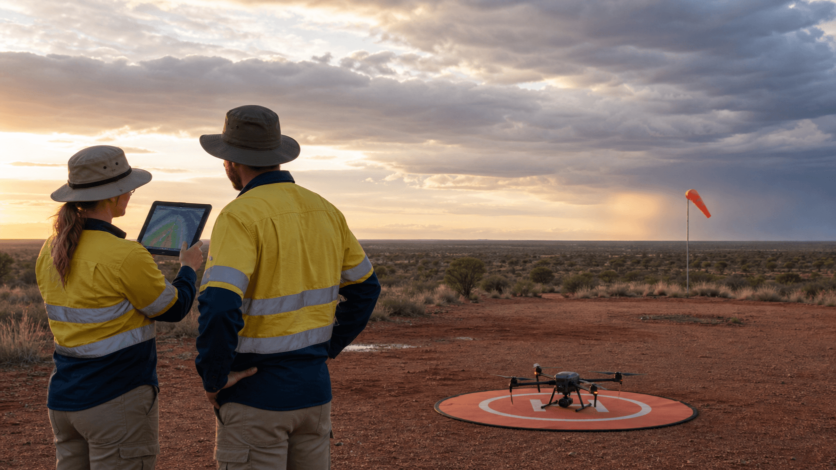
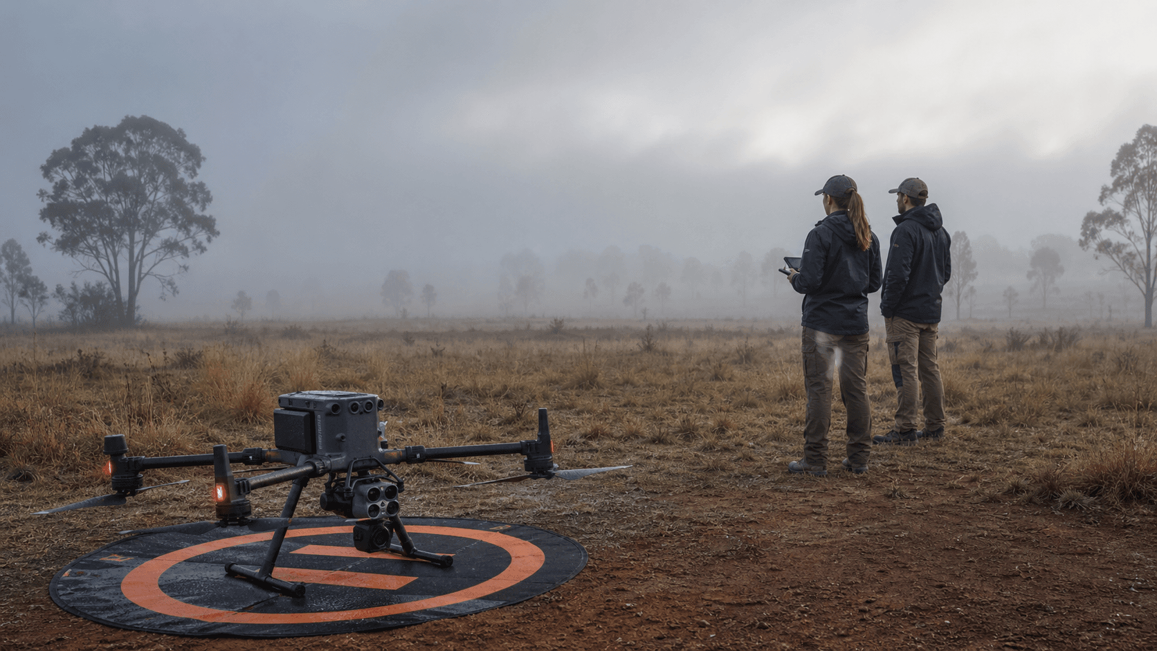
Image provenance: GPT Image 2 conceptual training scene generated 20 May 2026; no operational limits are implied by the image.
Weather is an operating limit
A remote pilot does not read weather to sound clever. The point is to decide whether the aircraft, crew and site still have enough margin to complete the task and recover safely.
For small RPA, the important weather question is practical: what will the wind, visibility, cloud, rain, temperature and local air movement do to control, endurance, VLOS, separation and workload?
- Go when the forecast, site observations, aircraft limits and crew plan all agree.
- Modify when the work can be reduced, delayed, repositioned or shortened without hiding the risk.
- No-go when control margin, visual line of sight, recovery margin or separation is doubtful.
Build the weather picture in layers
Start broad, then narrow. Use the synoptic situation and forecast products to understand the trend, aviation weather products for the operating area when they are available, and site observations to confirm what is actually happening at launch height.
Airservices NAIPS processes meteorological and NOTAM information for pilot briefings, while the Bureau provides aviation forecasts, observations and warning products. For drone work, those sources should sit beside the operator's own site checks and aircraft limits.
- Trend: is the weather improving, steady or deteriorating?
- Wind: mean wind, gusts, direction shifts and terrain or building effects.
- Visibility: haze, dust, smoke, rain, fog, low cloud and slant visibility.
- Hazards: thunderstorms, fronts, showers, strong thermals, windshear or turbulence.
Translate forecast language into decisions
Forecasts and observations usually describe wind, visibility, cloud, weather and pressure in compact aviation language. The study skill is to translate those details into plain operational meaning before the aircraft leaves the ground.
A TAF or weather briefing might point to a later change, but the job may be planned for the hour before that change arrives. That is not a free pass. If the operation has little reserve, a forecast change near the work window should push the pilot toward a shorter job, earlier landing or delay.
- Wind direction and speed tell you launch orientation, drift risk and return-home energy demand.
- Visibility and cloud tell you whether VLOS, obstacle clearance and traffic awareness remain credible.
- Weather groups such as rain, thunderstorms, mist, dust or smoke should be treated as task constraints.
- Changes and temporary conditions matter because drone jobs often operate on small weather margins.
Fog and low cloud can close the site quickly
When temperature and dew point sit close together, the air is near saturation. Fog, mist, low cloud or condensation can form with little warning, especially around dawn, after rain, in low-lying country or near water.
The hazard is not only that the aircraft becomes harder to see. Low visibility also reduces contrast, masks wires and masts, hides terrain cues and makes it harder to judge distance and attitude.
- Be cautious when the temperature-dew point spread is small.
- Look along the actual flight path, not just across the launch area.
- Treat improving visibility as something to confirm, not something to assume.
Inversions can trap haze, smoke and low-level wind
A temperature inversion places warmer air above cooler air near the surface. That stable lid can trap smoke, dust, haze, fog and pollution close to the ground instead of letting it mix upward.
For remote pilots, the practical effect is a visibility and judgement problem. A site may look acceptable nearby while the flight path disappears into a shallow layer of haze, smoke or reduced contrast.

- Smoke and haze can reduce contrast before they fully block the view.
- Valleys, basins and sheltered low ground can hold poor visibility longer than exposed ridges.
- If smoke haze is forecast or visible, check current warnings and local authority information before operating.
Thunderstorm outflow and microburst risk are stop-work hazards
Thunderstorms are not just rain clouds. The Bureau describes key storm parts including updrafts, downdrafts and outflow. Cool air flowing away from a downdraft can spread quickly along the ground, often marked by a shelf cloud, dust, sudden wind shift or sharp temperature change.
A microburst or strong downdraft can produce a sudden burst of damaging wind near the surface. For a small RPA, that can overwhelm control margin, blow the aircraft downwind, reduce endurance and make recovery unpredictable.
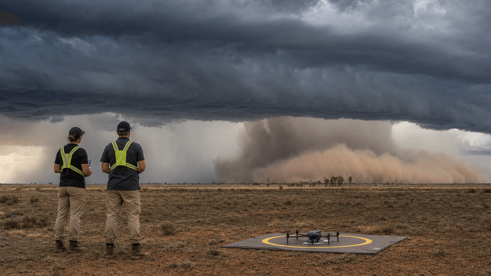
- Watch for towering cumulus, cumulonimbus, shelf cloud, virga, dust walls and rapid darkening cloud.
- Treat lightning, thunder, gust fronts, hail, heavy rain and sudden wind shifts as no-go signals.
- Do not wait for rain to reach the launch point before recovering the aircraft.
Make the decision explicit
A professional weather decision should be traceable. The pilot should be able to say what was checked, what was observed on site, what limit or trigger would stop the job, and when the next weather review will occur.
This is study guidance, not legal advice. Always verify current CASA, Bureau and Airservices information, follow the operator's procedures, and apply the aircraft manufacturer's environmental limits.
- Record the weather sources checked and the time of the check.
- Brief the crew on weather triggers: gusts, visibility, cloud, rain, storm development or smoke.
- Set a review point during the job, especially when the forecast trend is changing.
- Land early when the weather picture starts moving toward the limit.
Practice Questions
Why should a remote pilot compare forecast information with site observations?
- The forecast gives the trend, while the site shows local wind, visibility and obstacles affecting the actual operation.
- Site observations always replace official weather information.
- Forecasts are only used after landing.
- Local observations only matter for crewed aircraft.
Answer: The forecast gives the trend, while the site shows local wind, visibility and obstacles affecting the actual operation.
A good weather decision uses both the broader weather picture and the operating site's real conditions.
What does a small temperature-dew point spread suggest for a drone operation?
- Fog, mist, low cloud or condensation may become more likely.
- Thunderstorms are impossible.
- The aircraft will use no battery reserve.
- VLOS limits no longer apply.
Answer: Fog, mist, low cloud or condensation may become more likely.
When air temperature is close to the dew point, the air is near saturation and visible moisture can form.
Why can an inversion be a problem even on a calm morning?
- It can trap smoke, haze, fog or dust near the surface and reduce visibility along the flight path.
- It guarantees perfectly clear air at drone height.
- It removes the need to monitor wind.
- It only occurs above airline cruising levels.
Answer: It can trap smoke, haze, fog or dust near the surface and reduce visibility along the flight path.
A stable inversion can hold poor visibility near the ground where small RPA operate.
A thunderstorm is nearby, with a shelf cloud and dust moving toward the site but no rain at the launch point yet. What is the safest decision?
- Land early or do not launch because outflow and gusts can arrive before the rain.
- Launch quickly before the rain starts.
- Ignore the shelf cloud if the aircraft is small.
- Fly higher to get above the storm outflow.
Answer: Land early or do not launch because outflow and gusts can arrive before the rain.
Thunderstorm outflow, gust fronts and downdrafts can create sudden low-level wind hazards before rain reaches the site.
Next step after study
Complete your Remote Pilot Licence training
The free study guide is a strong theory foundation. To actually be issued with a RePL, students still complete approved training, practical flying and assessment with a certified provider.