Mapping the Future: A Large Area Drone Survey Covering 250 km²
Paving the Way — Mapping Future Mine Sites Using BVLOS Drone Technology
National Drones partnered with Silvertone and QEM to conduct an extensive aerial survey spanning 250 square kilometres, creating detailed orthomosaic and digital elevation models. The mission aimed to map boundary and fence lines, assess flood planning strategies, and establish groundwork for future development and conservation efforts.
Efficiency in the Field: The National Drones Approach
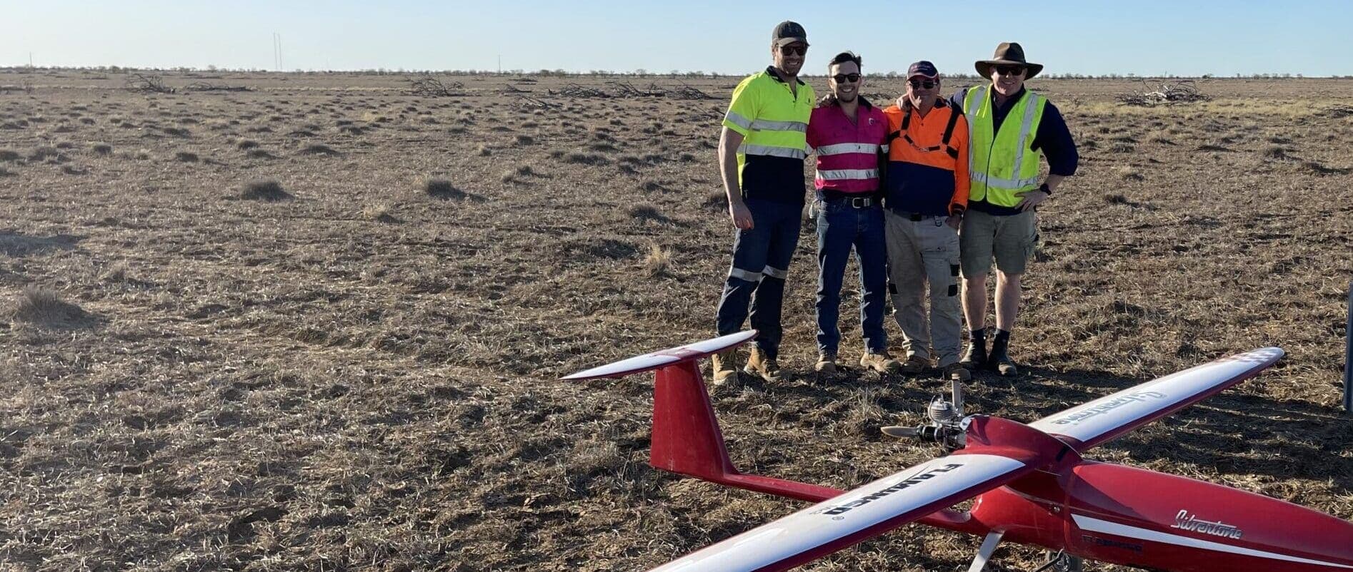
Over several days, National Drones and Silvertone deployed the Flamingo MKIII technology across QEM's property. This rapid deployment would have been unfeasible with traditional survey methods. Data captured was processed to yield orthomosaic and digital elevation models.
Strategic Insights: Beyond Boundaries and Elevation
The orthomosaic provided high-resolution mapping for precise boundary delineation. The digital elevation model offered topographic information essential for flood planning and environmental management, forming a foundational dataset for informed decision-making.
Challenges of BVLOS and Regulatory Collaboration
Conducting an extensive 250km² aerial survey presents unique challenges, particularly when the operation involves Beyond Visual Line of Sight (BVLOS) flights. The drone operated at distances up to 40km from the base station. Primary challenges involved ensuring safety and regulatory compliance, as BVLOS operations rely on advanced navigation and collision avoidance systems rather than direct pilot visual management.
Traditional drone flights operate within the pilot's line of sight, allowing direct visual management. BVLOS operations demand rigorous checks and precise planning and execution.
Regulatory Work with CASA
National Drones worked with the Civil Aviation Safety Authority (CASA) to secure approval for the QEM project. The team engaged in thorough planning and risk assessment, providing detailed flight plans, safety protocols, and contingency measures adhering to CASA's guidelines for BVLOS flights.
CASA approval demonstrated trust in National Drones' operational capabilities and set precedent for future BVLOS operations, advancing drone technology potential in industrial applications.
The Challenges
Surveying 250km² is demanding due to vast scale requiring comprehensive terrain capture. Traditional ground-based methods are impractical due to time, labour, and financial resource requirements. Challenges include navigating varied and rugged terrain, ensuring consistent data quality across extensive distances, coordinating logistics, and contending with environmental factors like weather changes.
National Drones circumvents these issues through aerial surveying expertise, minimising human exposure and expediting data collection while providing high-resolution imagery and topographical data vital for accurate analysis.
The Solution
The formidable challenge was met with an innovative aerial solution. The Flamingo MKIII was designed to cover extensive areas quickly, reducing weeks of work to mere days. The comprehensive solution involved meticulous pre-flight planning ensuring complete coverage without redundant overlaps.
Drones captured high-definition images and generated accurate digital elevation models, seamlessly stitched together creating a cohesive orthomosaic with 6-centimetre pixel resolution. This accelerated the survey process while producing extremely high-quality data with detailed topography and environmental feature insights.
Drone use minimised environmental impact by reducing ground vehicles and equipment, lessening soil disruption and preserving the natural ecosystem state. The data provided an accurate property representation before any construction or mining activities, creating a point-in-time record.
The Methodology
National Drones employed sophisticated methodology capturing overlapping photographs processed together creating comprehensive precise land representation. Photogrammetry relies on overlapping imagery building depth and dimension into models, with calculated optimal overlap ensuring quality data and reasonable capture timeframe, documenting every survey inch with redundancy ensuring accuracy.
Ground control points (GCPs) across the survey site anchored aerial data to real-world coordinates, enhancing photogrammetric analysis precision. These reference markers calibrated and validated aerial data against known ground positions. GCP collection took approximately four days across this area size.
Given project scale and aircraft communication necessity, maintaining robust drone communication was paramount. A thorough viewshed analysis prior to deployment mapped areas where radio communication could be compromised due to terrain obstructions, ensuring reliable communication links throughout operations.
The Results
The aerial survey delivered high-definition deliverables exceeding project requirements. Achieving 6cm resolution, 2D orthomosaics provided exceptionally detailed bird's-eye property views, enabling precise boundary delineation and informed decision-making. Operations generated comprehensive 3D outputs including digital elevation model (DEM) offering valuable topographic information with volumetric accuracy and textured 3D mesh bringing the landscape to life for stakeholders.
Datasets were made accessible through SmartData cloud-based platform, ensuring easy availability for QEM's team for immediate analysis providing secure collaborative environment for various departments. By leveraging SmartData, QEM integrated new aerial insights directly into existing workflows, enhancing operational efficiency and planning capabilities.
Benefits of Large-Scale Drone Survey for QEM
- Increased visibility: An up-to-date condition assessment and record of the mining tenement prior to any construction works taking place
- Safety: Cost efficiencies utilising drones allows for more regular assessments
- Asset lifecycle monitoring: Higher quality of data compared to traditional mapping methods (GSD of 7cm per pixel)
- Environmental: A drone uses less than 1% of the fuel that a full size aircraft would use on the same project