Precision from Above: Drone Inspections Elevate the Sydney Rail Network's Asset Safety and Integrity
Project Overview
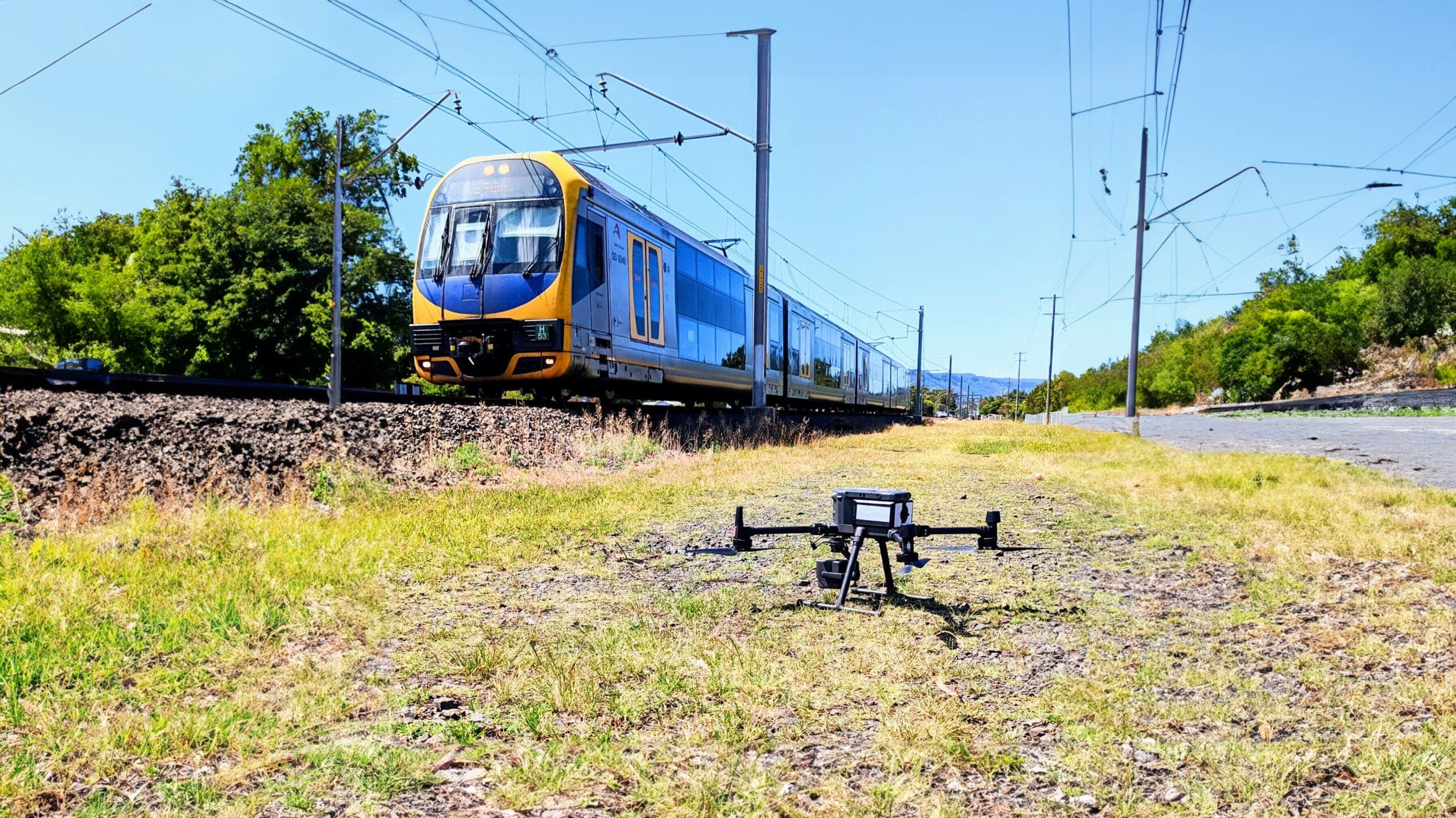
This collaborative initiative between National Drones and Aurecon involved comprehensive drone-based photogrammetry across Sydney's rail network. The team inspected 3,818 known assets including cuttings, embankments, and retaining walls across three regions: City and North, South (Illawarra and Southwest), and West (City West and Western).
The project ran from August 2022 to April 2023.
Key Challenge
Operating remotely piloted aircraft (RPA) over active rail corridors while maintaining visual line of sight compliance with Civil Aviation Safety Authority regulations presented significant logistical hurdles. The project required precise coordination around continuous train schedules to avoid service disruption.
Solution Approach
- Equipment: DJI Matrice 300 drones with P1 cameras for photogrammetry; L1 sensors for LiDAR data
- Methodology: Segmented survey into 608 one-kilometre sections
- Teams: Five two-person operator teams deployed
- Planning: GIS integration with ground control points established for accuracy
Results Achieved
- Coverage: 438 kilometres surveyed successfully
- Data Products: High-resolution orthomosaics, digital elevation models, 3D meshes, point clouds
- Visualization Tools: Multiple view types including inspection view, 2D orthomosaic, 3D model, point cloud, and digital elevation model with synchronized retrieval capabilities
- Processing Platform: SmartData cloud-based analysis system enabling sophisticated data interpretation
Benefits Delivered
- Enhanced worker safety by eliminating need for personnel to access hazardous rail-adjacent areas
- Minimal disruption to rail operations (avoided traditional track possessions)
- Superior data quality enabling informed maintenance decisions
- Comprehensive asset condition baseline for future predictive maintenance planning
Future Outlook
The project demonstrated drone technology's transformative potential for infrastructure management. With 438 of 608 kilometres completed, remaining segments await additional CASA approvals, positioning the initiative as an industry precedent for large-scale rail asset assessment.