Drones in Mining
Aerial surveying, inspections, and data capture for mine sites across Australia. Safer, faster, and more accurate than traditional methods.
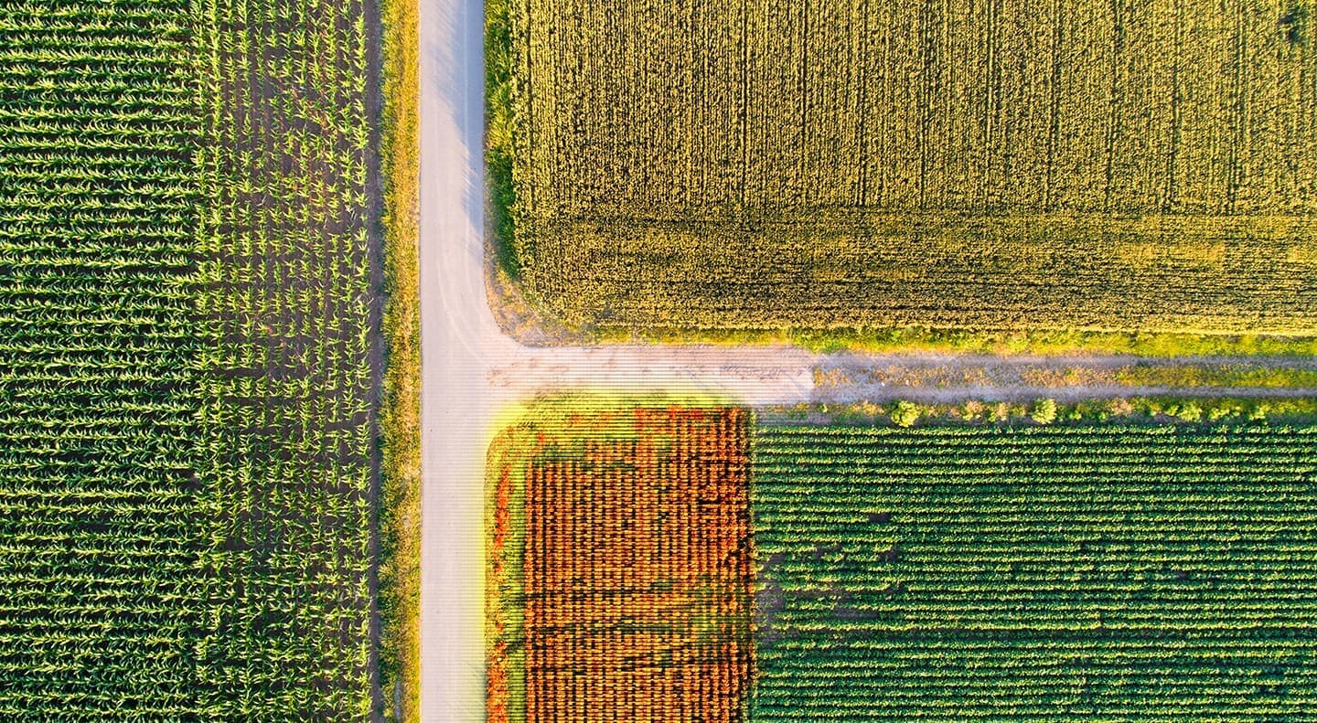
Stockpile Measurement & Volumetrics
Accurate volumetric data is critical for reconciliation, inventory management, and reporting. Drone surveys produce 3D surface models of stockpiles that enable precise volume calculations — faster, safer, and more frequently than traditional ground surveys. Regular drone surveys allow mining operations to track material movements weekly or monthly rather than quarterly.
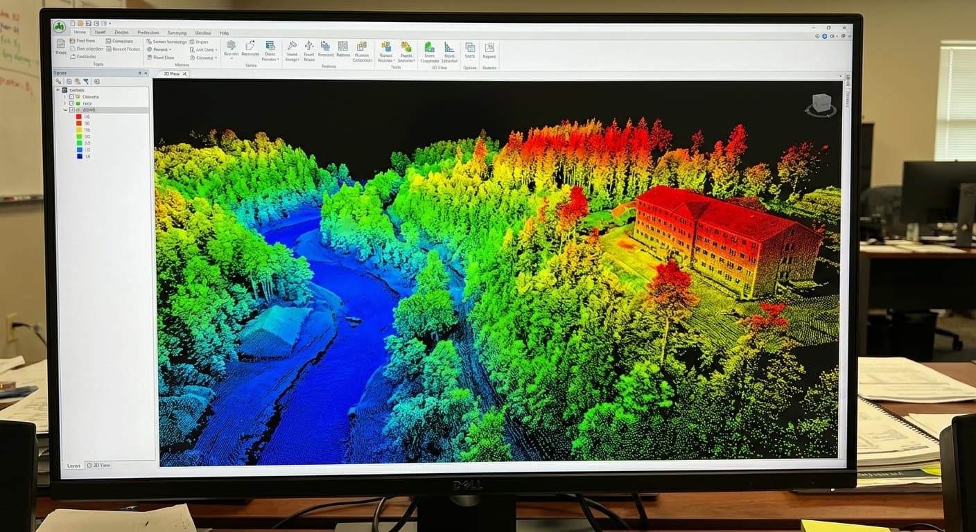
Pit Surveys & Terrain Modelling
Topographic surveys of active pits, waste dumps, and haul roads provide the design and compliance data mining operations need. Drone photogrammetry and LiDAR produce digital terrain models, contour maps, and cross-sections at centimetre accuracy. These surveys feed directly into mine planning software and support regulatory compliance reporting.
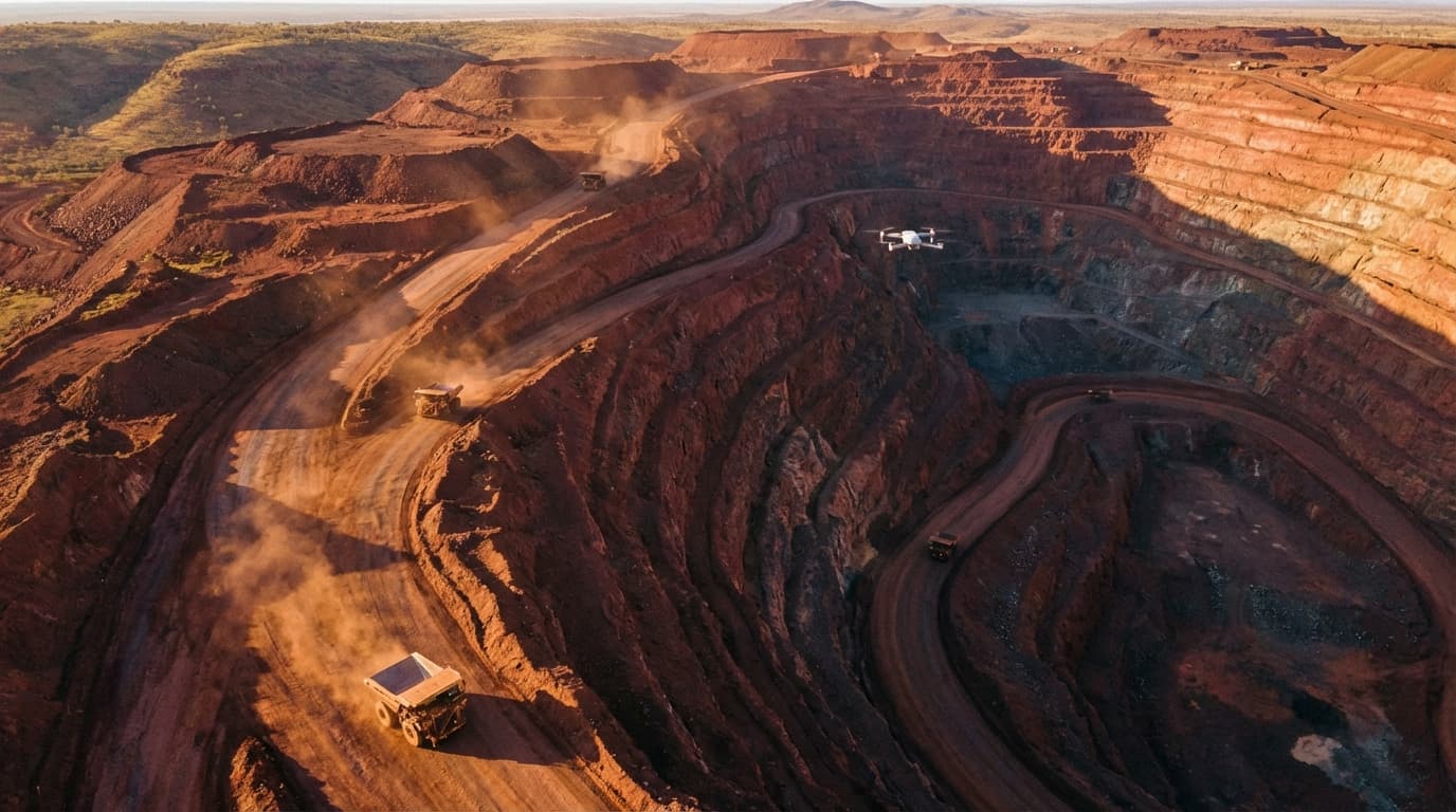
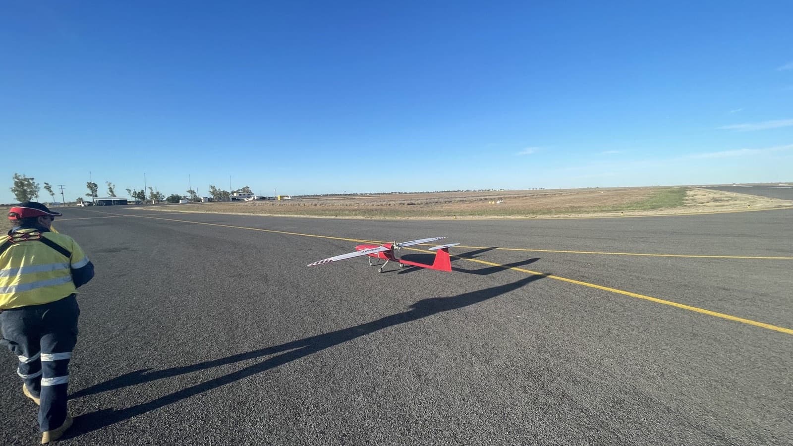
BVLOS Large-Area Surveys
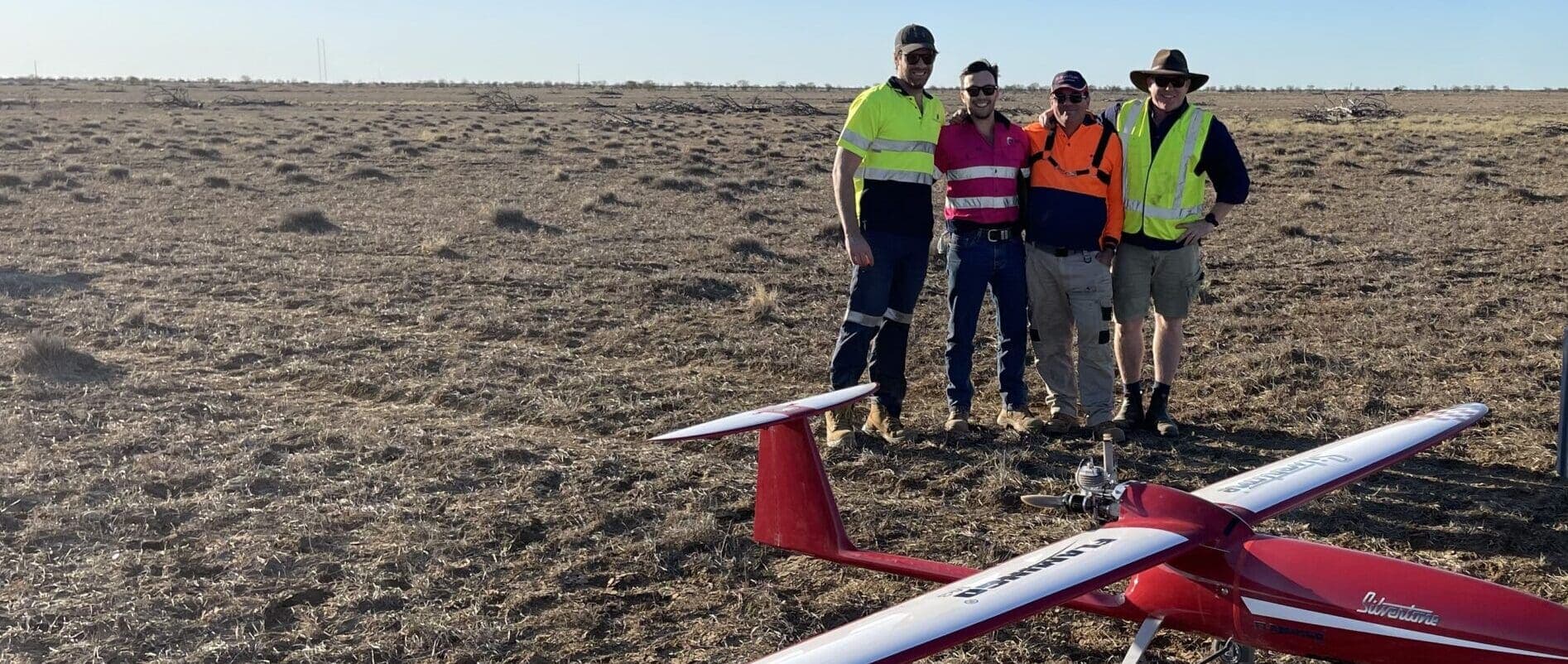
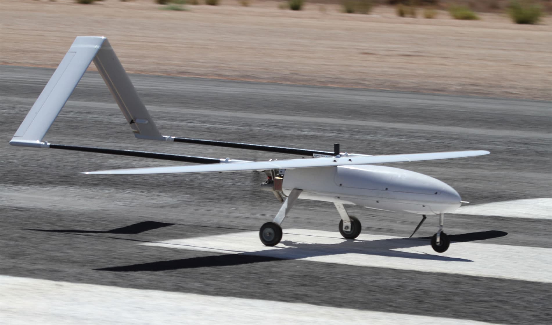
Mining leases and exploration tenements can span thousands of hectares. National Drones holds CASA approvals for Beyond Visual Line of Sight operations, enabling efficient surveying of large areas in a single operation. Our work at Olympic Dam for BHP and large-area surveys for QEM Limited demonstrate the scale at which drone surveys deliver value in the mining sector.
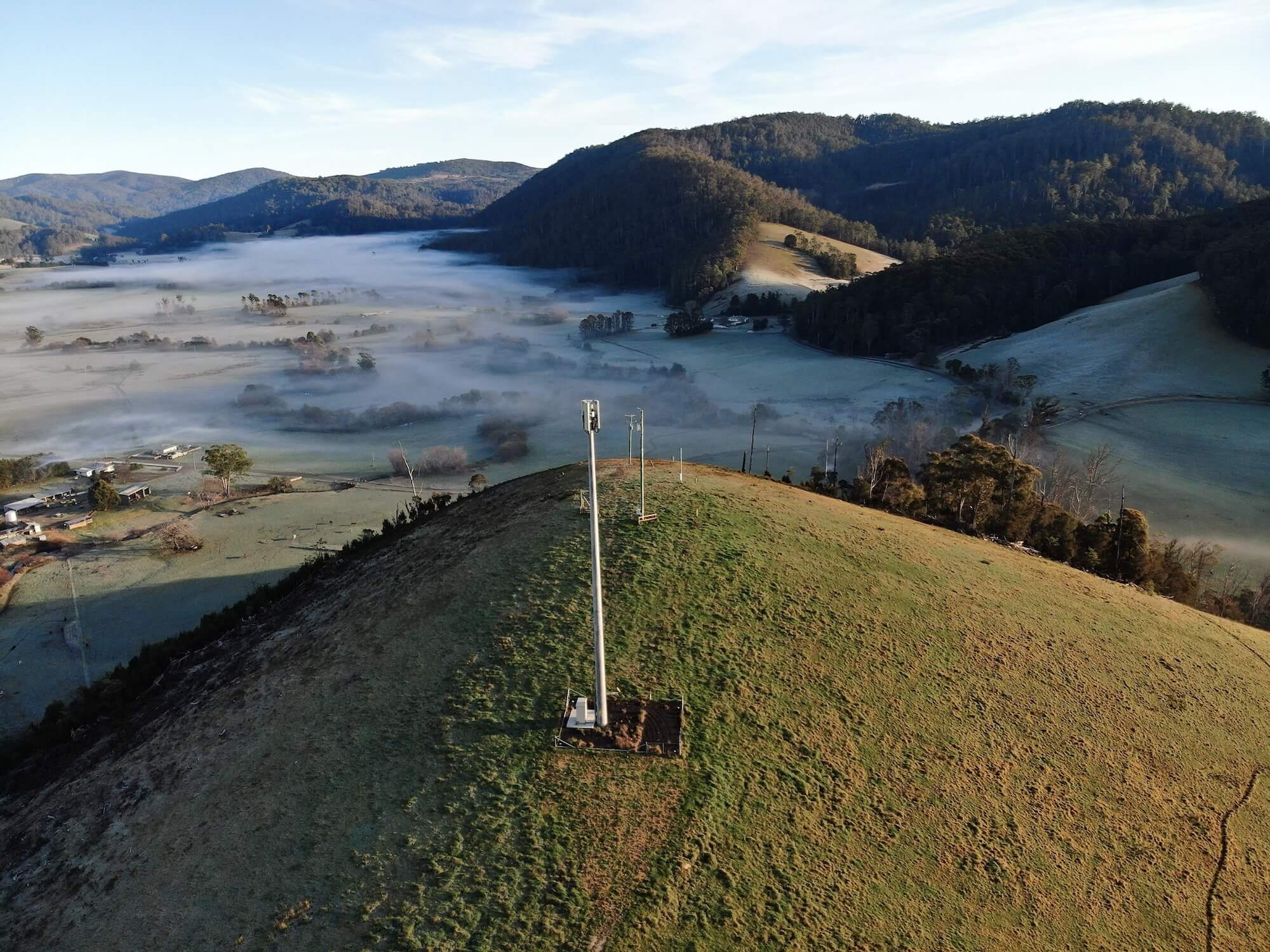
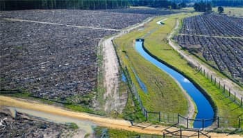
Environmental & Rehabilitation Monitoring
Mining operations require ongoing environmental monitoring and rehabilitation tracking. Drones capture multispectral imagery for vegetation health assessment (NDVI), track revegetation progress, monitor erosion and sedimentation, and document compliance with environmental management plans. Thermal imaging detects seepage in tailings dam walls and groundwater discharge points.
Services for Mining
The drone capabilities that support mining operations from exploration through to rehabilitation.
Surveying & Mapping
Stockpile volumes, pit surveys, terrain models, and large-area mapping with photogrammetry and LiDAR.
Inspections
Visual inspections of infrastructure, equipment, and structures across mine sites without putting personnel at risk.
Thermal Inspections
Thermal imaging for spontaneous combustion detection, equipment monitoring, and tailings dam seepage assessment.
LiDAR Surveys
High-accuracy 3D terrain data for mine planning, earthworks design, and rehabilitation monitoring.
Mining Insights
Learn more about how drones are used in the mining industry.
Mining Case Studies
See how we have delivered for mining and resource companies across Australia.
Mining & Resource Exploration
QEM Limited
National Drones partnered with Silvertone and QEM to conduct an extensive BVLOS aerial survey spanning 250 square kilometres, creating detailed orthomosaic and digital elevation models.
Water & Wastewater
Gippsland Water
National Drones partnered with Gippsland Water to reduce maintenance inspection times and gain greater insights into asset condition via aerial survey, thermal imaging, and NDVI analysis.
Mining
BHP
National Drones conducted a BVLOS aerial survey of BHP's 180km² Olympic Dam mine site in South Australia, one of the largest ever covered by survey drone in Australia.
Frequently Asked Questions
- What drone services are used in mining?
- Key drone services for mining include stockpile volumetric surveys, pit and dump topographic mapping, BVLOS large-area surveys, LiDAR terrain modelling, thermal inspections for equipment and spontaneous combustion monitoring, environmental compliance surveys, and progress monitoring. Drones deliver survey-grade data faster and more safely than traditional ground-based methods.
- How accurate are drone surveys for mining stockpile measurement?
- Drone photogrammetry surveys achieve 2-5 centimetre accuracy for stockpile volume measurements, which is comparable to or better than traditional ground survey methods. LiDAR surveys offer even higher accuracy in vegetated or complex terrain. Volumetric calculations are derived directly from the 3D surface model.
- Can drones operate BVLOS at mine sites in Australia?
- Yes. National Drones holds CASA approvals for Beyond Visual Line of Sight (BVLOS) operations, which are essential for surveying large mine sites efficiently. BVLOS allows a single crew to survey areas of 1,000+ hectares in a single operation, dramatically reducing per-hectare survey costs.
- How do drones improve mining safety?
- Drones remove personnel from hazardous environments — high walls, active pits, unstable ground, and areas near heavy machinery. They also enable regular monitoring of tailings dams, embankment stability, and equipment condition without exposing workers to risk. Thermal drones can detect spontaneous combustion in stockpiles before it becomes a fire.
- How much does a drone survey cost for a mine site?
- Mining drone survey costs depend on the area to be covered and deliverables required. Small site surveys start from around $2,000. Large-area BVLOS surveys of 1,000+ hectares typically range from $5,000 to $30,000+ depending on scope. Regular survey programs benefit from volume pricing. Contact us for a tailored quote.
Ready to See What Drones Can Do?
Tell us about your project and we'll send you a tailored proposal — most quotes are turned around within 24 hours.