Drones in Construction
Site surveys, progress monitoring, and inspections for construction projects across Australia. Better data, faster decisions, safer sites.
Site Surveys & Terrain Modelling
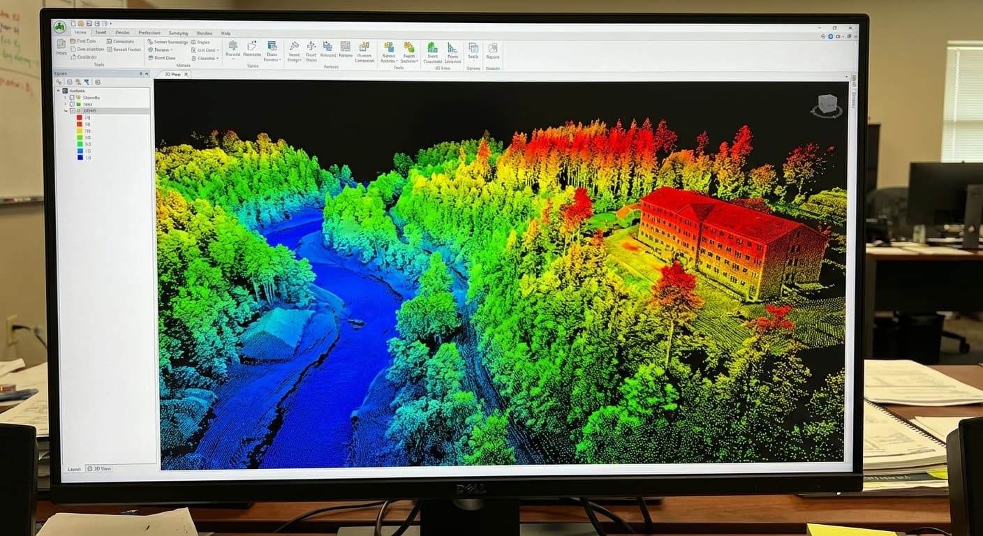
Pre-construction topographic surveys provide the foundation for engineering design and earthworks planning. Drone surveys produce digital terrain models, contour maps, and orthomosaic imagery at centimetre accuracy — covering in hours what ground crews take days to survey. LiDAR penetrates vegetation on greenfield sites, delivering accurate bare-earth data without the need to clear vegetation first.
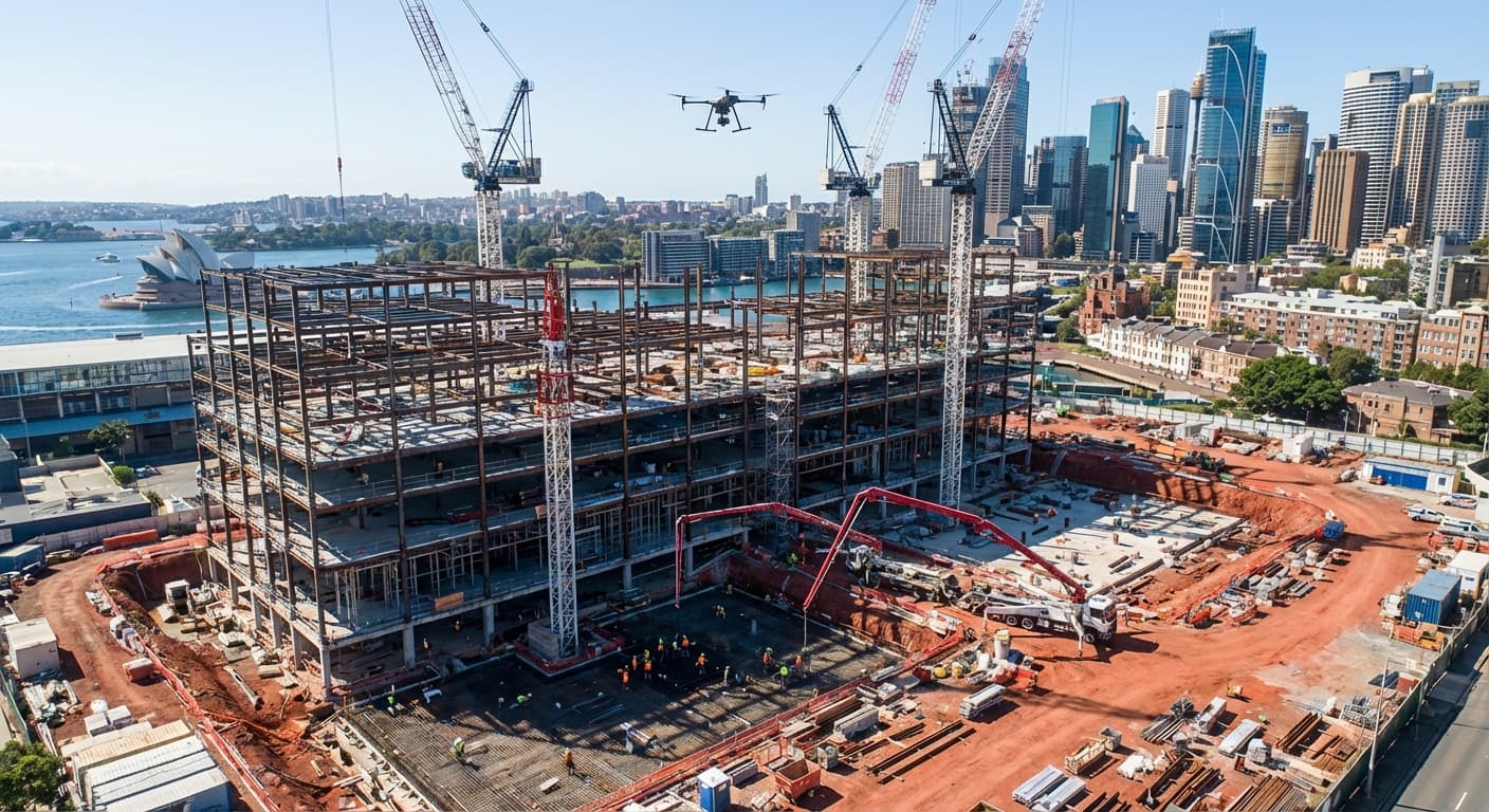
Progress Monitoring & As-Built Documentation
Regular drone surveys create a visual and spatial record of construction progress. Comparing as-built surfaces against design surfaces reveals whether earthworks, foundations, and structures are tracking to plan. Time-series orthomosaics document site conditions at each survey epoch — invaluable for project management reporting, claims, and dispute resolution.
Volumetric Analysis & Earthworks
Cut-and-fill volume calculations derived from drone survey data enable accurate tracking of material movements. Comparing terrain models from different survey dates reveals exactly how much material has been cut, filled, or stockpiled — supporting progress claims, material reconciliation, and payment certification with survey-grade accuracy.
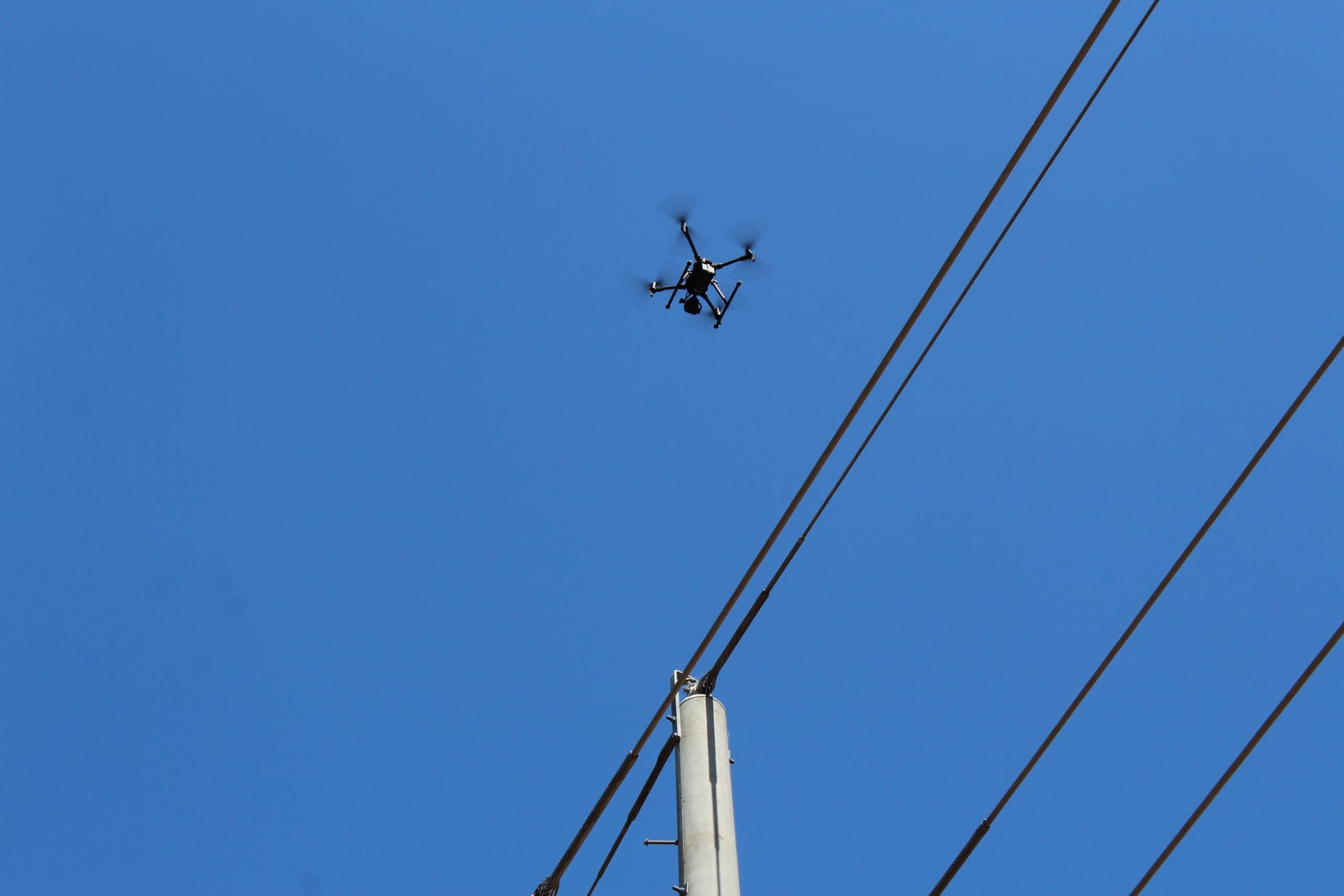
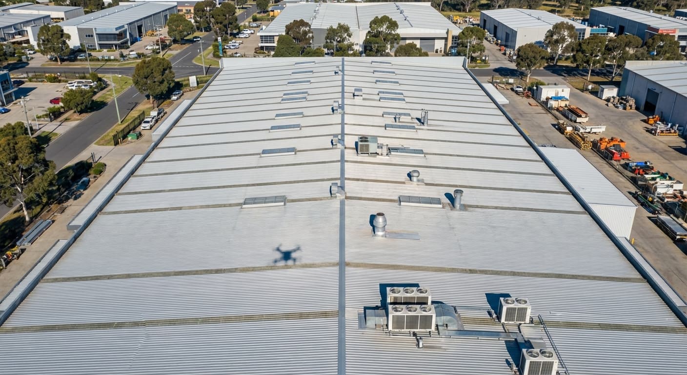
Bridge & Structure Inspections
Drones inspect bridges, retaining walls, and structures from angles that would require expensive access equipment or lane closures using traditional methods. High-resolution imagery and LiDAR data capture structural details, defects, and condition information that feeds directly into engineering assessments and maintenance planning.
Services for Construction
Drone capabilities that support construction projects from site preparation through to handover.
Surveying & Mapping
Topographic surveys, orthomosaic maps, and digital terrain models for site planning and earthworks design.
Inspections
Bridge, structural, and building inspections without scaffolding, lane closures, or elevated work platforms.
Thermal Inspections
Thermal imaging for building envelope assessments, moisture detection, and post-construction quality assurance.
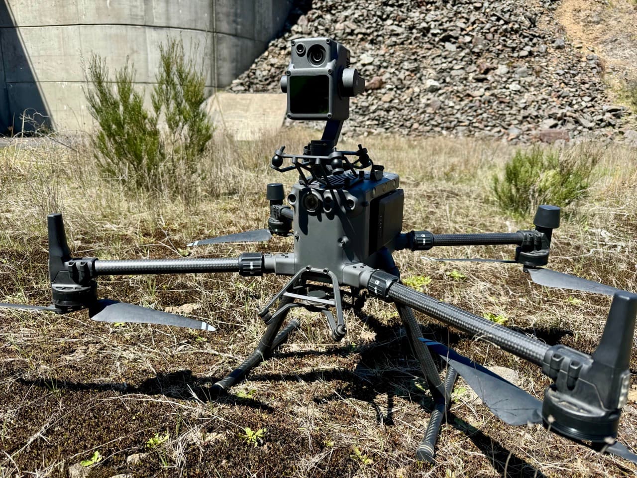
LiDAR Surveys
High-accuracy terrain data through vegetation for greenfield sites, corridor surveys, and earthworks verification.
Construction Insights
Learn more about how drones are used in construction.
Construction Case Studies
See how we have delivered for construction and infrastructure clients across Australia.
Infrastructure Engineering
Aurecon & Snowy Hydro
National Drones conducted comprehensive bridge inspections for Aurecon and Snowy Hydro, capturing high-resolution LiDAR and photogrammetry data across 38 bridges in NSW and ACT.
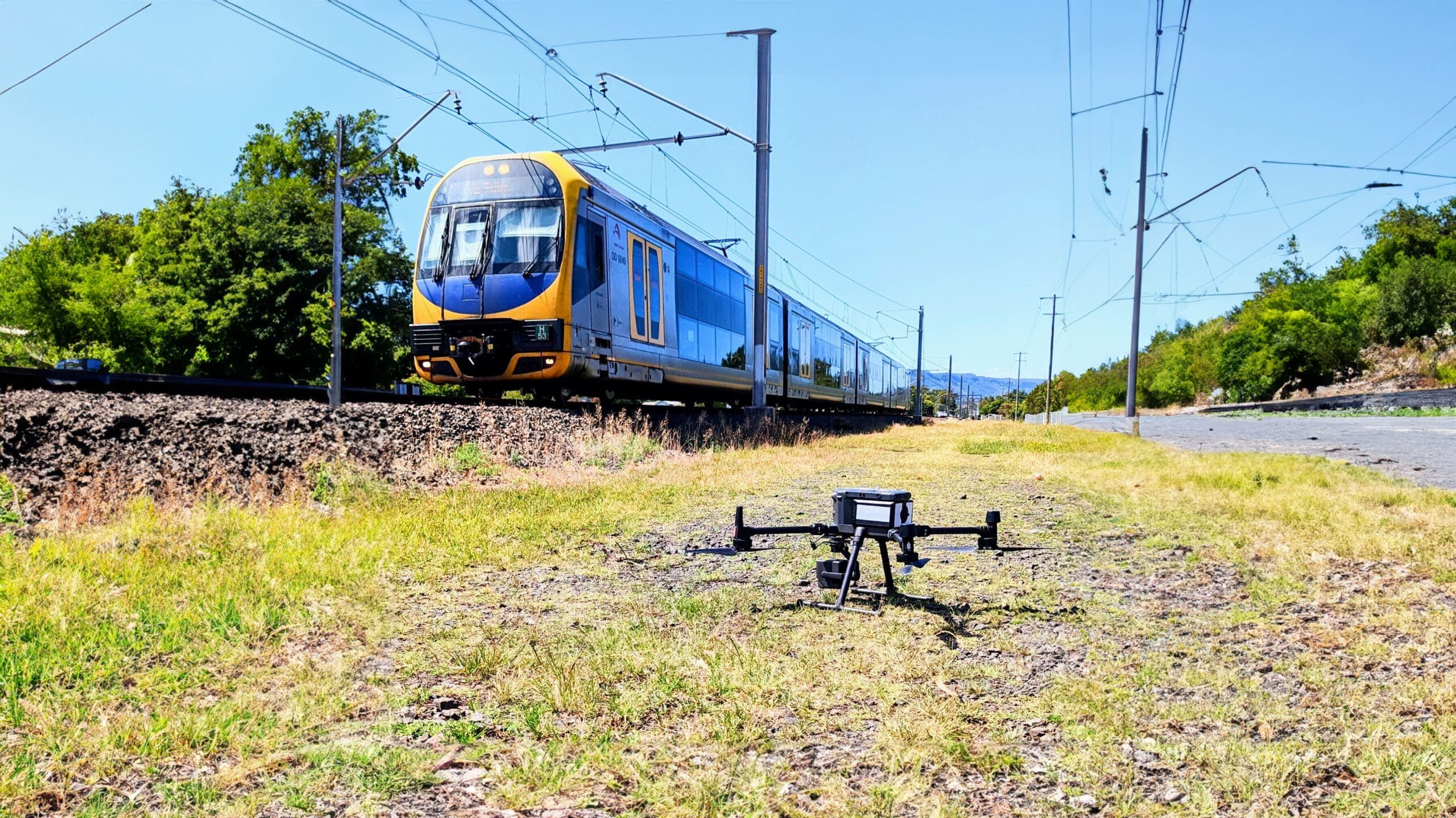
Rail Infrastructure
Aurecon (on behalf of Sydney Trains)
National Drones and Aurecon inspected 3,818 rail assets across Sydney's network using drone photogrammetry and LiDAR, covering 438 kilometres of rail corridor.
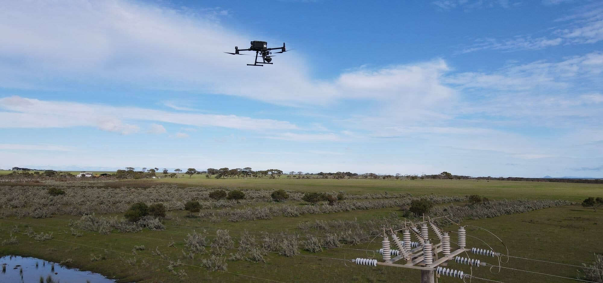
Utilities
Western Australian Utility Provider
National Drones revolutionised utility sector inspection programs by conducting drone inspections of 25,000 distribution poles, improving safety and efficiency.
Frequently Asked Questions
- How are drones used in construction?
- Drones in construction are used for pre-construction site surveys, progress monitoring, volumetric cut-and-fill calculations, bridge and structure inspections, roof inspections, safety monitoring, and BIM integration. They produce orthomosaic maps, 3D models, digital terrain models, and detailed inspection reports that support decision-making throughout the project lifecycle.
- How accurate are drone surveys for construction sites?
- Drone photogrammetry surveys achieve 2-5 centimetre accuracy, which is suitable for most construction survey requirements including earthworks calculations, site layouts, and progress monitoring. LiDAR surveys achieve similar or better accuracy and can survey through vegetation for greenfield sites.
- Can drones replace traditional surveying on construction sites?
- Drones complement traditional surveying rather than replacing it entirely. They excel at capturing large-area topographic data, progress photography, volumetric measurements, and inspections. Ground-based survey methods are still required for setting out points, boundary surveys, and high-precision structural measurements. The most effective approach combines both.
- How often should construction progress be monitored with drones?
- Most construction projects benefit from monthly drone surveys to track earthworks volumes, compare as-built against design, and document site conditions. Larger or more complex projects may warrant fortnightly or weekly flights. Regular surveys create a time-series record that supports project management, claims, and dispute resolution.
- How much does a drone survey cost for a construction site?
- Construction site drone surveys typically cost between $2,000 and $8,000 depending on site size, deliverables required, and access complexity. Regular monitoring programs (monthly surveys over the project duration) benefit from volume pricing. Contact us for a tailored quote based on your project requirements.
Ready to See What Drones Can Do?
Tell us about your project and we'll send you a tailored proposal — most quotes are turned around within 24 hours.