Drones in Construction
5 April 2023
Drones in Construction
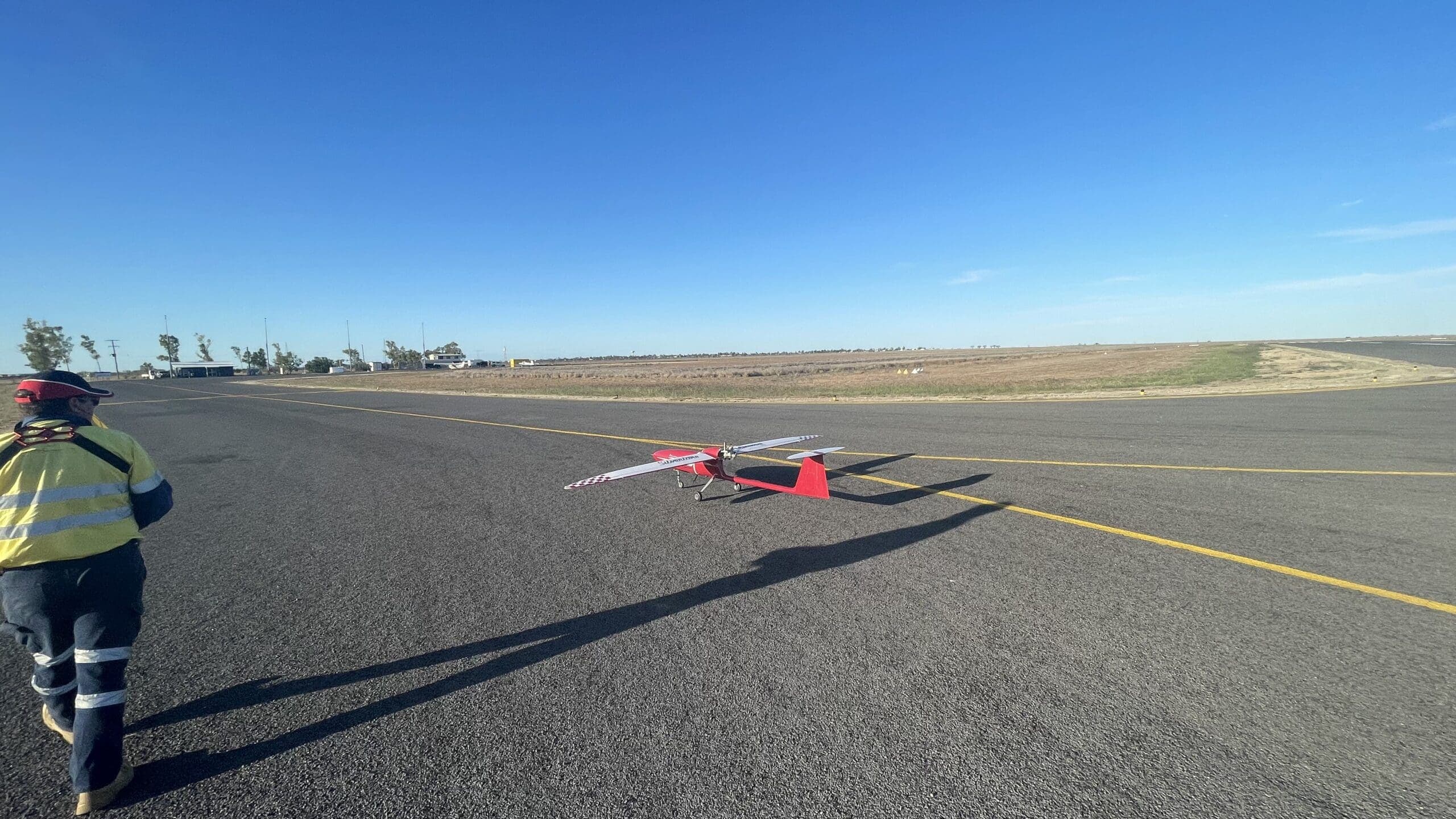
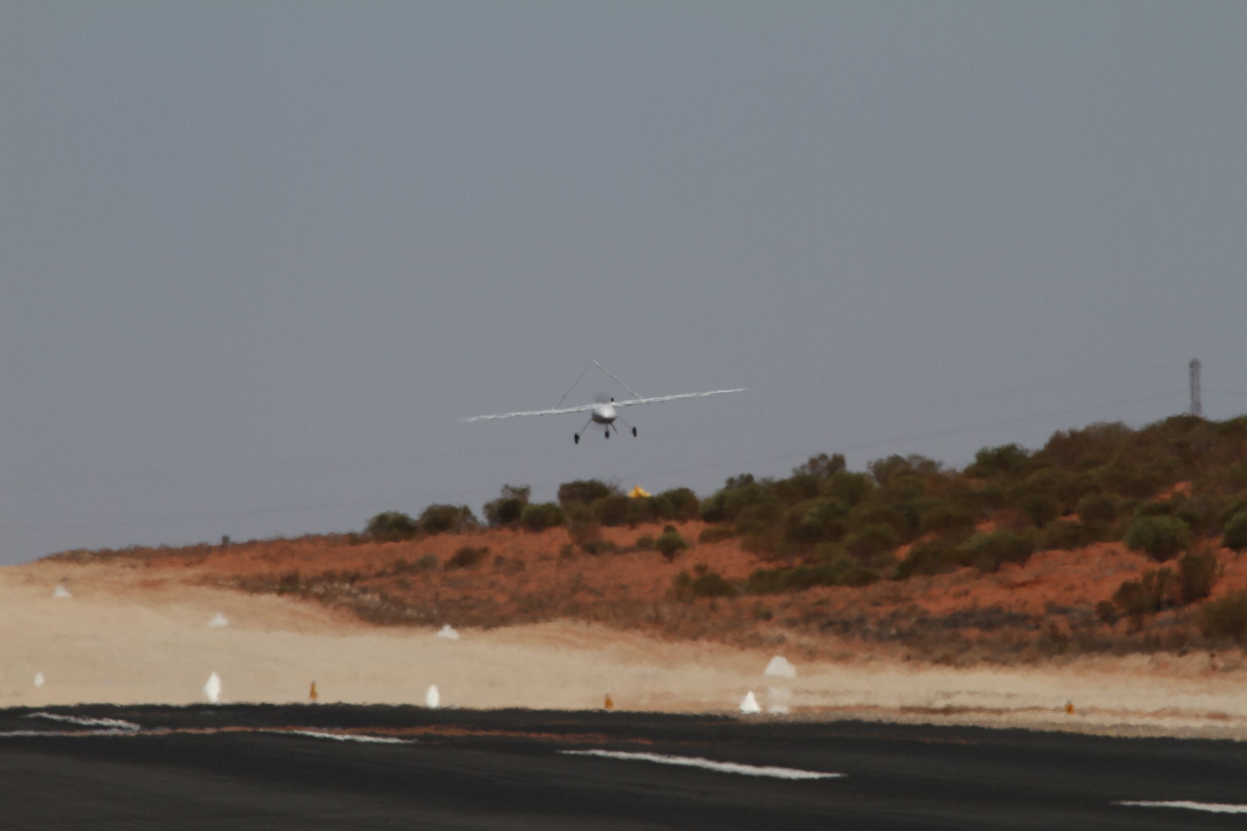
The construction industry is one of the fastest-growing sectors for commercial drone use in Australia. From initial site surveys through to as-built documentation, drones provide construction professionals with accurate, timely data that improves decision-making, reduces costs, and enhances safety.
How Drones Are Used in Construction
Site Surveys and Topographic Mapping
Before construction begins, an accurate understanding of the existing site conditions is essential. Drones can produce detailed topographic surveys, contour maps, and digital terrain models in a fraction of the time required by traditional survey methods.
These surveys provide engineers and designers with the data they need for:
- Cut and fill calculations
- Drainage design
- Foundation planning
- Access road layout
- Environmental assessments
Earthworks Monitoring
During the earthworks phase, regular drone surveys allow project managers to:
- Track material movement volumes
- Verify cut and fill against design
- Monitor progress against schedule
- Identify issues early, such as unexpected ground conditions or drainage problems
Comparing successive surveys reveals exactly how much material has been moved, where it has gone, and whether the work aligns with the design specifications.
Progress Monitoring
Drone imagery captured at regular intervals provides a visual and quantitative record of construction progress. This data supports:
- Client reporting -- Clear visual evidence of progress for stakeholders and investors
- Schedule tracking -- Comparing actual progress against the project programme
- Dispute resolution -- Timestamped imagery provides an objective record of site conditions at any point
- Handover documentation -- A complete visual history of the construction process
As-Built Documentation
At project completion, drones can capture detailed imagery and 3D models that document the as-built condition of the site. This is particularly valuable for:
- Verifying that construction matches the design intent
- Recording the location of buried services before backfilling
- Creating accurate records for facility management
- Meeting contractual documentation requirements
Safety Monitoring
Drones provide a bird's-eye view of the construction site that supports safety management:
- Identifying potential hazards from above
- Monitoring exclusion zones and restricted areas
- Documenting safety compliance for audits
- Providing situational awareness during high-risk activities
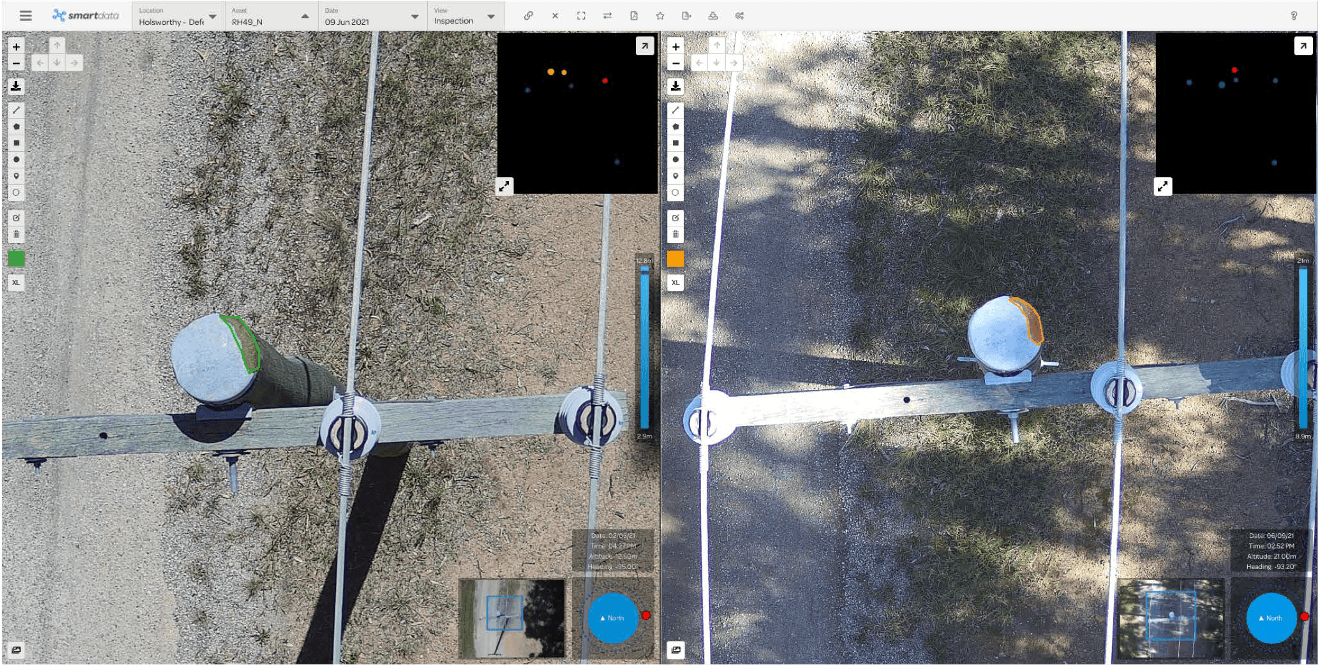
Inspection of Structures
During and after construction, drones can inspect structures that are difficult or dangerous to access by traditional means:
- Bridge piers and decks
- Building facades
- Roof structures
- Tall formwork and scaffolding
- Crane structures
Benefits for Construction
Time Savings
A site survey that takes a ground crew several days can be completed by a drone in hours. This speed advantage is even greater on large sites or those with difficult terrain.
Cost Reduction
Faster surveys mean lower survey costs. More frequent monitoring means issues are caught earlier, reducing the cost of rework. Better data means fewer design clashes and variations.
Improved Accuracy
Drone surveys using RTK GPS and ground control points achieve centimetre-level accuracy. The density of data captured by a drone far exceeds what a ground-based survey can practically achieve, resulting in more accurate surfaces and volumes.
Better Communication
High-resolution aerial imagery and 3D models are powerful communication tools. They help project teams, clients, and stakeholders understand the site and the progress of work in a way that drawings and reports alone cannot convey.
Safety Improvement
By reducing the need for personnel to access elevated or hazardous areas for survey and inspection work, drones directly contribute to a safer work environment.
Technology and Deliverables
National Drones provides construction clients with a range of deliverables, including:
- Orthomosaic maps -- High-resolution, geometrically corrected aerial imagery
- Digital terrain models -- Accurate bare-earth surfaces for design and earthworks
- Digital surface models -- Surfaces including structures, vegetation, and stockpiles
- 3D point clouds -- Dense 3D data for measurement and analysis
- 3D mesh models -- Textured three-dimensional site reconstructions
- Volume calculations -- Cut, fill, and stockpile volumes
- Progress reports -- Visual and quantitative comparisons between survey dates
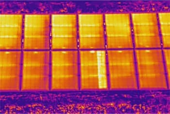
- Inspection imagery -- High-resolution visual and thermal images of structures
Working with National Drones
National Drones works with construction companies, developers, and civil contractors across Australia. We can support one-off surveys or provide ongoing programs with regular scheduled flights throughout the life of a project.
Contact us to discuss how drone data can benefit your construction project.