Drone Mapping and 3D Modelling
18 May 2023
Drone Mapping and 3D Modelling
Drone mapping and 3D modelling have transformed the way industries capture, analyse, and visualise spatial data. Using high-resolution cameras and advanced photogrammetry software, drones can create detailed maps, orthomosaics, elevation models, and 3D reconstructions of virtually any site or structure.
How Drone Mapping Works
Drone mapping uses a technique called photogrammetry, which involves capturing hundreds or thousands of overlapping aerial photographs and processing them into accurate geospatial products.
The process typically involves:
- Mission planning -- Defining the survey area, flight altitude, image overlap, and ground control points (GCPs)
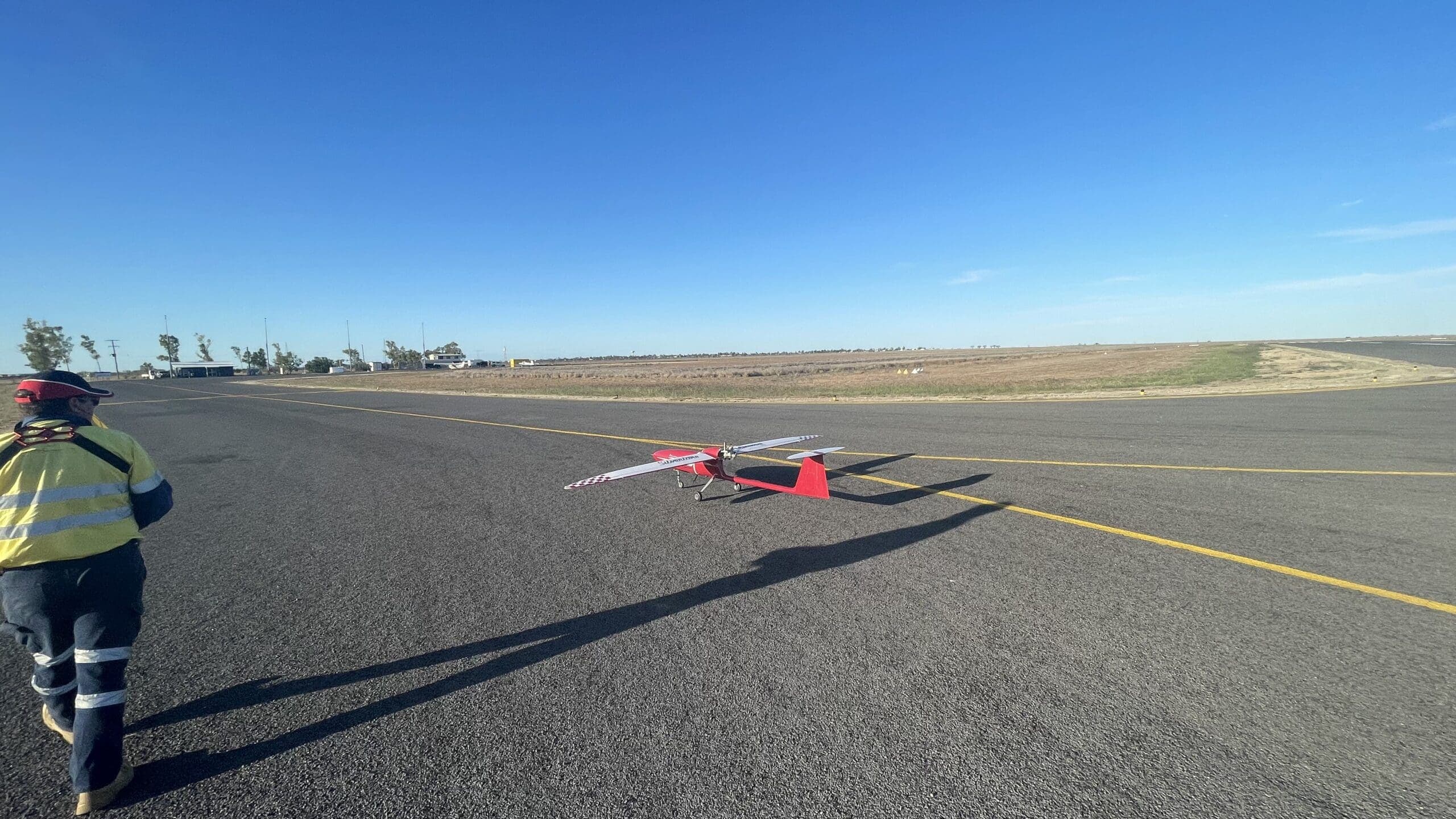
- Data capture -- Flying the drone along pre-programmed flight paths while the camera captures images at precise intervals
- Processing -- Using photogrammetry software to stitch images together and generate outputs
- Analysis -- Extracting measurements, volumes, contours, and other data from the processed models
Types of Outputs
Orthomosaics
An orthomosaic is a geometrically corrected aerial image that has been stitched together from many individual photos. Unlike a standard aerial photograph, an orthomosaic has a uniform scale throughout, meaning accurate measurements can be taken directly from the image.
Digital Surface Models (DSM)
A DSM represents the elevation of all features on the earth's surface, including buildings, vegetation, and terrain. It is useful for understanding the topography of a site and identifying features that may affect planning or operations.
Digital Terrain Models (DTM)
A DTM represents the bare earth surface with all above-ground features removed. This is essential for engineering, earthworks planning, and hydrological analysis.
3D Point Clouds
A point cloud is a dense collection of millions of three-dimensional points that represent the surface of objects and terrain. Point clouds can be used for volumetric calculations, structural analysis, and creating detailed 3D models.
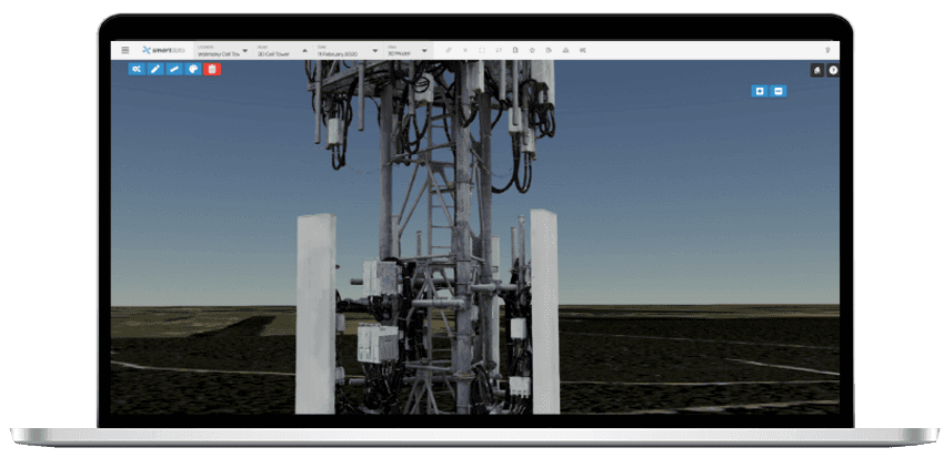
3D Mesh Models
A mesh model is a textured three-dimensional reconstruction of a site or structure. These models can be explored interactively in software or shared via web-based viewers, providing stakeholders with an immersive understanding of a site.
Accuracy and Ground Control
The accuracy of drone mapping depends on several factors, including the quality of the camera, the flight altitude, image overlap, and the use of ground control points.
Without ground control: Typical accuracy is 1 to 3 metres horizontal and 2 to 5 metres vertical, depending on GPS quality.
With ground control points (GCPs): Accuracy improves to 2 to 5 centimetres horizontal and vertical when surveyed GCPs are used.
With RTK/PPK GPS: Real-Time Kinematic or Post-Processed Kinematic GPS on the drone can achieve centimetre-level accuracy, often reducing or eliminating the need for GCPs.
Applications
Construction
Drone mapping is used throughout the construction lifecycle:
- Pre-construction -- Site surveys, topographic mapping, and existing conditions documentation
- During construction -- Progress monitoring, earthworks tracking, and stockpile measurement
- Post-construction -- As-built documentation and defect identification
Mining
Mining operations use drone mapping for:
- Stockpile volume calculations
- Pit and dump progression tracking
- Haul road surveys
- Rehabilitation monitoring
- Blast planning and fragmentation analysis
Agriculture
Agricultural applications include:
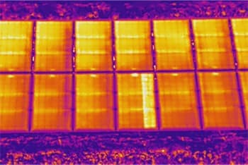
- Crop health assessment using multispectral imagery
- Drainage and irrigation planning
- Paddock boundary mapping
- Elevation analysis for land levelling
Environmental Management
Drone mapping supports environmental work including:
- Vegetation monitoring and classification
- Erosion tracking
- Wetland delineation
- Coastal change monitoring
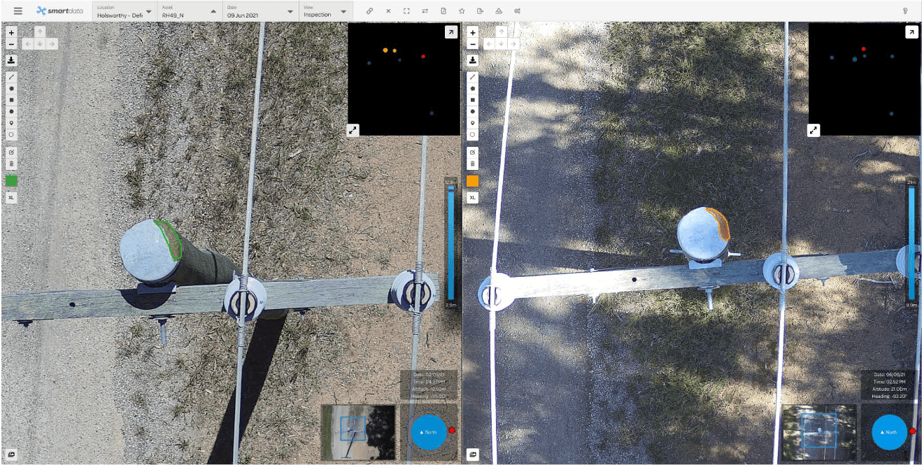
Infrastructure
Infrastructure managers use drone mapping for:
- Road and rail corridor surveys
- Bridge and dam inspections
- Telecommunications tower audits
- Pipeline route planning
Why Choose Drone Mapping?
Compared to traditional ground-based survey methods, drone mapping offers several advantages:
- Speed -- Drones can survey large areas in hours rather than days or weeks
- Cost -- Reduced labour requirements and faster completion times lower overall project costs
- Safety -- No need for personnel to access hazardous or difficult terrain
- Data density -- Millions of data points per survey compared to hundreds with traditional methods
- Visual context -- High-resolution imagery provides context that raw survey data cannot
Our Mapping Services
National Drones provides professional drone mapping and 3D modelling services across Australia. Our team operates survey-grade drone platforms with RTK GPS and high-resolution cameras, delivering results that meet engineering and survey standards.
We work with clients in construction, mining, agriculture, infrastructure, and environmental management to deliver accurate, actionable spatial data.
Contact us to discuss your mapping and modelling requirements.