Drone Spraying & Spreading
Revolutionising agricultural health with precision drone spraying for optimal crop care
Smarter Land Management Starts in the Air
Drone-based spraying reduces risk, controls vegetation with precision, and maintains compliance across difficult terrain. Our approach eliminates manual access needs and reduces heavy equipment use in remote or regulated environments, delivering safe, efficient, and environmentally responsible operations.
Modernising Vegetation & Site Management
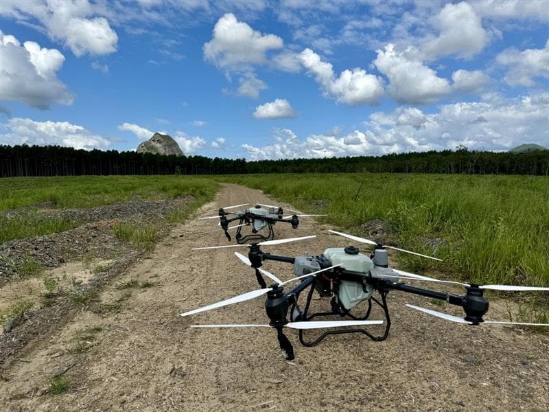
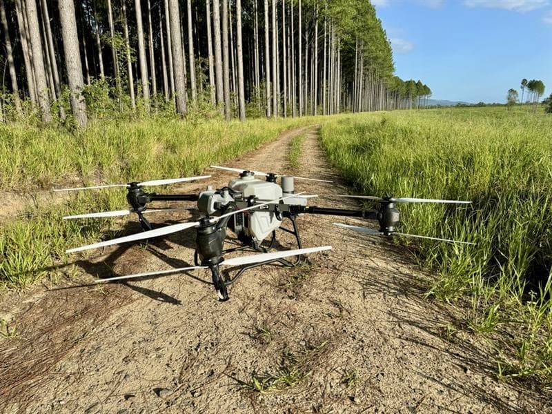
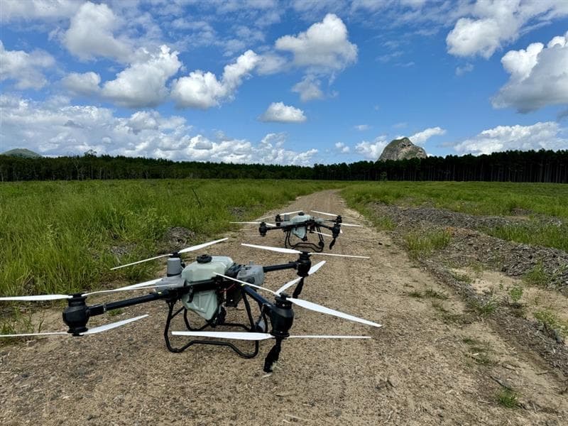
Precise spraying of herbicides, pesticides, and growth regulators, plus material spreading including fertilisers and fire ant bait. Drone-based spraying dramatically reduces cost, chemical usage, and risk compared to traditional ground-based or helicopter applications.
Targeted Aerial Applications
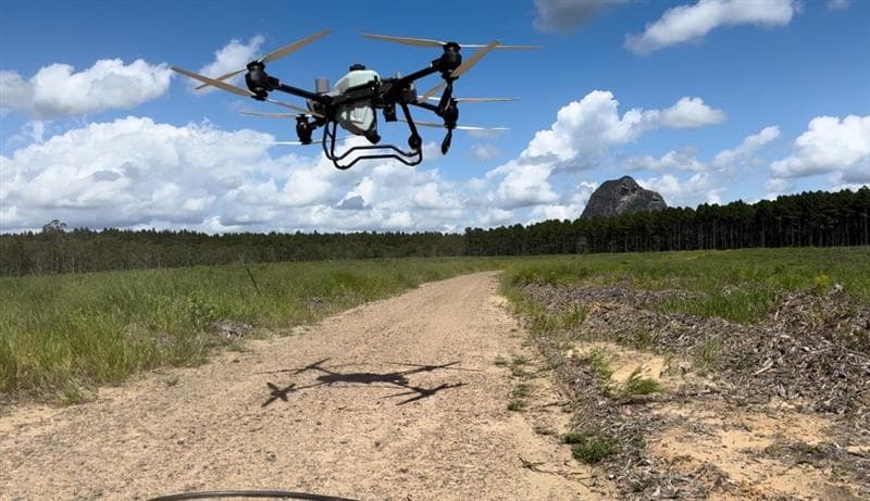
GPS-guided precision spot treatments eliminate blanket spraying, reducing chemical use and environmental impact in sensitive zones. High-resolution imaging reveals vegetation health, pest spread, erosion, and encroachment patterns to support compliance documentation and environmental accountability.
Easement & Corridor Management
Enterprise-scale operations for utility providers and infrastructure managers.
Powerlines & Pipelines
Herbicide application along powerlines and pipelines to manage vegetation encroachment safely and efficiently.
Plantation Management
Pre- and post-plant treatments across plantations with precision application minimising chemical waste.
Mine Site Management
Environmental management and vegetation control for mine sites with compliance documentation support.
Rail Corridors
Maintaining rail corridor vegetation compliance with targeted aerial application along linear infrastructure.
Gas Pipeline Maintenance
Vegetation management along gas pipelines ensuring safety compliance and access corridor maintenance.
Aerial Insights
Data collection supporting machine learning models for vegetation trend detection and automated species identification.
Frequently Asked Questions
- How much area can a spraying drone cover per day?
- A single DJI Agras drone can spray 40–60 hectares per day depending on terrain, application rate, and turnaround logistics. For large-scale projects, National Drones deploys multiple aircraft simultaneously, significantly increasing daily coverage. Our BVLOS-capable aircraft extend this further for corridor and easement work.
- Is drone spraying as effective as helicopter or ground spraying?
- Drone spraying delivers comparable or superior results to traditional methods. GPS-guided precision enables targeted application at the plant level, reducing chemical usage by up to 30% compared to blanket helicopter spraying. The lower flight altitude produces less drift, improving coverage consistency and reducing environmental impact.
- What chemicals can be applied by drone?
- Our drones apply a wide range of APVMA-registered products including herbicides, pesticides, fungicides, growth regulators, liquid fertilisers, and granular materials such as fire ant bait. All operations comply with relevant state and federal chemical application regulations, and our pilots hold the required chemical handling certifications.
Ready for Lift Off?
Get in touch with our team to discuss how our drone services can support your next project.