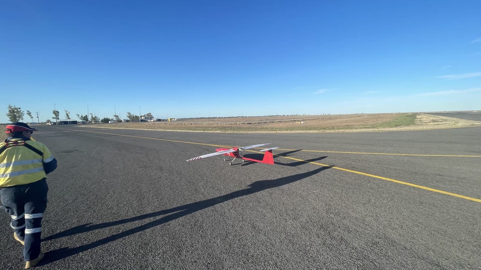
Mining
Aerial surveying uses drones to capture high-resolution, geo-tagged imagery of mine elevations and depressions. Data outputs include 2D maps, point clouds, 3D models, contour maps, and digital terrain and surface models. Applications cover stockpile management, asset management, mine monitoring, operational planning, exploration, and performance assessment. Our Beyond Visual Line of Sight (BVLOS) capability supports large-scale surveys across entire mining operations.
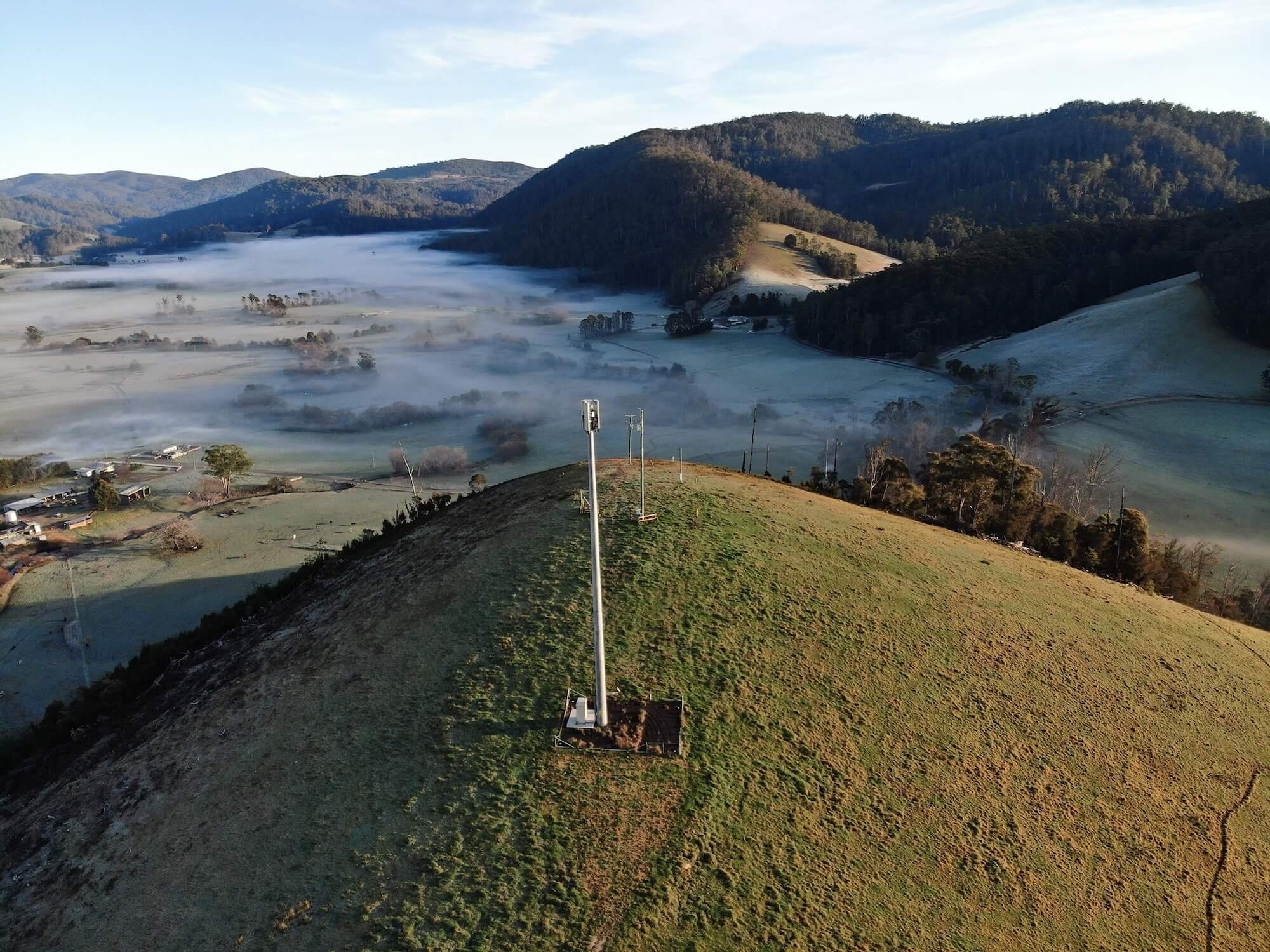
Telecommunications
Drone inspections replace traditional methods like abseiling and scaffolding for tower assessment. This approach improves employee safety, lowers operational costs, and provides a richer data set. Our cloud analytics platform, SmartData, enables digital asset management solutions to help maximise tower capacity and support asset lifecycle programs.
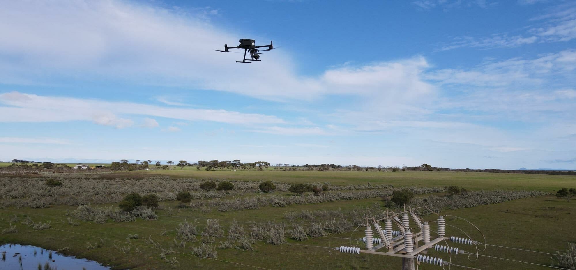
Power & Renewables
Inspection of towers, power lines, solar panels, wind turbines, and dams using advanced drone technology. LiDAR (Light Detection and Ranging) assesses line sag and vegetation proximity, enabling operators to manage assets more proactively and predict potential outages before they impact operations.
Our Services
Explore our full range of drone services designed to support your industry.
Surveying & Mapping
High-accuracy aerial surveys and orthomosaic mapping for construction, mining, and agriculture.
Inspections
Safe and efficient drone inspections for infrastructure, roofs, solar panels, and powerlines.
Drone Spraying
Agricultural drone spraying services for precision crop treatment and weed management.
Ready for Lift Off?
Get in touch with our team to discuss how our drone services can support your next project.