Bridging the Gap: Safer, Smarter Bridge Inspections for Aurecon & Snowy Hydro
Overview
National Drones conducted comprehensive bridge inspections for Aurecon and Snowy Hydro across New South Wales and the Australian Capital Territory. The objective was to capture high-resolution LiDAR and photogrammetry data for updating Snowy Hydro's spatial asset register, enabling remote detailed inspections.
Project Scope
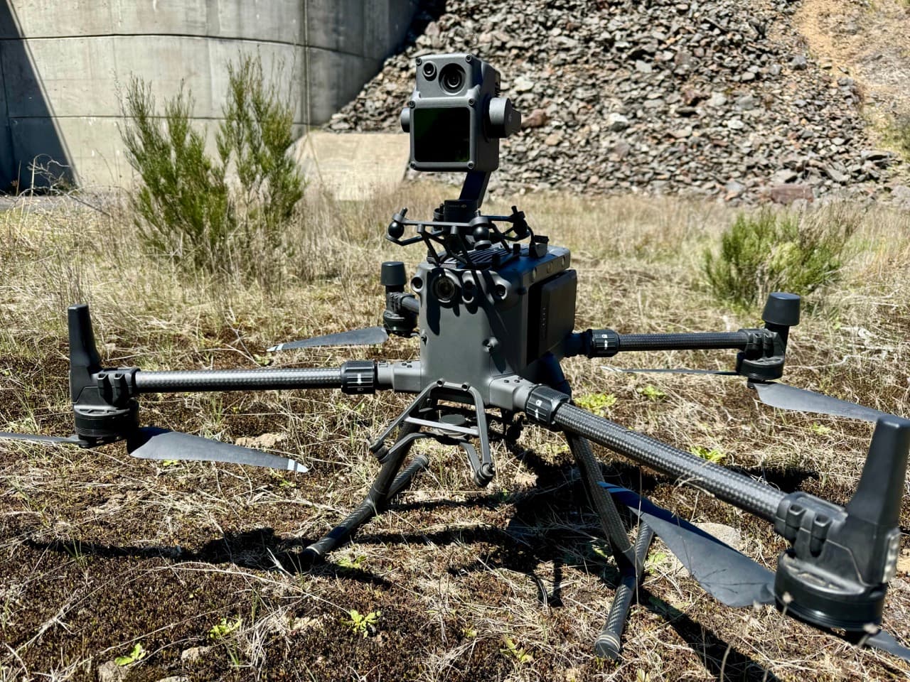
The engagement surveyed approximately 38 bridges, along with select dams and spillways, utilizing advanced drone technology to generate:
- High-resolution photogrammetry models for structural integrity analysis
- LiDAR point clouds providing accurate 3D representations
- Live-streamed inspections enabling real-time engineer access
Deliverables
Data delivered through the proprietary SmartData platform included:
- Photogrammetry meshes for detailed 3D surface modeling
- LiDAR point clouds offering precise measurement capabilities
- Raw inspection view images synchronized with 3D models
Value Delivered
Enhanced Asset Management — Updated visual records of critical infrastructure improved lifecycle management and predictive maintenance strategies.
Efficiency & Cost Savings — Drone-based approaches significantly reduced logistical challenges versus traditional inspections requiring road closures or scaffolding.
Increased Safety — Drones minimized risks in hazardous locations with limited access, falling rock hazards, and dense vegetation.
Technology & Methodology
- RTK GNSS & LiDAR for accurate geospatial capture
- Photogrammetry & 3D modeling for detailed digital twins
- SmartData integration for real-time visualization
Client Impact
Snowy Hydro and Aurecon now possess a scalable infrastructure monitoring solution supporting proactive maintenance planning and reducing emergency repair costs.