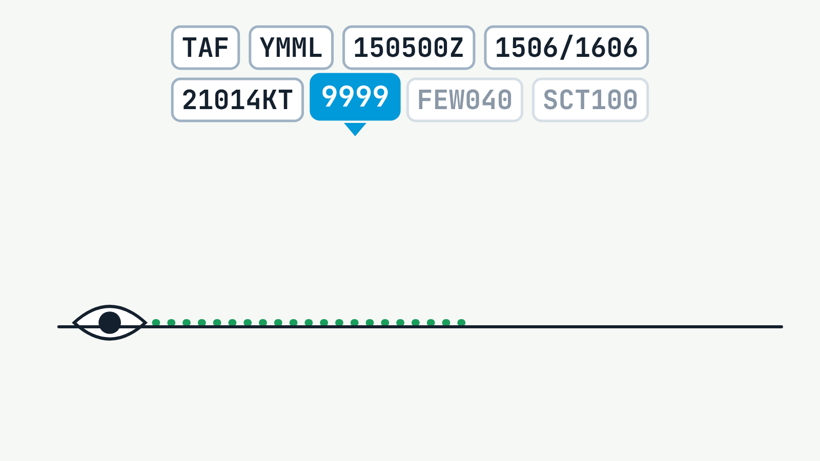
A coded weather report is decoded one group at a time. METAR (actual observation) example from the lesson: METAR YBBN 150530Z 18012KT 9999 FEW030 SCT050 25/18 Q1015 RMK RF00.0/000.0. It reads: Brisbane Airport, 15th at 0530 UTC, wind from 180 degrees at 12 knots, visibility 10 km or more, few cloud (1 to 2 oktas) at 3,000 ft and scattered cloud (3 to 4 oktas) at 5,000 ft above aerodrome level, temperature 25 degrees C, dew point 18 degrees C, QNH 1015 hPa, no rainfall. TAF (forecast) example from the lesson: TAF YMML 150500Z 1506/1606 21014KT 9999 FEW040 SCT100. It reads: Melbourne Airport, issued 15th at 0500 UTC, valid 15th 0600 UTC to 16th 0600 UTC, wind from 210 degrees at 14 knots, visibility 10 km or more, few cloud at 4,000 ft and scattered cloud at 10,000 ft. Each cloud group fills a sky dome divided into eight oktas, with a key: FEW 1 to 2, SCT 3 to 4, BKN 5 to 7, OVC 8 oktas.