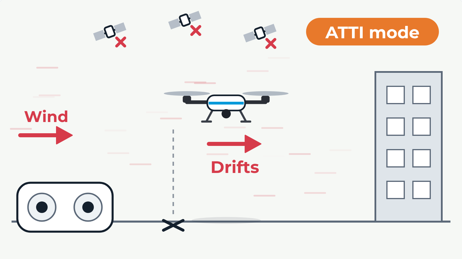
Side view with the wind blowing from the left, a building on the right and a mark on the ground below the drone. At first the drone is in GPS mode: satellites are linked, the sticks are released, and it tilts into the wind and holds its position over the mark. Then the GPS signal is lost and it changes to ATTI mode: it levels itself but no longer holds position, so it drifts with the wind towards the building. The pilot pushes the right stick into the wind, the drone tilts into the wind and flies back over the mark, and the pilot keeps making corrections to hold it there. In GPS mode only, the drone holds position over the mark all the time.