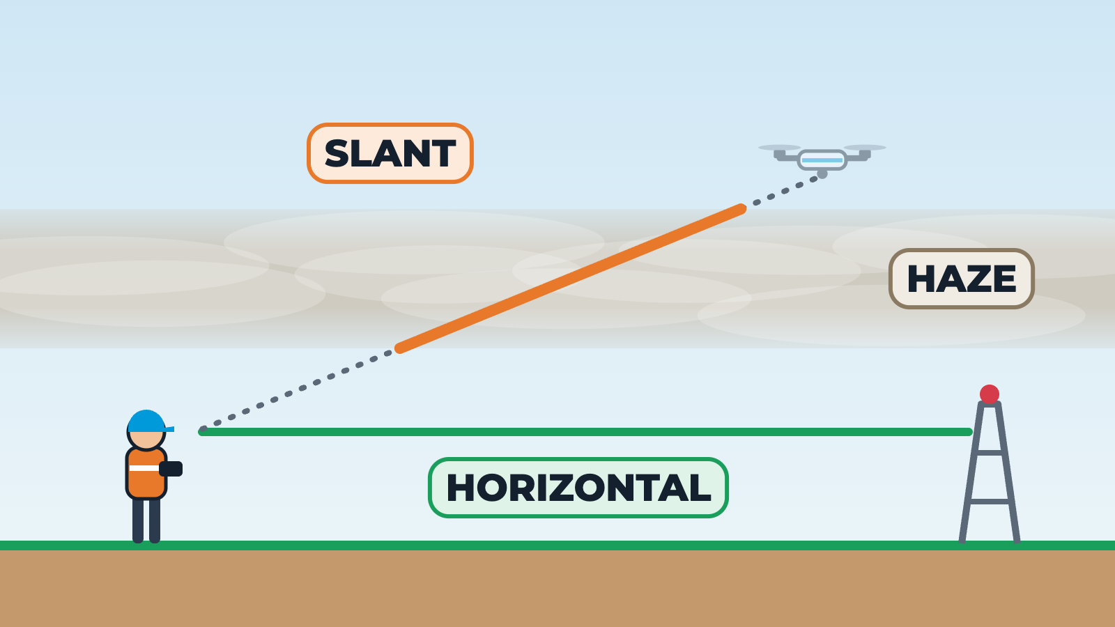
Two scenes. First, a top-down compass with north at the top. Wind is described by the direction it comes from: an arrow labelled FROM sits on the west side and air streams across to the east, with a windsock pointing downwind. The code 270/15 means from 270 degrees at 15 knots; when gusts appear the code becomes 270/15G25. The direction slider changes where the wind comes from. Second, a side view of a pilot under an elevated haze layer. Looking along the ground to a distant tower the view is clear: horizontal visibility. Looking up at a drone, the line of sight crosses the haze layer, and as the drone moves further out at a lower angle the part of the line inside the haze gets longer and the drone becomes harder to see: slant visibility can be worse than horizontal visibility.