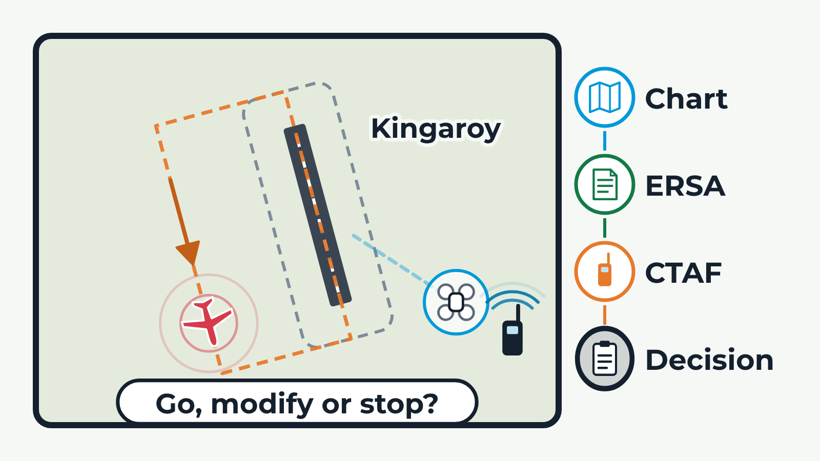
A schematic top-down map of a non-towered aerodrome, using Kingaroy as the example, with a drone worksite outside the aerodrome boundary. A checklist on the right lights up one item at a time. Chart: the aerodrome appears as a chart symbol and a dashed line links it to the worksite. ERSA: the symbol turns into the runway, boundary and aerodrome name. CTAF: a left-hand circuit is drawn and a light aircraft flies it while broadcasting, and the worksite shows the crew's briefed radio plan (monitor only, transmit, or no radio required, where the crew still plans to see and hear traffic). Decision: the whole picture is framed and the question 'Go, modify or stop?' appears. Buttons step through the checks and choose the radio plan.