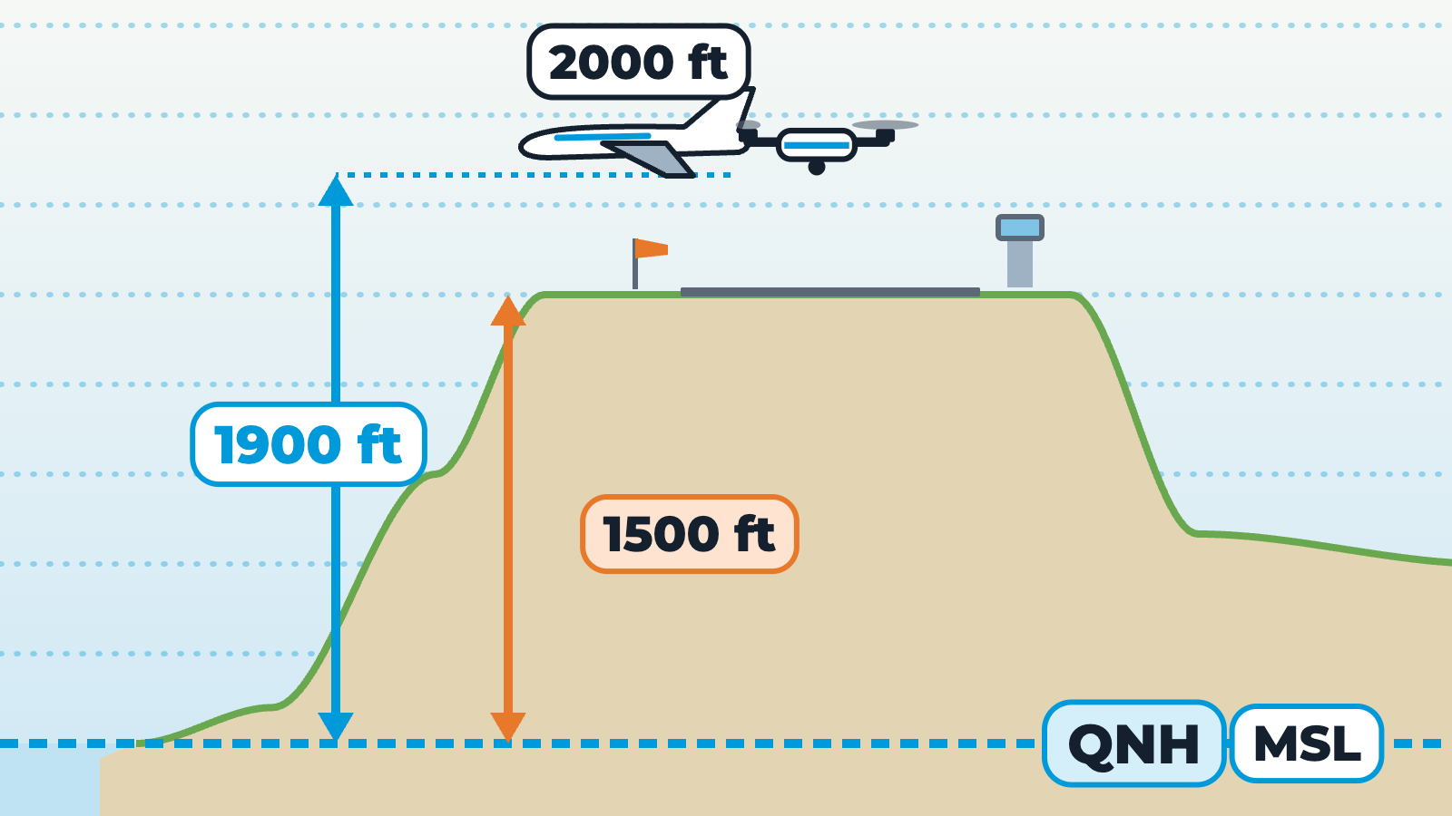
Side view above mean sea level, drawn to scale, with an aerodrome on high ground at an example elevation of 1500 ft. Faint lines across the sky are levels of equal pressure. A drone climbs 400 ft above the aerodrome and crosses them: pressure falls as it climbs, roughly 1 hectopascal for every 30 ft. With QNH, the pressure reference is mean sea level, so the reading is altitude above mean sea level: 1500 plus 400 is about 1900 ft. A crewed aircraft at 2000 ft passes only a little above the drone. With QFE, the reference is the actual pressure at the aerodrome, so the reading is height above the aerodrome: 400 ft. Example values from the lesson, rule of thumb only.