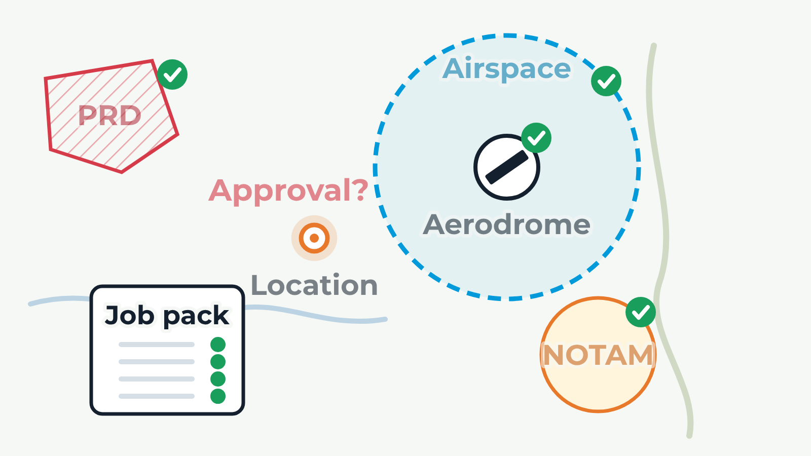
A fictional chart with a drone operating site in the middle. A ring spreads outward from the site, working from the location outward. It stops at a control zone boundary (airspace), then a nearby aerodrome, then a restricted area (PRD), then a temporary NOTAM area; each one is ticked when checked. Next the question 'Approval?' appears over the site. Finally the ticks fly into a job pack card, showing that the decision is recorded. Back and Next buttons step through each check.